South Duffield Common
Downs, Moorland in Yorkshire Selby
England
South Duffield Common

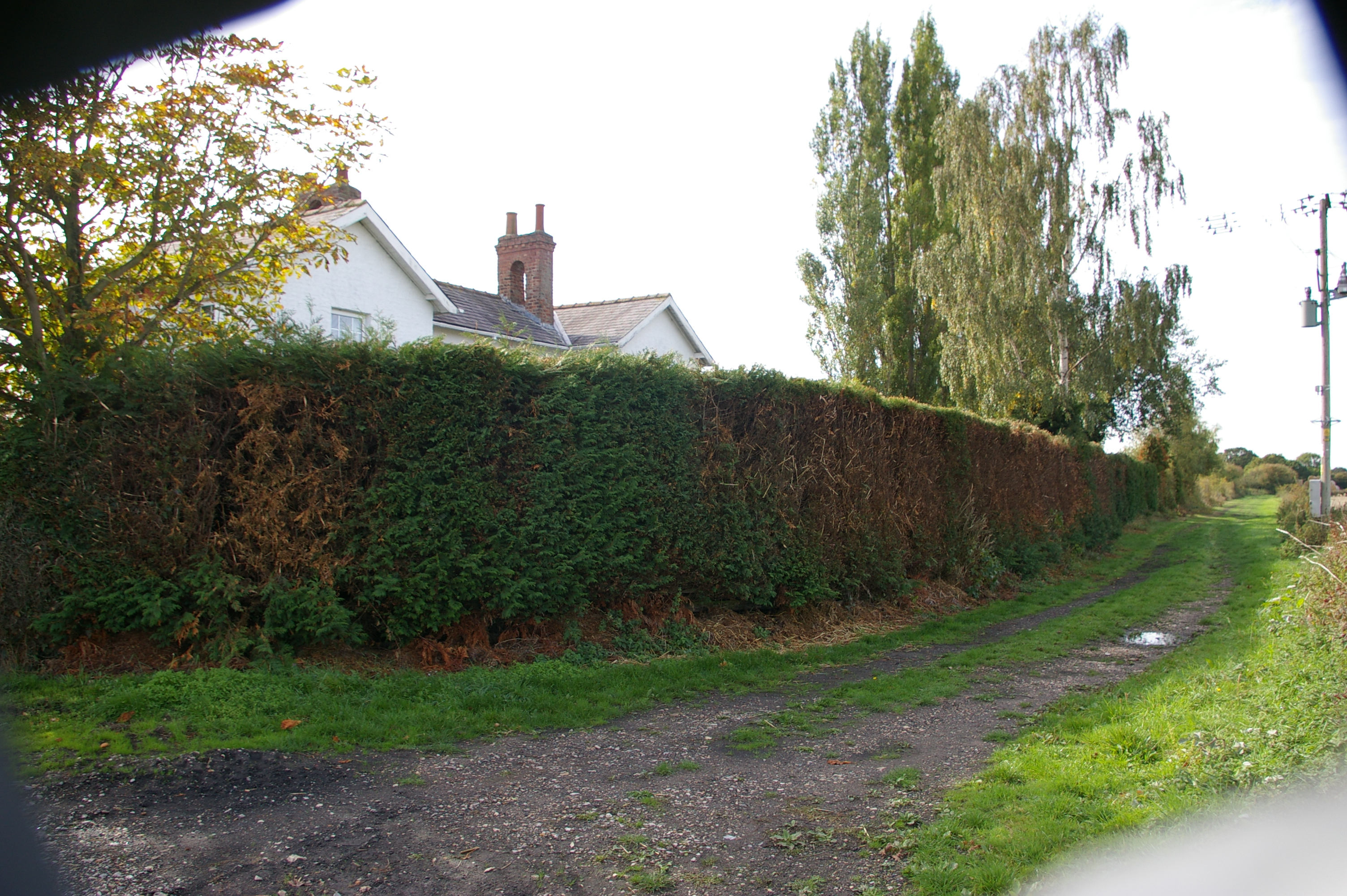
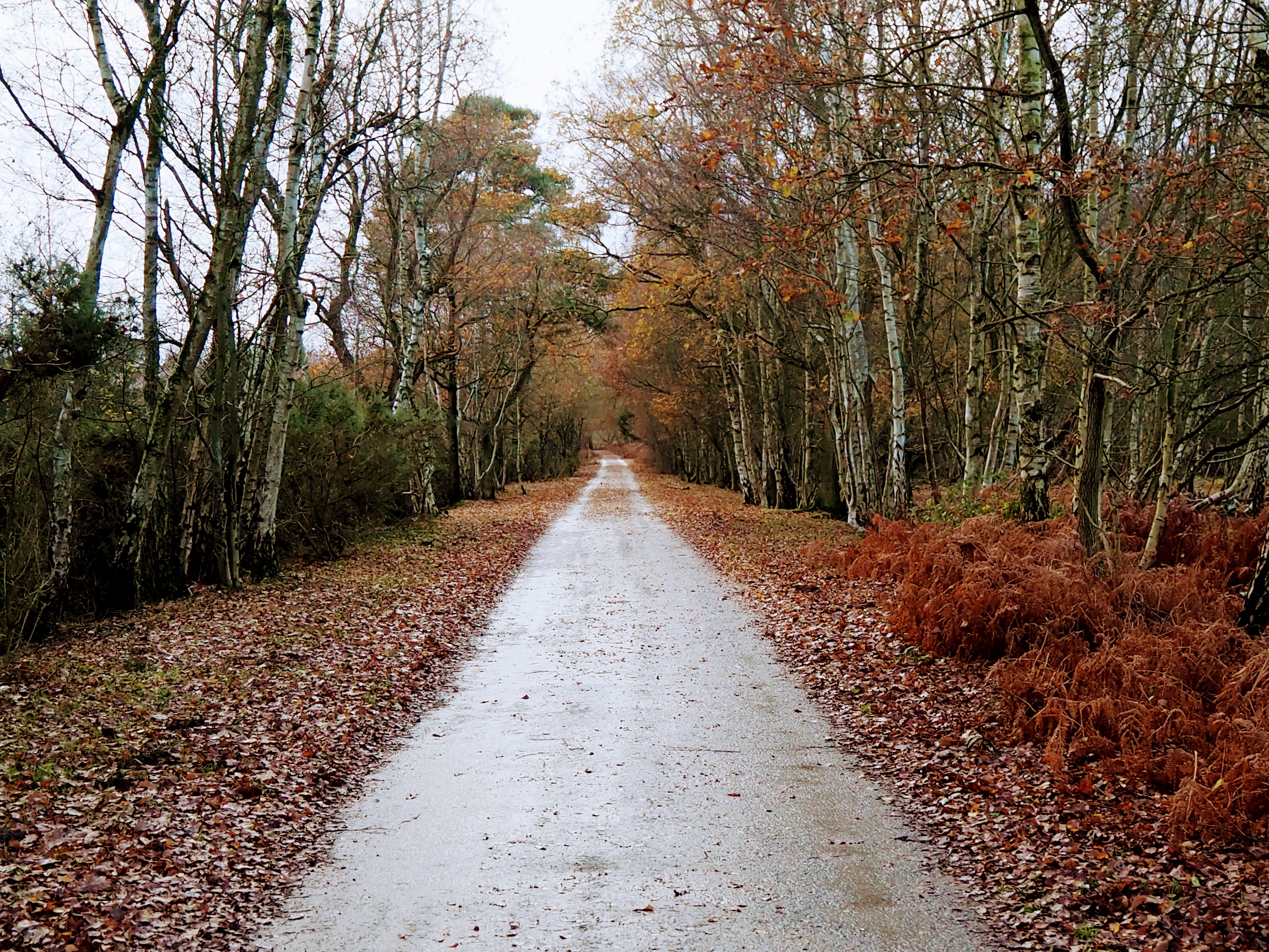
South Duffield Common is a picturesque area located in the county of Yorkshire, England. Situated amidst the stunning Yorkshire Downs and Moorland, the common covers an approximate area of 200 acres. It is characterized by its diverse terrain, encompassing rolling hills, gentle slopes, and open spaces, making it an ideal location for nature enthusiasts and outdoor lovers.
The common boasts a rich biodiversity, with a variety of plant and animal species calling it home. Visitors can expect to encounter a range of flora, including heather, gorse, and wildflowers, which create a vibrant and colorful landscape throughout the year. The area is also known for its abundant birdlife, with species such as skylarks, lapwings, and curlews frequently spotted in the skies above.
Walking and hiking trails crisscross the common, offering visitors the opportunity to explore and appreciate its natural beauty. These paths lead to breathtaking viewpoints that provide panoramic vistas of the surrounding countryside, offering a tranquil escape from the hustle and bustle of everyday life.
South Duffield Common is not only a haven for wildlife and nature enthusiasts but also holds historical significance. The area is dotted with ancient burial mounds and remnants of Iron Age settlements, giving visitors a glimpse into the region's past.
Overall, South Duffield Common is a captivating destination that combines natural beauty, tranquility, and a touch of history. Whether it's a leisurely stroll, birdwatching, or simply immersing oneself in the stunning scenery, this common offers a memorable experience for all who visit.
If you have any feedback on the listing, please let us know in the comments section below.
South Duffield Common Images
Images are sourced within 2km of 53.80904/-0.97592467 or Grid Reference SE6735. Thanks to Geograph Open Source API. All images are credited.


South Duffield Common is located at Grid Ref: SE6735 (Lat: 53.80904, Lng: -0.97592467)
Division: East Riding
Administrative County: North Yorkshire
District: Selby
Police Authority: North Yorkshire
What 3 Words
///roofs.reflector.renovated. Near North Duffield, North Yorkshire
Nearby Locations
Related Wikis
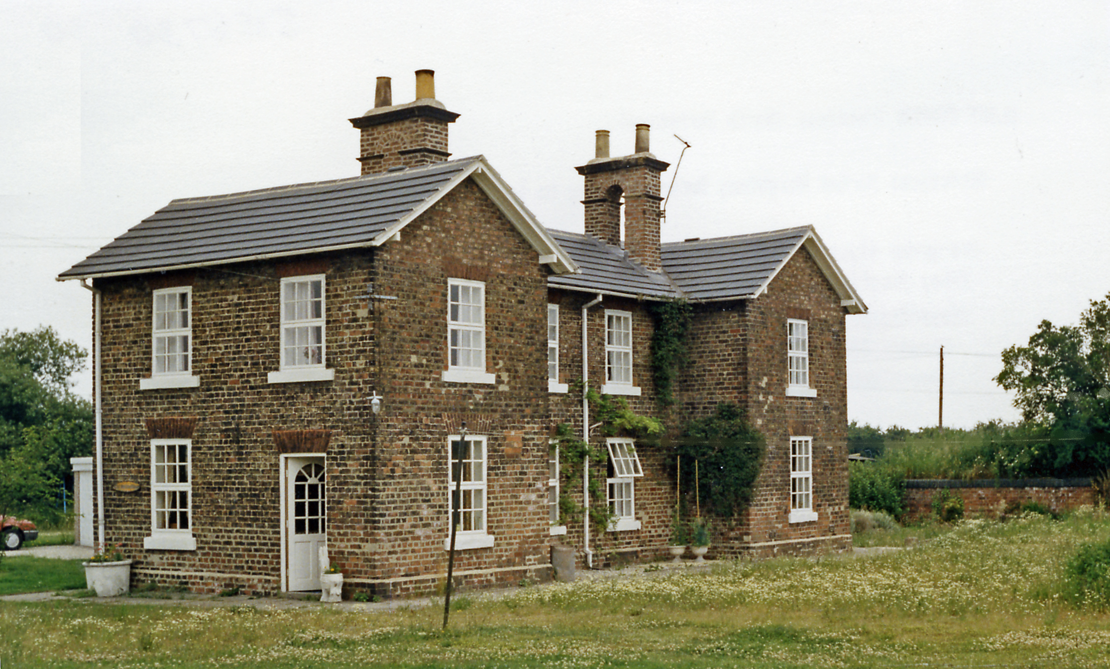
Duffield Gate railway station
Duffield Gate railway station was a station on the Selby to Driffield Line in North Yorkshire, England, serving the hamlet of South Duffield. It opened...
Cliffe Common railway station
Cliffe Common railway station, also known as Cliff Common, formerly Cliff Common Gate, served the village of Cliffe, Selby, England from 1848 to 1964 on...

Menthorpe Gate railway station
Menthorpe Gate railway station was a station on the Selby to Driffield Line in North Yorkshire, England serving the village of North Duffield and the hamlets...
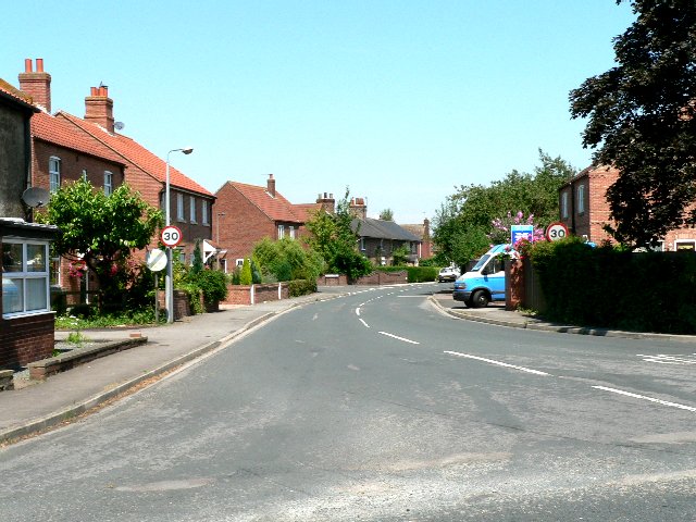
North Duffield
North Duffield is a village and civil parish in the Selby District of North Yorkshire, England. It was historically part of the East Riding of Yorkshire...
Skipwith Common
Skipwith Common is a national nature reserve south of Skipwith, North Yorkshire, England. It is one of only three areas within the Vale of York that represent...

Menthorpe
Menthorpe is a hamlet in the civil parish of North Duffield in North Yorkshire, England. It lies on the west bank of the River Derwent, 6 miles (10 km...

Ouse and Derwent
Ouse and Derwent was a wapentake of the historic East Riding of Yorkshire, England consisting of the westerly part of the county, between the River Ouse...
Duffield Castle, North Yorkshire
Duffield Castle lay on the flood plain of the River Derwent in the parish of North Duffield in the English county of North Yorkshire. It was documented...
Nearby Amenities
Located within 500m of 53.80904,-0.97592467Have you been to South Duffield Common?
Leave your review of South Duffield Common below (or comments, questions and feedback).