Smeeton Gorse
Downs, Moorland in Leicestershire Harborough
England
Smeeton Gorse
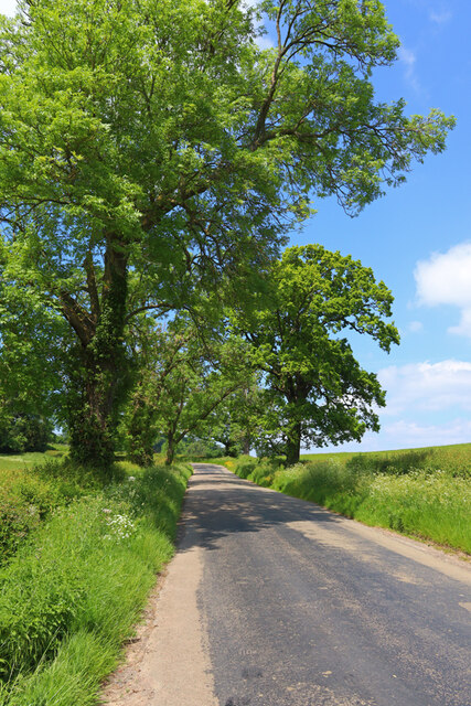
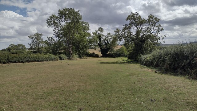
Smeeton Gorse is a picturesque area located in Leicestershire, England. Situated amidst the stunning countryside, it offers a mix of downs and moorland landscapes, showcasing the natural beauty of the region.
The downs of Smeeton Gorse are characterized by rolling hills covered in lush green grass, providing a tranquil and serene setting. The undulating terrain creates a sense of depth and variety, making it a popular spot for hiking and walking enthusiasts. The downs are also home to a diverse range of plant and animal species, adding to the area's ecological significance.
In contrast, the moorland of Smeeton Gorse showcases a more rugged and wild environment. Here, heather and gorse dominate the landscape, creating a vibrant and colorful scenery. Moorland birds, such as the red grouse, can often be spotted in this area, making it a haven for birdwatchers and nature enthusiasts.
Smeeton Gorse is known for its peaceful and idyllic atmosphere, providing visitors with an escape from the hustle and bustle of city life. The area is well-maintained and accessible, with designated paths and trails for visitors to explore. It offers stunning panoramic views of the surrounding countryside, making it a popular destination for photographers and artists.
Overall, Smeeton Gorse in Leicestershire is a haven of natural beauty, offering a diverse range of landscapes and habitats. Whether one seeks a leisurely walk through the downs or an adventurous hike in the moorland, this area is sure to captivate visitors with its charm and tranquility.
If you have any feedback on the listing, please let us know in the comments section below.
Smeeton Gorse Images
Images are sourced within 2km of 52.511778/-1.0093581 or Grid Reference SP6790. Thanks to Geograph Open Source API. All images are credited.


Smeeton Gorse is located at Grid Ref: SP6790 (Lat: 52.511778, Lng: -1.0093581)
Administrative County: Leicestershire
District: Harborough
Police Authority: Leicestershire
What 3 Words
///defeated.camcorder.tower. Near Fleckney, Leicestershire
Nearby Locations
Related Wikis

Saddington Reservoir
Saddington Reservoir is a canal reservoir and 19.1 hectares (47 acres) biological Site of Special Scientific Interest south of Saddington in Leicestershire...
Gumley
Gumley is a village and civil parish in the Harborough district, in the county of Leicestershire, England, United Kingdom. The closest town is Market Harborough...

Harborough (UK Parliament constituency)
Harborough () is a constituency covering the south east of Leicestershire represented in the House of Commons of the UK Parliament since 2017 by Neil O...
Saddington
Saddington is a village in the Harborough district of Leicestershire, England. It is close to Smeeton Westerby, Gumley, Kibworth and Fleckney. The population...

Smeeton Westerby
Smeeton Westerby is a village and civil parish in the Harborough district, located approximately nine miles south east from Leicester. Smeeton Westerby...

Laughton, Leicestershire
Laughton is a small village and parish situated in Leicestershire, approximately 5 miles west of Market Harborough. Old buildings dominate Laughton with...

Foxton Locks
Foxton Locks (grid reference SP691895) are ten canal locks consisting of two "staircases" each of five locks, located on the Leicester line of the Grand...
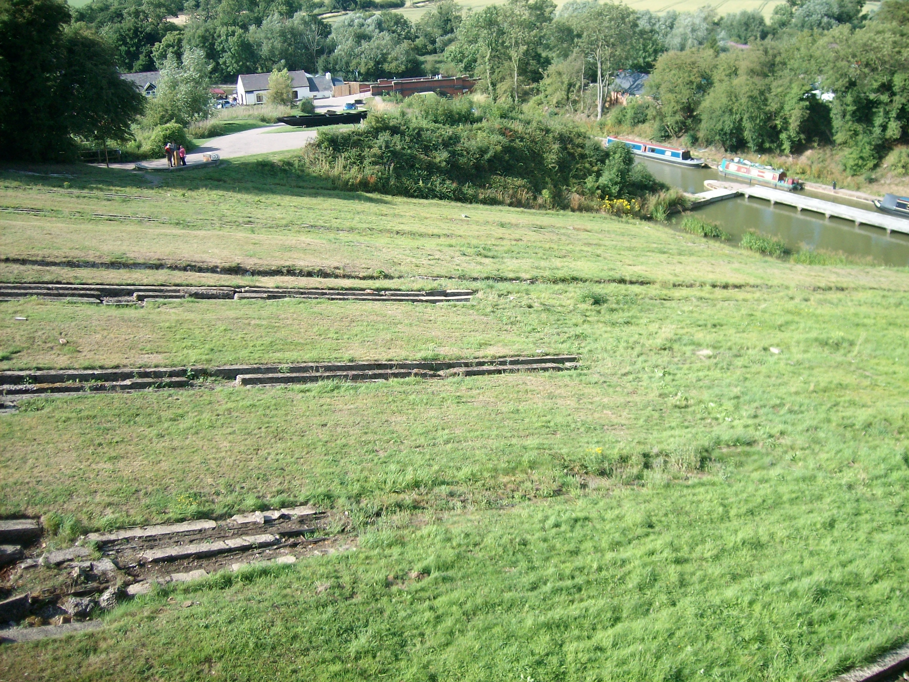
Foxton Inclined Plane
The Foxton Inclined Plane is a canal inclined plane on the Leicester line of the Grand Union Canal about 5 km (3.1 mi) west of the Leicestershire town...
Nearby Amenities
Located within 500m of 52.511778,-1.0093581Have you been to Smeeton Gorse?
Leave your review of Smeeton Gorse below (or comments, questions and feedback).