Sayland Field
Downs, Moorland in Yorkshire Ryedale
England
Sayland Field

Sayland Field is a picturesque open space located in the heart of Yorkshire, England. Situated between the stunning Yorkshire Downs and vast Moorland, this area offers visitors a diverse and captivating landscape. The field spans an area of approximately 50 acres and is renowned for its natural beauty and tranquility.
With its rolling hills, lush greenery, and breathtaking views, Sayland Field is a haven for nature lovers and outdoor enthusiasts. The field is home to a variety of plant and animal species, including colorful wildflowers, grazing sheep, and occasional sightings of birds of prey. It provides an ideal setting for leisurely walks, picnics, and nature photography.
The Yorkshire Downs form a striking backdrop to Sayland Field, with their majestic peaks and sweeping valleys. These hills offer opportunities for hiking and offer panoramic views of the surrounding countryside. The area is well-maintained, with clearly marked trails and information boards that provide interesting facts about the local flora and fauna.
Adjacent to the field, the Moorland stretches out as far as the eye can see. This rugged and untamed landscape is characterized by its vast expanses of heather, rocky outcrops, and peat bogs. The Moorland is a unique habitat that supports a diverse range of wildlife, including grouse, red deer, and various species of birds.
Sayland Field, with its harmonious blend of Downs and Moorland, offers visitors a chance to immerse themselves in the natural wonders of Yorkshire. Whether it's exploring the rolling hills, marveling at the wildflowers, or simply enjoying the peace and tranquility, this enchanting location provides an unforgettable experience for all who visit.
If you have any feedback on the listing, please let us know in the comments section below.
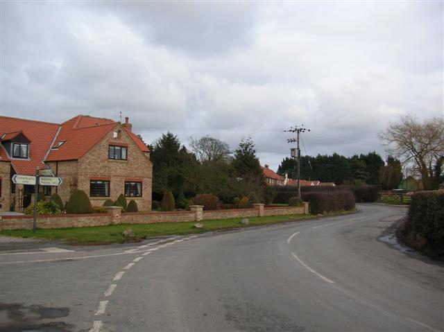
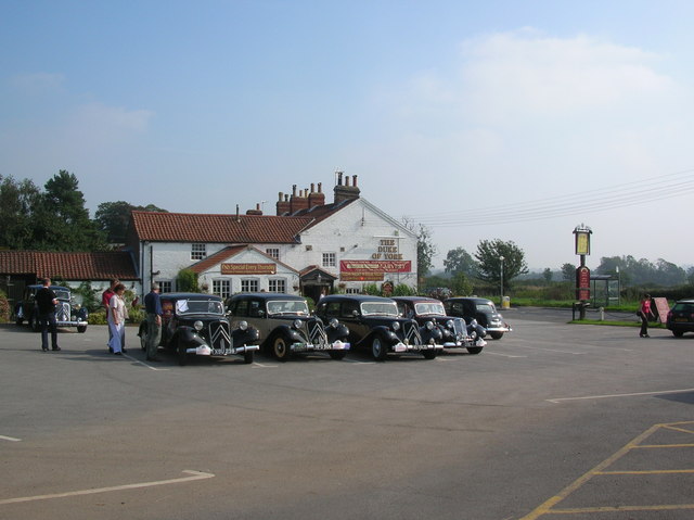
Sayland Field Images
Images are sourced within 2km of 53.98508/-0.9755618 or Grid Reference SE6754. Thanks to Geograph Open Source API. All images are credited.


Sayland Field is located at Grid Ref: SE6754 (Lat: 53.98508, Lng: -0.9755618)
Division: North Riding
Administrative County: North Yorkshire
District: Ryedale
Police Authority: North Yorkshire
What 3 Words
///scrap.skyrocket.gentle. Near Holtby, North Yorkshire
Nearby Locations
Related Wikis

Holtby
Holtby is a small village and civil parish in the unitary authority of the City of York in North Yorkshire, England. The population at the 2011 Census...
Warthill
Warthill is a village and civil parish in North Yorkshire, England, six miles north-east of York and 14 miles south-west of Malton. The village has one...

Brockfield Hall
Brockfield Hall is a country house in Warthill, east of York in North Yorkshire, England. The hall was built in 1804 for Benjamin Agar, to a design by...
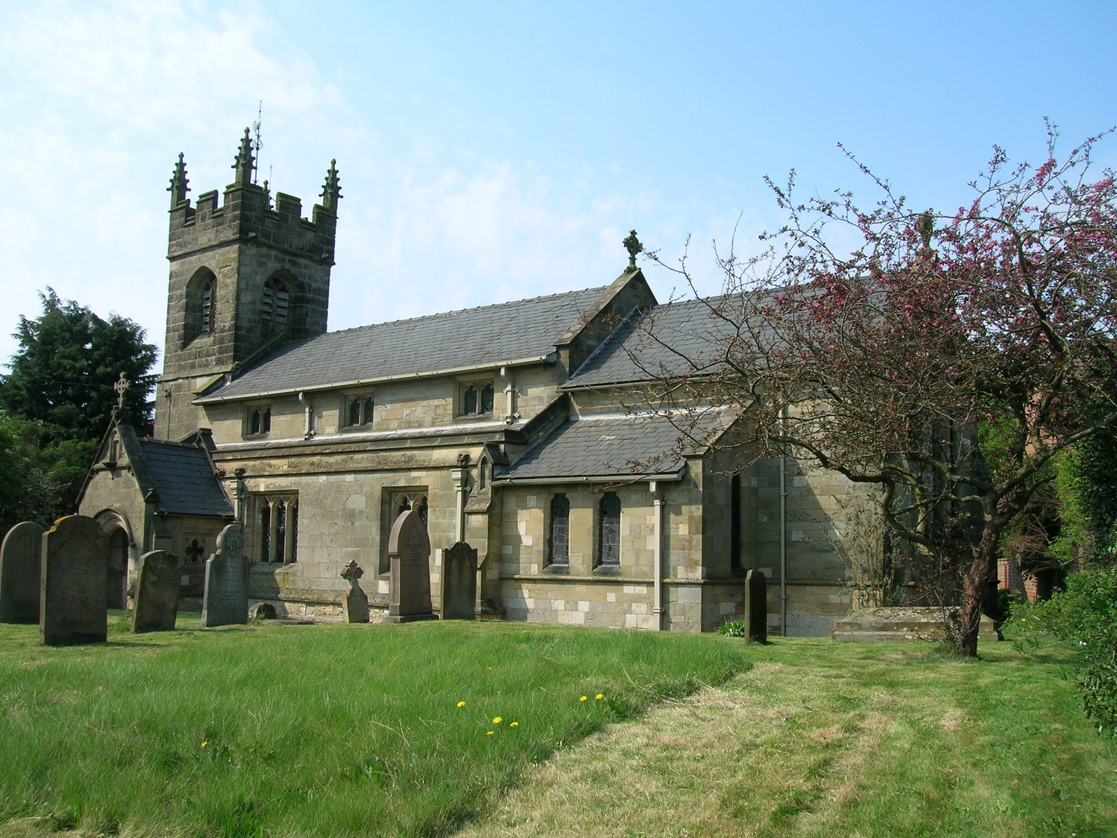
St Mary's Church, Gate Helmsley
St Mary's Church is the parish church of Gate Helmsley, a village east of York and west of Stamford Bridge, in North Yorkshire. The oldest parts of the...

Stockton-on-the-Forest
Stockton-on-the-Forest is a village and civil parish in the unitary authority of the City of York in North Yorkshire, England. == History == The village...
Gate Helmsley
Gate Helmsley is a village and civil parish in North Yorkshire, England, about seven miles east of York. The village lies on the border with the East Riding...
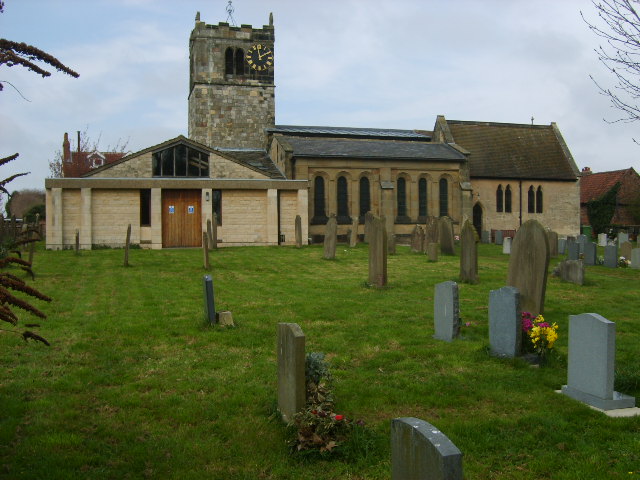
St Nicholas' Church, Dunnington
St Nicholas' Church, Dunnington is a Grade II* listed parish church in Dunnington, a village in the rural south-eastern part of the City of York, in England...

Dunnington
Dunnington is a village and civil parish in the City of York and ceremonial county of North Yorkshire, England. The population of the civil parish was...
Nearby Amenities
Located within 500m of 53.98508,-0.9755618Have you been to Sayland Field?
Leave your review of Sayland Field below (or comments, questions and feedback).