West Cottingworth Common

Downs, Moorland in Yorkshire Selby

England

West Cottingworth Common

Footpath Sign New footpath sign with distance now shown in Kilometres.
Footpath Sign Credit: Brian C Payne

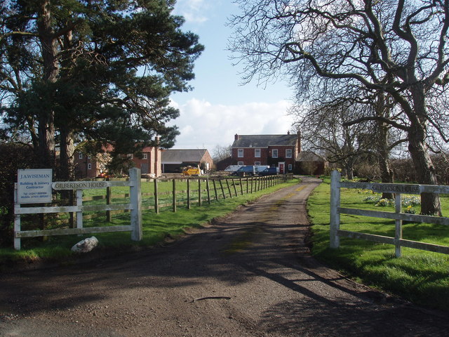
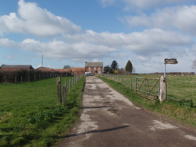
West Cottingworth Common is a picturesque area located in Yorkshire, England. Spread over a vast expanse of downs and moorland, it offers breathtaking natural beauty and diverse ecosystems. The common is situated in the western part of Cottingworth, a small village with a population of around 500 residents.

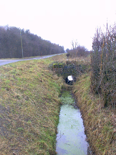
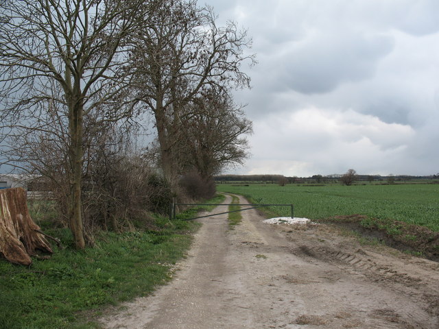
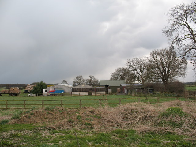
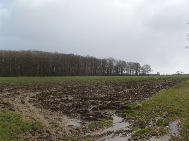
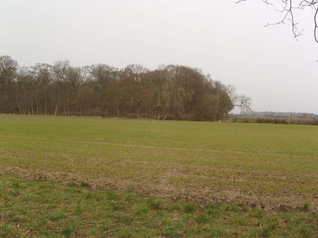
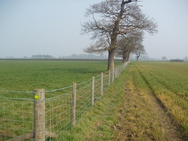
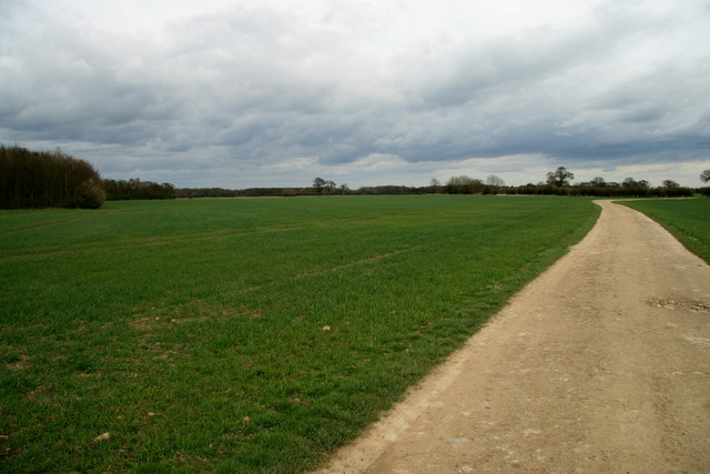
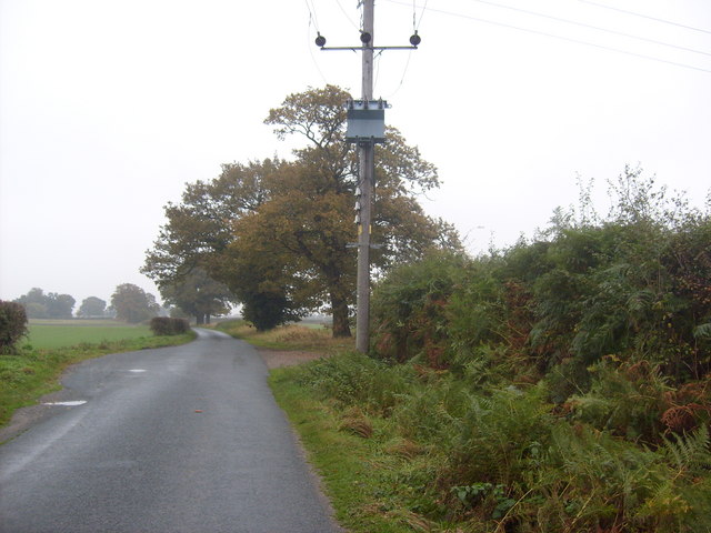
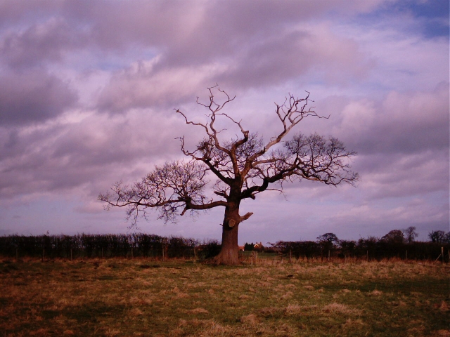
The common is characterized by rolling hills covered in heather and grasses, providing a scenic backdrop for visitors. The area is home to a variety of wildlife, including birds, insects, and small mammals, making it a popular spot for nature enthusiasts and bird-watchers.

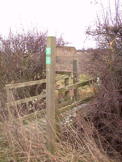
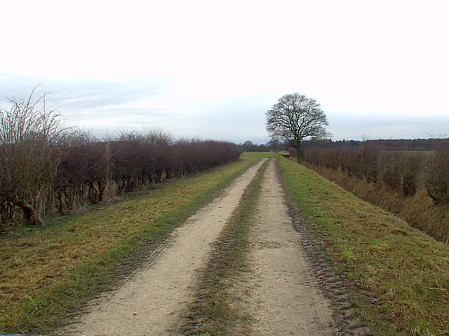
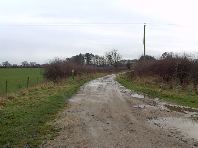
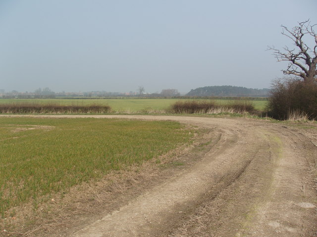
Walking trails crisscross the common, allowing visitors to explore and enjoy the stunning landscapes. These trails provide an opportunity to witness the changing colors of the seasons, from vibrant purple heather in the summer to golden hues in autumn.

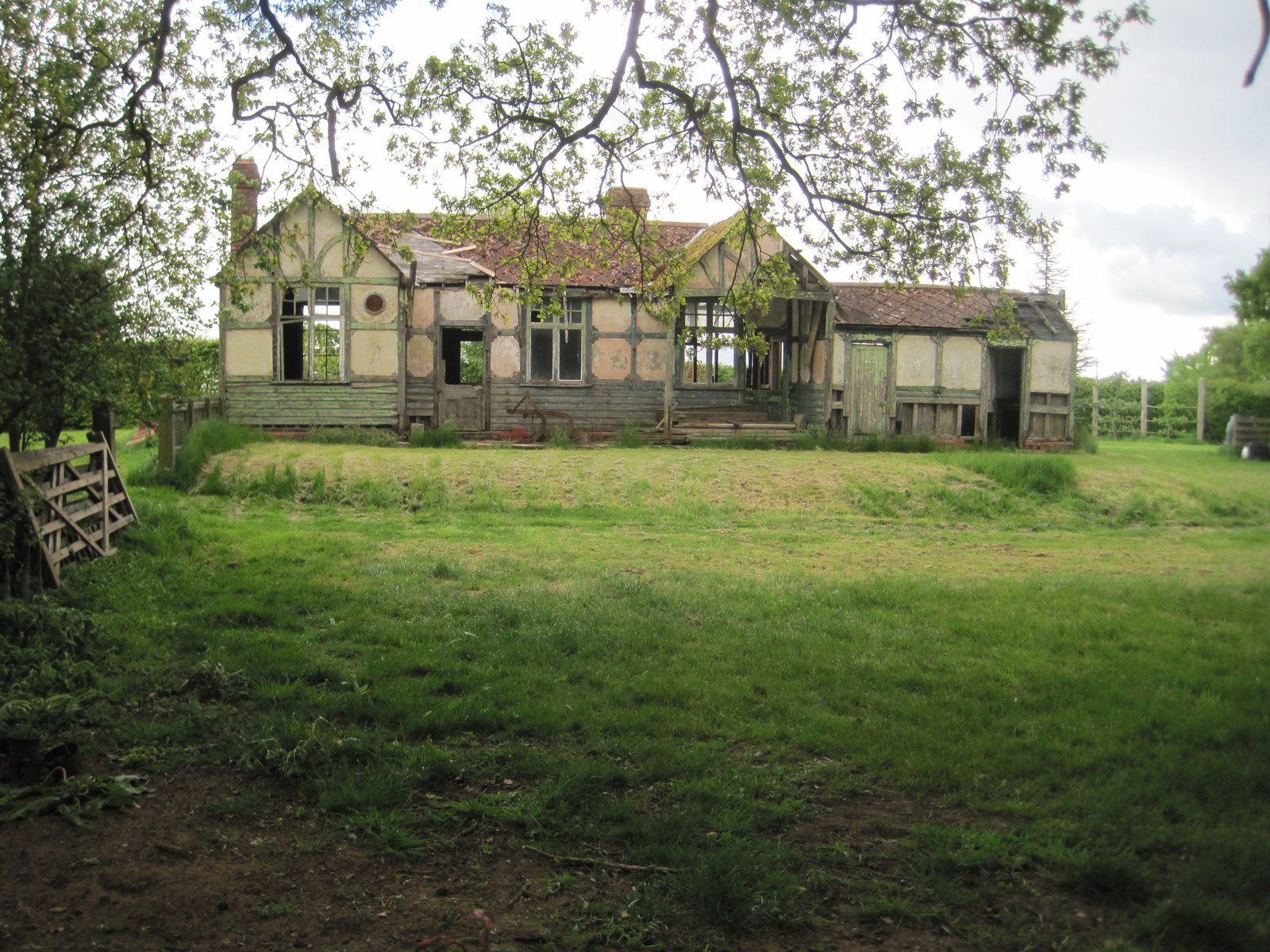
West Cottingworth Common also boasts a rich history, with evidence of prehistoric settlements and ancient burial mounds found in the area. Archaeological enthusiasts can explore these remnants of the past, gaining insight into the region's early inhabitants.

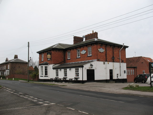
In addition to its natural and historical significance, the common provides a peaceful retreat for locals and tourists alike. Its serene atmosphere and unspoiled surroundings make it an ideal location for picnics, photography, or simply unwinding amidst nature's tranquility.

Overall, West Cottingworth Common offers a captivating blend of natural beauty, biodiversity, and historical significance, making it a must-visit destination for those seeking an escape from the hustle and bustle of modern life.

If you have any feedback on the listing, please let us know in the comments section below.

West Cottingworth Common Images

Images are sourced within 2km of 53.874972/-0.98471872 or Grid Reference SE6642. Thanks to Geograph Open Source API. All images are credited.

Footpath Sign New footpath sign with distance now shown in Kilometres.
Footpath Sign
New footpath sign with distance now shown in Kilometres.
Drain and Culvert The drain and culverts along the roadside by Common Bottom Woods with the line of the dismantled railway tracks passing over this point.
Drain and Culvert
The drain and culverts along the roadside by Common Bottom Woods with the line of the dismantled railway tracks passing over this point.
ORPA (Other Route with Public Access) The tarmac of the road stops at a right turn into the last house along this lane, then passage through to connect with Common Farm - Thorganby lane is via this ORPA.
ORPA (Other Route with Public Access)
The tarmac of the road stops at a right turn into the last house along this lane, then passage through to connect with Common Farm - Thorganby lane is via this ORPA.
Footpath Gated lane with Public Footpath access through to West Grange.
Footpath
Gated lane with Public Footpath access through to West Grange.
Wheldrake Lane North Yorkshire sign on the boundary with the City of York. Pre 1974 this was East Riding, then for nearly 30 years it was all North Yorkshire, but York has expanded its boundaries and now includes Wheldrake.
Wheldrake Lane
North Yorkshire sign on the boundary with the City of York. Pre 1974 this was East Riding, then for nearly 30 years it was all North Yorkshire, but York has expanded its boundaries and now includes Wheldrake.
Leonard Scales Lane near Wheldrake This track drops very gently towards low lying farmland from Wheldrake Lane, which follows a low W-E ridge, part of the Escrick moraine.
Leonard Scales Lane near Wheldrake
This track drops very gently towards low lying farmland from Wheldrake Lane, which follows a low W-E ridge, part of the Escrick moraine.
Farm buildings near Wheldrake Most farm buildings in this area are built along the better drained Escrick moraine ridge.
Farm buildings near Wheldrake
Most farm buildings in this area are built along the better drained Escrick moraine ridge.
Gilbertson House
Gilbertson House
Wheldrake Grange
Wheldrake Grange
Thornums Wood near Thorganby Thornums Wood from Common Lane near Thorganby.
Thornums Wood near Thorganby
Thornums Wood from Common Lane near Thorganby.
Crinklety Wood near Thorganby Crinklety Wood from Common Lane near Thorganby.
Crinklety Wood near Thorganby
Crinklety Wood from Common Lane near Thorganby.
Bend in Agricultural Access Lane
New Field Boundary near "The Parks" Not shown as a field boundary on the 1:25,000 scale OS map, this new post and wire field boundary can be clearly located by the public footpath that crosses it at a right angle (PF marker shown on the corner post) and the area of mixed woodland behind the photographer.  The trees are relatively mature and must have been a feature of "The Parks" when it was one large field. Currently it is arable to the south of the new field boundary and grass to the North.
New Field Boundary near "The Parks"
Not shown as a field boundary on the 1:25,000 scale OS map, this new post and wire field boundary can be clearly located by the public footpath that crosses it at a right angle (PF marker shown on the corner post) and the area of mixed woodland behind the photographer. The trees are relatively mature and must have been a feature of "The Parks" when it was one large field. Currently it is arable to the south of the new field boundary and grass to the North.
Ready for use An area Northeast of Selby where much of the farmland has been turned over to growing lawn turf.
Ready for use
An area Northeast of Selby where much of the farmland has been turned over to growing lawn turf.
Tileshed Farmland Beyond Tileshed Farm on the Bridleway towards Common Farm, Partridge Remise can be seen far left with Fairburn Gorse beyond.
Tileshed Farmland
Beyond Tileshed Farm on the Bridleway towards Common Farm, Partridge Remise can be seen far left with Fairburn Gorse beyond.
Entrance to JE Hartley vegetable processing factory
Roth Hill Lane
Roth Hill Lane
Dead Tree Near Wheldrake Grange Farm, seen from Wheldrake Lane.
Dead Tree
Near Wheldrake Grange Farm, seen from Wheldrake Lane.
Show me another place!

West Cottingworth Common is located at Grid Ref: SE6642 (Lat: 53.874972, Lng: -0.98471872)

Division: East Riding

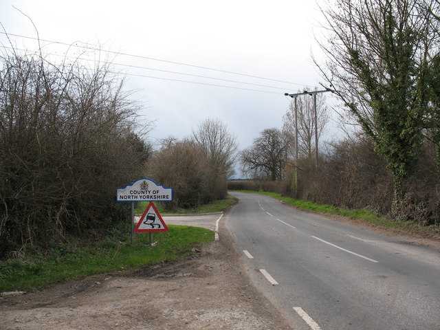
Administrative County: North Yorkshire

District: Selby

Police Authority: North Yorkshire

What 3 Words

///forge.journey.pushy. Near Wheldrake, North Yorkshire

Related Wikis

Cottingwith railway station

Cottingwith railway station served the village of East Cottingwith, East Riding of Yorkshire, England from 1913 to 1964 on the Derwent Valley Light Railway...

Thorganby railway station

Thorganby railway station served the village of Thorganby, North Yorkshire, England from 1912 to 1964 on the Derwent Valley Light Railway. The station...

Wheldrake railway station

Wheldrake railway station served the village of Wheldrake, East Riding of Yorkshire, England from 1913 to 1968 on the Derwent Valley Light Railway. �...

St Helen's Church, Thorganby

St Helen's Church is the parish church of Thorganby, a village in the Selby district of North Yorkshire, in England. A church in Thorganby was first recorded...

Thorganby, North Yorkshire

Thorganby is a small village and civil parish in North Yorkshire, England. It was historically part of the East Riding of Yorkshire until 1974, but from...

Wheldrake

Wheldrake is a village and civil parish located 7 miles (11 km) south-east of York in the unitary authority of the City of York, which is in the ceremonial...

St Helen's Church, Wheldrake

St Helen's Church is the parish church in Wheldrake, a village in the rural south-eastern part of the City of York, in England. The oldest part of the...

Derwent Rural District

Derwent was a rural district in the East Riding of Yorkshire from 1935 to 1974.It was created under a County Review Order in 1935, from most of the Escrick...

Nearby Amenities

Located within 500m of 53.874972,-0.98471872
Power: pole
Lat/Long: 53.8739814/-0.9920742
Power: pole
Lat/Long: 53.8727712/-0.9913725
West Cottingwith Common
Place: locality
Source: NLS OS historic 1st seies
Lat/Long: 53.8754811/-0.9878272
The data included in this document is from www.openstreetmap.org. The data is made available under ODbL.

Have you been to West Cottingworth Common?

Leave your review of West Cottingworth Common below (or comments, questions and feedback).