Acorn Plantation
Wood, Forest in Yorkshire Selby
England
Acorn Plantation
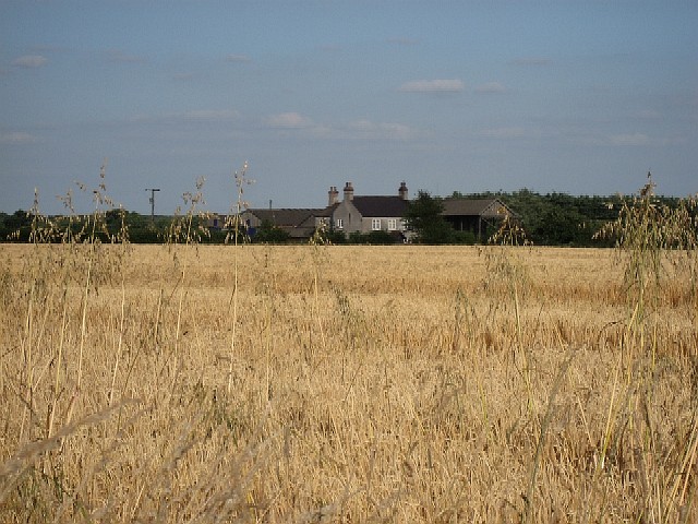
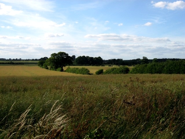
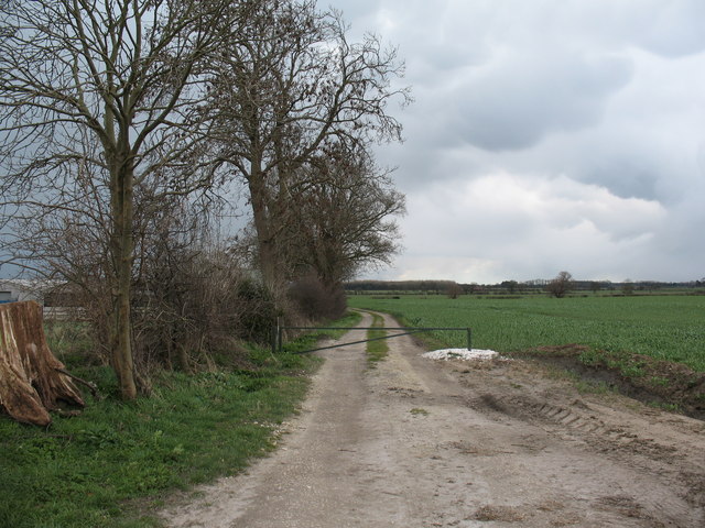
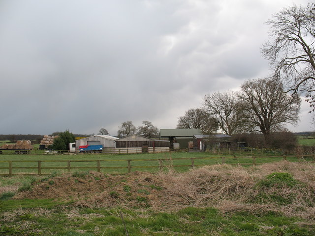
Acorn Plantation, located in the picturesque county of Yorkshire, is a sprawling woodland area renowned for its natural beauty and diverse ecosystem. Covering several thousand acres, this enchanting forest is a haven for nature enthusiasts, hikers, and wildlife lovers alike.
The plantation's landscape is characterized by a dense canopy of towering trees, predominantly oak and beech, which provide a striking visual spectacle throughout the year. The woodland floor is adorned with a rich tapestry of wildflowers, ferns, and mosses, creating a vibrant and colorful carpet underfoot.
Acorn Plantation is home to a wide array of wildlife, with an abundance of birds, mammals, and insects thriving within its boundaries. Birdwatchers can spot a variety of species, including woodpeckers, owls, and jays, while lucky visitors may catch a glimpse of elusive mammals such as deer, badgers, and foxes.
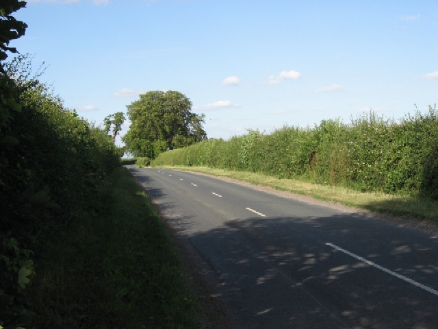
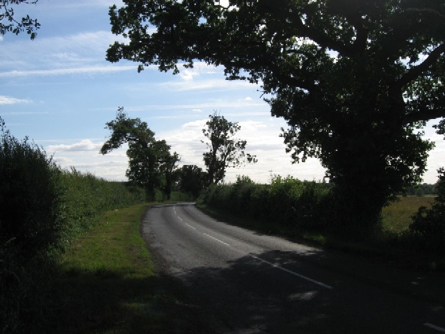
The plantation boasts an extensive network of walking trails that wind their way through the forest, allowing visitors to immerse themselves in the tranquil surroundings. These well-maintained paths range from gentle strolls to more challenging hikes, catering to individuals of all fitness levels.
In addition to its natural beauty, Acorn Plantation offers educational opportunities for visitors to learn about the importance of forest conservation and sustainable practices. Regular workshops and guided tours are organized, providing insights into the plantation's history, flora, and fauna.
Whether one seeks solitude amidst nature's embrace, an adventurous hike, or a chance to learn about the delicate balance of woodland ecosystems, Acorn Plantation in Yorkshire is a must-visit destination for nature enthusiasts and those seeking solace in the great outdoors.
If you have any feedback on the listing, please let us know in the comments section below.
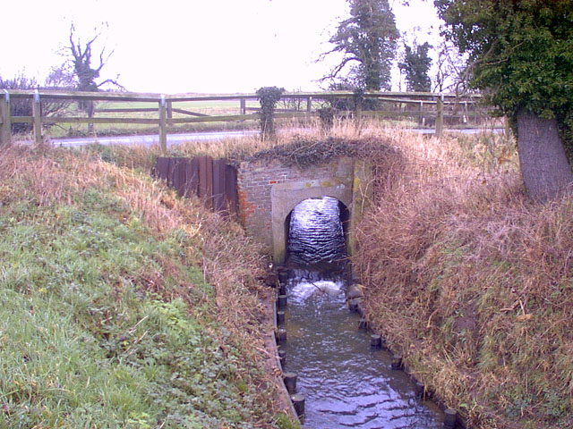
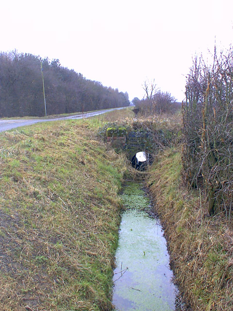
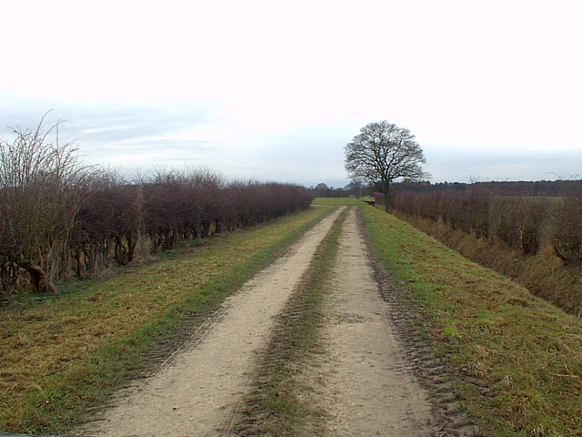
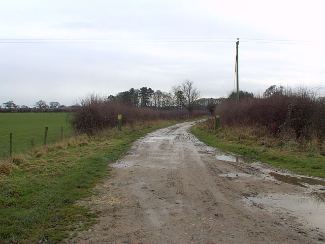
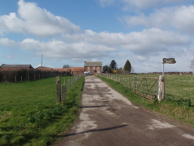
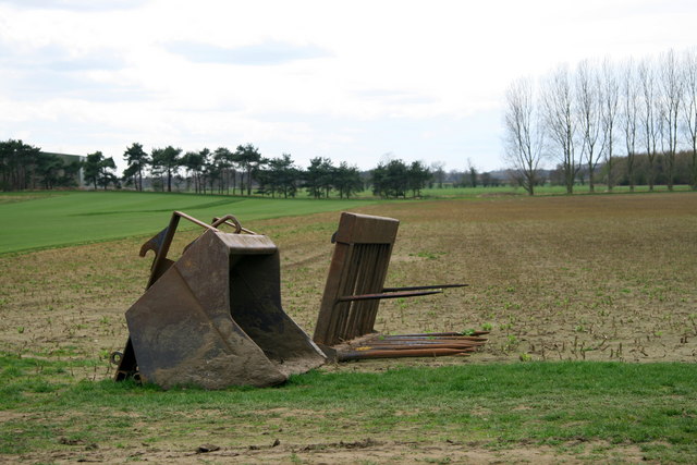
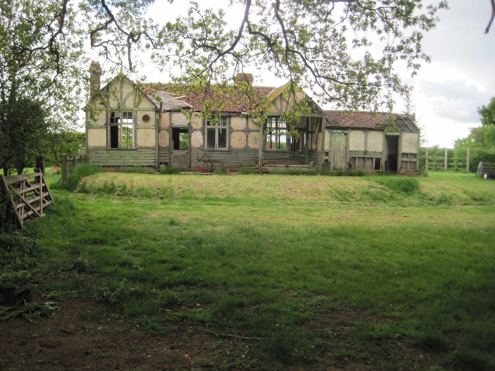
Acorn Plantation Images
Images are sourced within 2km of 53.873717/-0.99588275 or Grid Reference SE6642. Thanks to Geograph Open Source API. All images are credited.


Acorn Plantation is located at Grid Ref: SE6642 (Lat: 53.873717, Lng: -0.99588275)
Division: East Riding
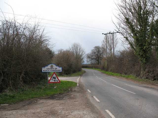
Administrative County: North Yorkshire
District: Selby
Police Authority: North Yorkshire
What 3 Words
///disarmed.young.dream. Near Wheldrake, North Yorkshire
Related Wikis

Cottingwith railway station
Cottingwith railway station served the village of East Cottingwith, East Riding of Yorkshire, England from 1913 to 1964 on the Derwent Valley Light Railway...
Thorganby railway station
Thorganby railway station served the village of Thorganby, North Yorkshire, England from 1912 to 1964 on the Derwent Valley Light Railway. The station...

Wheldrake railway station
Wheldrake railway station served the village of Wheldrake, East Riding of Yorkshire, England from 1913 to 1968 on the Derwent Valley Light Railway. �...

Garden Temple
Garden Temple, also known as Escrick Park Temple, is a temple and folly in Escrick, North Yorkshire, England. The temple is listed as a grade II building...

Derwent Rural District
Derwent was a rural district in the East Riding of Yorkshire from 1935 to 1974.It was created under a County Review Order in 1935, from most of the Escrick...
Queen Margaret's School, York
Established in 1901, Queen Margaret's (QM) is an independent boarding and day school for girls aged 11-18 set in 75 acres of parkland, six miles south...

St Helen's Church, Thorganby
St Helen's Church is the parish church of Thorganby, a village in the Selby district of North Yorkshire, in England. A church in Thorganby was first recorded...

Thorganby, North Yorkshire
Thorganby is a small village and civil parish in North Yorkshire, England. It was historically part of the East Riding of Yorkshire until 1974, but from...
Nearby Amenities
Located within 500m of 53.873717,-0.99588275Have you been to Acorn Plantation?
Leave your review of Acorn Plantation below (or comments, questions and feedback).