Coronation Plantation
Wood, Forest in Yorkshire Selby
England
Coronation Plantation
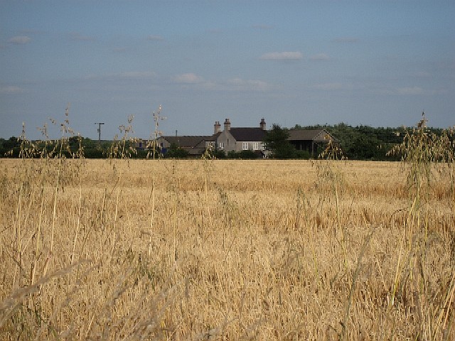
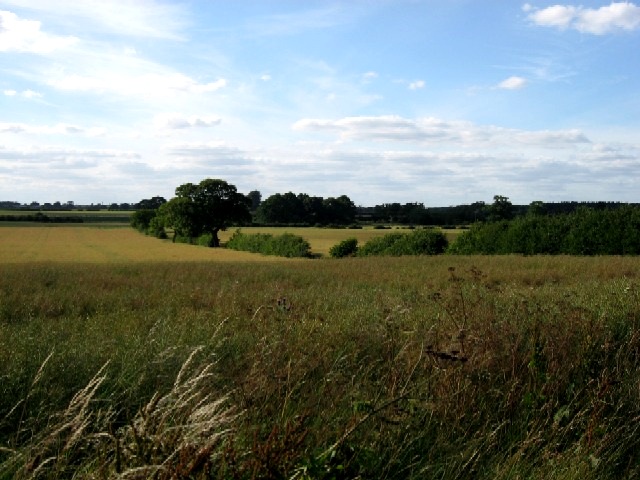
Coronation Plantation is a picturesque woodland located in the county of Yorkshire, England. Situated amidst the breathtaking landscape of the Yorkshire Dales, this enchanting forest is a haven for nature enthusiasts and adventurers alike.
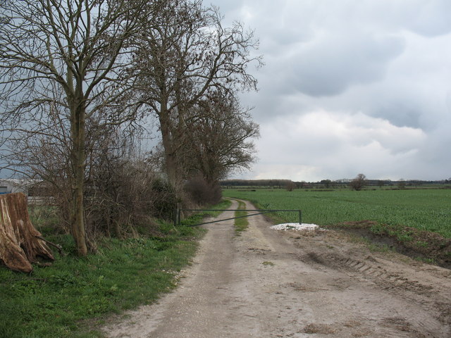
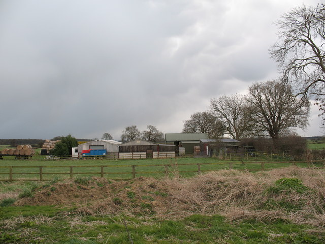
Covering an area of approximately 100 acres, Coronation Plantation is a diverse mix of native trees, including oak, ash, birch, and beech, creating a rich tapestry of colors throughout the seasons. The woodland is meticulously maintained, with well-maintained trails allowing visitors to explore its beauty.
The plantation offers a tranquil escape from the hustle and bustle of everyday life, with its peaceful atmosphere and the soothing sound of rustling leaves. It is a popular destination for walkers, joggers, and dog owners who can enjoy the serenity and fresh air while exploring the network of paths that meander through the forest.
Wildlife flourishes within the plantation, with an array of bird species making their homes among the trees. Lucky visitors may even catch a glimpse of a red squirrel or a roe deer, adding to the magical charm of the woodland.
Coronation Plantation is also a favorite spot for picnickers, with several designated areas providing scenic views and ample space for families and friends to gather and enjoy a meal surrounded by nature's beauty.
Overall, Coronation Plantation is a true gem in the Yorkshire countryside, offering a captivating experience for visitors of all ages. Whether you seek a peaceful walk, a wildlife encounter, or a simple moment of tranquility, this woodland sanctuary is sure to leave a lasting impression.
If you have any feedback on the listing, please let us know in the comments section below.
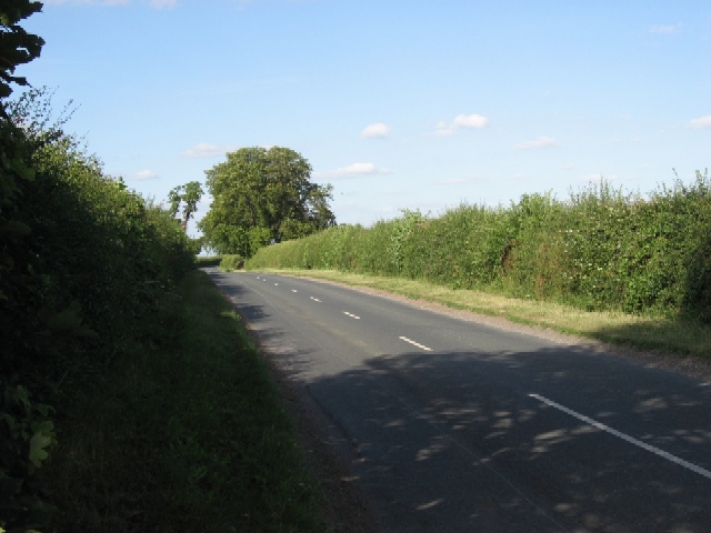
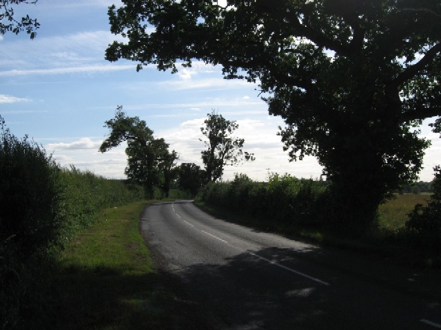
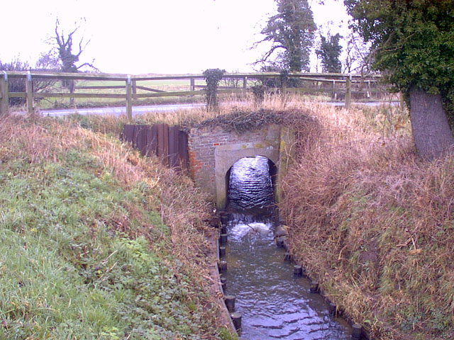
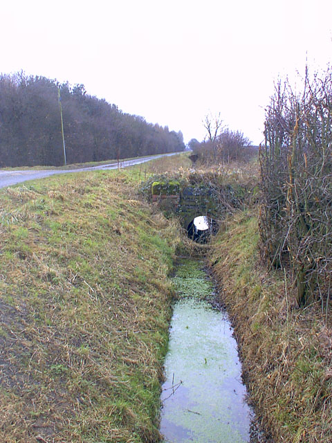
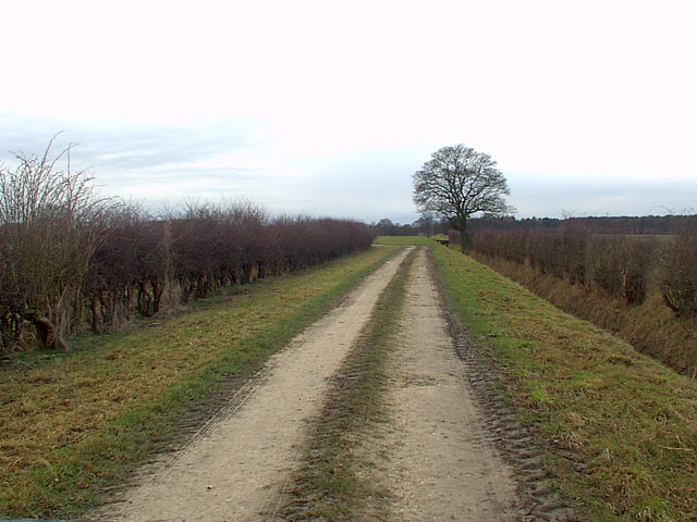
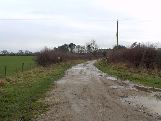
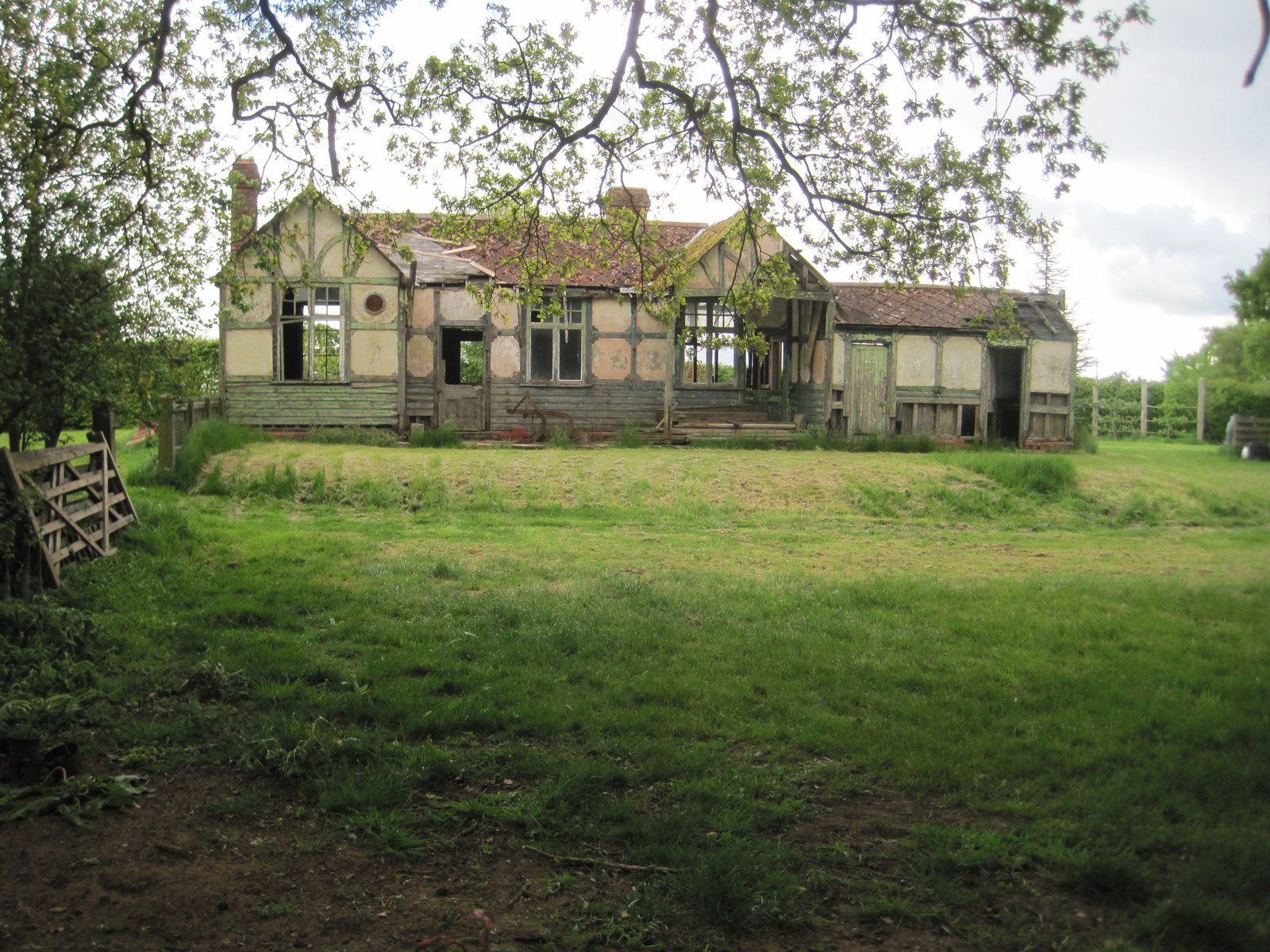
Coronation Plantation Images
Images are sourced within 2km of 53.873243/-0.99718694 or Grid Reference SE6642. Thanks to Geograph Open Source API. All images are credited.


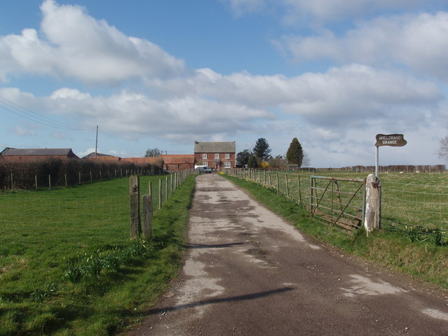


Coronation Plantation is located at Grid Ref: SE6642 (Lat: 53.873243, Lng: -0.99718694)
Division: East Riding
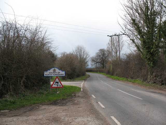
Administrative County: North Yorkshire
District: Selby
Police Authority: North Yorkshire
What 3 Words
///helpers.unicorns.impose. Near Wheldrake, North Yorkshire
Related Wikis

Cottingwith railway station
Cottingwith railway station served the village of East Cottingwith, East Riding of Yorkshire, England from 1913 to 1964 on the Derwent Valley Light Railway...
Thorganby railway station
Thorganby railway station served the village of Thorganby, North Yorkshire, England from 1912 to 1964 on the Derwent Valley Light Railway. The station...

Garden Temple
Garden Temple, also known as Escrick Park Temple, is a temple and folly in Escrick, North Yorkshire, England. The temple is listed as a grade II building...

Wheldrake railway station
Wheldrake railway station served the village of Wheldrake, East Riding of Yorkshire, England from 1913 to 1968 on the Derwent Valley Light Railway. �...

Derwent Rural District
Derwent was a rural district in the East Riding of Yorkshire from 1935 to 1974.It was created under a County Review Order in 1935, from most of the Escrick...
Queen Margaret's School, York
Established in 1901, Queen Margaret's (QM) is an independent boarding and day school for girls aged 11-18 set in 75 acres of parkland, six miles south...

St Helen's Church, Thorganby
St Helen's Church is the parish church of Thorganby, a village in the Selby district of North Yorkshire, in England. A church in Thorganby was first recorded...

Escrick
Escrick is a village and civil parish in North Yorkshire, England. It was in the historic East Riding of Yorkshire, but since 1974 has come under North...
Nearby Amenities
Located within 500m of 53.873243,-0.99718694Have you been to Coronation Plantation?
Leave your review of Coronation Plantation below (or comments, questions and feedback).