North Ings
Downs, Moorland in Yorkshire
England
North Ings

North Ings is a picturesque area situated in the county of Yorkshire, England. Known for its stunning natural beauty, it encompasses both the Downs and Moorland landscapes, offering a diverse range of features and attractions for visitors.
The North Ings Downs are characterized by gently rolling hills and expansive grasslands. These open spaces provide a haven for a wide variety of plant and animal species, making it a popular destination for nature enthusiasts. The Downs offer breathtaking panoramic views of the surrounding countryside, with its idyllic rural charm and peaceful atmosphere.
In contrast, the North Ings Moorland presents a more rugged and wild terrain. This vast expanse of heather-covered moorland is dotted with scattered trees and punctuated by rocky outcrops. It is home to several rare and protected species, including birds such as grouse and curlew. The Moorland provides an ideal habitat for these creatures, offering a rich and diverse ecosystem.
Aside from its natural beauty, North Ings boasts a range of recreational opportunities for visitors. Hiking and walking trails crisscross the area, allowing visitors to explore its dramatic landscapes and discover hidden gems. Additionally, the region offers excellent opportunities for birdwatching, photography, and simply enjoying the tranquility of nature.
Overall, North Ings, Yorkshire showcases the best of both the Downs and Moorland landscapes, providing visitors with a unique and enriching experience. Its stunning natural beauty, diverse wildlife, and recreational opportunities make it a must-visit destination for nature lovers and outdoor enthusiasts alike.
If you have any feedback on the listing, please let us know in the comments section below.
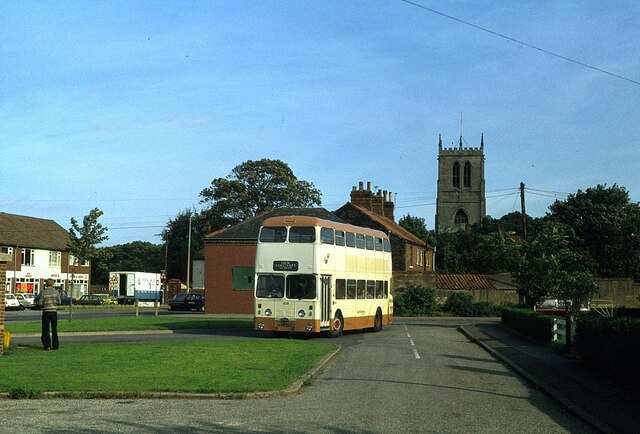
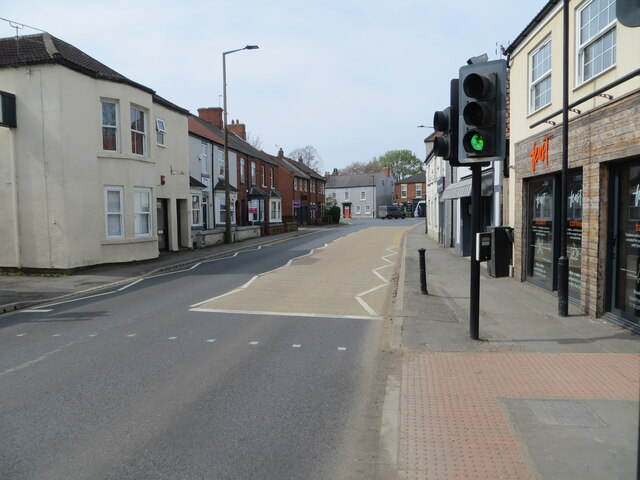
North Ings Images
Images are sourced within 2km of 53.586613/-0.99229101 or Grid Reference SE6610. Thanks to Geograph Open Source API. All images are credited.


North Ings is located at Grid Ref: SE6610 (Lat: 53.586613, Lng: -0.99229101)
Division: West Riding
Unitary Authority: Doncaster
Police Authority: South Yorkshire
What 3 Words
///stunning.class.tonal. Near Hatfield, South Yorkshire
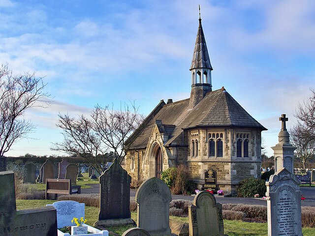
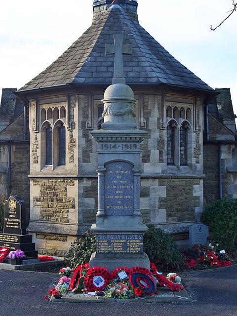
Nearby Locations
Related Wikis

HM Prison Hatfield
HM Prison Hatfield (formerly HMP & YOI Moorland Open) is a Category D men's prison and Young Offenders Institution, located near Hatfield Woodhouse in...

Hatfield, South Yorkshire
Hatfield is a town and civil parish in the City of Doncaster in South Yorkshire, England. It had a population of 17,236 at the 2011 Census. The town is...
Dunsville
Dunsville is a village in the Metropolitan Borough of Doncaster, South Yorkshire, England, in the civil parish of Hatfield. It lies on the A18 road between...

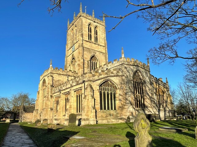
St Lawrence's Church, Hatfield
St Lawrence's Church is the parish church of Hatfield, South Yorkshire, which lies north-east of Doncaster in England. The oldest parts of the church date...
Nearby Amenities
Located within 500m of 53.586613,-0.99229101Have you been to North Ings?
Leave your review of North Ings below (or comments, questions and feedback).