West Field

Downs, Moorland in Yorkshire

England

West Field

View from a railway bridge Looking to Hatfield and Stainforth railway station
View from a railway bridge Credit: Neil Theasby

West Field in Yorkshire is a picturesque area known for its rolling downs and vast expanses of moorland. Located in the northern part of England, this region is characterized by its rugged terrain and stunning natural beauty. The downs of West Field are covered in lush green grasses and dotted with wildflowers, creating a peaceful and serene landscape. The moorland, on the other hand, is a more rugged and untamed area, with heather-covered hills and rocky outcrops.

West Field is home to a variety of wildlife, including birds of prey, deer, and other native species. The area is popular among hikers and outdoor enthusiasts, with a network of walking trails and paths that wind through the countryside. Visitors can enjoy breathtaking views of the surrounding countryside, as well as the opportunity to spot rare and unique wildlife.

Overall, West Field is a stunning natural area that offers visitors a chance to escape the hustle and bustle of everyday life and immerse themselves in the beauty of the Yorkshire countryside. Whether you're looking for a peaceful retreat or an adventurous outdoor experience, West Field has something for everyone.

If you have any feedback on the listing, please let us know in the comments section below.
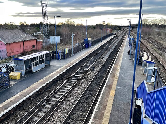
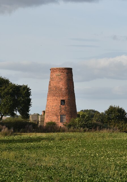
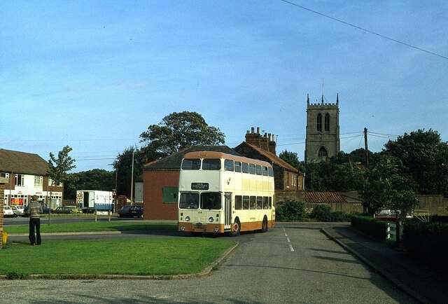
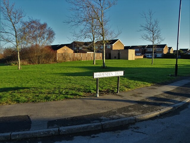
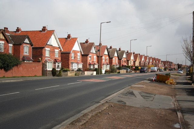
West Field Images

Images are sourced within 2km of 53.584702/-1.0034695 or Grid Reference SE6610. Thanks to Geograph Open Source API. All images are credited.

View from a railway bridge Looking to Hatfield and Stainforth railway station
View from a railway bridge
Looking to Hatfield and Stainforth railway station
Semi-detached houses on Station Road, Dunscroft
Houses on Station Road, Dunscroft Caught in the late afternoon glare of a welcome sunny day in January.
Houses on Station Road, Dunscroft
Caught in the late afternoon glare of a welcome sunny day in January.
View over farmland to Hatfield Main Colliery The mine has been mothballed since 2015.
View over farmland to Hatfield Main Colliery
The mine has been mothballed since 2015.
Queenie's cafe in Staniforth
Hatfield & Stainforth Railway Station To the north of Doncaster with trains to Hull and Grimsby.
Hatfield & Stainforth Railway Station
To the north of Doncaster with trains to Hull and Grimsby.
Platform access ramp at Stainforth & Hatfield railway station Just one part of the extensive access ramps and stairs at this suburban station <a href="https://www.geograph.org.uk/photo/7387432">SE6410 : Access ramps and stairs at Stainforth & Hatfield railway station</a>.
In the background can be seen the pit heads of the former Hatfield Main Colliery which ceased production in 2015.
Platform access ramp at Stainforth & Hatfield railway station
Just one part of the extensive access ramps and stairs at this suburban station SE6410 : Access ramps and stairs at Stainforth & Hatfield railway station. In the background can be seen the pit heads of the former Hatfield Main Colliery which ceased production in 2015.
Access ramps and stairs at Stainforth & Hatfield railway station A lot of metalwork to maintain on this extensive set of steps and ramps to a 2-platform suburban station.
Access ramps and stairs at Stainforth & Hatfield railway station
A lot of metalwork to maintain on this extensive set of steps and ramps to a 2-platform suburban station.
The remains of Hatfied Colliery Seen from the train, these disused sets of winding gear dating from 1922 are all that's visible of a once large colliery. Chris Allen provides a closer picture and some history <a href="https://www.geograph.org.uk/photo/4758773">SE6511 : Hatfield Colliery</a> along with a note that the winding gear is Grade II listed (list entry 1430590). The listing gives the reasons for listing as their rare survival (the colliery was in use until 2015) and forms of construction.
The remains of Hatfied Colliery
Seen from the train, these disused sets of winding gear dating from 1922 are all that's visible of a once large colliery. Chris Allen provides a closer picture and some history SE6511 : Hatfield Colliery along with a note that the winding gear is Grade II listed (list entry 1430590). The listing gives the reasons for listing as their rare survival (the colliery was in use until 2015) and forms of construction.
Doncaster North services Motorway services are not the most exciting of places, even when the weather isn't like this!
Doncaster North services
Motorway services are not the most exciting of places, even when the weather isn't like this!
Lings Windmill, Hatfield, Doncaster Lings Windmill is a 19th century tower mill on the edge of Hatfield village. It has three floors.
It was listed by English Heritage in 1987 at Grade II.
Lings Windmill, Hatfield, Doncaster
Lings Windmill is a 19th century tower mill on the edge of Hatfield village. It has three floors. It was listed by English Heritage in 1987 at Grade II.
Hatfield bus turnround – 1978 Compare with the same location in 2010 <a title="https://www.geograph.org.uk/photo/1709151" href="https://www.geograph.org.uk/photo/1709151">Link</a> .

The bus is South Yorkshire PTE 1209, formerly Doncaster Corporation 209, a Daimler Fleetline new in 1967, operating on the service from Doncaster to Dunscroft which the PTE, as successor to Doncaster Corporation, shared with a number of small independent operators.

This is one of a series of views featuring buses in the 60s, 70s, and 80s. <a title="https://www.geograph.org.uk/search.php?i=137652761" href="https://www.geograph.org.uk/search.php?i=137652761">Link</a>
Hatfield bus turnround – 1978
Compare with the same location in 2010 Link . The bus is South Yorkshire PTE 1209, formerly Doncaster Corporation 209, a Daimler Fleetline new in 1967, operating on the service from Doncaster to Dunscroft which the PTE, as successor to Doncaster Corporation, shared with a number of small independent operators. This is one of a series of views featuring buses in the 60s, 70s, and 80s. Link
Housing to the west of Dunscroft
Harpenden Drive, Dunscroft
Sheep Dip Lane, Dunscroft
"The Broadway" public house, Dunscroft
Dunscroft Community Centre On Lawrence Road
Dunscroft Community Centre
On Lawrence Road
Park Road, Dunscroft
Show me another place!

West Field is located at Grid Ref: SE6610 (Lat: 53.584702, Lng: -1.0034695)

Division: West Riding

Unitary Authority: Doncaster

Police Authority: South Yorkshire

What 3 Words

///caravans.vows.fishery. Near Hatfield, South Yorkshire

Nearby Locations

North Ings West Field

Related Wikis

Hatfield, South Yorkshire

Hatfield is a town and civil parish in the City of Doncaster in South Yorkshire, England. It had a population of 17,236 at the 2011 Census. The town is...

Dunsville

Dunsville is a village in the Metropolitan Borough of Doncaster, South Yorkshire, England, in the civil parish of Hatfield. It lies on the A18 road between...

St Lawrence's Church, Hatfield

St Lawrence's Church is the parish church of Hatfield, South Yorkshire, which lies north-east of Doncaster in England. The oldest parts of the church date...

Hatfield Manor House

Hatfield Manor House is a remodelled 18th century Grade-I listed manor house in the town of Hatfield near Doncaster, South Yorkshire, which is based on...

Nearby Amenities

Located within 500m of 53.584702,-1.0034695
Bus Stop
Cuckoo Lane/Travis St Lawrence Primary School
Alt Name: Cuckoo Lane/Hatfield Manor Middle School
Naptan AltCommonName: Cuckoo Lane/Hatfield Manor Middle School
Naptan AtcoCode: 370045790
Naptan Bearing: N
Naptan BusStopType: CUS
Naptan CommonName: Cuckoo Lane/Hatfield Manor Middle School
Naptan Indicator: 45790
Naptan Landmark: 45790
Naptan PlusbusZoneRef: ROTHCEN
Naptan Street: Cuckoo Lane
Naptan Verified: no
Source: naptan_import
Lat/Long: 53.5819162/-1.0008561
Power: pole
Lat/Long: 53.5825318/-0.9973688
Power: pole
Lat/Long: 53.5828074/-0.999243
Power: pole
Lat/Long: 53.5831152/-1.00116
Power: pole
Lat/Long: 53.5834755/-1.0036467
Power: pole
Lat/Long: 53.5838499/-1.0061316
Power: pole
Lat/Long: 53.5842214/-1.008599
Power: pole
Lat/Long: 53.5845809/-1.0109794
Generator Method: photovoltaic
Generator Output Electricity: yes
Generator Source: solar
Generator Type: solar_photovoltaic_panel
Location: roof
Power: generator
Lat/Long: 53.5807466/-1.005131
Generator Method: photovoltaic
Generator Output Electricity: yes
Generator Source: solar
Generator Type: solar_photovoltaic_panel
Location: roof
Power: generator
Lat/Long: 53.580737/-1.00508
Generator Method: photovoltaic
Generator Output Electricity: yes
Generator Source: solar
Generator Type: solar_photovoltaic_panel
Location: roof
Power: generator
Lat/Long: 53.5807514/-1.0050157
Generator Method: photovoltaic
Generator Output Electricity: yes
Generator Source: solar
Generator Type: solar_photovoltaic_panel
Location: roof
Power: generator
Lat/Long: 53.5807418/-1.0048601
Generator Method: photovoltaic
Generator Output Electricity: yes
Generator Source: solar
Generator Type: solar_photovoltaic_panel
Location: roof
Power: generator
Lat/Long: 53.5807115/-1.0047126
Generator Method: photovoltaic
Generator Output Electricity: yes
Generator Source: solar
Generator Type: solar_photovoltaic_panel
Location: roof
Power: generator
Lat/Long: 53.580659/-1.0045275
Generator Method: photovoltaic
Generator Output Electricity: yes
Generator Source: solar
Generator Type: solar_photovoltaic_panel
Location: roof
Power: generator
Lat/Long: 53.5805794/-1.0015181
Generator Method: photovoltaic
Generator Output Electricity: yes
Generator Source: solar
Generator Type: solar_photovoltaic_panel
Location: roof
Power: generator
Lat/Long: 53.5803947/-1.0037738
Generator Method: photovoltaic
Generator Output Electricity: yes
Generator Source: solar
Generator Type: solar_photovoltaic_panel
Location: roof
Power: generator
Lat/Long: 53.580401/-1.0036907
Generator Method: photovoltaic
Generator Output Electricity: yes
Generator Source: solar
Generator Type: solar_photovoltaic_panel
Location: roof
Power: generator
Lat/Long: 53.5807115/-1.0015529
Generator Method: photovoltaic
Generator Output Electricity: yes
Generator Source: solar
Generator Type: solar_photovoltaic_panel
Location: roof
Power: generator
Lat/Long: 53.5806893/-1.0032803
Generator Method: photovoltaic
Generator Output Electricity: yes
Generator Source: solar
Generator Type: solar_photovoltaic_panel
Location: roof
Power: generator
Lat/Long: 53.5806861/-1.0031918
Generator Method: photovoltaic
Generator Output Electricity: yes
Generator Source: solar
Generator Type: solar_photovoltaic_panel
Location: roof
Power: generator
Lat/Long: 53.5809424/-1.0037094
Generator Method: photovoltaic
Generator Output Electricity: yes
Generator Source: solar
Generator Type: solar_photovoltaic_panel
Location: roof
Power: generator
Lat/Long: 53.5816702/-1.0017085
Generator Method: photovoltaic
Generator Output Electricity: yes
Generator Source: solar
Generator Type: solar_photovoltaic_panel
Location: roof
Power: generator
Lat/Long: 53.5817784/-1.0026687
Generator Method: photovoltaic
Generator Output Electricity: yes
Generator Source: solar
Generator Type: solar_photovoltaic_panel
Location: roof
Power: generator
Lat/Long: 53.5818405/-1.0031918
Generator Method: photovoltaic
Generator Output Electricity: yes
Generator Source: solar
Generator Type: solar_photovoltaic_panel
Location: roof
Power: generator
Lat/Long: 53.5823278/-1.0057506
Generator Method: photovoltaic
Generator Output Electricity: yes
Generator Source: solar
Generator Type: solar_photovoltaic_panel
Location: roof
Power: generator
Lat/Long: 53.5823135/-1.0059598
Generator Method: photovoltaic
Generator Output Electricity: yes
Generator Source: solar
Generator Type: solar_photovoltaic_panel
Location: roof
Power: generator
Lat/Long: 53.582331/-1.0060456
Generator Method: photovoltaic
Generator Output Electricity: yes
Generator Source: solar
Generator Type: solar_photovoltaic_panel
Location: roof
Power: generator
Lat/Long: 53.582495/-1.007089
Generator Method: photovoltaic
Generator Output Electricity: yes
Generator Source: solar
Generator Type: solar_photovoltaic_panel
Location: roof
Power: generator
Lat/Long: 53.5825061/-1.0071802
Generator Method: photovoltaic
Generator Output Electricity: yes
Generator Source: solar
Generator Type: solar_photovoltaic_panel
Location: roof
Power: generator
Lat/Long: 53.5824807/-1.0079983
Generator Method: photovoltaic
Generator Output Electricity: yes
Generator Source: solar
Generator Type: solar_photovoltaic_panel
Location: roof
Power: generator
Lat/Long: 53.5812227/-1.005756
Generator Method: photovoltaic
Generator Output Electricity: yes
Generator Source: solar
Generator Type: solar_photovoltaic_panel
Location: roof
Power: generator
Lat/Long: 53.5810651/-1.0063782
Generator Method: photovoltaic
Generator Output Electricity: yes
Generator Source: solar
Generator Type: solar_photovoltaic_panel
Location: roof
Power: generator
Lat/Long: 53.5817689/-1.0059813
Generator Method: photovoltaic
Generator Output Electricity: yes
Generator Source: solar
Generator Type: solar_photovoltaic_panel
Location: roof
Power: generator
Lat/Long: 53.581874/-1.0063434
The data included in this document is from www.openstreetmap.org. The data is made available under ODbL.

Have you been to West Field?

Leave your review of West Field below (or comments, questions and feedback).