Drayton Down
Downs, Moorland in Hampshire East Hampshire
England
Drayton Down

Drayton Down is a picturesque area located in Hampshire, England. Known for its stunning natural beauty, the Down is a combination of downs and moorland, offering a diverse landscape for visitors to explore.
The Down stretches over several miles, encompassing rolling hills, open grasslands, and patches of dense heathland. The area is home to a variety of wildlife, including rare species such as Dartford warblers and silver-studded blue butterflies. The landscape is dotted with ancient burial mounds, evidence of its rich history dating back thousands of years.
Walking and hiking trails crisscross the Down, providing visitors with the opportunity to immerse themselves in the tranquil surroundings. The paths offer breathtaking views of the surrounding countryside, with the downs providing a perfect vantage point to take in the sweeping vistas.
Drayton Down is also a popular spot for outdoor activities such as birdwatching, horseback riding, and nature photography. The diverse range of habitats makes it an excellent location for spotting a wide variety of bird species, and the open grasslands provide ample space for horse riding enthusiasts.
The Down is well-maintained, with clear signposting and designated picnic areas for visitors to relax and enjoy a meal amidst the beautiful scenery. It is also easily accessible, with nearby parking and public transportation options available.
In conclusion, Drayton Down in Hampshire offers a stunning landscape of downs and moorland, filled with rich biodiversity and historical significance. It is a haven for outdoor enthusiasts and nature lovers, providing a peaceful escape from the hustle and bustle of everyday life.
If you have any feedback on the listing, please let us know in the comments section below.
Drayton Down Images
Images are sourced within 2km of 51.000824/-1.0486701 or Grid Reference SU6622. Thanks to Geograph Open Source API. All images are credited.


Drayton Down is located at Grid Ref: SU6622 (Lat: 51.000824, Lng: -1.0486701)
Administrative County: Hampshire
District: East Hampshire
Police Authority: Hampshire
What 3 Words
///influencing.kick.slanting. Near Petersfield, Hampshire
Nearby Locations
Related Wikis

East Hampshire AONB
East Hampshire Area of Outstanding Natural Beauty (AONB) in England was designated in 1962. The designation was revoked in March 2010, together with the...

Henwood Down
Henwood Down is one of the highest points in the county of Hampshire, England, and in the South Downs, reaching a height of 201 metres (659 ft) above sea...
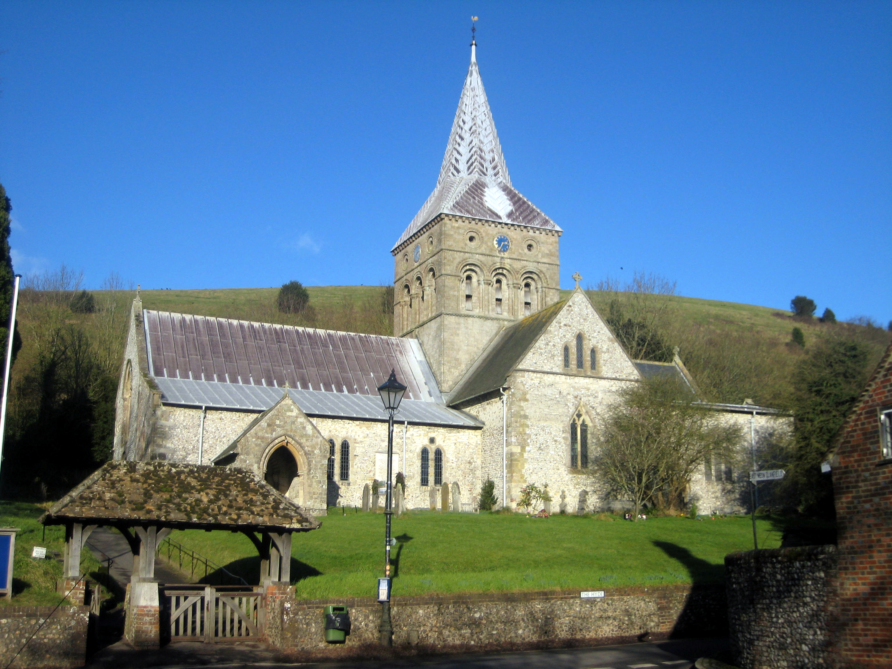
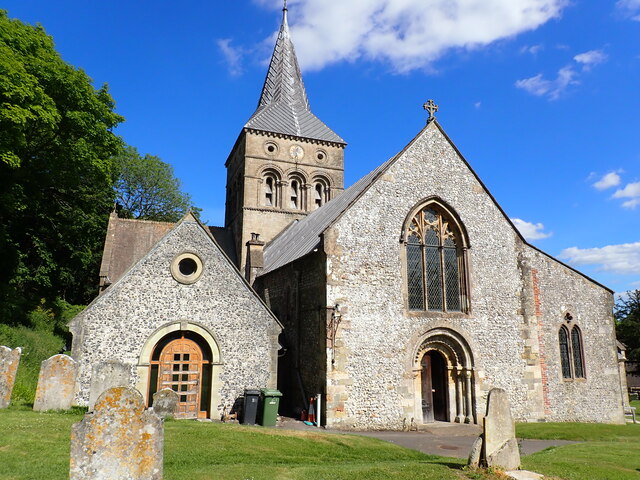
All Saints Church, East Meon
All Saints' Church is an Anglican parish church in the village of East Meon, Hampshire, England. It is a Grade I listed building and the oldest building...
East Meon
East Meon is a village and civil parish in the East Hampshire district of Hampshire, England. It is 4.4 miles (7.1 km) west of Petersfield. The village...

Westbury House
Westbury House is a country house south of West Meon Road between East Meon and West Meon in Hampshire, England. The house was built in the Palladian style...

Chappetts Copse
Chappetts Copse is a 12-hectare (30-acre) nature reserve east of West Meon in Hampshire. It is owned and managed by the Hampshire and Isle of Wight Wildlife...

Coombe, Hampshire
Coombe is a village in Hampshire, England. == Location == Coombe is located at grid reference SU662205 == External links == Media related to Coombe, Hampshire...
Pidham Hill
Pidham Hill is a hill in the county of Hampshire, England. The summit elevation is 699 feet (213 m) AMSL. Pidham Hill is about 2 kilometres east-northeast...
Nearby Amenities
Located within 500m of 51.000824,-1.0486701Have you been to Drayton Down?
Leave your review of Drayton Down below (or comments, questions and feedback).