Baldon Row

Settlement in Oxfordshire South Oxfordshire

England

Baldon Row

Hilltop buildings, Nuneham Courtney On the A4074 at the north end of the village.
Hilltop buildings, Nuneham Courtney Credit: Robin Webster

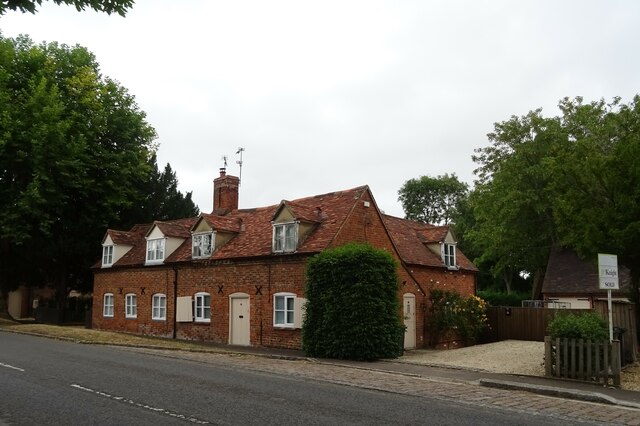
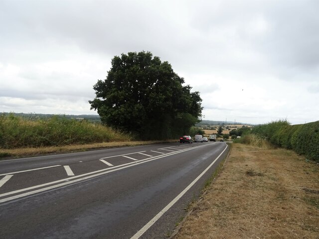
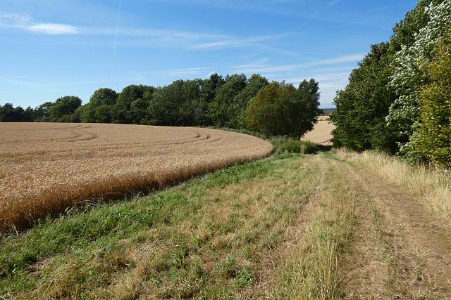
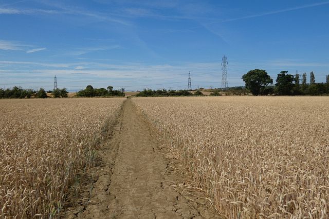
Baldon Row is a small village located in the county of Oxfordshire, England. Situated approximately 6 miles southeast of the city of Oxford, it falls within the district of South Oxfordshire. The village is nestled within the picturesque countryside, surrounded by green fields and charming rural landscapes.

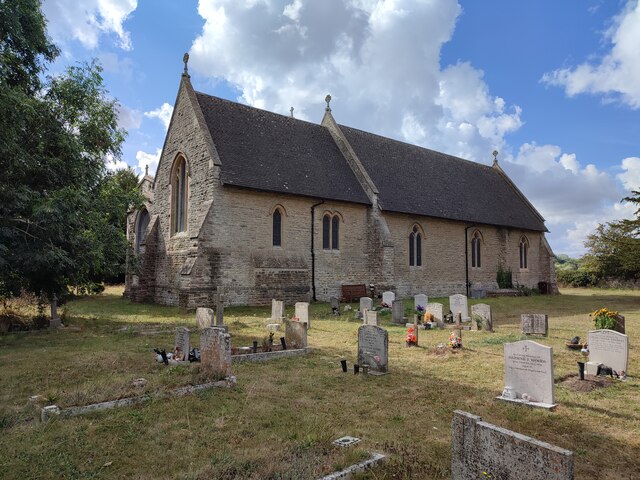
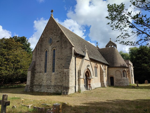
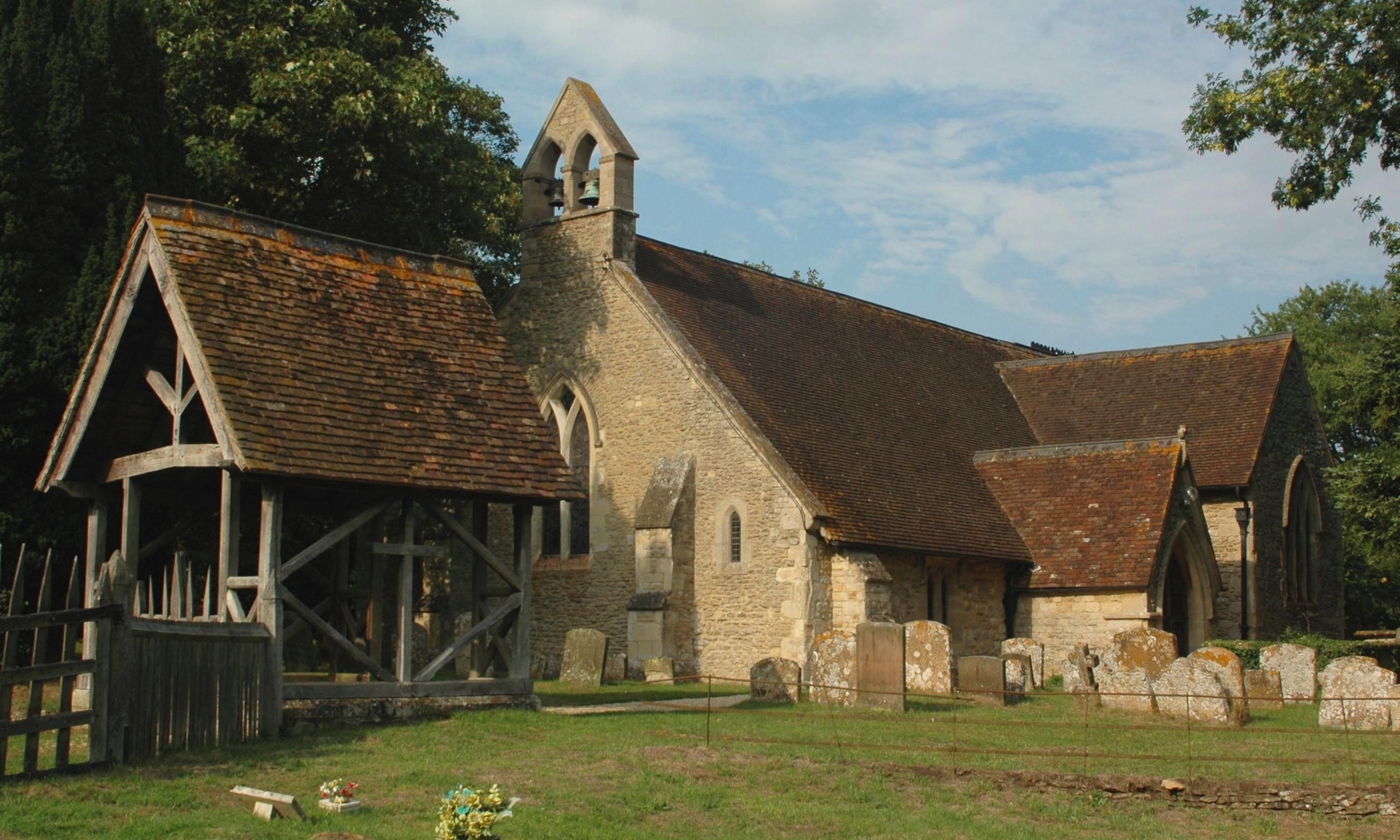
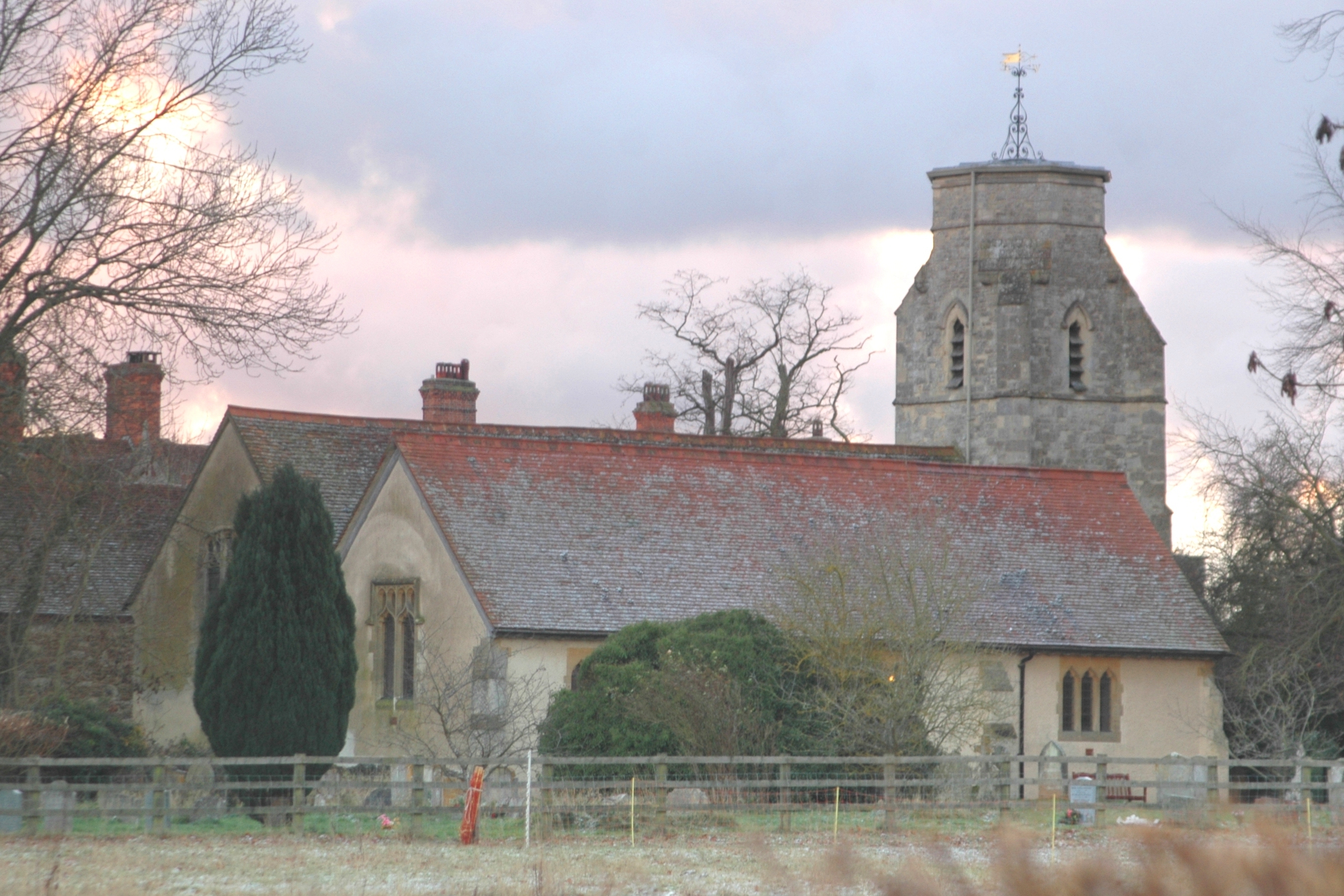
The history of Baldon Row can be traced back several centuries, with evidence of settlements and habitation dating back to the medieval period. Today, the village retains its traditional character, with a mixture of old stone cottages and more modern houses. The community is relatively small, with a population of around 200 residents.

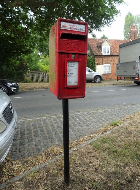
Despite its size, Baldon Row offers a range of amenities for its residents. The village features a local pub, providing a social hub for villagers and visitors alike. Additionally, there is a village hall that hosts various events and activities throughout the year, fostering a sense of community spirit.

The surrounding area offers plenty of opportunities for outdoor activities, with numerous walking and cycling routes available nearby. Baldon Row is also within easy reach of several nature reserves and parks, providing opportunities for wildlife spotting and nature exploration.

Overall, Baldon Row offers a peaceful and idyllic setting for those seeking a rural lifestyle, while still being within reach of the amenities and cultural attractions of Oxford city.

If you have any feedback on the listing, please let us know in the comments section below.
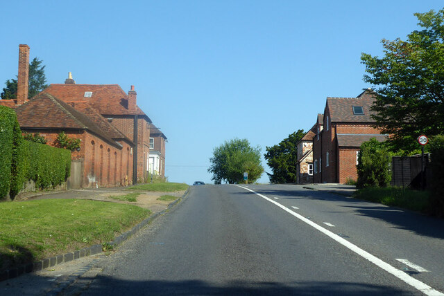
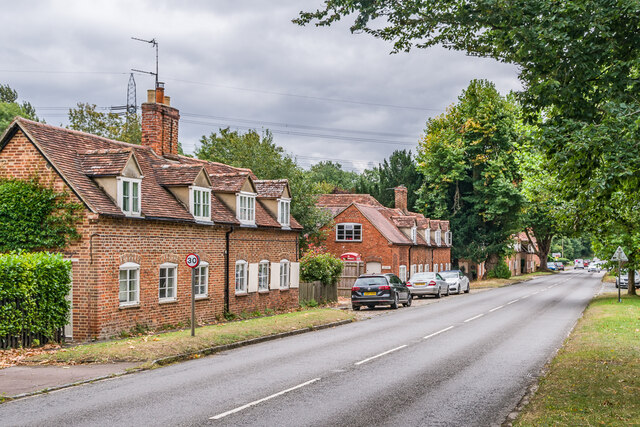
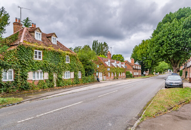
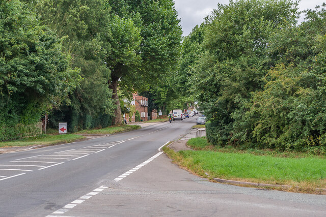
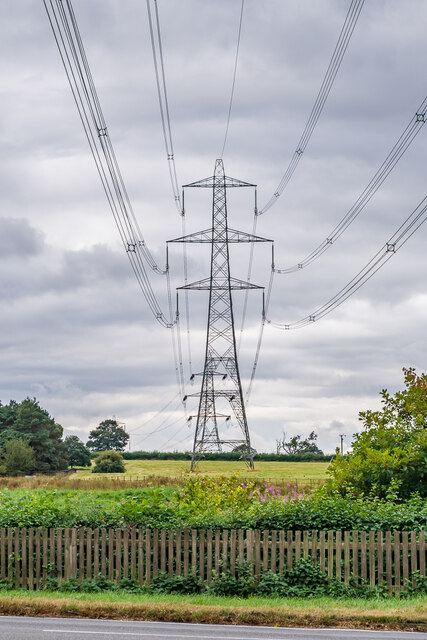
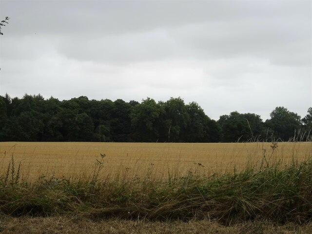
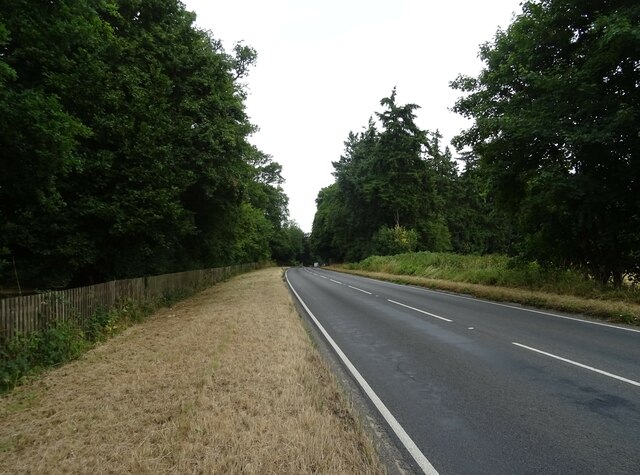
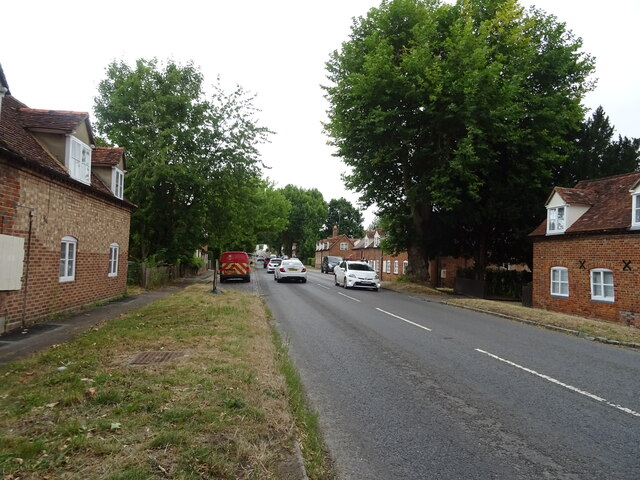
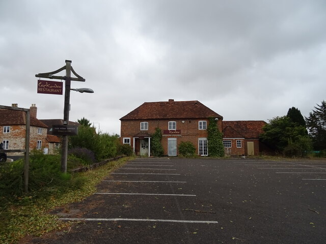
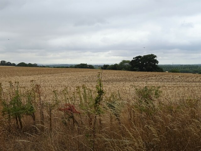
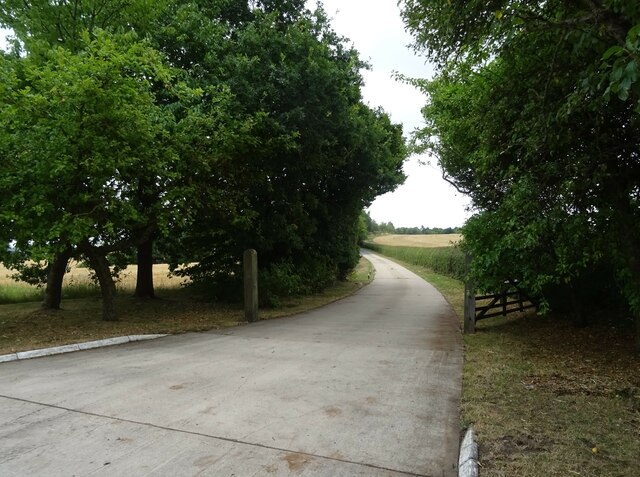
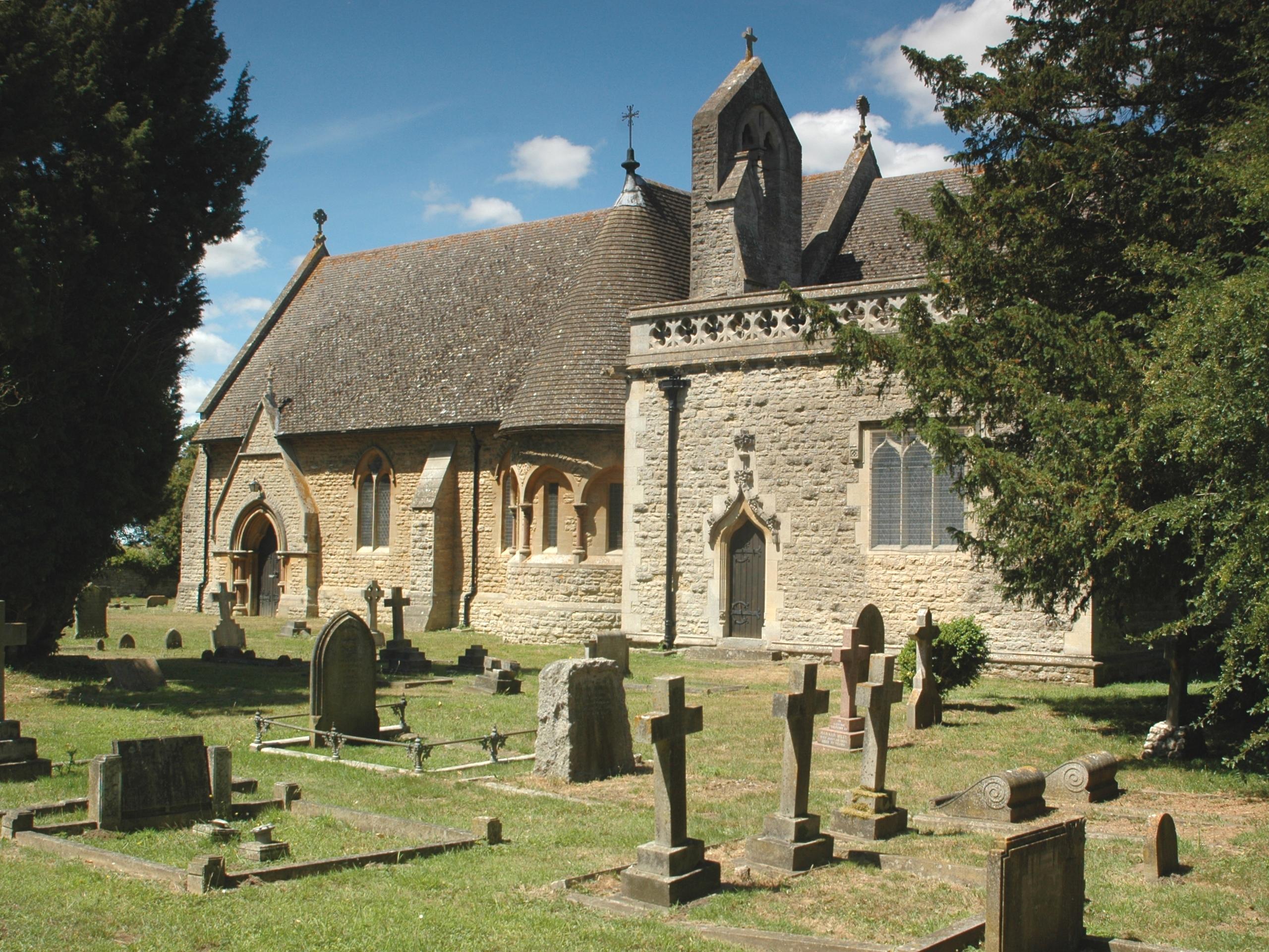
Baldon Row Images

Images are sourced within 2km of 51.697293/-1.182173 or Grid Reference SP5600. Thanks to Geograph Open Source API. All images are credited.

Hilltop buildings, Nuneham Courtney On the A4074 at the north end of the village.
Hilltop buildings, Nuneham Courtney
On the A4074 at the north end of the village.
Nuneham Courtenay Mid 18th Century cottages on the A4074 through Nuneham Courtenay, built as part of a replacement village by the 1st Earl Harcourt when he built Nuneham House in around 1760, demolishing the old village to make way for the house and landscaped grounds.  The two buildings here, nos 29 & 30 (nearest) and nos 30A & 31 (beyond, with no 30A being the former post office) are both grade II listed - see <span class="nowrap"><a title="https://historicengland.org.uk/listing/the-list/list-entry/1368712?section=official-list-entry" rel="nofollow ugc noopener" href="https://historicengland.org.uk/listing/the-list/list-entry/1368712?section=official-list-entry">Link</a><img style="margin-left:2px;" alt="External link" title="External link - shift click to open in new window" src="https://s1.geograph.org.uk/img/external.png" width="10" height="10"/></span> and <span class="nowrap"><a title="https://historicengland.org.uk/listing/the-list/list-entry/1048036?section=official-list-entry" rel="nofollow ugc noopener" href="https://historicengland.org.uk/listing/the-list/list-entry/1048036?section=official-list-entry">Link</a><img style="margin-left:2px;" alt="External link" title="External link - shift click to open in new window" src="https://s1.geograph.org.uk/img/external.png" width="10" height="10"/></span> respectively - as are most of the buildings in the village.
Nuneham Courtenay
Mid 18th Century cottages on the A4074 through Nuneham Courtenay, built as part of a replacement village by the 1st Earl Harcourt when he built Nuneham House in around 1760, demolishing the old village to make way for the house and landscaped grounds. The two buildings here, nos 29 & 30 (nearest) and nos 30A & 31 (beyond, with no 30A being the former post office) are both grade II listed - see LinkExternal link and LinkExternal link respectively - as are most of the buildings in the village.
Nuneham Courtenay Mid 18th Century cottages on the A4074 through Nuneham Courtenay, built as part of a replacement village by the 1st Earl Harcourt when he built Nuneham House in around 1760, demolishing the old village to make way for the house and landscaped grounds.  The three buildings here, nos 1 & 2 (nearest), then nos 3 & 4 and then nos 5 & 6 (beyond) are all grade II listed - see <span class="nowrap"><a title="https://historicengland.org.uk/listing/the-list/list-entry/1048044?section=official-list-entry," rel="nofollow ugc noopener" href="https://historicengland.org.uk/listing/the-list/list-entry/1048044?section=official-list-entry,">Link</a><img style="margin-left:2px;" alt="External link" title="External link - shift click to open in new window" src="https://s1.geograph.org.uk/img/external.png" width="10" height="10"/></span> <span class="nowrap"><a title="https://historicengland.org.uk/listing/the-list/list-entry/1193400?section=official-list-entry" rel="nofollow ugc noopener" href="https://historicengland.org.uk/listing/the-list/list-entry/1193400?section=official-list-entry">Link</a><img style="margin-left:2px;" alt="External link" title="External link - shift click to open in new window" src="https://s1.geograph.org.uk/img/external.png" width="10" height="10"/></span> and <span class="nowrap"><a title="https://historicengland.org.uk/listing/the-list/list-entry/1048043?section=official-list-entry" rel="nofollow ugc noopener" href="https://historicengland.org.uk/listing/the-list/list-entry/1048043?section=official-list-entry">Link</a><img style="margin-left:2px;" alt="External link" title="External link - shift click to open in new window" src="https://s1.geograph.org.uk/img/external.png" width="10" height="10"/></span> respectively - as are most of the buildings in the village.
Nuneham Courtenay
Mid 18th Century cottages on the A4074 through Nuneham Courtenay, built as part of a replacement village by the 1st Earl Harcourt when he built Nuneham House in around 1760, demolishing the old village to make way for the house and landscaped grounds. The three buildings here, nos 1 & 2 (nearest), then nos 3 & 4 and then nos 5 & 6 (beyond) are all grade II listed - see LinkExternal link LinkExternal link and LinkExternal link respectively - as are most of the buildings in the village.
Nuneham Courtenay Road junction onto the A4074 at the southern end of Nuneham Courtenay.
Nuneham Courtenay
Road junction onto the A4074 at the southern end of Nuneham Courtenay.
Pylons Pylons carrying transmission lines south of Nuneham Courtenay.
Pylons
Pylons carrying transmission lines south of Nuneham Courtenay.
Stubble field and woodland, Marsh Baldon Off the A4074.
Stubble field and woodland, Marsh Baldon
Off the A4074.
A4074, Marsh Baldon Towards Oxford.
A4074, Marsh Baldon
Towards Oxford.
Cottages, Nuneham, Courtenay On the A4074.
Cottages, Nuneham, Courtenay
On the A4074.
A4074, Nuneham, Courtenay Towards Oxford.
A4074, Nuneham, Courtenay
Towards Oxford.
Former Cockadoo Restaurant, Nuneham, Courtenay Was once the Harcourt Arms public house.
Former Cockadoo Restaurant, Nuneham, Courtenay
Was once the Harcourt Arms public house.
Stubble field off the A4074 near Nuneham, Courtenay
Road to Ninveh Farm Off the A4074.
Road to Ninveh Farm
Off the A4074.
A4074 towards Oxford
Elizabeth II postbox on the A4074, Nuneham Courtenay Postbox No. OX44 357.
Elizabeth II postbox on the A4074, Nuneham Courtenay
Postbox No. OX44 357.
All Saints, Nuneham Courtenay
Farmland, Toot Baldon The footpath drops briefly down a hill on its way towards Blackbird Leys.
Farmland, Toot Baldon
The footpath drops briefly down a hill on its way towards Blackbird Leys.
Farmland, Toot Baldon The footpath crosses a field of wheat on its way towards Blackbird Leys.
Farmland, Toot Baldon
The footpath crosses a field of wheat on its way towards Blackbird Leys.
Show me another place!

Baldon Row is located at Grid Ref: SP5600 (Lat: 51.697293, Lng: -1.182173)

Administrative County: Oxfordshire

District: South Oxfordshire

Police Authority: Thames Valley

What 3 Words

///slouched.drilling.caves. Near Garsington, Oxfordshire

Related Wikis

Toot Baldon

Toot Baldon is a village and civil parish about 5 miles (8 km) southeast of Oxford in Oxfordshire. Since 2012 it has been part of the Baldons joint parish...

Marsh Baldon

Marsh Baldon is a village and civil parish about 5 miles (8 km) southeast of Oxford in Oxfordshire. Since 2012 it has been part of the Baldons joint parish...

Baldon Row

Baldon Row is a hamlet in Toot Baldon civil parish, about 5 miles (8.0 km) southeast of Oxford in Oxfordshire. == External links == Media related to Baldon...

Baldons

Baldons is a joint parish council area covering the civil parishes of Toot Baldon and Marsh Baldon, in the South Oxfordshire district about 5 miles (8...

Nuneham Courtenay

Nuneham Courtenay is a village and civil parish about 5 miles (8 km) SSE of Oxford. It occupies several miles close to the east bank of the River Thames...

Harcourt Arboretum

Harcourt Arboretum is an arboretum owned and run by the University of Oxford. It is a satellite of the university's botanic garden in the city of Oxford...
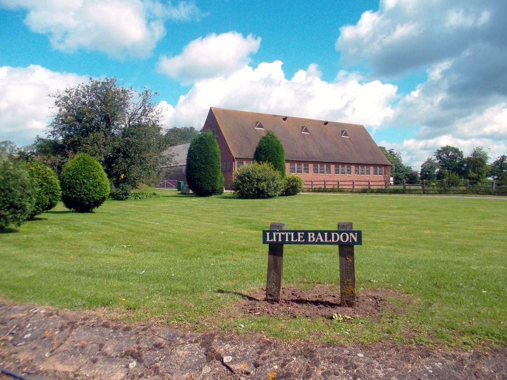
Little Baldon

Little Baldon is a hamlet in the Marsh Baldon civil parish, about 5 miles (8 km) southeast of Oxford in Oxfordshire, south of Marsh Baldon and west of...

Little Baldon air crash

The Little Baldon air crash occurred on 6 July 1965 when a Handley Page Hastings C1A transport aircraft operated by No. 36 Squadron Royal Air Force, registration...

Nearby Amenities

Located within 500m of 51.697293,-1.182173
Post Box
Post Box Design: hovis
Post Box Mounting: wall
Post Box Type: lamp
Ref: OX44 389
Royal Cypher: GR
Royal Cypher Wikidata: Q33102273
Lat/Long: 51.6971521/-1.1813787
Barrier: kissing_gate
Lat/Long: 51.6972372/-1.1813958
Barrier: kissing_gate
Lat/Long: 51.6944974/-1.1832584
Barrier: kissing_gate
Lat/Long: 51.6973064/-1.1889318
Barrier: stile
Lat/Long: 51.6961838/-1.1887601
Wilmots
Naptan AtcoCode: 340001482OPP
Naptan Bearing: SW
Naptan BusStopType: CUS
Naptan CommonName: Wilmots
Naptan Indicator: Opposite
Naptan Landmark: Wilmots
Naptan NaptanCode: oxfagpmd
Naptan Street: Baldon Lane
Naptan Verified: no
Source: naptan_import
Lat/Long: 51.7005982/-1.1845705
Wilmots
Naptan AtcoCode: 340001482OUT
Naptan Bearing: NE
Naptan BusStopType: CUS
Naptan CommonName: Wilmots
Naptan Indicator: Corner
Naptan Landmark: Wilmots
Naptan NaptanCode: oxfagpma
Naptan Street: Baldon Lane
Naptan Verified: no
Source: naptan_import
Lat/Long: 51.7005995/-1.1847586
Barrier: kissing_gate
Foot: yes
Lat/Long: 51.6978055/-1.1803148
Baldon Row
Place: hamlet
Source Name: OS_OpenData_StreetView
Wikidata: Q4850454
Wikipedia: en:Baldon Row
Lat/Long: 51.6972378/-1.1827277
Power: pole
Lat/Long: 51.7014689/-1.1816365
Power: pole
Lat/Long: 51.7009535/-1.1820763
Power: pole
Lat/Long: 51.7005147/-1.1824465
Power: pole
Lat/Long: 51.6998996/-1.182999
Power: pole
Lat/Long: 51.6993543/-1.1834335
Power: pole
Lat/Long: 51.6988523/-1.1839163
Power: pole
Lat/Long: 51.6983203/-1.1844045
Direction: 180
Generator Method: photovoltaic
Generator Output Electricity: yes
Generator Solar Modules: 12
Generator Source: solar
Generator Type: solar_photovoltaic_panel
Location: roof
Power: generator
Lat/Long: 51.6971323/-1.1812891
Direction: 160
Generator Method: photovoltaic
Generator Output Electricity: yes
Generator Solar Modules: 12
Generator Source: solar
Generator Type: solar_photovoltaic_panel
Location: roof
Power: generator
Lat/Long: 51.69975/-1.1851829
Power: pole
Lat/Long: 51.6945151/-1.1877073
Power: pole
Lat/Long: 51.6950227/-1.1872456
Power: pole
Lat/Long: 51.6955737/-1.1867708
Power: pole
Lat/Long: 51.696167/-1.1863954
Power: pole
Lat/Long: 51.6966676/-1.1858236
Power: pole
Lat/Long: 51.6971851/-1.1853856
Power: pole
Lat/Long: 51.6953563/-1.1857301
Power: pole
Lat/Long: 51.6951662/-1.1848796
Power: pole
Lat/Long: 51.6979154/-1.1837061
Power: pole
Lat/Long: 51.6975397/-1.1830444
Power: pole
Lat/Long: 51.6971038/-1.1823513
Direction: 90
Generator Method: photovoltaic
Generator Output Electricity: yes
Generator Solar Modules: 16
Generator Source: solar
Generator Type: solar_photovoltaic_panel
Location: roof
Power: generator
Lat/Long: 51.6970545/-1.1835093
Direction: 270
Generator Method: photovoltaic
Generator Output Electricity: yes
Generator Solar Modules: 16
Generator Source: solar
Generator Type: solar_photovoltaic_panel
Location: roof
Power: generator
Lat/Long: 51.6970538/-1.183586
The data included in this document is from www.openstreetmap.org. The data is made available under ODbL.

Have you been to Baldon Row?

Leave your review of Baldon Row below (or comments, questions and feedback).