Toot Baldon

Settlement in Oxfordshire South Oxfordshire

England

Toot Baldon

Farmland, Toot Baldon The footpath drops briefly down a hill on its way towards Blackbird Leys.
Farmland, Toot Baldon Credit: Andrew Smith

Toot Baldon is a charming village located in the county of Oxfordshire, England. Situated approximately 6 miles southeast of the historic city of Oxford, Toot Baldon is nestled amidst the scenic countryside, offering a peaceful and idyllic setting for residents and visitors alike.

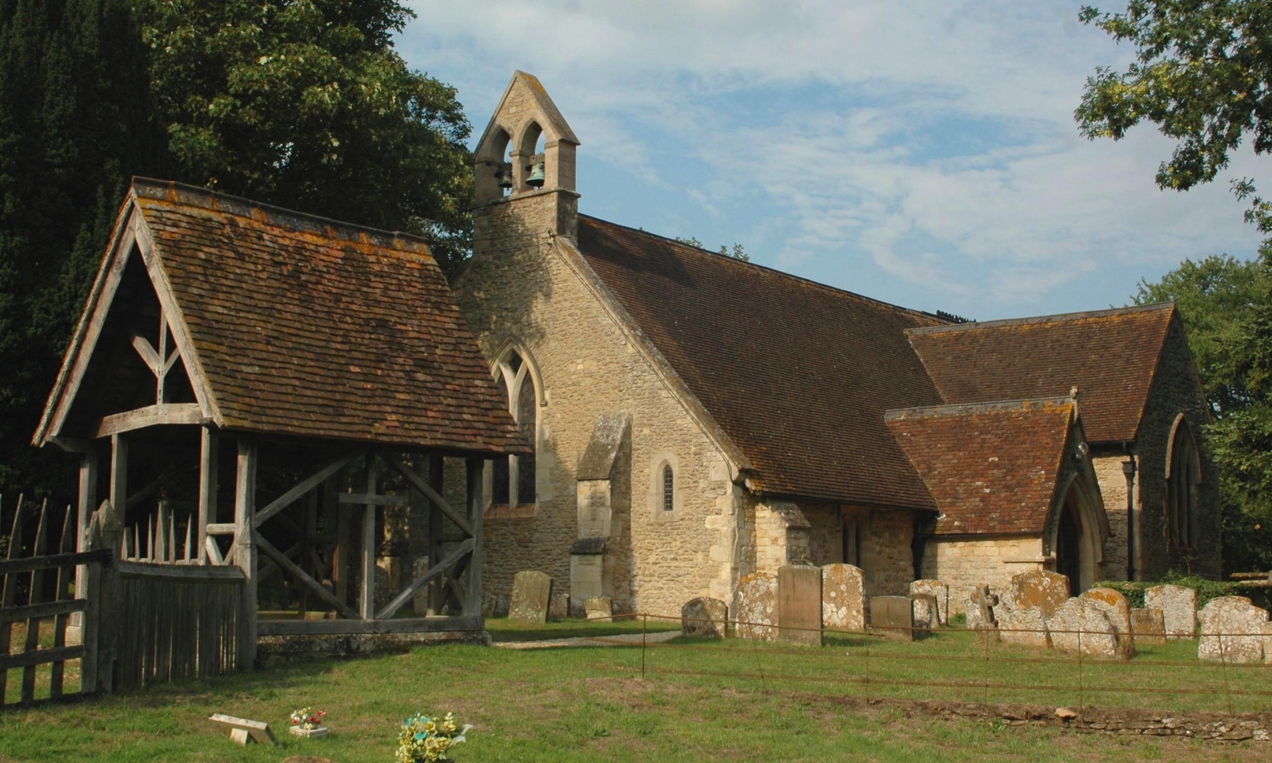
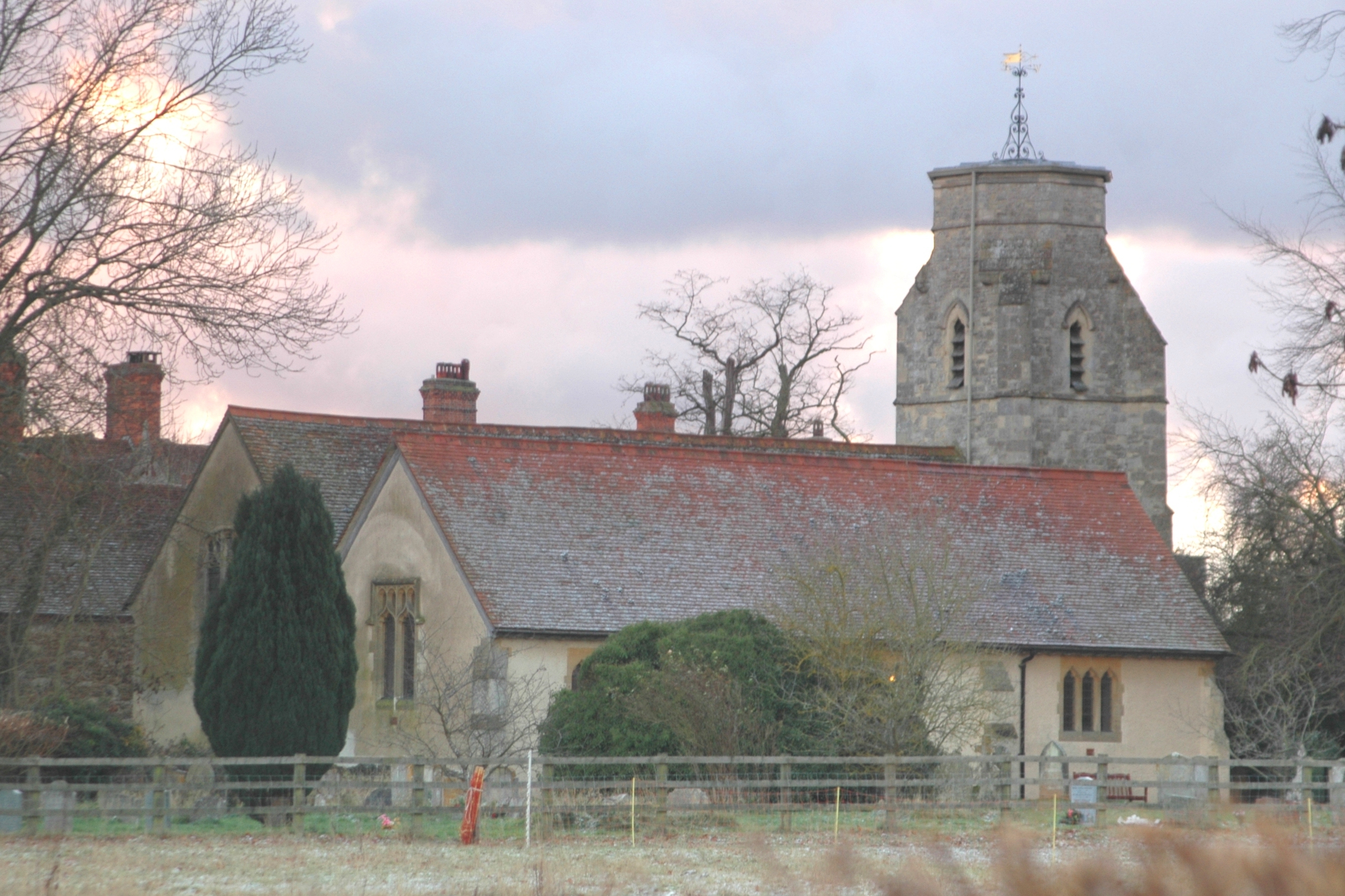
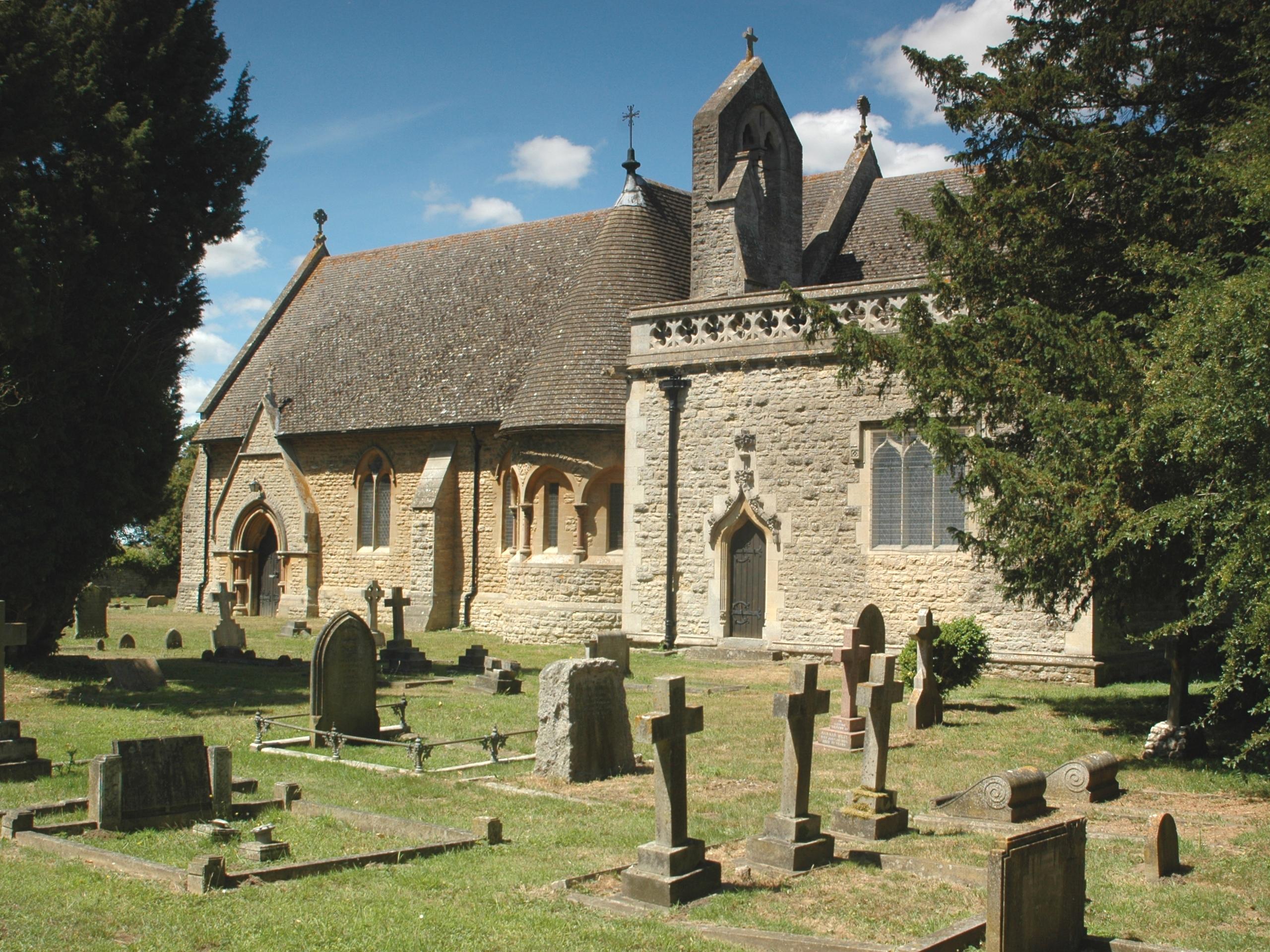
The village is known for its picturesque beauty, with traditional thatched-roof cottages, quaint country lanes, and stunning views of the surrounding rolling hills. The local church, St. Lawrence's, is a notable landmark, dating back to the 12th century and featuring a beautiful Norman doorway.

Toot Baldon is relatively small in size, with a close-knit community that fosters a strong sense of community spirit. The village has a well-regarded primary school, providing education for local children. Additionally, there is a village hall that serves as a hub for various community activities and events.

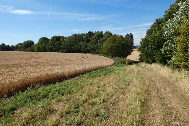
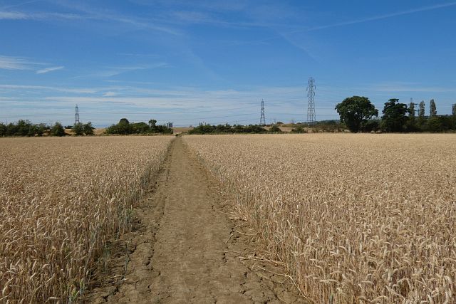
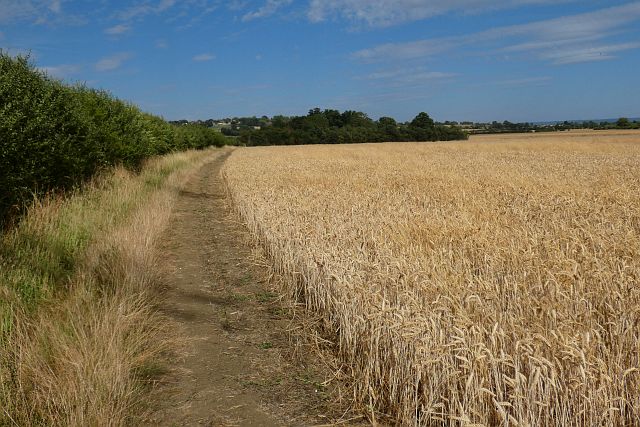
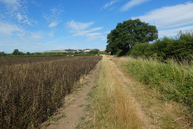
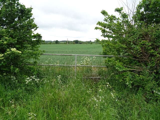
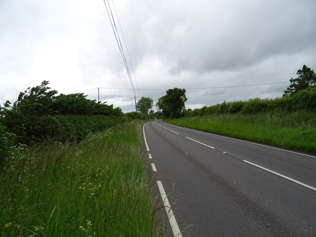
Nature enthusiasts will find plenty to explore in the area surrounding Toot Baldon. The village is surrounded by picturesque walking paths and bridleways, offering opportunities for leisurely strolls and bike rides through the countryside. The nearby Baldon Marsh nature reserve is a haven for wildlife, with an abundance of bird species and native flora.

While Toot Baldon may be a peaceful rural village, it benefits from its close proximity to Oxford, allowing residents easy access to the city's amenities and cultural offerings. With its blend of natural beauty, community spirit, and convenient location, Toot Baldon is a truly delightful place to live or visit in Oxfordshire.

If you have any feedback on the listing, please let us know in the comments section below.

Toot Baldon Images

Images are sourced within 2km of 51.702273/-1.180694 or Grid Reference SP5600. Thanks to Geograph Open Source API. All images are credited.

Farmland, Toot Baldon The footpath drops briefly down a hill on its way towards Blackbird Leys.
Farmland, Toot Baldon
The footpath drops briefly down a hill on its way towards Blackbird Leys.
Farmland, Toot Baldon The footpath crosses a field of wheat on its way towards Blackbird Leys.
Farmland, Toot Baldon
The footpath crosses a field of wheat on its way towards Blackbird Leys.
Farmland, Garsington A footpath follows the edge of this field of wheat.
Farmland, Garsington
A footpath follows the edge of this field of wheat.
Farmland, Garsington A bridleway follows the edge of this field of beans on its way towards Great Leys.
Farmland, Garsington
A bridleway follows the edge of this field of beans on its way towards Great Leys.
Farmland, Garsington Harvesting had just commenced in this field of wheat to the south of the village.
Farmland, Garsington
Harvesting had just commenced in this field of wheat to the south of the village.
Farmland, Garsington Looking towards the church over a harvested field of oil-seed rape.
Farmland, Garsington
Looking towards the church over a harvested field of oil-seed rape.
Farmland, Garsington Looking down from the footpath to the west of Southend over oil-seed rape stubble.
Farmland, Garsington
Looking down from the footpath to the west of Southend over oil-seed rape stubble.
Parched field off the B480
Road to Lower Farm Off the B480.
Road to Lower Farm
Off the B480.
Bus stop on Lower Road (B480) Towards Oxford.
Bus stop on Lower Road (B480)
Towards Oxford.
Oilseed rape crop and hedgerow Off Watlington Road.
Oilseed rape crop and hedgerow
Off Watlington Road.
Oilseed rape crop off Watlington Road
Watlington Road (B480) Towards Oxford.
Watlington Road (B480)
Towards Oxford.
Fingerpost and footpath on the B480
Oilseed rape crop off Watlington Road
Watlington Road (B480) Towards Oxford.
Watlington Road (B480)
Towards Oxford.
Field entrance off Watlington Road (B480)
Watlington Road (B480) Towards Oxford.
Watlington Road (B480)
Towards Oxford.
Show me another place!

Toot Baldon is located at Grid Ref: SP5600 (Lat: 51.702273, Lng: -1.180694)

Administrative County: Oxfordshire

District: South Oxfordshire

Police Authority: Thames Valley

What 3 Words

///utter.plausible.suffer. Near Garsington, Oxfordshire

Related Wikis

Toot Baldon

Toot Baldon is a village and civil parish about 5 miles (8 km) southeast of Oxford in Oxfordshire. Since 2012 it has been part of the Baldons joint parish...

Marsh Baldon

Marsh Baldon is a village and civil parish about 5 miles (8 km) southeast of Oxford in Oxfordshire. Since 2012 it has been part of the Baldons joint parish...

Baldon Row

Baldon Row is a hamlet in Toot Baldon civil parish, about 5 miles (8.0 km) southeast of Oxford in Oxfordshire. == External links == Media related to Baldon...

Baldons

Baldons is a joint parish council area covering the civil parishes of Toot Baldon and Marsh Baldon, in the South Oxfordshire district about 5 miles (8...

Garsington Manor

Garsington Manor, in the village of Garsington, near Oxford, England, is a country house, dating from the 17th century. Its fame derives principally from...

Nuneham Courtenay

Nuneham Courtenay is a village and civil parish about 5 miles (8 km) SSE of Oxford. It occupies several miles close to the east bank of the River Thames...

Garsington

Garsington is a village and civil parish about 8 kilometres (5 mi) southeast of Oxford in Oxfordshire. "A History of the County of Oxfordshire" provides...
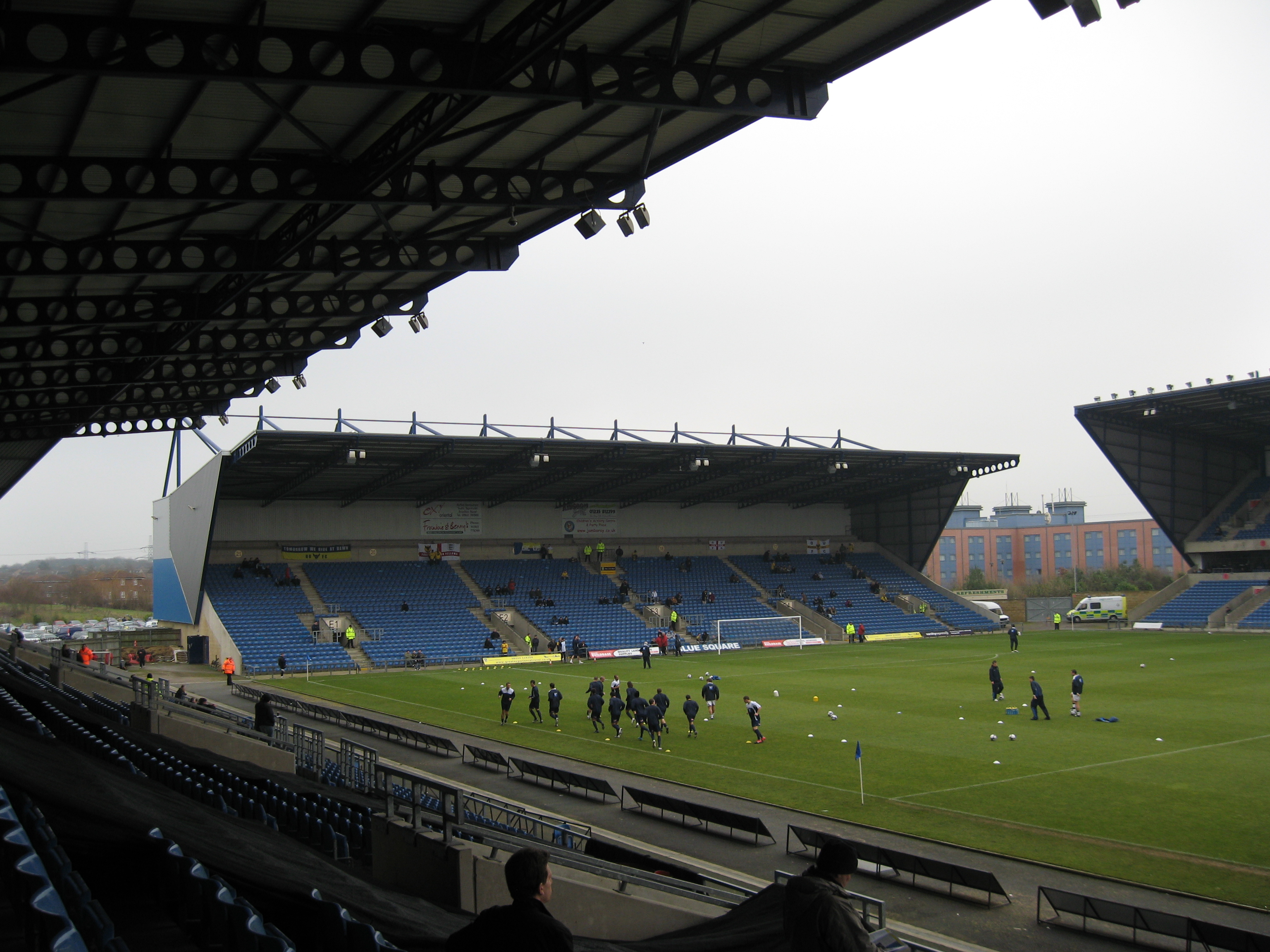
Kassam Stadium

The Kassam Stadium (also known as Grenoble Road) is the home of Oxford United Football Club, and is named after the ground's owner and former chairman...

Nearby Amenities

Located within 500m of 51.702273,-1.180694
Toot Baldon
Place: village
Source Name: local knowledge
Wikidata: Q780575
Wikipedia: en:Toot Baldon
Lat/Long: 51.7022851/-1.1804133
Post Box
Created By: Potlatch 0.10f
Ref: OX44 67
Lat/Long: 51.7022377/-1.1808723
Power: tower
Lat/Long: 51.7054633/-1.1772461
Power: tower
Lat/Long: 51.7053624/-1.1812379
Crown PH
Naptan AtcoCode: 340000760CRO
Naptan Bearing: E
Naptan BusStopType: CUS
Naptan CommonName: Crown PH
Naptan Indicator: Opposite
Naptan Landmark: Crown PH
Naptan NaptanCode: oxfgjwpm
Naptan Street: Unclassified Road
Naptan Verified: no
Source: naptan_import
Lat/Long: 51.7023706/-1.1808485
Crown PH
Naptan AtcoCode: 340000760WIL
Naptan Bearing: W
Naptan BusStopType: CUS
Naptan CommonName: Crown PH
Naptan Indicator: Outside
Naptan Landmark: Crown PH
Naptan NaptanCode: oxfamwgd
Naptan Street: Unclassified Road
Naptan Verified: no
Source: naptan_import
Lat/Long: 51.7022798/-1.1807199
Wilmots
Naptan AtcoCode: 340001482OPP
Naptan Bearing: SW
Naptan BusStopType: CUS
Naptan CommonName: Wilmots
Naptan Indicator: Opposite
Naptan Landmark: Wilmots
Naptan NaptanCode: oxfagpmd
Naptan Street: Baldon Lane
Naptan Verified: no
Source: naptan_import
Lat/Long: 51.7005982/-1.1845705
Wilmots
Naptan AtcoCode: 340001482OUT
Naptan Bearing: NE
Naptan BusStopType: CUS
Naptan CommonName: Wilmots
Naptan Indicator: Corner
Naptan Landmark: Wilmots
Naptan NaptanCode: oxfagpma
Naptan Street: Baldon Lane
Naptan Verified: no
Source: naptan_import
Lat/Long: 51.7005995/-1.1847586
Barrier: kissing_gate
Foot: yes
Lat/Long: 51.6978055/-1.1803148
Power: pole
Lat/Long: 51.701931/-1.1826879
Power: pole
Lat/Long: 51.7014689/-1.1816365
Power: pole
Lat/Long: 51.7009535/-1.1820763
Power: pole
Lat/Long: 51.7005147/-1.1824465
Power: pole
Lat/Long: 51.6998996/-1.182999
Power: pole
Lat/Long: 51.6993543/-1.1834335
Power: pole
Lat/Long: 51.6988523/-1.1839163
Power: pole
Lat/Long: 51.7014605/-1.1791393
Power: pole
Lat/Long: 51.7016899/-1.17661
Power: pole
Lat/Long: 51.7019543/-1.1753467
Power: pole
Lat/Long: 51.7021936/-1.1741048
Direction: 160
Generator Method: photovoltaic
Generator Output Electricity: yes
Generator Solar Modules: 12
Generator Source: solar
Generator Type: solar_photovoltaic_panel
Location: roof
Power: generator
Lat/Long: 51.69975/-1.1851829
The data included in this document is from www.openstreetmap.org. The data is made available under ODbL.

Have you been to Toot Baldon?

Leave your review of Toot Baldon below (or comments, questions and feedback).