Toot Baldon
Civil Parish in Oxfordshire South Oxfordshire
England
Toot Baldon
Toot Baldon is a civil parish located in Oxfordshire, England. Situated approximately 6 miles southeast of Oxford, this rural village is nestled in the rolling countryside of the county. The parish covers an area of approximately 1,500 acres and has a population of around 350 residents.
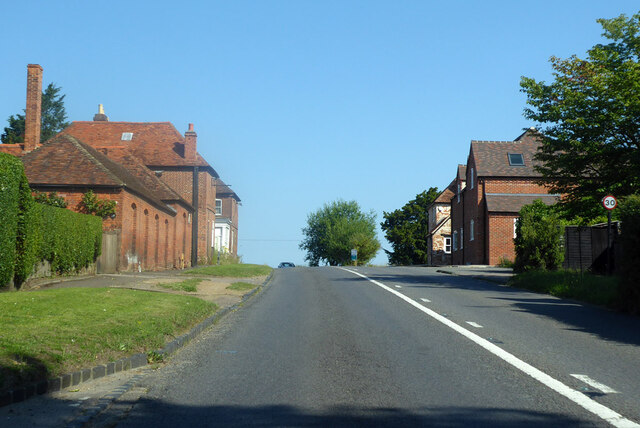
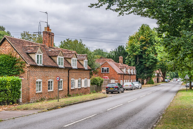
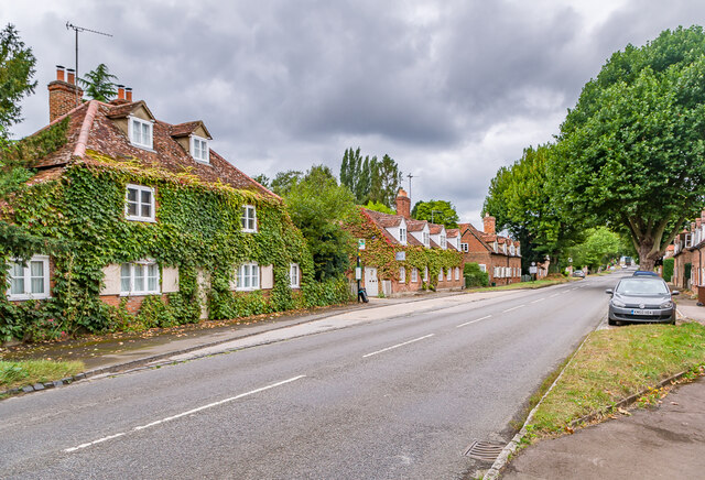
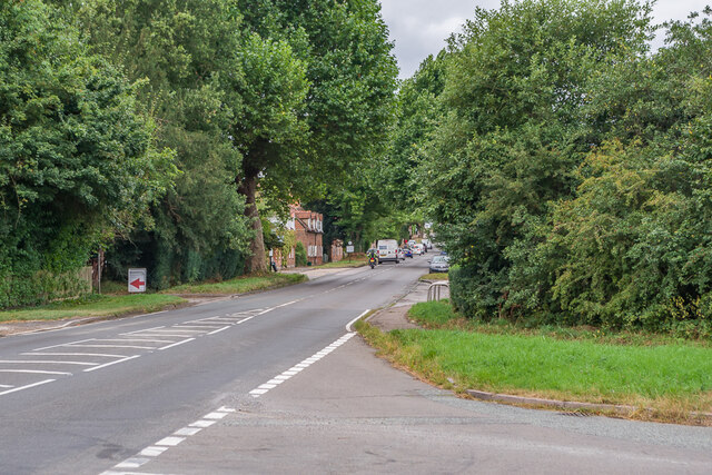
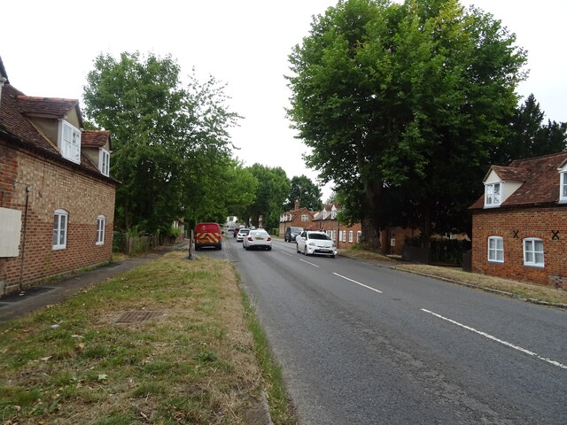
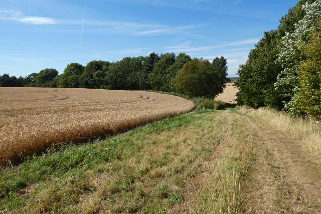
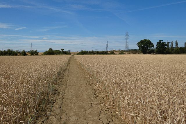
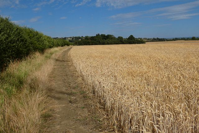
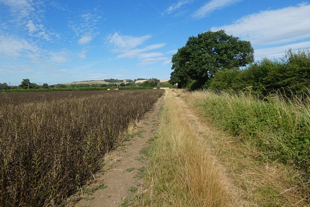
Toot Baldon is renowned for its picturesque landscape, characterized by lush green fields, meandering streams, and charming country lanes. The village is surrounded by farmland, contributing to its tranquil and idyllic atmosphere. It offers a peaceful retreat from the hustle and bustle of urban life, attracting visitors seeking a taste of rural England.
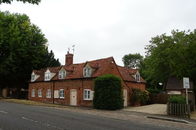
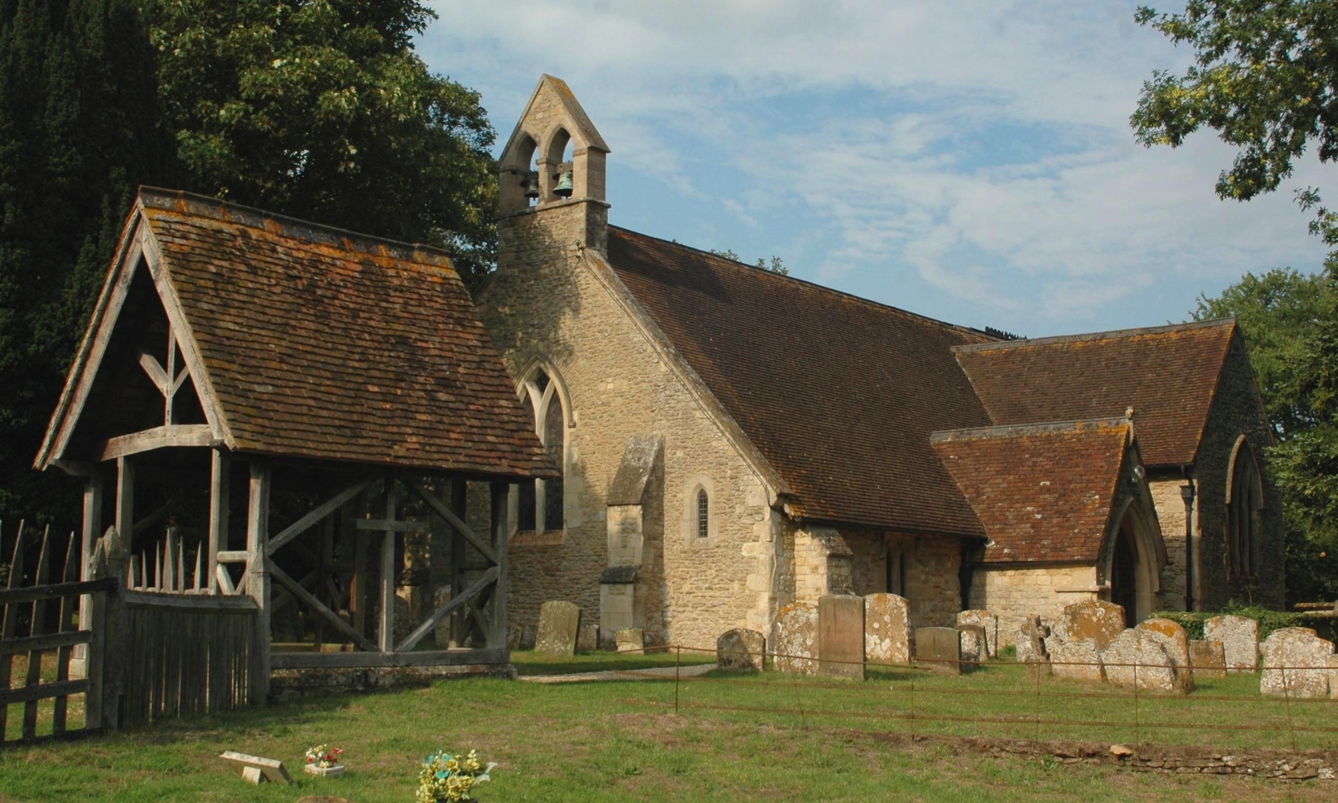
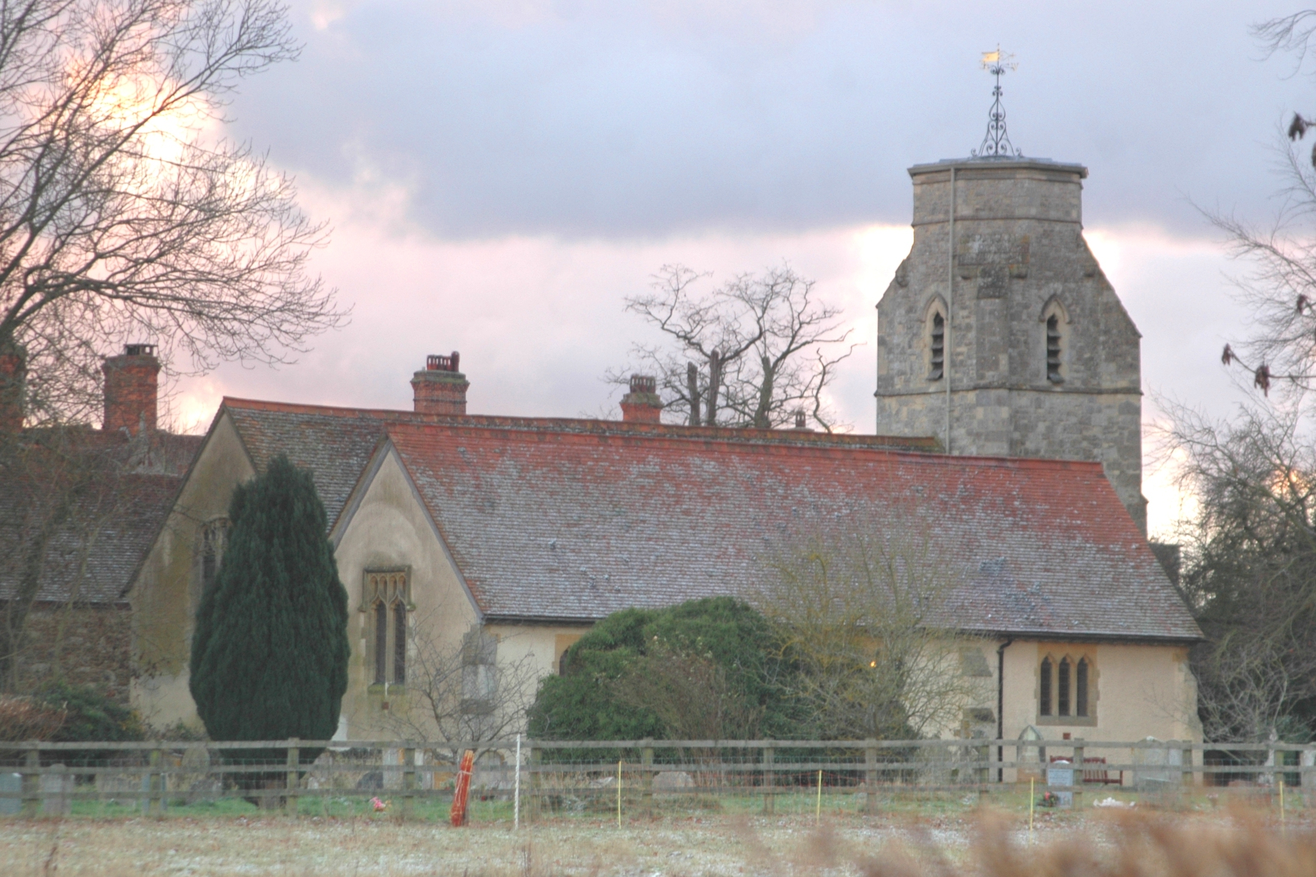
The historic St. Lawrence Church is a prominent feature in Toot Baldon. With its origins dating back to the 12th century, the church showcases stunning architecture and serves as a reminder of the village's rich history. Additionally, there are several well-preserved thatched cottages dotted around the area, adding to the village's charm and rustic appeal.
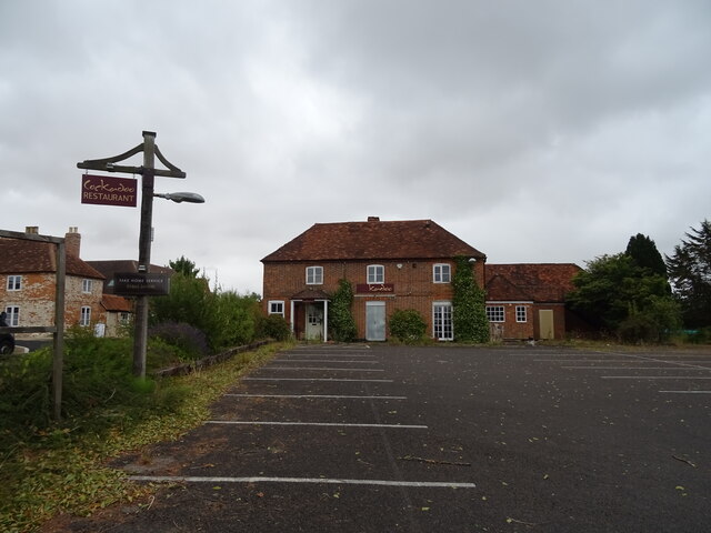
Though primarily an agricultural community, Toot Baldon has a vibrant community spirit. The village hosts various events throughout the year, including summer fairs, village fetes, and local sports tournaments. The community also benefits from a village hall, which serves as a hub for social gatherings and activities.
Despite its rural setting, Toot Baldon enjoys good transport links. The nearby A4074 road connects the village to Oxford and the surrounding areas, offering convenient access for both residents and visitors.
Overall, Toot Baldon is a quintessential English village, celebrated for its natural beauty, historical landmarks, and tight-knit community.
If you have any feedback on the listing, please let us know in the comments section below.
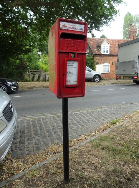
Toot Baldon Images
Images are sourced within 2km of 51.698763/-1.178992 or Grid Reference SP5600. Thanks to Geograph Open Source API. All images are credited.


Toot Baldon is located at Grid Ref: SP5600 (Lat: 51.698763, Lng: -1.178992)
Administrative County: Oxfordshire
District: South Oxfordshire
Police Authority: Thames Valley
What 3 Words
///signed.glimmers.pints. Near Garsington, Oxfordshire
Nearby Locations
Related Wikis
Toot Baldon
Toot Baldon is a village and civil parish about 5 miles (8 km) southeast of Oxford in Oxfordshire. Since 2012 it has been part of the Baldons joint parish...
Marsh Baldon
Marsh Baldon is a village and civil parish about 5 miles (8 km) southeast of Oxford in Oxfordshire. Since 2012 it has been part of the Baldons joint parish...

Baldon Row
Baldon Row is a hamlet in Toot Baldon civil parish, about 5 miles (8.0 km) southeast of Oxford in Oxfordshire. == External links == Media related to Baldon...
Baldons
Baldons is a joint parish council area covering the civil parishes of Toot Baldon and Marsh Baldon, in the South Oxfordshire district about 5 miles (8...
Nuneham Courtenay
Nuneham Courtenay is a village and civil parish about 5 miles (8 km) SSE of Oxford. It occupies several miles close to the east bank of the River Thames...

Garsington Manor
Garsington Manor, in the village of Garsington, near Oxford, England, is a country house, dating from the 17th century. Its fame derives principally from...

Harcourt Arboretum
Harcourt Arboretum is an arboretum owned and run by the University of Oxford. It is a satellite of the university's botanic garden in the city of Oxford...
Garsington
Garsington is a village and civil parish about 8 kilometres (5 mi) southeast of Oxford in Oxfordshire. "A History of the County of Oxfordshire" provides...
Nearby Amenities
Located within 500m of 51.698763,-1.178992Have you been to Toot Baldon?
Leave your review of Toot Baldon below (or comments, questions and feedback).