Baldock
Settlement in Hertfordshire North Hertfordshire
England
Baldock

Baldock is a small market town located in the county of Hertfordshire, England. Situated approximately 33 miles north of London, it lies within the district of North Hertfordshire. The town's name is believed to have derived from the Old English words "baeld" meaning bold and "ac" indicating oak tree.
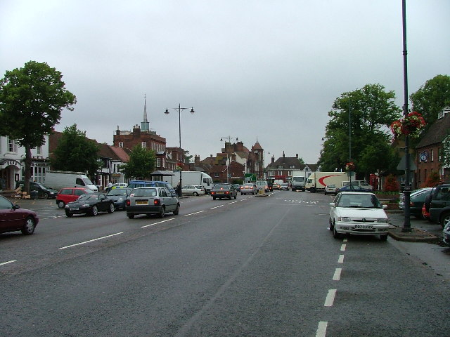
Baldock has a rich history dating back to Roman times, with evidence of a Roman settlement discovered in the area. The town grew as a market center during the medieval period and still retains its traditional market square, where weekly markets are held. The town's historic High Street is lined with charming timber-framed buildings, giving it a distinct character.
Today, Baldock is a thriving community with a population of around 10,000 residents. It offers a range of amenities and services, including shops, pubs, restaurants, and leisure facilities. The town boasts several primary schools and a secondary school, providing education for local children.
Transport links are excellent, with Baldock being conveniently located near the A1(M) motorway, connecting it to London and other major cities. The town also benefits from a railway station, providing regular train services to London Kings Cross, Cambridge, and other destinations.
Surrounded by picturesque countryside, Baldock offers opportunities for outdoor activities such as walking and cycling. The town is also within close proximity to several attractions, including the historic North Hertfordshire Museum and the scenic Baldock Golf Club.
Overall, Baldock is a charming market town with a rich history, offering a pleasant living environment and convenient access to both rural and urban amenities.
If you have any feedback on the listing, please let us know in the comments section below.
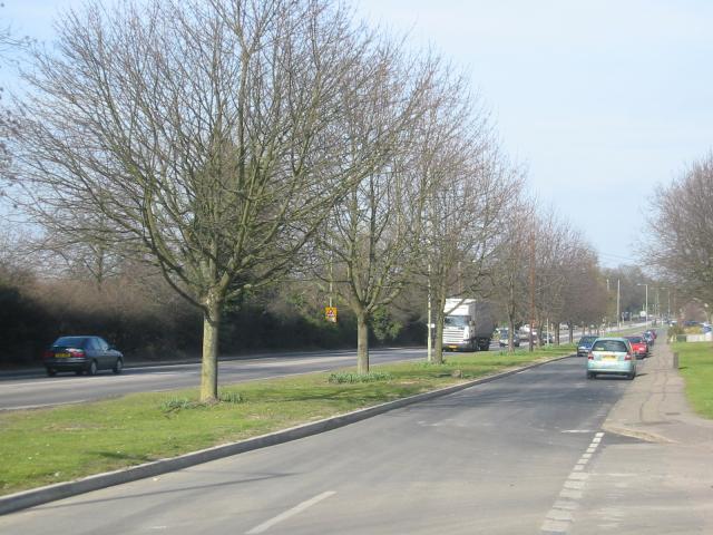
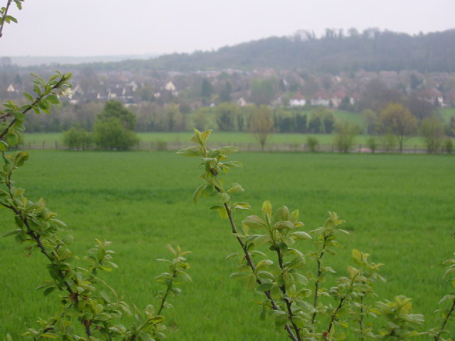
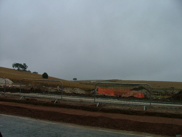
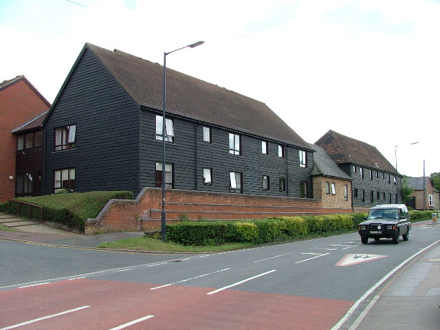
Baldock Images
Images are sourced within 2km of 51.984219/-0.185705 or Grid Reference TL2433. Thanks to Geograph Open Source API. All images are credited.


Baldock is located at Grid Ref: TL2433 (Lat: 51.984219, Lng: -0.185705)
Administrative County: Hertfordshire
District: North Hertfordshire
Police Authority: Hertfordshire
What 3 Words
///gently.pies.emerge. Near Baldock, Hertfordshire
Nearby Locations
Related Wikis
The Knights Templar School
The Knights Templar School is a co-educational secondary school with academy status located in the market town of Baldock in North Hertfordshire, England...
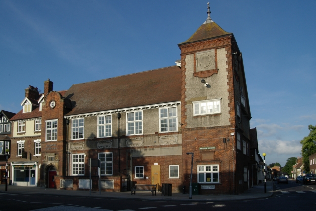
Baldock Town Hall
Baldock Town Hall is a municipal building in the High Street, Baldock, Hertfordshire, England. The structure, which now operates as an arts and heritage...

Church of St Mary the Virgin, Baldock
The Church of St Mary the Virgin is a parish church of the Church of England in Baldock in Hertfordshire. Dedicated to the Virgin Mary, the original church...
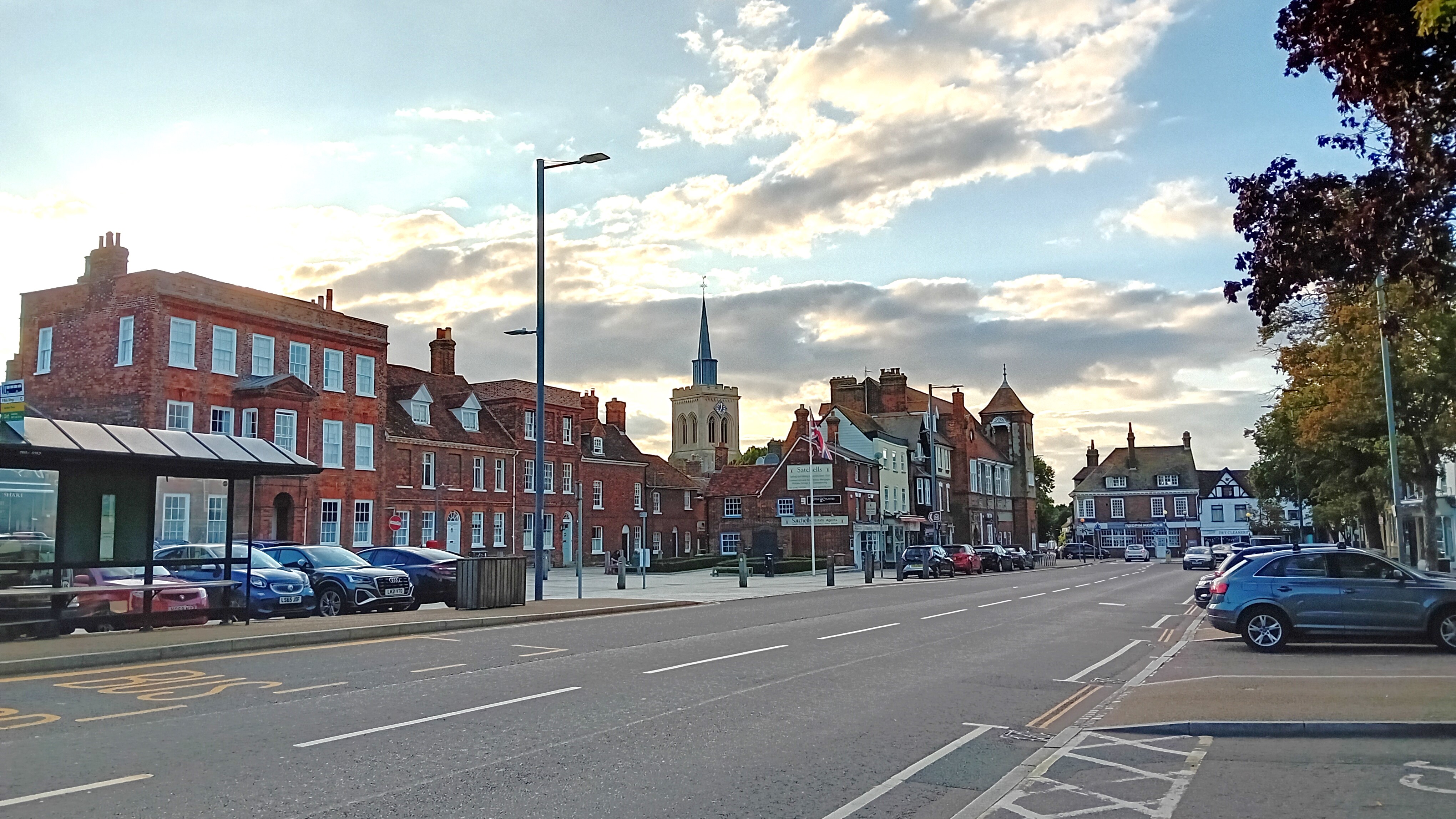
Baldock
Baldock ( BAWL-dək) is a historic market town in the North Hertfordshire district of Hertfordshire, England. The River Ivel rises from springs in the town...
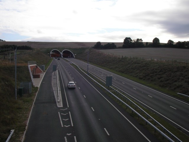
Weston Hills Tunnel
The Weston Hills Tunnel is a 230m twin road tunnel under the Weston Hills near Baldock in Hertfordshire. It was constructed as part of the A505 Baldock...
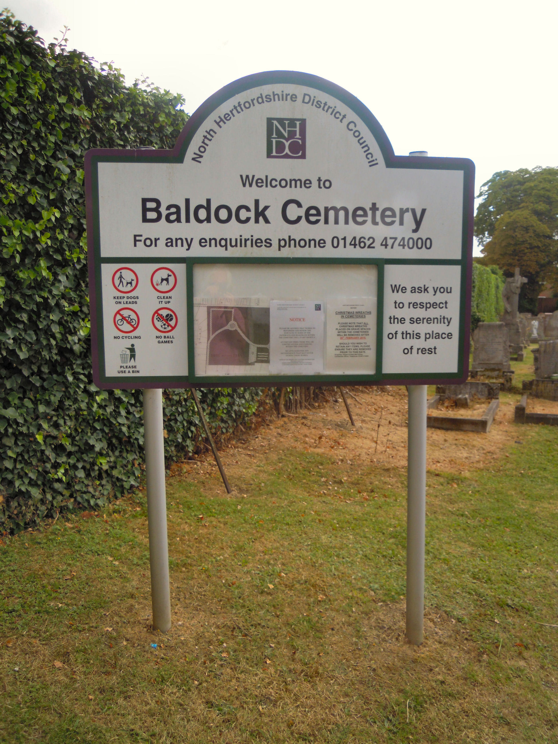
Baldock Cemetery
Baldock Cemetery is the burial ground for the market town of Baldock in North Hertfordshire and the surrounding area. It is maintained by North Hertfordshire...
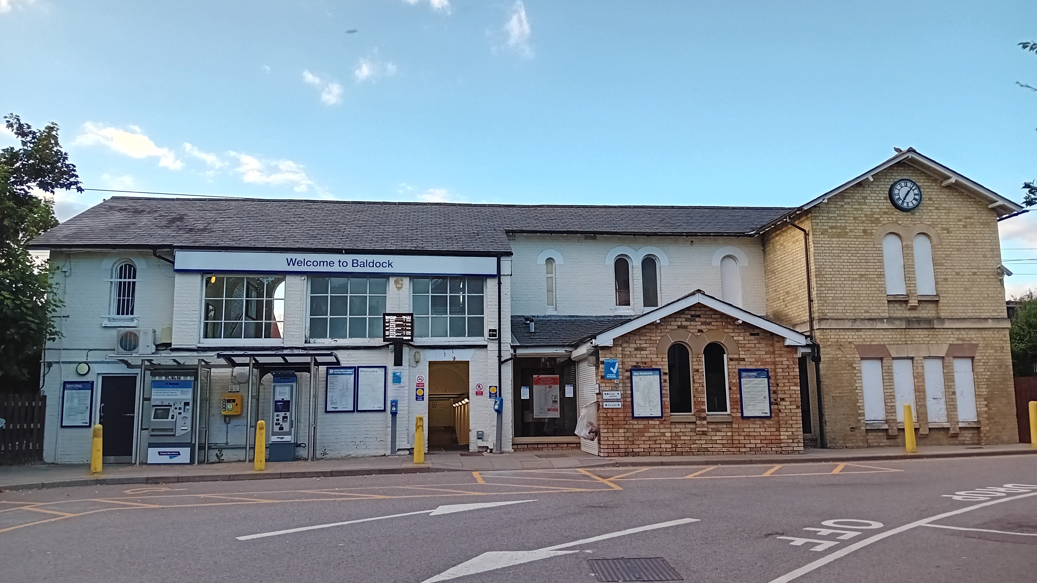
Baldock railway station
Baldock railway station serves the historic market town of Baldock in Hertfordshire, England. It is on the Cambridge Line, 36 miles 47 chains (58.9 km...
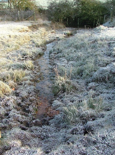
Ivel Springs
Ivel Springs is a 15.4 hectare Local Nature Reserve in Baldock in Hertfordshire. It is owned and managed by North Hertfordshire District Council, assisted...
Nearby Amenities
Located within 500m of 51.984219,-0.185705Have you been to Baldock?
Leave your review of Baldock below (or comments, questions and feedback).