Baldinnie

Settlement in Fife

Scotland

Baldinnie

Harleswynd from the east
Harleswynd from the east Credit: Becky Williamson

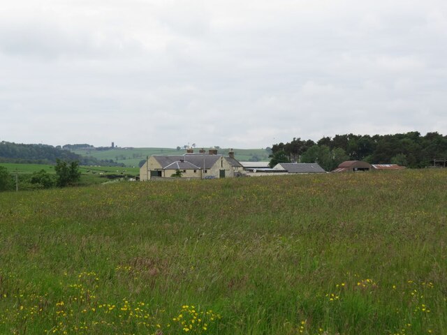
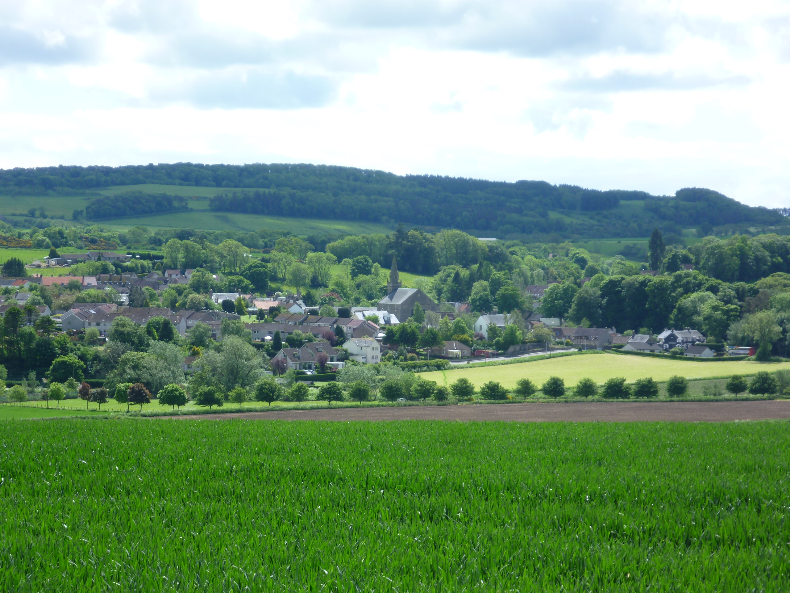
Baldinnie is a small village located in the county of Fife, Scotland. Situated approximately 5 miles north-west of Cupar, it lies in the picturesque countryside, surrounded by rolling hills and farmland. The village is home to a tight-knit community, with a population of around 200 residents.

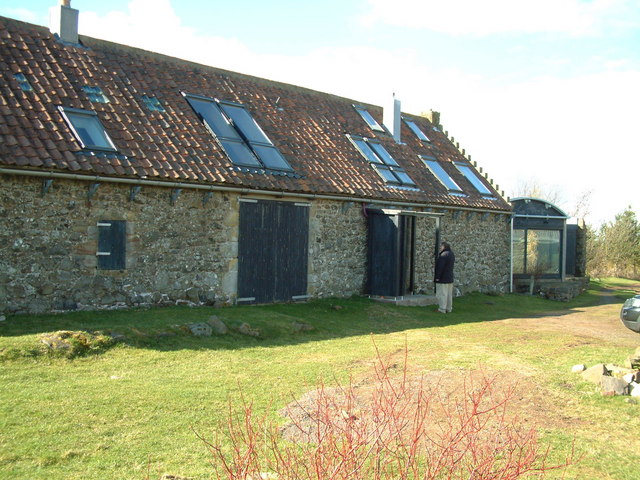
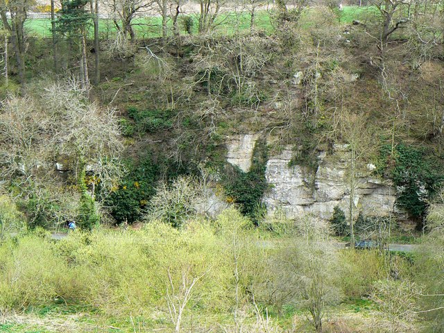
Baldinnie is known for its tranquil and idyllic setting, making it a popular choice for those seeking a peaceful rural lifestyle. The area is rich in natural beauty, offering stunning views of the surrounding landscape. The village itself features a mix of traditional stone-built houses, giving it a charming and timeless feel.

While Baldinnie may be small, it benefits from its close proximity to nearby towns and cities. Cupar, the nearest town, offers a range of amenities such as shops, restaurants, and schools. The village is also conveniently located for commuting, with good road connections to Dundee and St Andrews.

Baldinnie is a place that values community spirit, with residents actively involved in local initiatives and events. The village has a strong sense of identity and a welcoming atmosphere, making it an attractive place for families or those looking for a close-knit community.

Overall, Baldinnie, Fife offers a peaceful and picturesque lifestyle, surrounded by natural beauty and benefiting from its proximity to larger towns and cities. It is a place where residents can enjoy the serenity of the countryside while still being well-connected to the broader region.

If you have any feedback on the listing, please let us know in the comments section below.
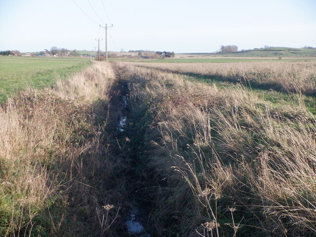
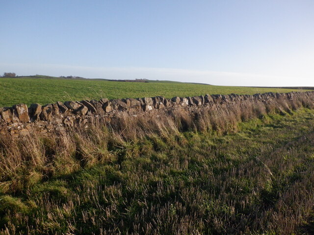
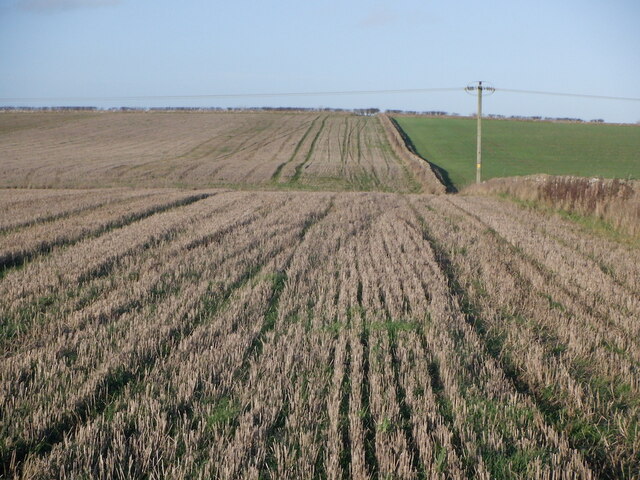
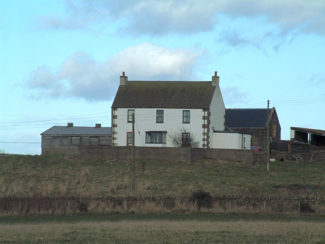
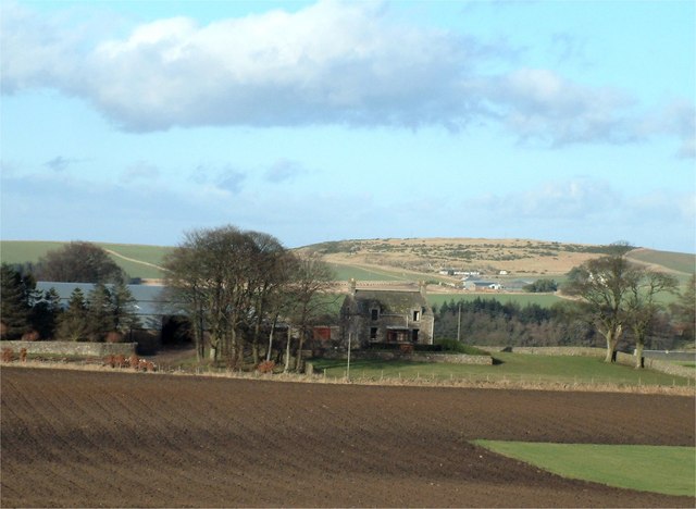
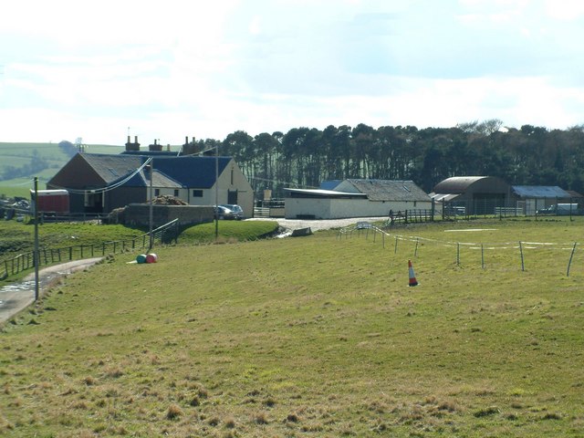
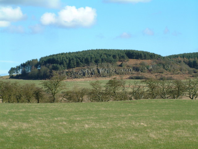
Baldinnie Images

Images are sourced within 2km of 56.290931/-2.925503 or Grid Reference NO4211. Thanks to Geograph Open Source API. All images are credited.

Harleswynd from the east
Cow Parsley on road to Newbigging of Craighall A straight road leading to Newbigging of Craighall, seen in distance on the right.
Cow Parsley on road to Newbigging of Craighall
A straight road leading to Newbigging of Craighall, seen in distance on the right.
Stubble and road, Callange
Ditch, Callange
Ditch, Callange
Dyke and arable, Callange Stubble fields.
Dyke and arable, Callange
Stubble fields.
Stubble, Callange
Stubble, Callange
Vincenzo Lunardi's monument This small monument stands right in the very SW corner of this square. The inscription reads:

"Vincenzo Lunardi, born Lucca, Italy in 1759. He ascended in a hydrogen balloon on the 5 Oct 1785 from the garden of Heriot's Hospital Edinburgh. He landed at Coaltown of Callange in the Parish of Ceres, having travelled 46 miles. This was the first aerial voyage in Scotland."

He landed in the field behind the monument.
Vincenzo Lunardi's monument
This small monument stands right in the very SW corner of this square. The inscription reads: "Vincenzo Lunardi, born Lucca, Italy in 1759. He ascended in a hydrogen balloon on the 5 Oct 1785 from the garden of Heriot's Hospital Edinburgh. He landed at Coaltown of Callange in the Parish of Ceres, having travelled 46 miles. This was the first aerial voyage in Scotland." He landed in the field behind the monument.
Ceres Burn and Pitscottie The Ceres burn flowing northwards towards Pitscottie in the distance. Taken from where an old road crosses the burn.
Ceres Burn and Pitscottie
The Ceres burn flowing northwards towards Pitscottie in the distance. Taken from where an old road crosses the burn.
Farmland by Pitscottie Farmland between Pitscottie and Newbigging of Blebo. Looking SW across the square.
Farmland by Pitscottie
Farmland between Pitscottie and Newbigging of Blebo. Looking SW across the square.
South Callange Fresh ploughed land by South Callange Farm, Baldinnie.
South Callange
Fresh ploughed land by South Callange Farm, Baldinnie.
Old bridge over the Ceres Burn This fine old bridge lies slap bang in the centre of the square. Today it has been bypassed and is used only by farm traffic and walkers. Looking north and down stream
Old bridge over the Ceres Burn
This fine old bridge lies slap bang in the centre of the square. Today it has been bypassed and is used only by farm traffic and walkers. Looking north and down stream
Scrapyard Old cars and scrap metal at Baldinnie
Scrapyard
Old cars and scrap metal at Baldinnie
Farm near Coaltown of Callange
Percy Baldinnie Farm
West Mains Principal farm on Greigston House estate
West Mains
Principal farm on Greigston House estate
Harleswynd Kennels
Harleswynd Kennels
Wood on the craig Forestry plantation on top of Gathercauld Craig
Wood on the craig
Forestry plantation on top of Gathercauld Craig
Bruntshiels Residential conversion of former farm buildings
Bruntshiels
Residential conversion of former farm buildings
Show me another place!

Baldinnie is located at Grid Ref: NO4211 (Lat: 56.290931, Lng: -2.925503)

Unitary Authority: Fife

Police Authority: Fife

What 3 Words

///chum.guidebook.reapply. Near Cupar, Fife

Nearby Locations

Baldinnie

Related Wikis

Pitscottie

Pitscottie is a village in the Parish of Ceres, Fife, situated on the Ceres Burn at a road junction to the south of Dura Den and 3 miles (5 km) southeast...

Craighall Castle

Craighall Castle is located in Ceres, Fife, Scotland. It was built in 1637 by Sir Thomas Hope but there was a tower of previous land owners before 1637...

Dura Den

Dura Den is a small, 3 km-long wooded gorge that is located near Cupar in northeastern Fife, Scotland. This narrow cleft follows a course between the villages...

Ceres, Fife

Ceres is a village in Fife, Scotland, located in a small glen approximately 2 miles (3 km) over the Ceres Moor from Cupar and 7 mi (11 km) from St Andrews...

Peat Inn

Peat Inn is a hamlet in Fife, Scotland, around 7 miles (11 kilometres) southeast of Cupar on the B940 and 6 miles (10 kilometres) southwest of St Andrews...

North East Fife (UK Parliament constituency)

North East Fife is a county constituency in Fife, Scotland, represented in the House of Commons of the UK Parliament by Wendy Chamberlain of the Liberal...

Blebo Craigs

Blebo Craigs, or Blebocraigs is a village in rural Fife, Scotland. The village contains around one hundred houses on the south-facing slope of the hill...

Rumgally House

Rumgally House is the site of a 16th-century tower house, about 2.5 miles (4.0 km) east of Cupar, Fife, Scotland, and south of the River Eden. The castle...

Nearby Amenities

Located within 500m of 56.290931,-2.925503
Baldinnie
Place: hamlet
Lat/Long: 56.2913514/-2.9246217
Power: pole
Lat/Long: 56.2895353/-2.9185814
Power: pole
Lat/Long: 56.2894475/-2.9199091
Power: pole
Lat/Long: 56.2893731/-2.9212233
Power: pole
Lat/Long: 56.2892212/-2.9237339
Power: pole
Lat/Long: 56.2891513/-2.9249758
Power: pole
Lat/Long: 56.28905/-2.9261854
Power: pole
Lat/Long: 56.2889756/-2.9274112
Power: pole
Lat/Long: 56.2888922/-2.9286155
Power: pole
Lat/Long: 56.2887999/-2.9298735
Power: pole
Lat/Long: 56.2886987/-2.9310858
Power: pole
Lat/Long: 56.2922682/-2.9326354
Power: pole
Lat/Long: 56.2922728/-2.9315238
Power: pole
Lat/Long: 56.2922831/-2.9303874
Power: pole
Lat/Long: 56.2922889/-2.9292592
Power: pole
Lat/Long: 56.2922992/-2.9281414
Power: pole
Lat/Long: 56.2923038/-2.9270484
Power: pole
Lat/Long: 56.2920545/-2.9258581
Power: pole
Lat/Long: 56.2919626/-2.9254214
Power: pole
Lat/Long: 56.2918035/-2.9246668
Power: pole
Lat/Long: 56.2915468/-2.9237301
Power: pole
Lat/Long: 56.2912561/-2.922544
Power: pole
Lat/Long: 56.290954/-2.9214572
Power: pole
Lat/Long: 56.290684/-2.9203663
Power: pole
Lat/Long: 56.2909092/-2.9193003
Power: pole
Lat/Long: 56.2911389/-2.9181949
The data included in this document is from www.openstreetmap.org. The data is made available under ODbL.

Have you been to Baldinnie?

Leave your review of Baldinnie below (or comments, questions and feedback).