Baldingstone

Settlement in Lancashire

England

Baldingstone

WWII Lancashire: Ghost Signs of the Home Front  (16) -
Emergency Rendezvous Point, Walmersley Road, Bury, at junction with Mather Road

"ERP ---?"

Emergency Rendezvous Points (ERP) were designated places in the locality for the coordination of ARP and emergency services during civil emergencies, particularly for those services arriving from outside the area. The signs appear in a variety of designs, but most are diamond shapes framing the ERP locality number.

<a href="https://www.geograph.org.uk/photo/6945297">SD8013 : WWII Lancashire: Ghost Signs of the Home Front  (17)</a>
WWII Lancashire: Ghost Signs of the Home Front (16) Credit: Mike Searle

Baldingstone is a small village located in the county of Lancashire, England. With a population of around 500 residents, it is nestled in the picturesque countryside, surrounded by lush green fields and rolling hills. The village is situated approximately 10 miles southeast of the city of Preston and falls within the administrative district of Ribble Valley.

The name Baldingstone derives from the Old English word "bald," meaning bold or brave, and "ing," indicating a settlement. The village has a rich history, dating back to medieval times, and many of its buildings still retain their traditional charm. The local church, St. Mary's, is a notable landmark, with its origins tracing back to the 14th century.

Despite its small size, Baldingstone boasts a close-knit community and a strong sense of community spirit. The village has a primary school, providing education for local children, and a village hall, which serves as a hub for various social and recreational activities. The surrounding countryside offers ample opportunities for outdoor pursuits, such as hiking, cycling, and horse riding.

Although Baldingstone is primarily a residential area, it benefits from its proximity to larger towns and cities. The village is well-connected by road, with easy access to the motorway network, making it convenient for commuters. Additionally, nearby towns offer a range of amenities, including shops, supermarkets, and leisure facilities.

In summary, Baldingstone is a tranquil and charming village in Lancashire, renowned for its natural beauty and strong community spirit. It provides a peaceful retreat for residents while maintaining easy access to nearby urban centers.

If you have any feedback on the listing, please let us know in the comments section below.
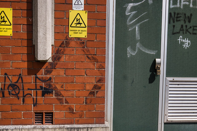
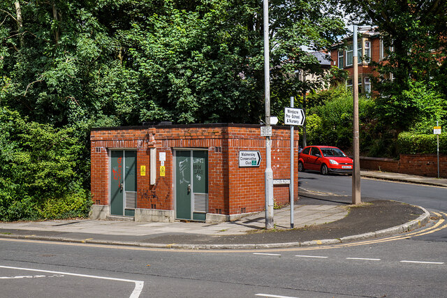
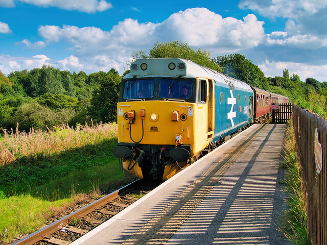
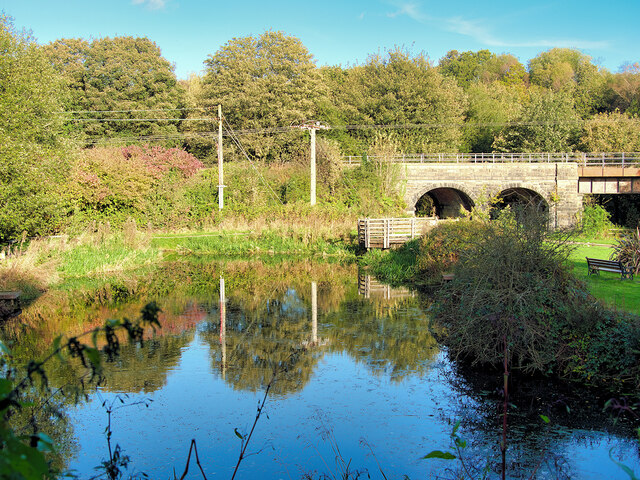
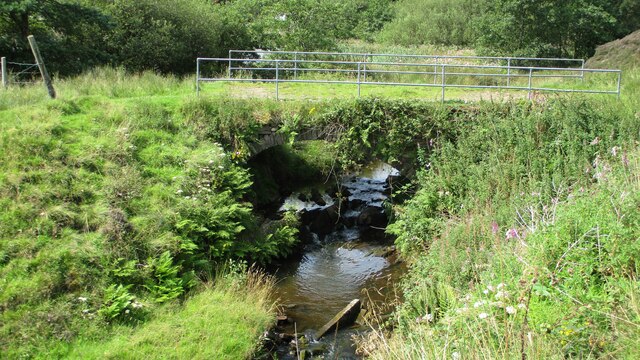
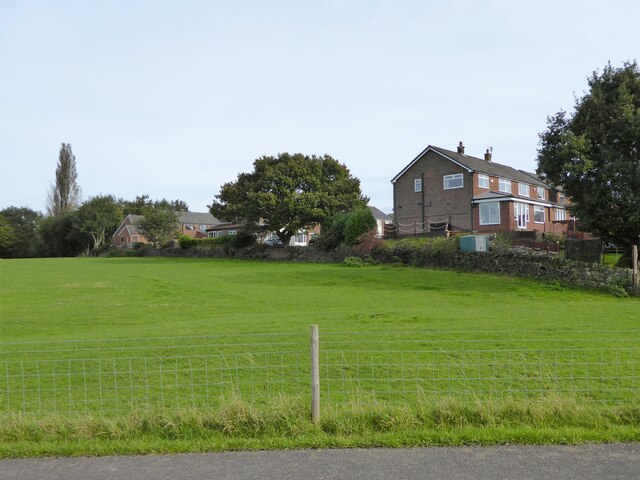
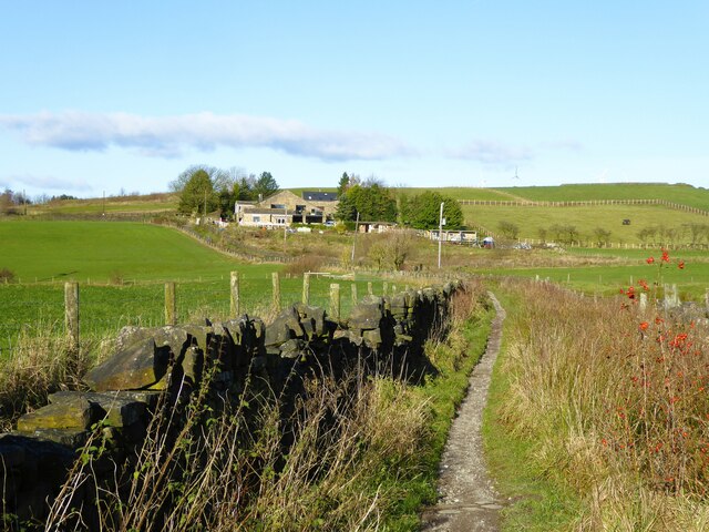
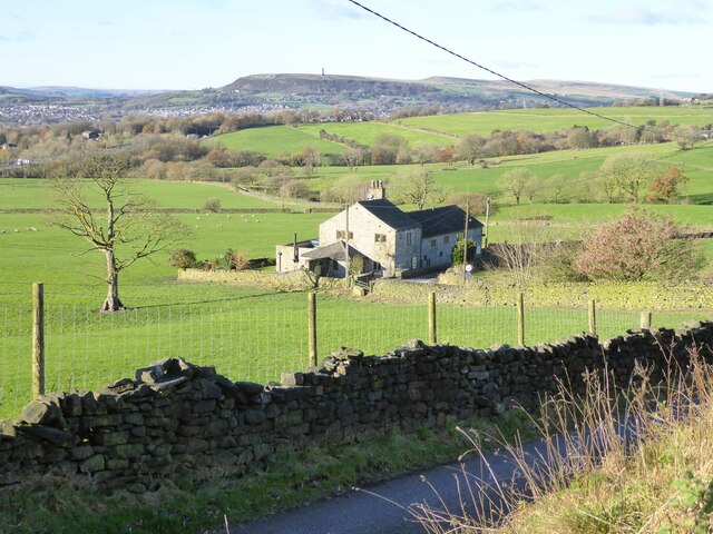
Baldingstone Images

Images are sourced within 2km of 53.623079/-2.290257 or Grid Reference SD8014. Thanks to Geograph Open Source API. All images are credited.

WWII Lancashire: Ghost Signs of the Home Front  (16) -
Emergency Rendezvous Point, Walmersley Road, Bury, at junction with Mather Road

"ERP ---?"

Emergency Rendezvous Points (ERP) were designated places in the locality for the coordination of ARP and emergency services during civil emergencies, particularly for those services arriving from outside the area. The signs appear in a variety of designs, but most are diamond shapes framing the ERP locality number.

<a href="https://www.geograph.org.uk/photo/6945297">SD8013 : WWII Lancashire: Ghost Signs of the Home Front  (17)</a>
WWII Lancashire: Ghost Signs of the Home Front (16)
- Emergency Rendezvous Point, Walmersley Road, Bury, at junction with Mather Road "ERP ---?" Emergency Rendezvous Points (ERP) were designated places in the locality for the coordination of ARP and emergency services during civil emergencies, particularly for those services arriving from outside the area. The signs appear in a variety of designs, but most are diamond shapes framing the ERP locality number. SD8013 : WWII Lancashire: Ghost Signs of the Home Front (17)
WWII Lancashire: Ghost Signs of the Home Front  (17) -
Emergency Rendezvous Point, Walmersley Road, Bury, at junction with Mather Road

"ERP ---?"

Emergency Rendezvous Points (ERP) were designated places in the locality for the coordination of ARP and emergency services during civil emergencies, particularly for those services arriving from outside the area. The signs appear in a variety of designs, but most are diamond shapes framing the ERP locality number.

<a href="https://www.geograph.org.uk/photo/6945304">SD7712 : WWII Lancashire: Ghost Signs of the Home Front  (18)</a>
WWII Lancashire: Ghost Signs of the Home Front (17)
- Emergency Rendezvous Point, Walmersley Road, Bury, at junction with Mather Road "ERP ---?" Emergency Rendezvous Points (ERP) were designated places in the locality for the coordination of ARP and emergency services during civil emergencies, particularly for those services arriving from outside the area. The signs appear in a variety of designs, but most are diamond shapes framing the ERP locality number. SD7712 : WWII Lancashire: Ghost Signs of the Home Front (18)
East Lancashire Railway, Valiant at Burrs An East Lancashire Railway train hauled by 50015, ex-British Rail Co-Co Class 50 ‘Valiant' diesel locomotive, arrives at Burrs Country Park Halt.

One of 18 preserved Class 50 locomotives, Valiant was built by English Electric at the Vulcan Foundry. It entered service with British Rail in 1968. It was withdrawn from service in 1992 (<span class="nowrap"><a title="http://www.elrdiesel.info/fleet-50015.php#start" rel="nofollow ugc noopener" href="http://www.elrdiesel.info/fleet-50015.php#start">Link</a><img style="margin-left:2px;" alt="External link" title="External link - shift click to open in new window" src="https://s1.geograph.org.uk/img/external.png" width="10" height="10"/></span>  East Lancashire Railway Diesel Group).
East Lancashire Railway, Valiant at Burrs
An East Lancashire Railway train hauled by 50015, ex-British Rail Co-Co Class 50 ‘Valiant' diesel locomotive, arrives at Burrs Country Park Halt. One of 18 preserved Class 50 locomotives, Valiant was built by English Electric at the Vulcan Foundry. It entered service with British Rail in 1968. It was withdrawn from service in 1992 (LinkExternal link East Lancashire Railway Diesel Group).
Burrs Mill Pond Former mill pond at Burrs Country Park.
Burrs Mill Pond
Former mill pond at Burrs Country Park.
Longland Mill Bridge There is little left on the mill site apart from the mill pond
Longland Mill Bridge
There is little left on the mill site apart from the mill pond
Parkland beside the line In the vicinity of Higher Woodhill, viewed from a train on the East Lancs Railway.
Parkland beside the line
In the vicinity of Higher Woodhill, viewed from a train on the East Lancs Railway.
River Irwell (downstream) at Burrs Country Park Looking downstream from the footbridge near the activity centre.
River Irwell (downstream) at Burrs Country Park
Looking downstream from the footbridge near the activity centre.
East Lancashire Railway Bridge over River Irwell at Burrs Burrs Bridge dates from the nineteenth century; it carries the East Lancashire (Heritage) Railway over the river at Burrs Country Park.
East Lancashire Railway Bridge over River Irwell at Burrs
Burrs Bridge dates from the nineteenth century; it carries the East Lancashire (Heritage) Railway over the river at Burrs Country Park.
Riverside Path and Burrs Bridge Burrs Bridge dates from the nineteenth century; it carries the East Lancashire (Heritage) Railway over the River Irwell at Burrs Country Park.
Riverside Path and Burrs Bridge
Burrs Bridge dates from the nineteenth century; it carries the East Lancashire (Heritage) Railway over the River Irwell at Burrs Country Park.
The boundary between field and housing The on-set of housing at Walmersley seen from the road from Springside
The boundary between field and housing
The on-set of housing at Walmersley seen from the road from Springside
Path following the River Irwell At Burrs Country Park the path follows the inner bank of the river as it makes a large loop
Path following the River Irwell
At Burrs Country Park the path follows the inner bank of the river as it makes a large loop
Sillinghurst Farm A modern poultry farm seen from Castle Hill Road
Sillinghurst Farm
A modern poultry farm seen from Castle Hill Road
Bridleway to Cob House Nab
White Carr On White Carr Lane the access road for Walmersley Golf Course. On the sky line is Peel Tower.
White Carr
On White Carr Lane the access road for Walmersley Golf Course. On the sky line is Peel Tower.
View to Cob House Farm From the track at the north end of Walmersley Golf Course
View to Cob House Farm
From the track at the north end of Walmersley Golf Course
Scotland Lane A wet bridleway view east of Dunham Farm
Scotland Lane
A wet bridleway view east of Dunham Farm
Deeply Vale former bleach works chimney View from Scotland Lane
Deeply Vale former bleach works chimney
View from Scotland Lane
Burrs Country Park Caravan Club Site, Woodhall Road, Bury
Show me another place!

Baldingstone is located at Grid Ref: SD8014 (Lat: 53.623079, Lng: -2.290257)

Unitary Authority: Bury

Police Authority: Greater Manchester

What 3 Words

///handle.cycles.copper. Near Bury, Manchester

Nearby Locations

Baldingstone

Related Wikis

Walmersley

Walmersley is a suburban village in the Metropolitan Borough of Bury, Greater Manchester, England. == History == Historically in Lancashire, the name Walmersley...

Summerseat

Summerseat is a village in the Metropolitan Borough of Bury, Greater Manchester, England, directly south of Ramsbottom. == History == Historically part...

Castlesteads, Greater Manchester

Castlesteads is an Iron Age promontory fort, situated on the east bank of the River Irwell on a natural promontory in Bury, Greater Manchester (grid reference...

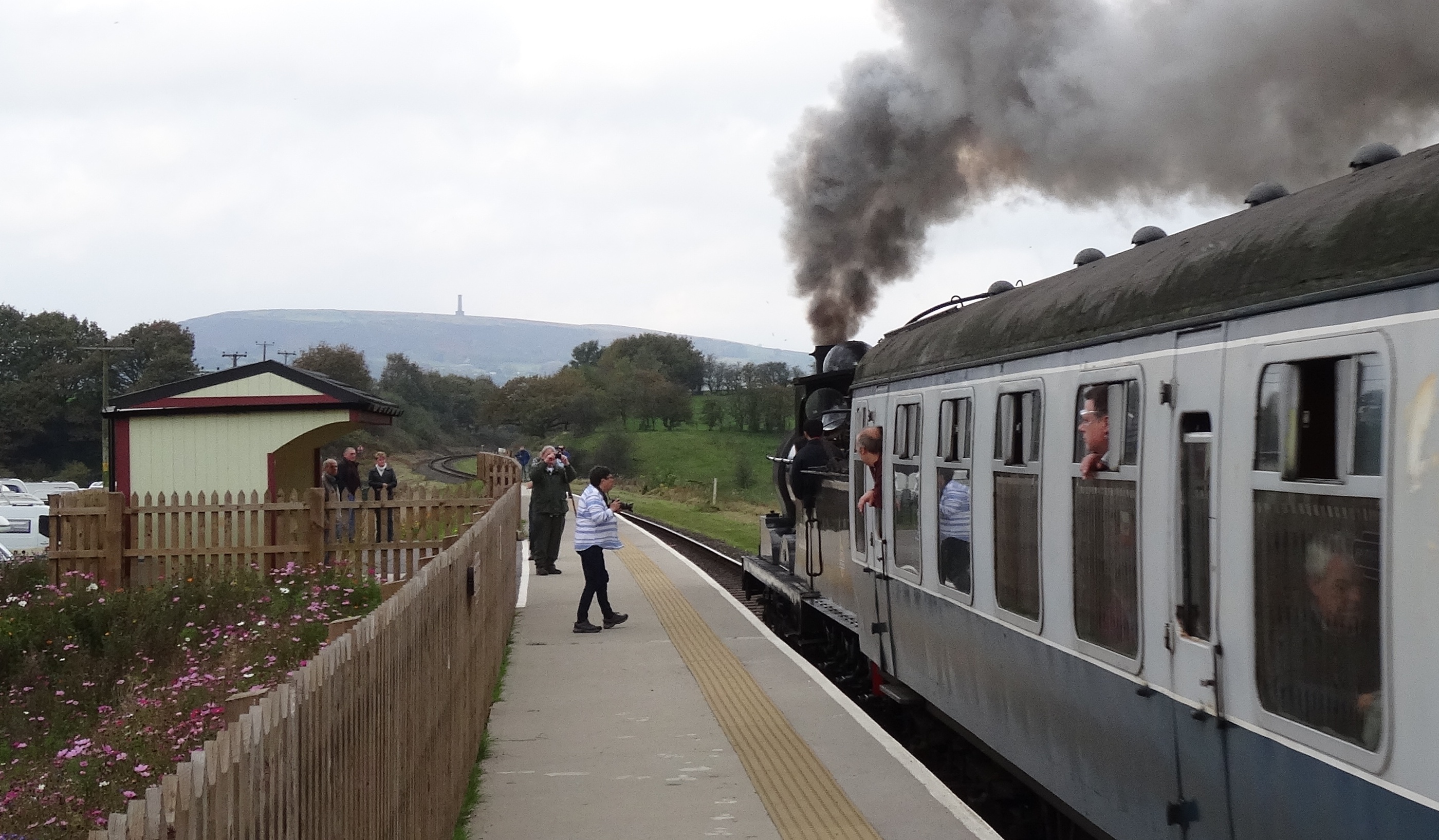
Burrs Country Park railway station

Burrs County Park is the East Lancashire Railway's seventh station. It was opened in October 2016 and since January 2017, has seen regular passenger services...

Summerseat railway station

Summerseat railway station is a preserved railway station that serves the village of Summerseat in Greater Manchester, England. It is part of the preserved...

Burrs Country Park

Burrs Country Park covers a 36 hectare (86 acre) site on the banks of the River Irwell, 1.5 km (1 ml) north west of Bury, Greater Manchester, England....

Bury North (UK Parliament constituency)

Bury North is a borough constituency in Greater Manchester, created in 1983 and represented in the House of Commons of the UK Parliament. With a Conservative...
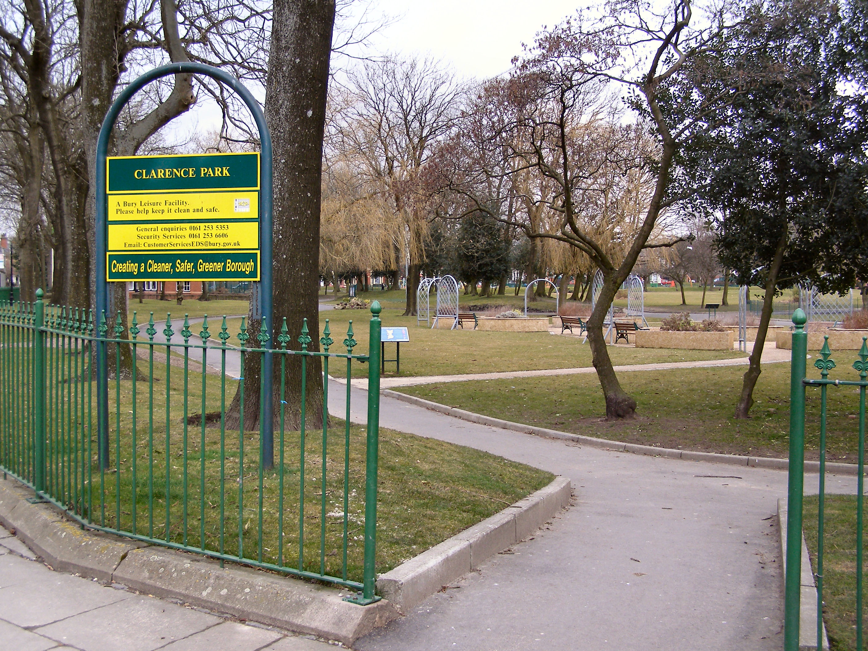
Clarence Park, Bury

Clarence Park is a Green Flag awarded public park located in Bury, Greater Manchester. It is the largest urban park in the borough, and was opened to the...

Nearby Amenities

Located within 500m of 53.623079,-2.290257
Bus Stop
Walmersley Road/Burnley Road
Bench: no
Bin: no
Bus: yes
Naptan AtcoCode: 1800NC01091
Naptan Bearing: N
Naptan CommonName: Walmersley Road/Burnley Road
Naptan Indicator: Opp House 772
Naptan Landmark: HOUSE 899
Naptan NaptanCode: mandmgjw
Naptan PlusbusZoneRef: MNCRPIC
Naptan ShortCommonName: Burnley Road
Naptan Street: WALMERSLEY ROAD
Naptan Verified: no
Network: TfGM
Public Transport: platform
Shelter: no
Source: naptan_import
Tactile Paving: no
Lat/Long: 53.6224096/-2.2974541
Bus Stop
Burnley Road/Walmersley Road
Bench: no
Bin: no
Bus: yes
Naptan AtcoCode: 1800NC01571
Naptan Bearing: W
Naptan CommonName: Burnley Road/Walmersley Road
Naptan Indicator: Terminus
Naptan Landmark: TERMINUS
Naptan NaptanCode: mandmgta
Naptan PlusbusZoneRef: MNCRPIC
Naptan ShortCommonName: Walmersley Road
Naptan Street: BURNLEY ROAD
Naptan Verified: no
Network: TfGM
Public Transport: platform
Shelter: no
Source: naptan_import
Tactile Paving: no
Lat/Long: 53.6222118/-2.2974527
Bus Stop
Walmersley Road/New Inn
Bench: yes
Bin: yes
Bus: yes
Naptan AtcoCode: 1800NC08951
Naptan Bearing: S
Naptan CommonName: Walmersley Road/New Inn
Naptan Indicator: New Inn Opp.
Naptan Landmark: HOUSE 742
Naptan NaptanCode: mandpgaj
Naptan PlusbusZoneRef: MNCRPIC
Naptan ShortCommonName: New Inn
Naptan Street: WALMERSLEY ROAD
Naptan Verified: no
Network: TfGM
Public Transport: platform
Shelter: yes
Source: naptan_import
Tactile Paving: no
Lat/Long: 53.621073/-2.2963713
Bus Stop
Walmersley Road/New Inn
Bench: yes
Bin: no
Bus: yes
Naptan AtcoCode: 1800NC08961
Naptan Bearing: N
Naptan CommonName: Walmersley Road/New Inn
Naptan Indicator: New Inn
Naptan Landmark: NEW INN
Naptan NaptanCode: mandpgam
Naptan PlusbusZoneRef: MNCRPIC
Naptan ShortCommonName: New Inn
Naptan Street: WALMERSLEY ROAD
Naptan Verified: no
Network: TfGM
Public Transport: platform
Shelter: yes
Source: naptan_import
Tactile Paving: no
Lat/Long: 53.6207404/-2.296369
Bus Stop
Walmersley Old Road/Mill Road
Bench: no
Bin: no
Bus: yes
Naptan AtcoCode: 1800NC08991
Naptan Bearing: NE
Naptan CommonName: Walmersley Old Road/Mill Road
Naptan Indicator: O/s House 61
Naptan Landmark: O/S HOUSE 61
Naptan NaptanCode: mandpgaw
Naptan PlusbusZoneRef: MNCRPIC
Naptan ShortCommonName: Mill Road
Naptan Street: Walmersley Old Road
Naptan Verified: no
Network: TfGM
Public Transport: platform
Shelter: no
Source: naptan_import
Tactile Paving: no
Lat/Long: 53.6197335/-2.2928091
Bus Stop
Walmersley Old Road/Mill Road
Bench: no
Bin: no
Bus: yes
Naptan AtcoCode: 1800NC09001
Naptan Bearing: S
Naptan CommonName: Walmersley Old Road/Mill Road
Naptan Indicator: Opp House 67
Naptan Landmark: HOUSE 70
Naptan NaptanCode: mandpgda
Naptan Notes: INDICATOR AMENDED
Naptan PlusbusZoneRef: MNCRPIC
Naptan ShortCommonName: Mill Road
Naptan Street: WALM'SLEY OLD R
Naptan Verified: no
Network: TfGM
Public Transport: platform
Shelter: no
Source: naptan_import
Tactile Paving: no
Lat/Long: 53.6199863/-2.2923271
Bus Stop
Walmersley Old Road/Ribble Drive
Bench: no
Bin: no
Bus: yes
Naptan AtcoCode: 1800NC21011
Naptan Bearing: S
Naptan CommonName: Walmersley Old Road/Ribble Drive
Naptan Indicator: O/s House 168
Naptan Landmark: HOUSE 168
Naptan NaptanCode: mandpjta
Naptan PlusbusZoneRef: MNCRPIC
Naptan ShortCommonName: Ribble Drive
Naptan Street: WALM'SLEY OLD R
Naptan Verified: no
Network: TfGM
Public Transport: platform
Shelter: no
Source: naptan_import
Tactile Paving: no
Lat/Long: 53.6220381/-2.2913585
Bus Stop
Walmersley Old Road/Ribble Drive
Bench: no
Bin: no
Bus: yes
Naptan AtcoCode: 1800NC21021
Naptan Bearing: N
Naptan CommonName: Walmersley Old Road/Ribble Drive
Naptan Indicator: O/s House 159
Naptan Landmark: HOUSE 159
Naptan NaptanCode: mandpjtd
Naptan PlusbusZoneRef: MNCRPIC
Naptan ShortCommonName: Ribble Drive
Naptan Street: WALM'SLEY OLD R
Naptan Verified: no
Network: TfGM
Public Transport: platform
Shelter: no
Source: naptan_import
Tactile Paving: no
Lat/Long: 53.6226399/-2.2914988
Bus Stop
Walmersley Old Road/Masons Arms
Bench: no
Bin: no
Bus: yes
Naptan AtcoCode: 1800NC21031
Naptan Bearing: NE
Naptan CommonName: Walmersley Old Road/Masons Arms
Naptan Indicator: Nr Masons Arms
Naptan Landmark: MASONS ARMS
Naptan NaptanCode: mandpjtg
Naptan PlusbusZoneRef: MNCRPIC
Naptan ShortCommonName: Masons Arms
Naptan Street: WALM'SLEY OLD R
Naptan Verified: no
Network: TfGM
Public Transport: platform
Shelter: no
Source: naptan_import
Tactile Paving: no
Lat/Long: 53.6235572/-2.2909438
Bus Stop
Walmersley Old Road/Masons Arms
Bench: no
Bin: no
Bus: yes
Naptan AtcoCode: 1800NC21041
Naptan Bearing: S
Naptan CommonName: Walmersley Old Road/Masons Arms
Naptan Indicator: Masons Arms Opp
Naptan Landmark: MASONS ARMS OPP
Naptan NaptanCode: mandpjtj
Naptan PlusbusZoneRef: MNCRPIC
Naptan ShortCommonName: Masons Arms
Naptan Street: WALM'SLEY OLD R
Naptan Verified: no
Network: TfGM
Public Transport: platform
Shelter: no
Source: naptan_import
Tactile Paving: no
Lat/Long: 53.6239107/-2.2901014
Bus Stop
Walmersley Old Road/Longcroft Cottages
Bus: yes
Naptan AtcoCode: 1800NC21051
Naptan Bearing: NE
Naptan CommonName: Walmersley Old Road/Longcroft Cottages
Naptan Indicator: Opp Nc2106
Naptan Landmark: OPP NC2106
Naptan NaptanCode: mandpjtm
Naptan PlusbusZoneRef: MNCRPIC
Naptan ShortCommonName: Longcroft Cottage
Naptan Street: WALM'SLEY OLD R
Naptan Verified: no
Network: TfGM
Public Transport: platform
Source: naptan_import
Lat/Long: 53.6268419/-2.2897132
Bus Stop
Walmersley Old Road/Longcroft Cottages
Bus: yes
Naptan AtcoCode: 1800NC21061
Naptan Bearing: SW
Naptan CommonName: Walmersley Old Road/Longcroft Cottages
Naptan Indicator: Near House 1
Naptan Landmark: NEAR HOUSE
Naptan NaptanCode: mandpjtp
Naptan Notes: INDICATOR AMENDED
Naptan PlusbusZoneRef: MNCRPIC
Naptan ShortCommonName: Longcroft Cottage
Naptan Street: WALM'SLEY OLD R
Naptan Verified: no
Network: TfGM
Public Transport: platform
Source: naptan_import
Lat/Long: 53.6267073/-2.2896367
Bus Stop
Walmersley Road/Burnley Road
Bench: yes
Bin: no
Bus: yes
Naptan AtcoCode: 1800NC41591
Naptan Bearing: S
Naptan CommonName: Walmersley Road/Burnley Road
Naptan Indicator: Waste Ground
Naptan Landmark: HOUSE 772
Naptan NaptanCode: mandtmpm
Naptan PlusbusZoneRef: MNCRPIC
Naptan ShortCommonName: Burnley Road
Naptan Street: WALMERSLEY ROAD
Naptan Verified: no
Network: TfGM
Public Transport: platform
Shelter: yes
Source: naptan_import
Tactile Paving: no
Lat/Long: 53.6225449/-2.2972434
Addr Housenumber: 772
Source: NaPTAN
Lat/Long: 53.6224704/-2.2969851
Barrier: cycle_barrier
Lat/Long: 53.6193326/-2.2932531
The data included in this document is from www.openstreetmap.org. The data is made available under ODbL.

Have you been to Baldingstone?

Leave your review of Baldingstone below (or comments, questions and feedback).