Baldhu

Settlement in Cornwall

England

Baldhu

Solar array at Wheal Jane This recently commissioned 1.4MW solar farm is apparently the UK's largest to date. It consists of 5600 photovoltaic panels on a 7.2 acre plot and is predicted to save more than 737 tonnes of CO2 per year by supplying the site's electricity requirements. The former mine now houses various commercial and industrial activities. Further similar developments have been planned for Cornwall to take advantage of its high sunshine levels but their future is now in doubt since the Government has indicated that feed-in tariff rates are to be reduced for large schemes.
Solar array at Wheal Jane Credit: Rod Allday

Baldhu is a small village located in the county of Cornwall, in southwestern England. Situated approximately 6 miles northwest of Truro, the village is nestled within the beautiful and idyllic Cornish countryside.

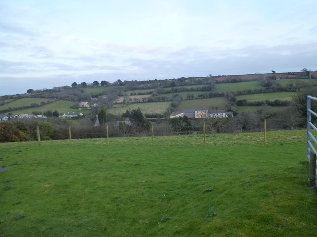
Baldhu is known for its picturesque setting, surrounded by rolling hills and lush green landscapes. The village itself is characterized by a collection of charming stone cottages and traditional buildings, which add to its quaint and rural atmosphere.

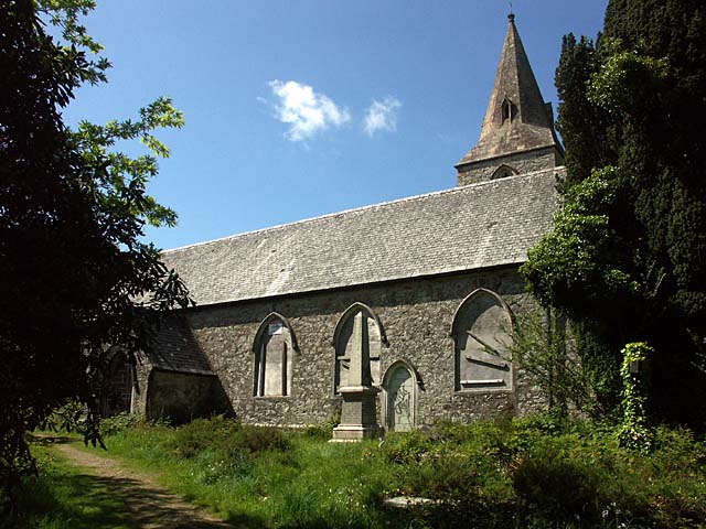
One of the notable landmarks in Baldhu is the St. Michael's Church, a historic place of worship that dates back to the 19th century. The church features an impressive stone tower and is known for its stunning stained glass windows, which depict various religious scenes.

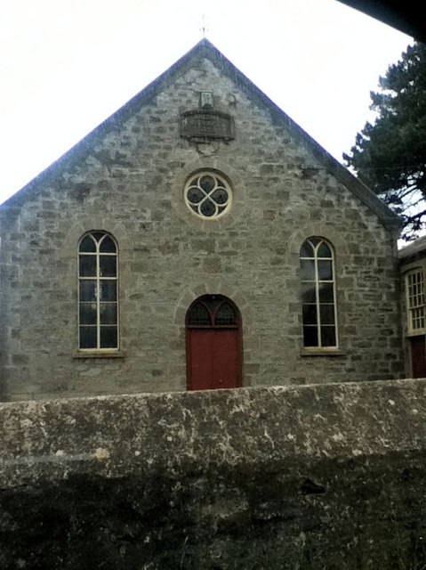
The village is also home to the Baldhu Methodist Chapel, an important religious institution that has been serving the local community for many years. The chapel hosts regular services and various community events throughout the year.

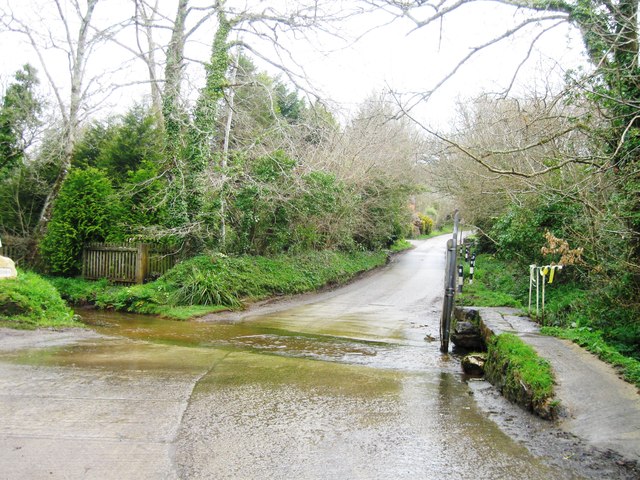
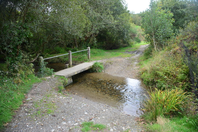
Baldhu is a popular destination for outdoor enthusiasts, with numerous walking and cycling trails in the vicinity. The surrounding countryside offers breathtaking views and opportunities to explore the natural beauty of Cornwall.

Although small in size, Baldhu offers a peaceful and tranquil escape from the hustle and bustle of city life, making it an ideal location for those seeking a quiet retreat in a picturesque rural setting.

If you have any feedback on the listing, please let us know in the comments section below.
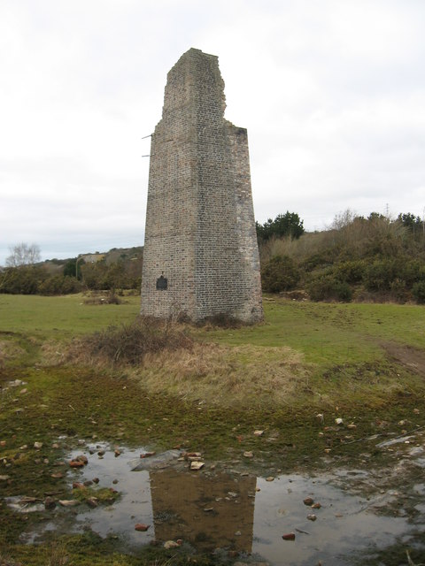
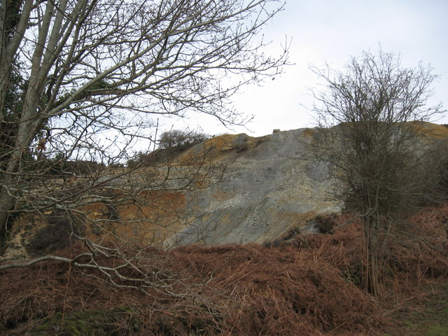
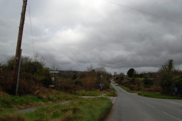
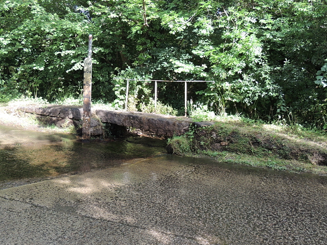
Baldhu Images

Images are sourced within 2km of 50.241936/-5.119981 or Grid Reference SW7742. Thanks to Geograph Open Source API. All images are credited.

Solar array at Wheal Jane This recently commissioned 1.4MW solar farm is apparently the UK's largest to date. It consists of 5600 photovoltaic panels on a 7.2 acre plot and is predicted to save more than 737 tonnes of CO2 per year by supplying the site's electricity requirements. The former mine now houses various commercial and industrial activities. Further similar developments have been planned for Cornwall to take advantage of its high sunshine levels but their future is now in doubt since the Government has indicated that feed-in tariff rates are to be reduced for large schemes.
Solar array at Wheal Jane
This recently commissioned 1.4MW solar farm is apparently the UK's largest to date. It consists of 5600 photovoltaic panels on a 7.2 acre plot and is predicted to save more than 737 tonnes of CO2 per year by supplying the site's electricity requirements. The former mine now houses various commercial and industrial activities. Further similar developments have been planned for Cornwall to take advantage of its high sunshine levels but their future is now in doubt since the Government has indicated that feed-in tariff rates are to be reduced for large schemes.
Footpath at Wheal Jane With a distant view of the new solar array <a href="https://www.geograph.org.uk/photo/2500442">SW7742 : Solar array at Wheal Jane</a>.
Footpath at Wheal Jane
With a distant view of the new solar array SW7742 : Solar array at Wheal Jane.
Mine shaft at Wheal Jane An open shaft which has been fitted with a protective cage.
Mine shaft at Wheal Jane
An open shaft which has been fitted with a protective cage.
Towards Threemilestone The railway crosses a small side valley south of the accurately named village of Threemilestone (three miles from Truro) atop the hill.
This photo was taken from the 1158 Penzance to London Paddington train, having left Redruth at 1231.
Towards Threemilestone
The railway crosses a small side valley south of the accurately named village of Threemilestone (three miles from Truro) atop the hill. This photo was taken from the 1158 Penzance to London Paddington train, having left Redruth at 1231.
Chimney, Point Mills Arsenic Refinery, Bissoe
Spoil heap, Nangiles mine
Road into Bissoe
Road into Bissoe
Track to Twelveheads
Bridge and ford Carnon Valley Crossing a tributary to the Carnon River.
Bridge and ford Carnon Valley
Crossing a tributary to the Carnon River.
Ford near Higher Carnon Farm
Railway Bridge
Railway Bridge
Country Lane
Country Lane
Railway Bridge
Railway Bridge
Road junction, Bissoe
Looking south towards Hick's Mill
Hugus Ford This ford is found at Hugus near Threemilestone.
Hugus Ford
This ford is found at Hugus near Threemilestone.
Carnon Downs Ford This ford is found beside the entrance to Chycara Farm where you can get a 'Moontree Massage' according to the sign at the drive end.
Carnon Downs Ford
This ford is found beside the entrance to Chycara Farm where you can get a 'Moontree Massage' according to the sign at the drive end.
Baldhu Christian Chapel Built as Wesleyan in 1889
Baldhu Christian Chapel
Built as Wesleyan in 1889
Show me another place!

Baldhu is located at Grid Ref: SW7742 (Lat: 50.241936, Lng: -5.119981)

Unitary Authority: Cornwall

Police Authority: Devon and Cornwall

What 3 Words

///booms.meal.watch. Near Chacewater, Cornwall

Nearby Locations

Baldhu

Related Wikis

Wheal Jane

Wheal Jane is a disused tin mine near Baldhu and Chacewater in West Cornwall, England, United Kingdom. The area itself consisted of a large number of mines...

Baldhu

Baldhu (; Cornish: Bal Du, meaning black mine) is a village and parish in Cornwall, England, United Kingdom. It is in the civil parish of Kea. The parish...
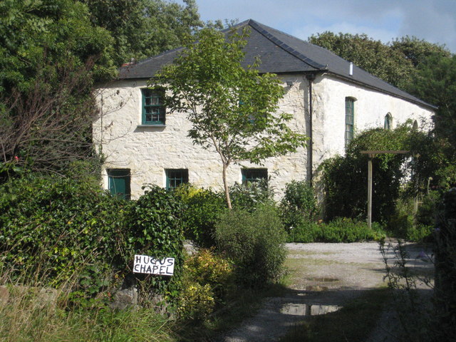
Hugus

Hugus (Cornish: Ughgos) is a hamlet in west Cornwall, England, United Kingdom. It is three miles (5 km) west of Truro. It is in the civil parish of Kea...
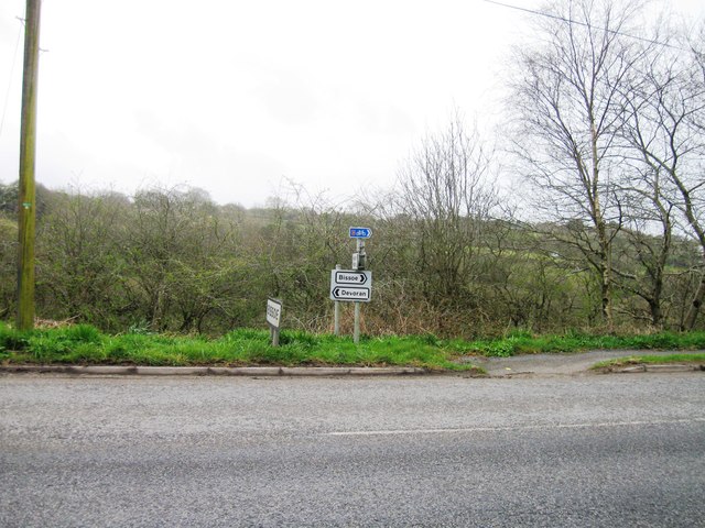
Bissoe

Bissoe (Cornish: Besow, meaning birch trees) is a hamlet in west Cornwall, England, United Kingdom. It is situated five miles (8 km) east of Redruth in...

Nearby Amenities

Located within 500m of 50.241936,-5.119981
Baldhu
Is In County: Cornwall
Name En: Baldhu
Name Kw: Baldu
Place: hamlet
Source: OS_OpenData_StreetView
Wikidata: Q4850430
Lat/Long: 50.2438503/-5.1233831
Wheal Jane
Man Made: mine
Source: OS_OpenData_StreetView
Wikidata: Q7991796
Wikipedia: en:Wheal Jane
Lat/Long: 50.2417983/-5.1251748
Power: tower
Lat/Long: 50.2442168/-5.1172205
Power: tower
Lat/Long: 50.2377633/-5.1193826
Power: tower
Lat/Long: 50.240635/-5.1186045
Power: tower
Lat/Long: 50.2423505/-5.1181485
Power: tower
Lat/Long: 50.239163/-5.1189856
Post Box
Brand: Royal Mail
Brand Wikidata: Q638098
Collection Times: Mo-Fr 16:00; Sa 09:30; Su off
Drive Through: no
Operator: Royal Mail
Operator Wikidata: Q638098
Post Box Design: type_c
Post Box Mounting: stone_wall
Post Box Type: wall
Ref: TR3 33
Royal Cypher: VR
Royal Cypher Wikidata: Q33102356
Source: survey;streetlevel imagery;aerial imagery
Lat/Long: 50.2419577/-5.1167127
The data included in this document is from www.openstreetmap.org. The data is made available under ODbL.

Have you been to Baldhu?

Leave your review of Baldhu below (or comments, questions and feedback).