Stenbury Down
Downs, Moorland in Hampshire
England
Stenbury Down

Stenbury Down is a prominent geographical feature located in Hampshire, England. It is a part of the larger South Downs National Park and encompasses an area of approximately 6 square kilometers. Situated within the Isle of Wight Area of Outstanding Natural Beauty, Stenbury Down offers breathtaking views and diverse landscapes.
The down is characterized by rolling hills, steep slopes, and extensive areas of open grassland. It is home to a variety of flora and fauna, including rare orchids, butterflies, and birds. The rich biodiversity of Stenbury Down is a result of its diverse habitats, which include woodlands, heathland, and scrubland.
The down is popular among hikers, nature enthusiasts, and birdwatchers, who appreciate its tranquil atmosphere and stunning vistas. Several well-maintained footpaths and bridleways crisscross the area, allowing visitors to explore its beauty and enjoy the fresh air.
Historically, Stenbury Down has been utilized for agriculture, with evidence of ancient farming practices still visible today. The down also holds archaeological significance, with a number of Iron Age hillforts and burial mounds found in the vicinity.
Stenbury Down offers a peaceful retreat from the hustle and bustle of urban life. Its unspoiled beauty and natural charm make it a cherished natural landscape in Hampshire. Whether it's for a leisurely stroll, a picnic, or simply to admire the stunning views, Stenbury Down continues to captivate visitors with its timeless allure.
If you have any feedback on the listing, please let us know in the comments section below.
Stenbury Down Images
Images are sourced within 2km of 50.609148/-1.2432113 or Grid Reference SZ5379. Thanks to Geograph Open Source API. All images are credited.


Stenbury Down is located at Grid Ref: SZ5379 (Lat: 50.609148, Lng: -1.2432113)
Unitary Authority: Isle of Wight
Police Authority: Hampshire
What 3 Words
///adopters.hired.paying. Near Wroxall, Isle of Wight
Nearby Locations
Related Wikis

Stenbury Down
Stenbury Down is a chalk down on the Isle of Wight. It is located close to the town of Ventnor, in the southeast of the island, and rises to 226 metres...
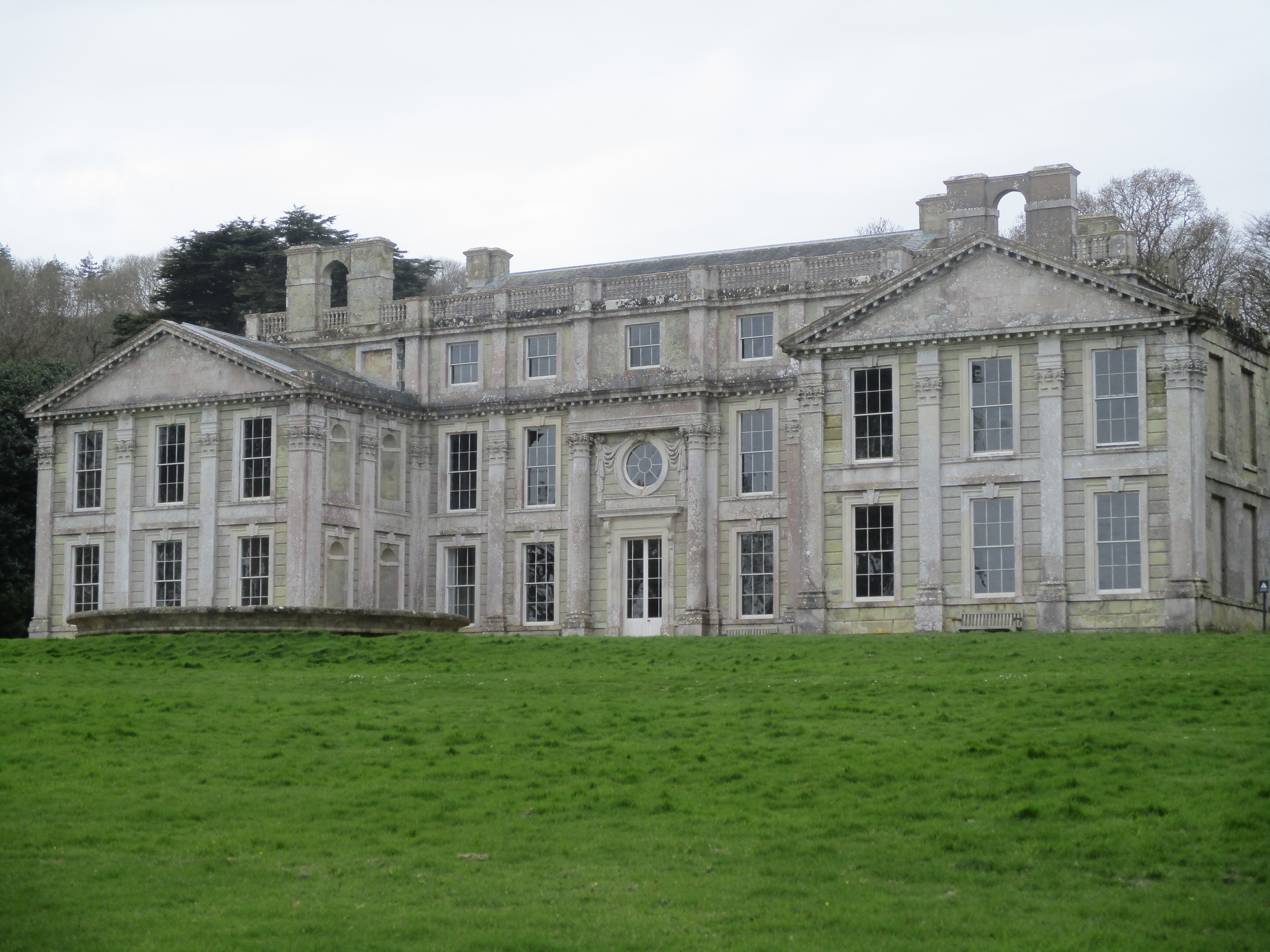
Appuldurcombe House
Appuldurcombe House (also spelt Appledorecombe or Appledore Combe) is the shell of a large 18th-century English Baroque country house of the Worsley family...
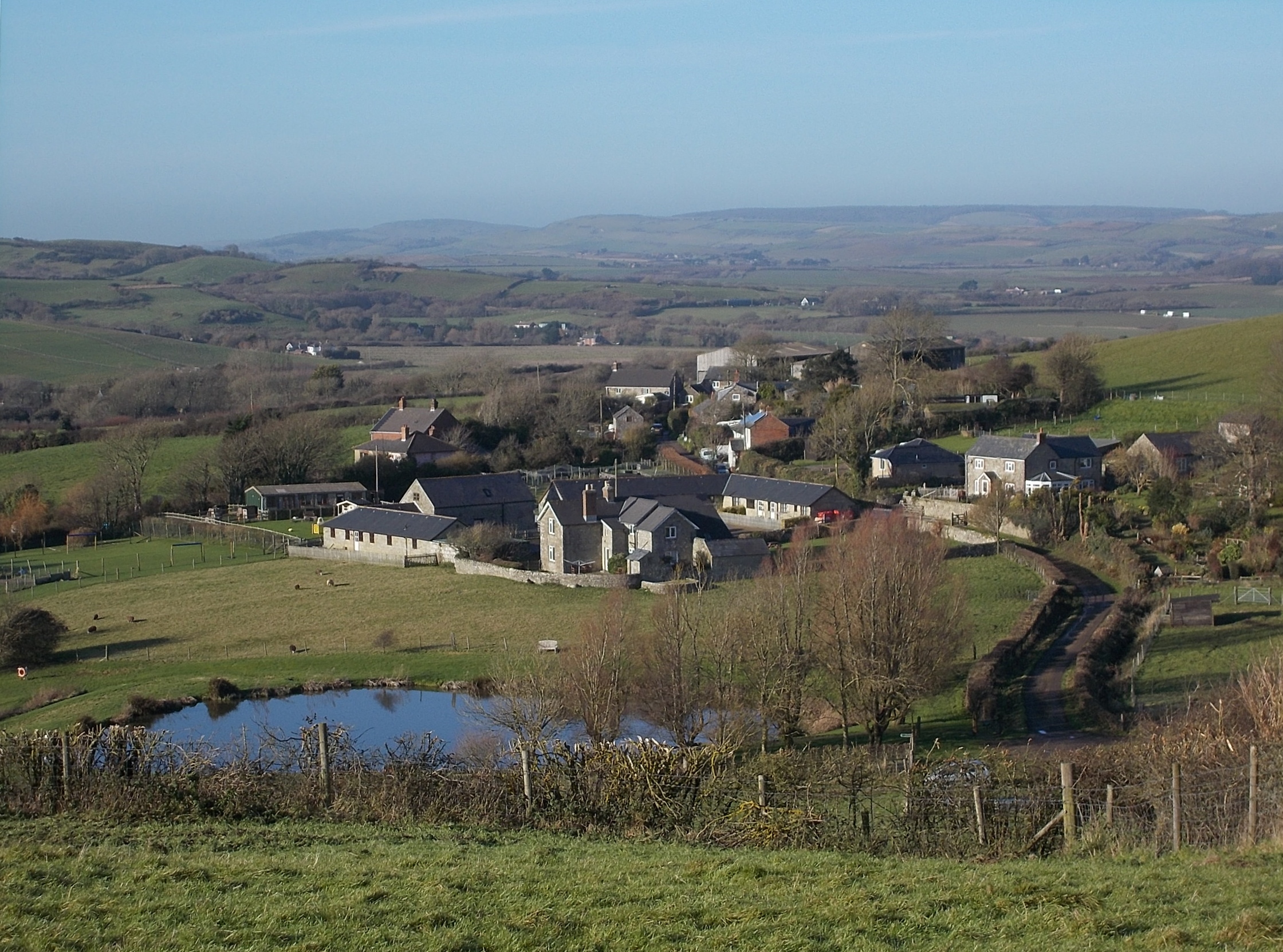
Nettlecombe, Isle of Wight
Nettlecombe is a farming hamlet on the Isle of Wight. It is the site of a deserted medieval village and there is evidence of earthworks close to the present...
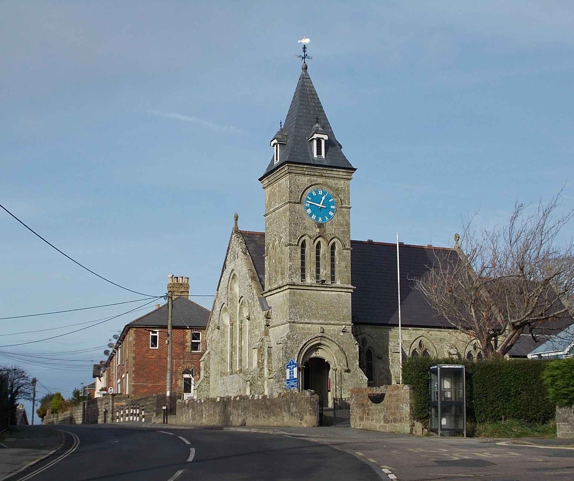
Wroxall, Isle of Wight
Wroxall is a village and civil parish in the central south of the Isle of Wight. It is close to Appuldurcombe House.The parish church is St. John's Church...
Nearby Amenities
Located within 500m of 50.609148,-1.2432113Have you been to Stenbury Down?
Leave your review of Stenbury Down below (or comments, questions and feedback).