Beningbrough Moor
Downs, Moorland in Yorkshire Hambleton
England
Beningbrough Moor
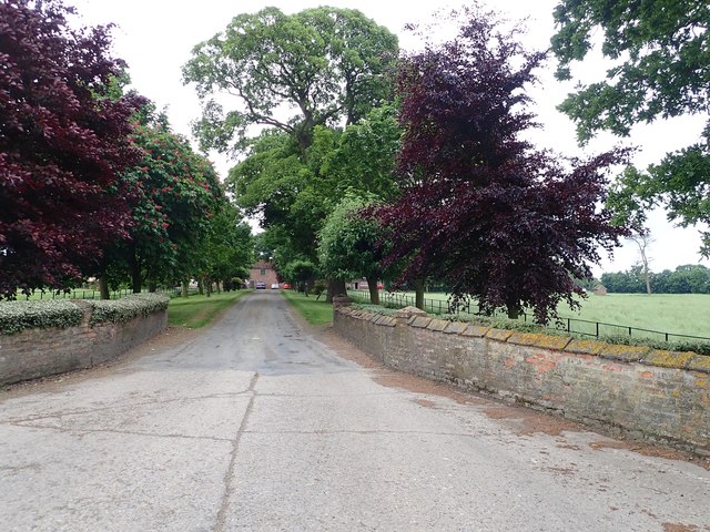
Beningbrough Moor is a picturesque expanse of moorland located in the county of Yorkshire, England. Situated near the village of Beningbrough, it is a popular destination for nature enthusiasts, hikers, and birdwatchers alike.
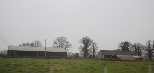
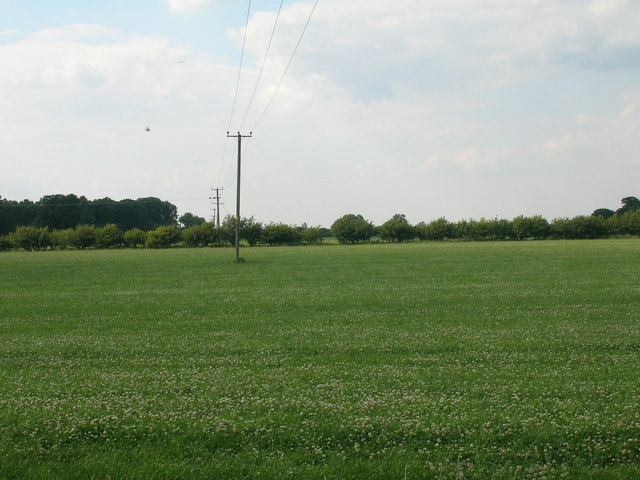
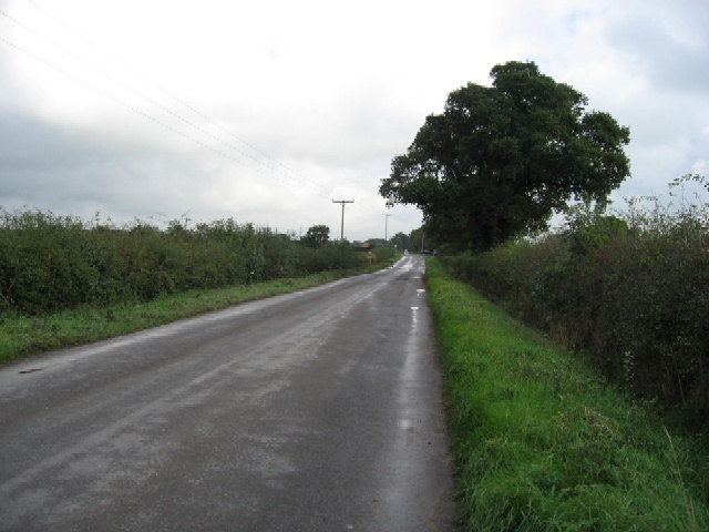
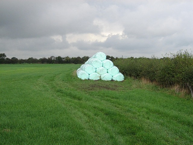
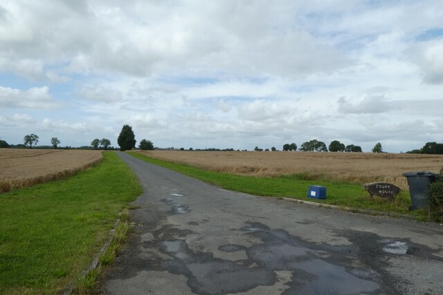
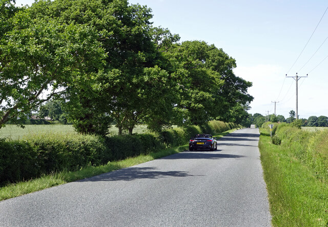
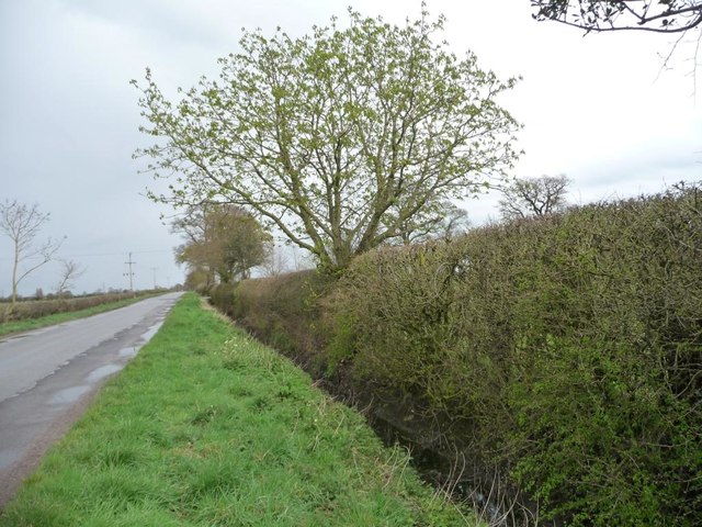
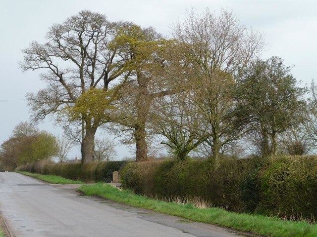
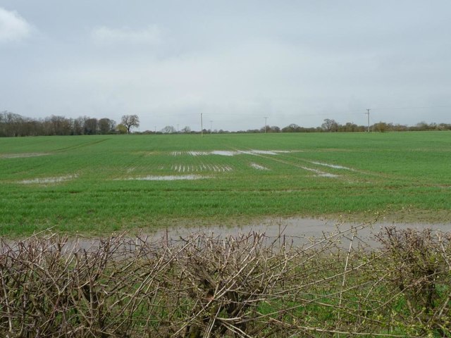
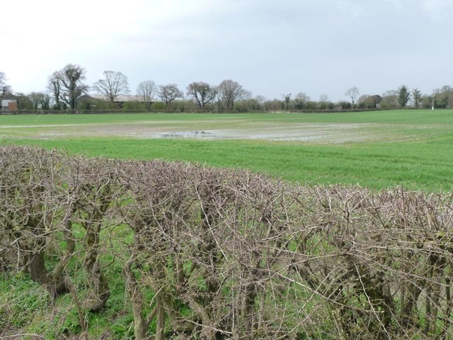
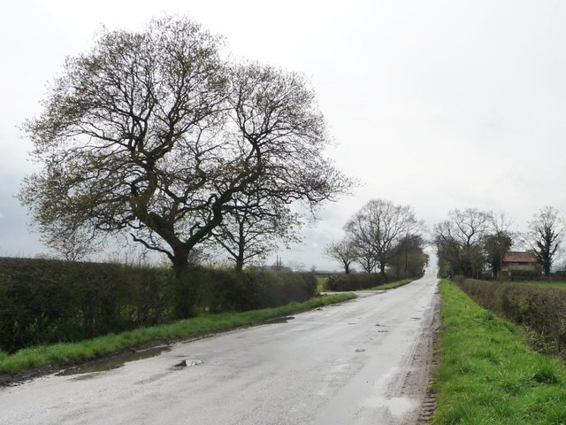
Covering an area of approximately 500 acres, Beningbrough Moor offers a diverse landscape of rolling hills, heather-covered moorland, and scattered woodlands. The moor is characterized by its open, windswept terrain, providing visitors with breathtaking panoramic views of the surrounding countryside.
The moorland is home to a rich variety of flora and fauna, making it a haven for wildlife. Visitors can spot a range of bird species, including skylarks, lapwings, and curlews, which nest and forage in the open grasslands. The moorland also supports a diverse range of plant life, including heather, gorse, and bilberry, adding vibrant splashes of color to the landscape.
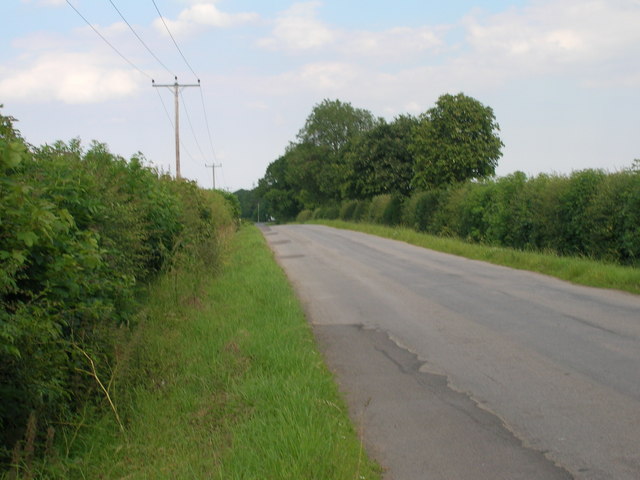
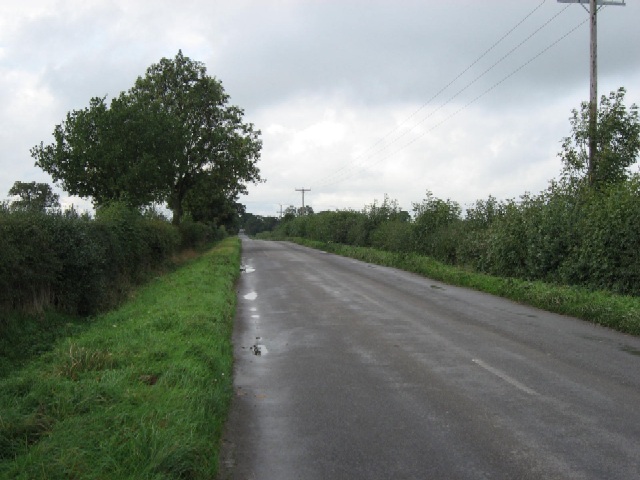
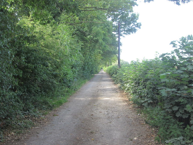
Walking trails crisscross the moor, allowing visitors to explore its natural beauty at their own pace. The trails cater to different abilities, from leisurely strolls to more challenging hikes, ensuring there is something for everyone to enjoy. Along the way, walkers may encounter the ruins of a medieval chapel, adding a touch of history to their outdoor adventure.
Beningbrough Moor is not only a natural paradise but also an important habitat for wildlife conservation. The moor is managed by local conservation organizations, who work tirelessly to protect and enhance the area's biodiversity.
With its stunning scenery, abundant wildlife, and tranquil atmosphere, Beningbrough Moor is a true gem in the heart of Yorkshire, offering visitors a chance to connect with nature and discover the beauty of the moorland landscape.
If you have any feedback on the listing, please let us know in the comments section below.
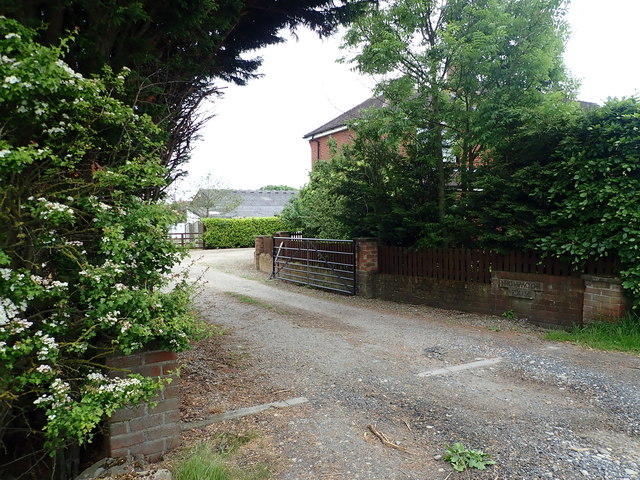
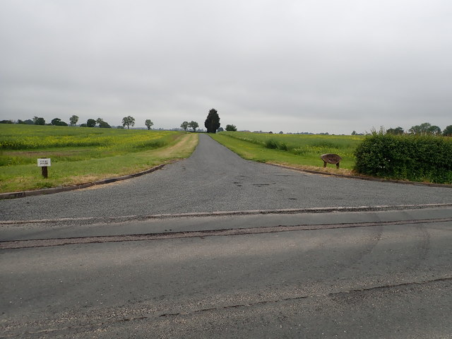
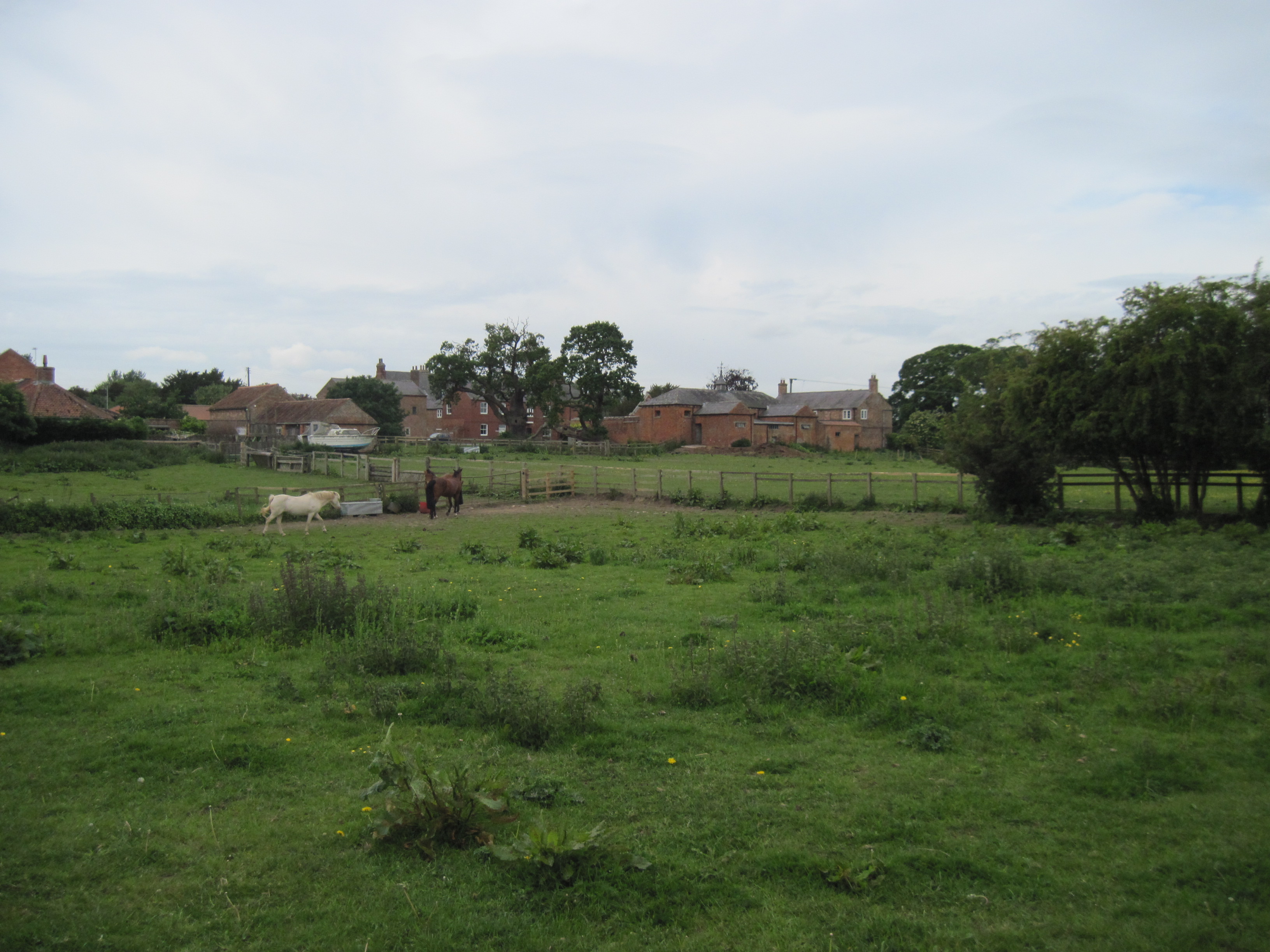
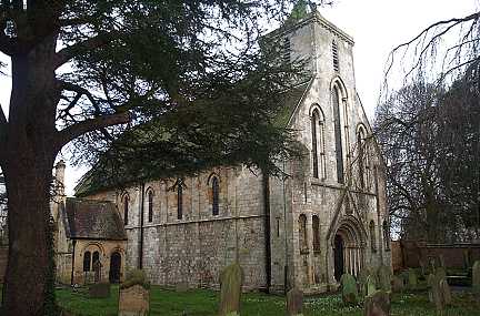
Beningbrough Moor Images
Images are sourced within 2km of 54.019265/-1.1825106 or Grid Reference SE5358. Thanks to Geograph Open Source API. All images are credited.
Beningbrough Moor is located at Grid Ref: SE5358 (Lat: 54.019265, Lng: -1.1825106)
Division: North Riding
Administrative County: North Yorkshire
District: Hambleton
Police Authority: North Yorkshire
What 3 Words
///police.intruding.reported. Near Skelton, North Yorkshire
Nearby Locations
Related Wikis

Beningbrough
Beningbrough is a village and civil parish in the Hambleton district of North Yorkshire, England. The population as taken at the 2011 Census was less than...

Beningbrough railway station
Beningbrough railway station was on the East Coast Main Line that served the village of Beningbrough, North Yorkshire, England from 1841 to 1965. ��2...
Red House, Moor Monkton
The Red House is a historic building in Moor Monkton, north-west of York in England. == History == The first Red House was constructed before 1342, when...

Shipton, North Yorkshire
Shipton (also known as Shipton-by-Beningbrough) is a village and civil parish in the Hambleton district of North Yorkshire, England, about 5 miles (8 km...

Vale of York
The Vale of York is an area of flat land in the northeast of England. The vale is a major agricultural area and serves as the main north–south transport...

River Nidd
The River Nidd is a tributary of the River Ouse in the English county of North Yorkshire. In its first few miles it is dammed three times to create Angram...
St Mary's Church, Nun Monkton
St Mary's Church is the parish church of Nun Monkton, in North Yorkshire, in England. == History == Nun Monkton Priory was founded in 1172 by Ivetta of...

Nun Monkton
Nun Monkton is a village and civil parish in the Harrogate district of North Yorkshire, England. It is situated 8 miles (13 km) northwest of York at the...
Nearby Amenities
Located within 500m of 54.019265,-1.1825106Have you been to Beningbrough Moor?
Leave your review of Beningbrough Moor below (or comments, questions and feedback).