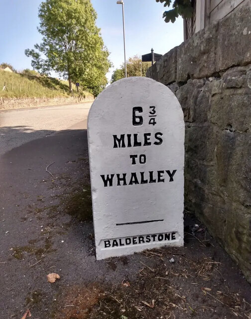
Balderstone
Settlement in Lancashire Ribble Valley
England
Balderstone
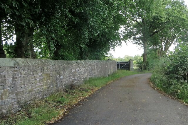
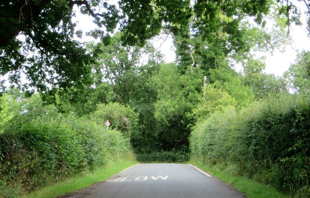
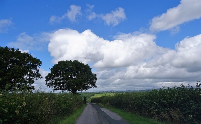
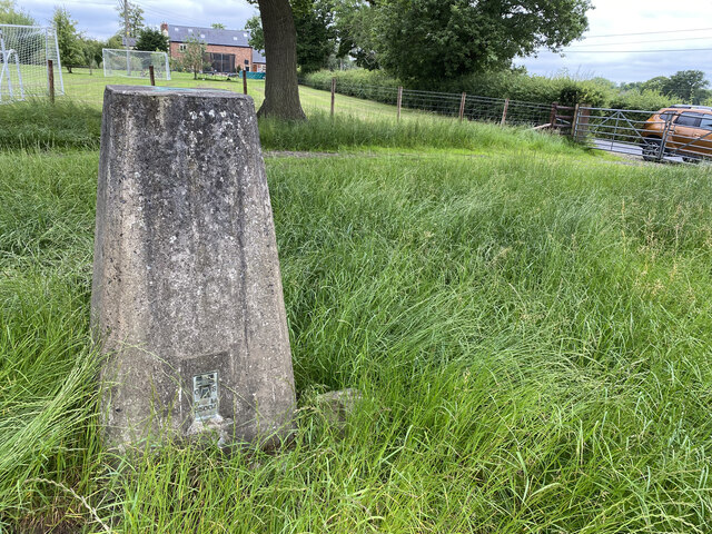
Balderstone is a small village located in the county of Lancashire, England. It is situated about 5 miles north of the city of Preston and falls within the administrative boundaries of Ribble Valley Borough Council. The village is nestled in a picturesque rural setting, surrounded by rolling hills and lush green countryside.
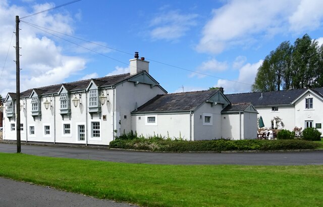
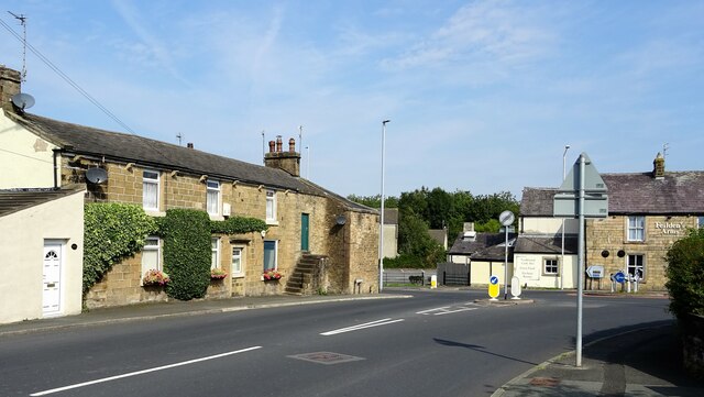
With a population of around 1,000 residents, Balderstone maintains a close-knit community atmosphere. The village is known for its charming, traditional stone houses and cottages, giving it a timeless and idyllic feel. The local architecture reflects the area's rich history, with some buildings dating back to the 17th century.
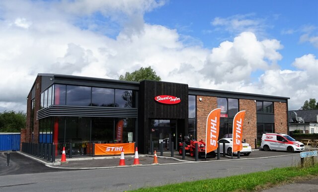
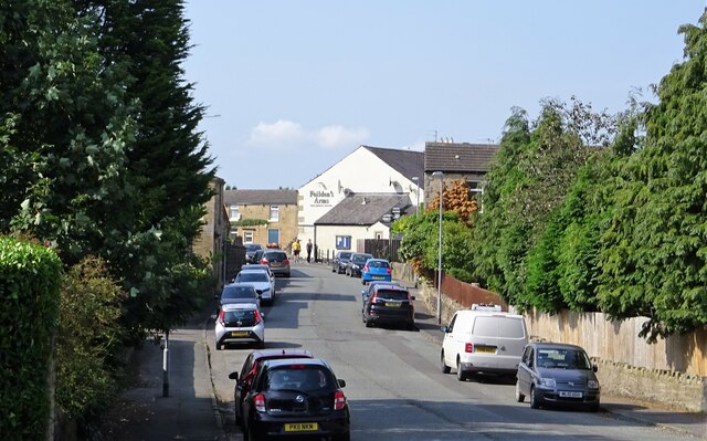
Despite its small size, Balderstone offers a range of amenities to its residents. These include a village hall, a primary school, a church, and a local pub. The village hall serves as a hub for community activities and events, while the primary school provides education for young children.
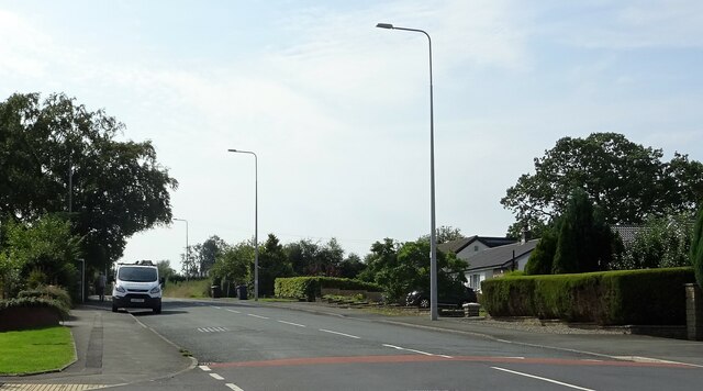
Balderstone is also conveniently located near major transport links, making it an ideal place for commuters. The village is within easy reach of the M6 motorway, providing quick access to cities like Manchester and Liverpool. Additionally, the nearby train stations of Preston and Blackburn offer regular services to other parts of the country.
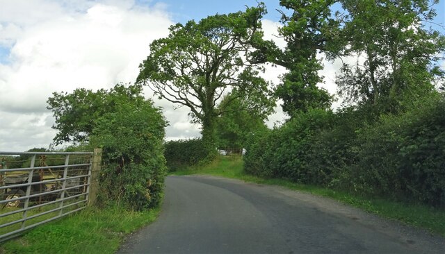
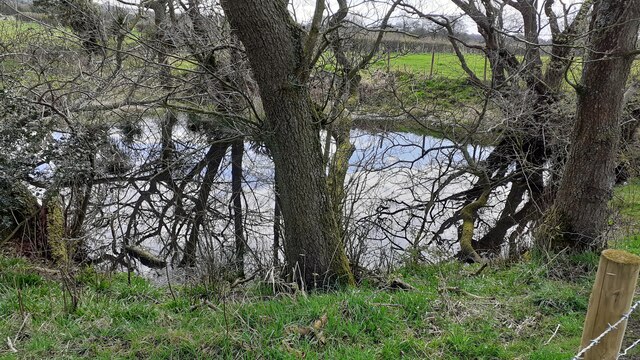
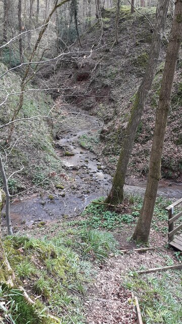
For outdoor enthusiasts, Balderstone boasts beautiful countryside surroundings, offering opportunities for walking, cycling, and exploring nature. The village is also close to popular attractions such as the Forest of Bowland, a designated Area of Outstanding Natural Beauty, and the Ribble Valley, known for its stunning landscapes and picturesque villages.
In summary, Balderstone is a charming village in Lancashire, offering a peaceful and rural lifestyle within reach of urban amenities and natural beauty.
If you have any feedback on the listing, please let us know in the comments section below.
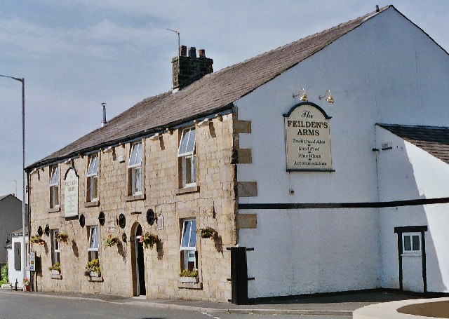
Balderstone Images
Images are sourced within 2km of 53.788829/-2.5661227 or Grid Reference SD6232. Thanks to Geograph Open Source API. All images are credited.

Balderstone is located at Grid Ref: SD6232 (Lat: 53.788829, Lng: -2.5661227)
Administrative County: Lancashire
District: Ribble Valley
Police Authority: Lancashire
What 3 Words
///ruler.looms.pillows. Near Longridge, Lancashire
Nearby Locations
Related Wikis

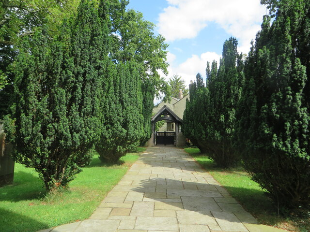
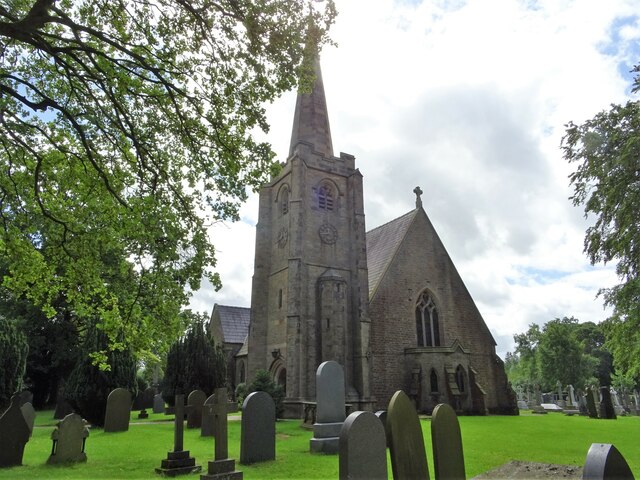
St Leonard's Church, Balderstone
St Leonard's Church is in the village of Balderstone, Lancashire, England. It is an active Anglican parish church in the deanery of Whalley, the archdeaconry...

Balderstone, Lancashire
Balderstone is a village and civil parish in the Ribble Valley district of Lancashire, England. The population of the Civil Parish taken at the 2021 census...

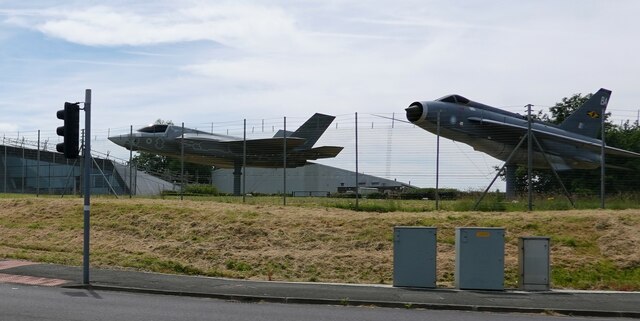
Samlesbury Aerodrome
Samlesbury Aerodrome is a disused airfield at Balderstone near Samlesbury and Blackburn in the Ribble Valley district of Lancashire. The aerodrome is owned...

Mellor Brook
Mellor Brook is a village which straddles the borders of the Boroughs of Ribble Valley and South Ribble in Lancashire, England. The village population...

Osbaldeston
Osbaldeston is a village and civil parish in Lancashire, England about 3+1⁄4 miles (5.2 km) north-west of Blackburn and 7 miles (11.3 km) east of Preston...
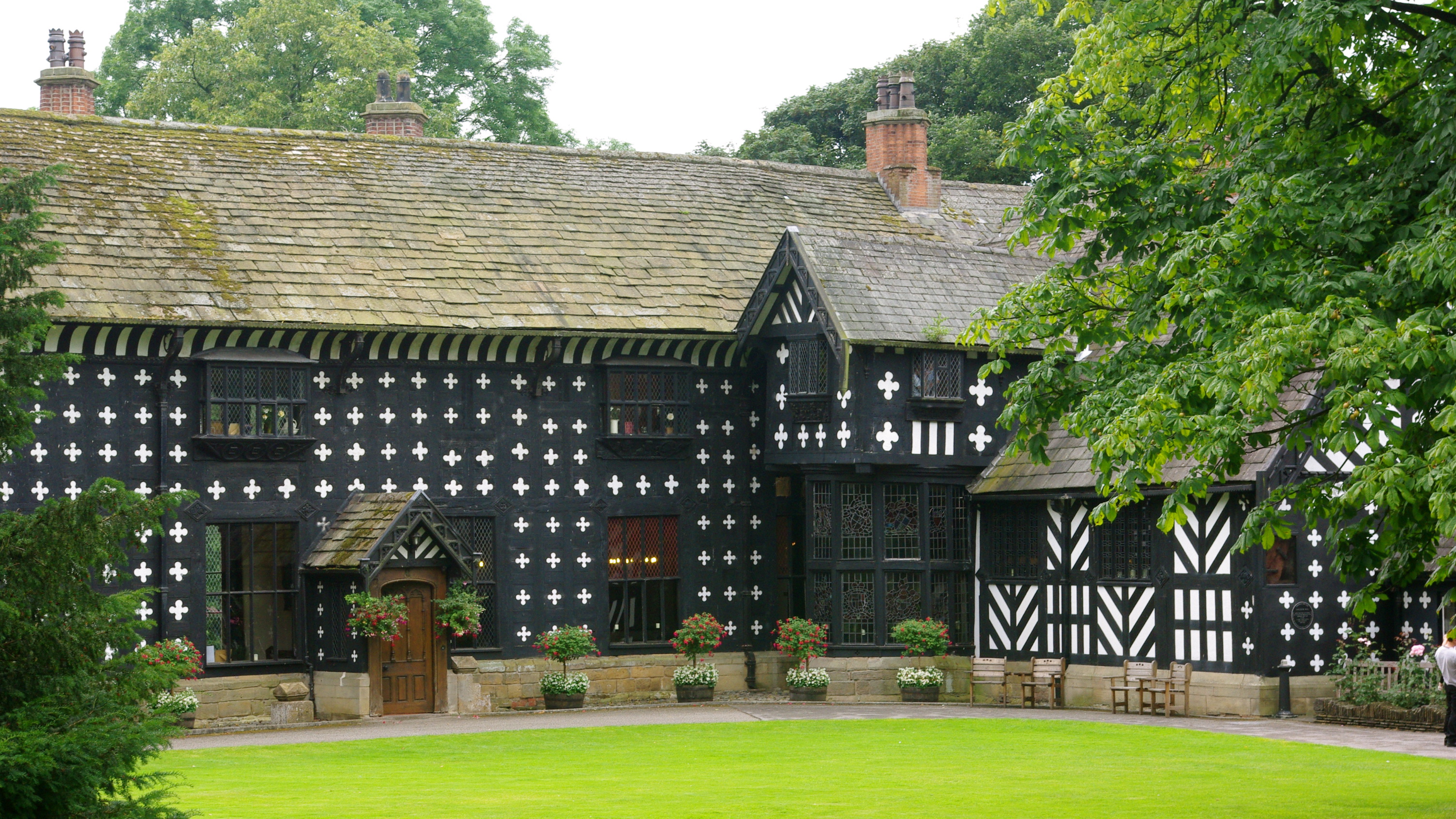
Samlesbury Hall
Samlesbury Hall is a historic house in Samlesbury, Lancashire, England, six miles (10 km) east of Preston. It was built in 1325 by Gilbert de Southworth...

Alston Hall
Alston Hall is a 19th-century Victorian gothic style country mansion located in Longridge (near Preston) in Lancashire, England. It is not to be confused...

Lancashire dialect
The Lancashire dialect (or colloquially, Lanky) refers to the Northern English vernacular speech of the English county of Lancashire. The region is notable...
Nearby Amenities
Located within 500m of 53.788829,-2.5661227Have you been to Balderstone?
Leave your review of Balderstone below (or comments, questions and feedback).