Balderstone
Civil Parish in Lancashire Ribble Valley
England
Balderstone
Balderstone is a civil parish located in the county of Lancashire, in the northwest region of England. Situated about 3 miles northeast of the town of Blackburn, it covers an area of approximately 2.5 square miles. The parish is part of the borough of Ribble Valley.
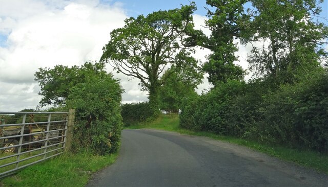
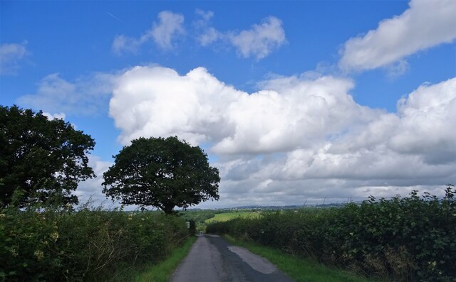
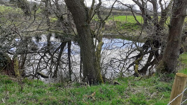
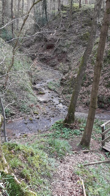
With a population of around 900 people, Balderstone is a small and close-knit community. The area is primarily residential, with a mix of traditional stone-built houses and more modern properties. The parish is surrounded by picturesque countryside, providing residents with scenic views and opportunities for outdoor activities.
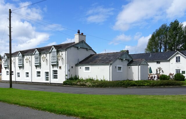
The village of Balderstone itself is centered around a small cluster of shops and amenities, including a post office, a convenience store, and a primary school. The parish also has a village hall that serves as a hub for community events and social gatherings.
Balderstone is well connected to nearby towns and cities. The A677 road runs through the parish, providing easy access to Blackburn and the wider motorway network. The nearest train station is in Blackburn, offering regular services to destinations such as Manchester and Preston.
The parish is known for its rich history, with evidence of human settlement dating back to the Bronze Age. There are several notable landmarks in the area, including Balderstone Hall, a Grade II listed building that dates back to the 17th century.
Overall, Balderstone is a peaceful and charming civil parish that offers residents a rural lifestyle while still being within reach of urban amenities.
If you have any feedback on the listing, please let us know in the comments section below.
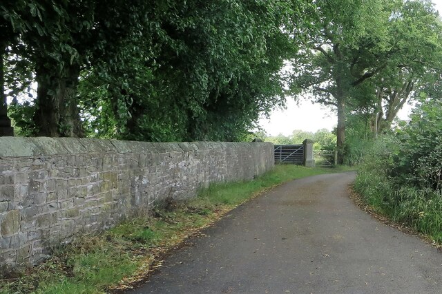
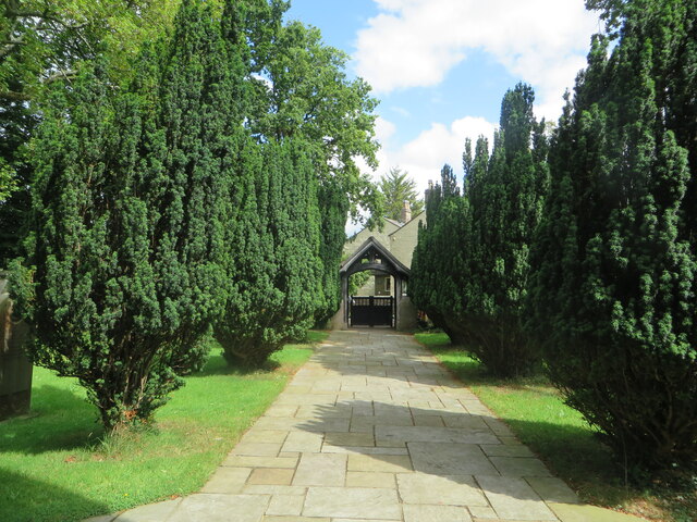
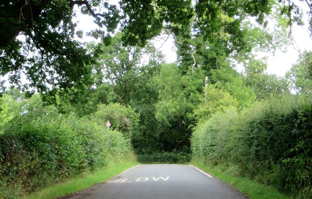
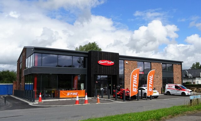
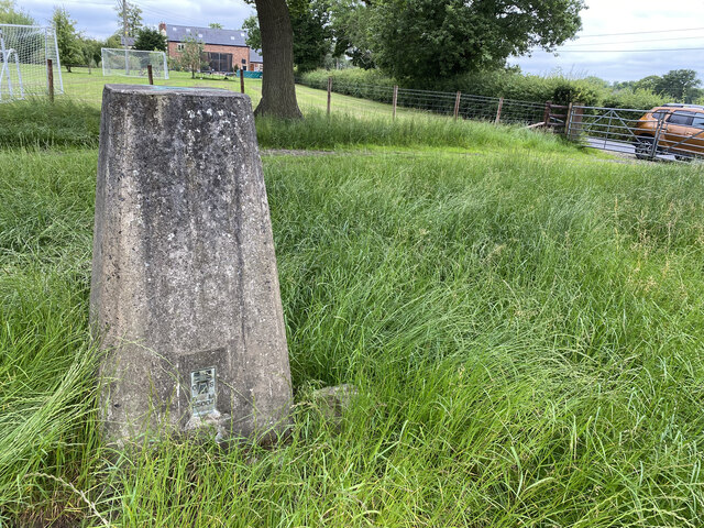
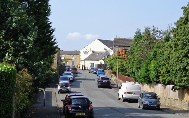
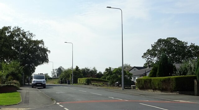
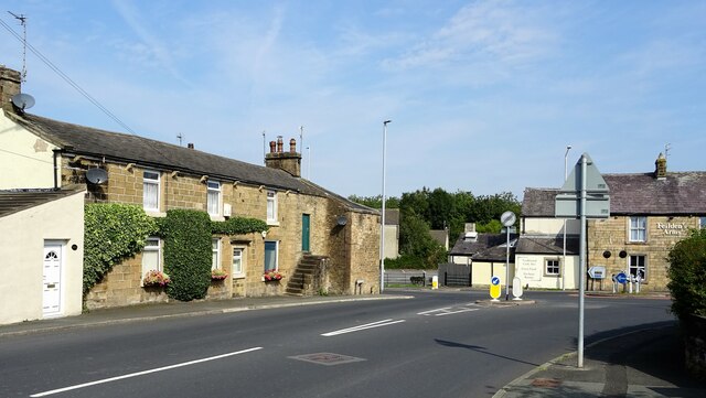
Balderstone Images
Images are sourced within 2km of 53.786363/-2.570233 or Grid Reference SD6232. Thanks to Geograph Open Source API. All images are credited.
Balderstone is located at Grid Ref: SD6232 (Lat: 53.786363, Lng: -2.570233)
Administrative County: Lancashire
District: Ribble Valley
Police Authority: Lancashire
What 3 Words
///truly.deaf.golden. Near Longridge, Lancashire
Nearby Locations
Related Wikis

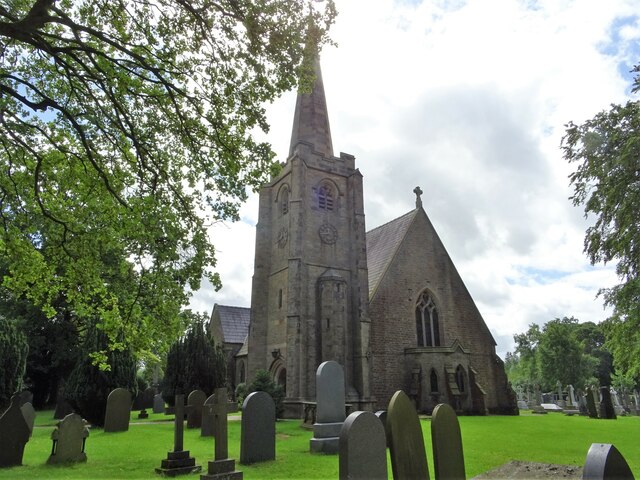
St Leonard's Church, Balderstone
St Leonard's Church is in the village of Balderstone, Lancashire, England. It is an active Anglican parish church in the deanery of Whalley, the archdeaconry...

Balderstone, Lancashire
Balderstone is a village and civil parish in the Ribble Valley district of Lancashire, England. The population of the Civil Parish taken at the 2021 census...

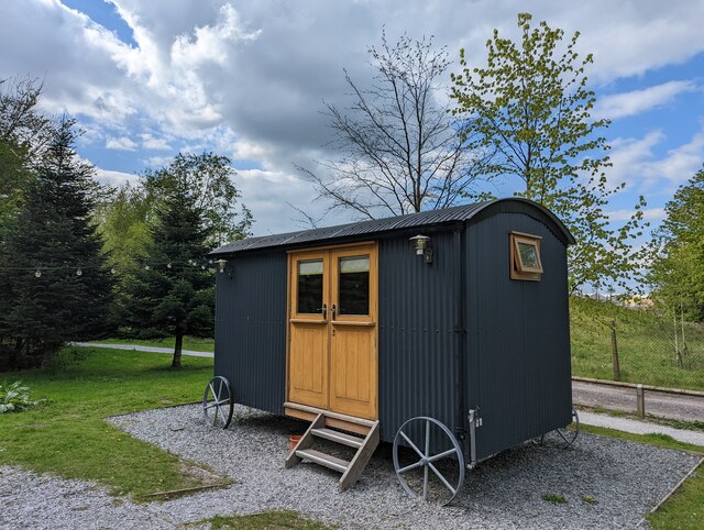
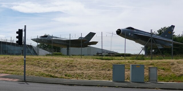
Samlesbury Aerodrome
Samlesbury Aerodrome is a disused airfield at Balderstone near Samlesbury and Blackburn in the Ribble Valley district of Lancashire. The aerodrome is owned...
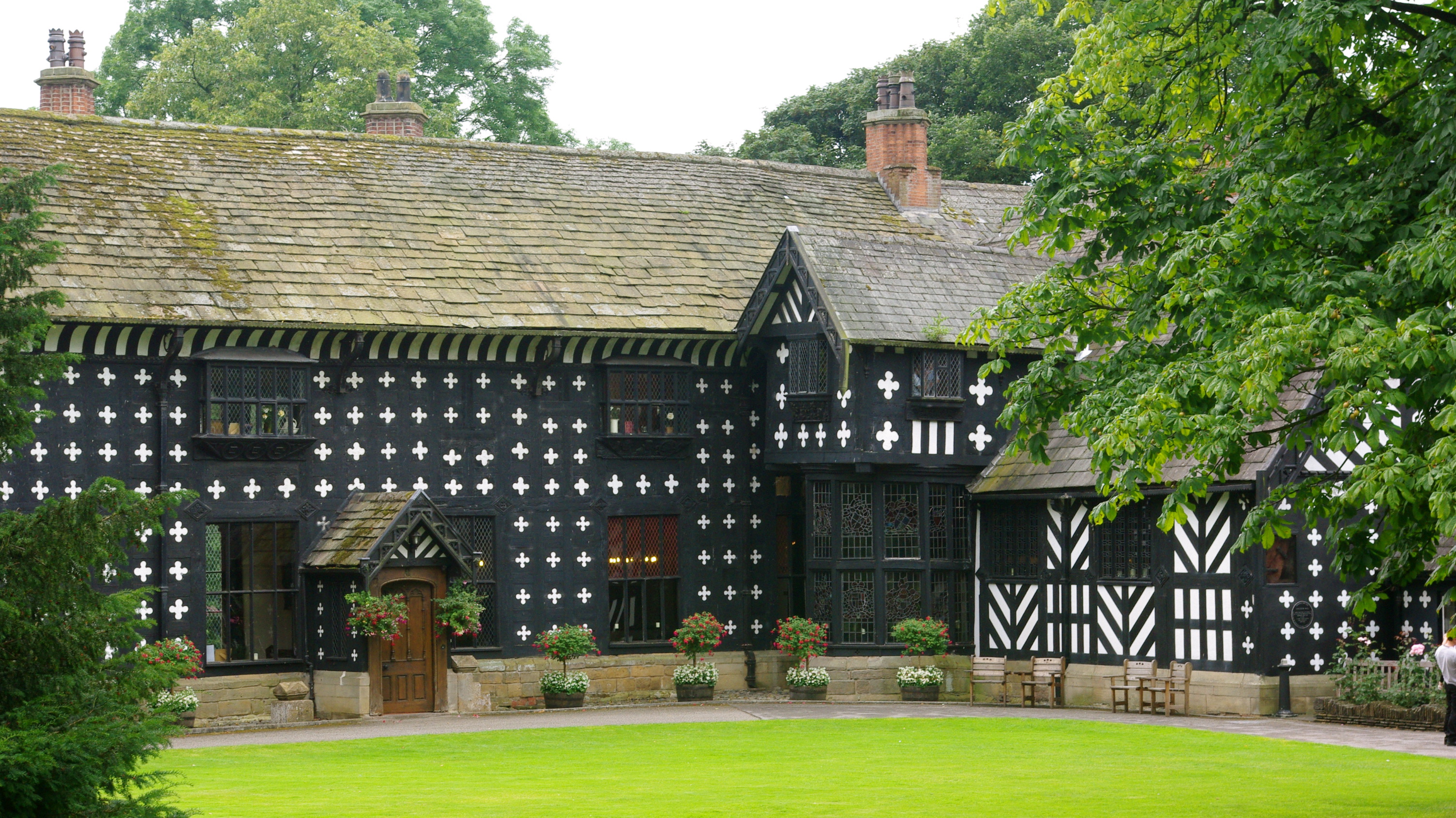
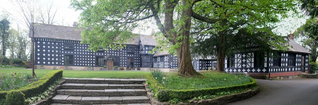
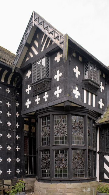
Samlesbury Hall
Samlesbury Hall is a historic house in Samlesbury, Lancashire, England, six miles (10 km) east of Preston. It was built in 1325 by Gilbert de Southworth...

Mellor Brook
Mellor Brook is a village which straddles the borders of the Boroughs of Ribble Valley and South Ribble in Lancashire, England. The village population...

Osbaldeston
Osbaldeston is a village and civil parish in Lancashire, England about 3+1⁄4 miles (5.2 km) north-west of Blackburn and 7 miles (11.3 km) east of Preston...

Alston Hall
Alston Hall is a 19th-century Victorian gothic style country mansion located in Longridge (near Preston) in Lancashire, England. It is not to be confused...

Lancashire dialect
The Lancashire dialect (or colloquially, Lanky) refers to the Northern English vernacular speech of the English county of Lancashire. The region is notable...
Nearby Amenities
Located within 500m of 53.786363,-2.570233Have you been to Balderstone?
Leave your review of Balderstone below (or comments, questions and feedback).