Richmond Wood

Wood, Forest in Lancashire Ribble Valley

England

Richmond Wood

An odd hotel Overnight accommodation at Samlesbury Hall, twixt Preston and Blackburn, is in these Shepherd's Huts.
An odd hotel Credit: Bob Harvey

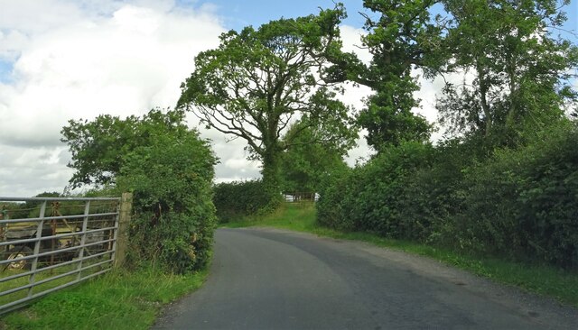
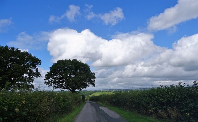
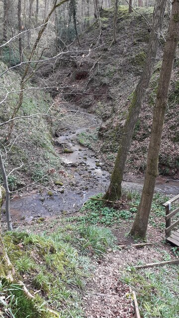
Richmond Wood is a picturesque woodland located in the county of Lancashire, England. Stretching over an area of approximately 100 hectares, this forest is a popular destination for nature enthusiasts and outdoor lovers alike.

The wood is characterized by its diverse range of tree species, including oak, beech, birch, and pine. These trees create a lush and vibrant canopy, offering a peaceful and tranquil atmosphere for visitors. The forest floor is covered with a rich carpet of ferns, bluebells, and other wildflowers, adding to the beauty and charm of the woodland.

Richmond Wood is home to a variety of wildlife, making it an ideal spot for wildlife enthusiasts and birdwatchers. Visitors may spot deer, foxes, rabbits, and a plethora of bird species, including woodpeckers, owls, and songbirds. The wood provides a natural habitat for these creatures, allowing them to thrive in their natural environment.

There are several well-maintained walking trails that wind through the wood, allowing visitors to explore its beauty at their own pace. These trails offer an opportunity to enjoy the sights and sounds of nature while immersing oneself in the peaceful surroundings. Additionally, the wood has designated picnic areas, making it an ideal spot for a family day out or a peaceful lunch amidst nature.

Richmond Wood is a true gem in Lancashire, offering visitors a chance to escape the hustle and bustle of everyday life and immerse themselves in the beauty of nature. Whether it is a leisurely stroll, birdwatching, or simply enjoying a picnic, this woodland provides a serene and enchanting experience for all who visit.

If you have any feedback on the listing, please let us know in the comments section below.

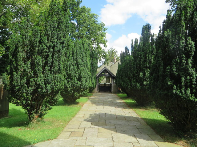
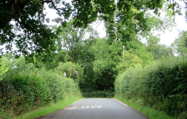
Richmond Wood Images

Images are sourced within 2km of 53.786267/-2.575468 or Grid Reference SD6232. Thanks to Geograph Open Source API. All images are credited.

An odd hotel Overnight accommodation at Samlesbury Hall, twixt Preston and Blackburn, is in these Shepherd's Huts.
An odd hotel
Overnight accommodation at Samlesbury Hall, twixt Preston and Blackburn, is in these Shepherd's Huts.
Samlesbury Hall A grade I listed building, dating in part to the 14th century - see <span class="nowrap"><a title="https://historicengland.org.uk/listing/the-list/list-entry/1361389" rel="nofollow ugc noopener" href="https://historicengland.org.uk/listing/the-list/list-entry/1361389">Link</a><img style="margin-left:2px;" alt="External link" title="External link - shift click to open in new window" src="https://s1.geograph.org.uk/img/external.png" width="10" height="10"/></span>
Samlesbury Hall
A grade I listed building, dating in part to the 14th century - see LinkExternal link
Samlesbury Hall I have no idea what this feature is called.  

This is a grade I listed building (<span class="nowrap"><a title="https://historicengland.org.uk/listing/the-list/list-entry/1361389" rel="nofollow ugc noopener" href="https://historicengland.org.uk/listing/the-list/list-entry/1361389">Link</a><img style="margin-left:2px;" alt="External link" title="External link - shift click to open in new window" src="https://s1.geograph.org.uk/img/external.png" width="10" height="10"/></span> ) owned by a charitable trust (<span class="nowrap"><a title="https://www.samlesburyhall.co.uk/" rel="nofollow ugc noopener" href="https://www.samlesburyhall.co.uk/">Link</a><img style="margin-left:2px;" alt="External link" title="External link - shift click to open in new window" src="https://s1.geograph.org.uk/img/external.png" width="10" height="10"/></span> )
Samlesbury Hall
I have no idea what this feature is called. This is a grade I listed building (LinkExternal link ) owned by a charitable trust (LinkExternal link )
Military Aeroplanes These full scale replicas of the F-35 Lightning and F-35 Lightning II are at the main gate of BAE Systems on the A59 in Samlesbury.
Military Aeroplanes
These full scale replicas of the F-35 Lightning and F-35 Lightning II are at the main gate of BAE Systems on the A59 in Samlesbury.
Lane in Balderstone Running by St. Leonard's churchyard.
Lane in Balderstone
Running by St. Leonard's churchyard.
Lych gate at St. Leonard's church From the church's porch doorway.
Lych gate at St. Leonard's church
From the church's porch doorway.
Commons Lane in Balderstone
Stuart Taylor retail store A retailer of mowing machines and other small agricultural machinery on Whalley Road (A59) near Samlesbury.
Stuart Taylor retail store
A retailer of mowing machines and other small agricultural machinery on Whalley Road (A59) near Samlesbury.
The Bluebird Inn A pub and hotel on the A59 in Samlesbury.
The Bluebird Inn
A pub and hotel on the A59 in Samlesbury.
Nightfield Lane In Balderstone.
Nightfield Lane
In Balderstone.
Nightfield Lane Near Sunderland Hall Farm.
Nightfield Lane
Near Sunderland Hall Farm.
St. Leonard's church Balderstone's parish church in the deanery of Whalley.
St. Leonard's church
Balderstone's parish church in the deanery of Whalley.
Lane Ends Trig Point Flush Bracket S5004
Streams meeting - Merceyfield Wood The merging of two streams in Merceyfield Wood
Streams meeting - Merceyfield Wood
The merging of two streams in Merceyfield Wood
Samlesbury Hall Samlesbury Hall is a Tudor mansion house and something of a local icon, home to the noble Southworth family during Early Modern times. Today, it serves as a community hub and event venue, with plenty going on for people of all ages.
Samlesbury Hall
Samlesbury Hall is a Tudor mansion house and something of a local icon, home to the noble Southworth family during Early Modern times. Today, it serves as a community hub and event venue, with plenty going on for people of all ages.
Balderstone School Village school on Commons Lane
Balderstone School
Village school on Commons Lane
St Leonard's, Balderstone 1854 parish church replacing older foundation dating from ca 1504
St Leonard's, Balderstone
1854 parish church replacing older foundation dating from ca 1504
Lane Ends, Balderstone Old barn on the corner of Commons Lane and Hightfield Lane (sic)
Lane Ends, Balderstone
Old barn on the corner of Commons Lane and Hightfield Lane (sic)
Show me another place!

Richmond Wood is located at Grid Ref: SD6232 (Lat: 53.786267, Lng: -2.575468)

Administrative County: Lancashire

District: Ribble Valley

Police Authority: Lancashire

What 3 Words

///sheds.escape.shovels. Near Longridge, Lancashire
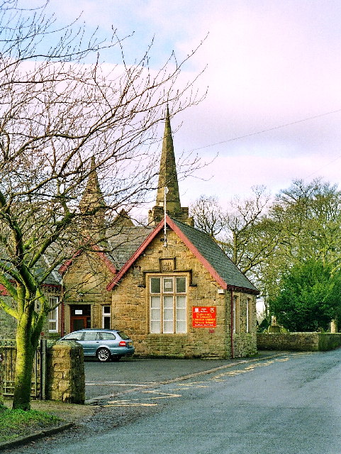
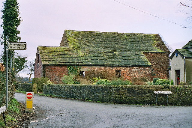
Related Wikis

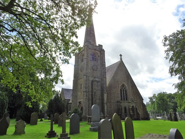
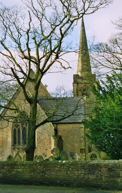
St Leonard's Church, Balderstone

St Leonard's Church is in the village of Balderstone, Lancashire, England. It is an active Anglican parish church in the deanery of Whalley, the archdeaconry...

Balderstone, Lancashire

Balderstone is a village and civil parish in the Ribble Valley district of Lancashire, England. The population of the Civil Parish taken at the 2021 census...

Samlesbury Aerodrome

Samlesbury Aerodrome is a disused airfield at Balderstone near Samlesbury and Blackburn in the Ribble Valley district of Lancashire. The aerodrome is owned...
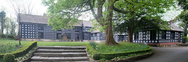
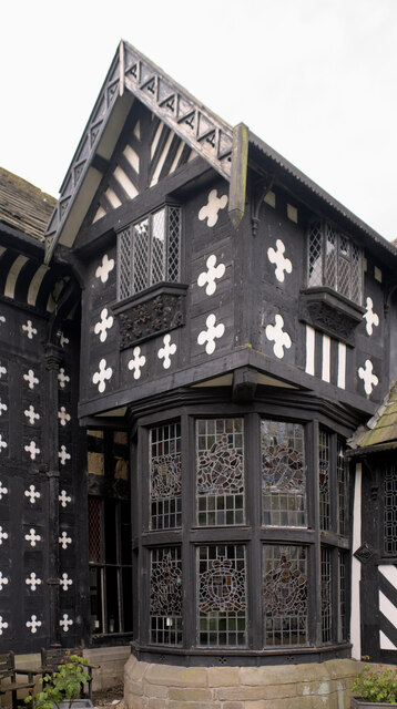
Samlesbury Hall

Samlesbury Hall is a historic house in Samlesbury, Lancashire, England, six miles (10 km) east of Preston. It was built in 1325 by Gilbert de Southworth...

Alston Hall

Alston Hall is a 19th-century Victorian gothic style country mansion located in Longridge (near Preston) in Lancashire, England. It is not to be confused...

Lancashire dialect

The Lancashire dialect (or colloquially, Lanky) refers to the Northern English vernacular speech of the English county of Lancashire. The region is notable...

Rock FM (Lancashire)

Rock FM is an Independent Local Radio station based in Manchester, England, owned and operated by Bauer as part of the Hits Radio network. It broadcasts...

Lancashire

Lancashire ( LAN-kə-shər, -⁠sheer; abbreviated Lancs) is a ceremonial county in North West England. It is bordered by Cumbria to the north, North Yorkshire...

Nearby Amenities

Located within 500m of 53.786267,-2.575468
Jackson's Banks
Created By: Potlatch 0.6
Is In: Balderstone
Place: hamlet
Lat/Long: 53.7890913/-2.5712811
Jackson's Banks Wood
Natural: wood
Source: OS_OpenData_StreetView
Lat/Long: 53.788432/-2.5787725
The data included in this document is from www.openstreetmap.org. The data is made available under ODbL.

Have you been to Richmond Wood?

Leave your review of Richmond Wood below (or comments, questions and feedback).