Baldersby St James
Settlement in Yorkshire Harrogate
England
Baldersby St James
Baldersby St James is a small village located in the county of North Yorkshire, England. Situated approximately 10 miles north-west of the historic city of York, the village is nestled amidst picturesque countryside, offering residents and visitors a tranquil and scenic environment.
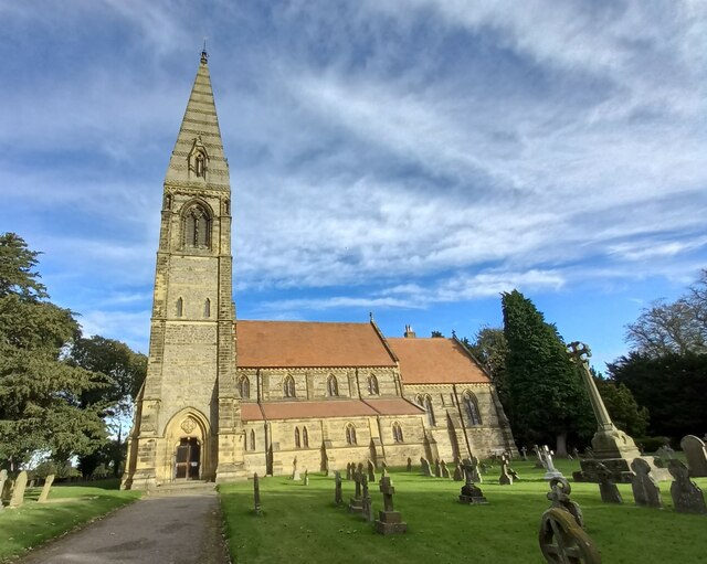
The village of Baldersby St James is home to a close-knit community that values its rural heritage. The architecture of the village reflects its long history, with charming traditional stone houses and cottages lining its streets. The village also boasts a beautiful 12th-century church, St James, which is a prominent landmark and a testament to the area's historical significance.
Despite its small size, Baldersby St James offers a range of amenities and services to its residents. These include a village hall, a primary school, and a local pub that serves as a social hub for the community. The village is also surrounded by rolling fields and farmland, making it an ideal location for outdoor enthusiasts and nature lovers.
Baldersby St James benefits from its proximity to nearby towns and cities, such as Thirsk and Ripon, which provide additional facilities and leisure opportunities. The village is well-connected by road, with the A1(M) motorway being easily accessible, offering convenient travel links to other parts of Yorkshire and beyond.
Overall, Baldersby St James is a peaceful and charming village, offering a sense of community and a rural lifestyle, while still being within reach of larger towns and cities for those seeking more amenities and entertainment options.
If you have any feedback on the listing, please let us know in the comments section below.
Baldersby St James Images
Images are sourced within 2km of 54.188599/-1.450093 or Grid Reference SE3577. Thanks to Geograph Open Source API. All images are credited.

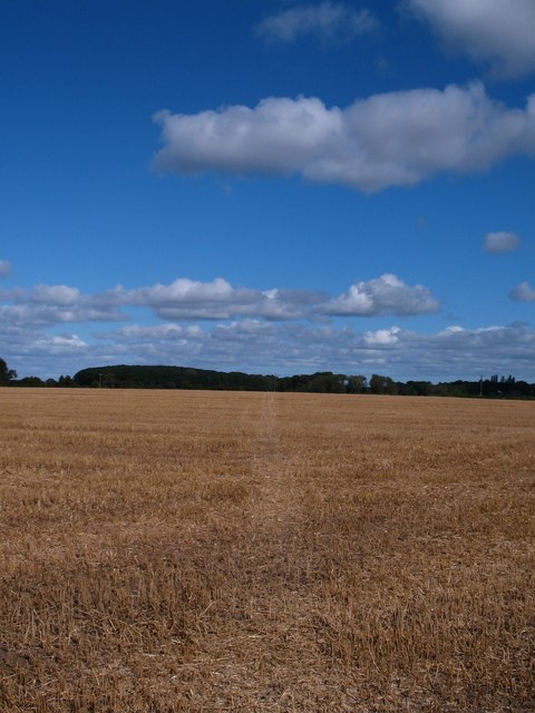
![A6055 near Melmerby The newly [2012] designated A6055 runs parallel to the new A1[M] motorway from the A61 to the A684 at Leeming, and uses the line of the old northbound carriageway of A1.](https://s0.geograph.org.uk/geophotos/02/99/03/2990332_d5df2501.jpg)
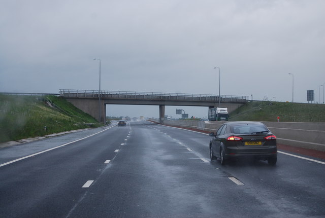
![Alongside the motorway Looking along the east side of the A1[M] from the end of New Road at Rainton. The motorway runs parallel to, and east of the old A1, thus the circles on the map have to be an approximation.](https://s3.geograph.org.uk/geophotos/02/99/03/2990359_6277b314.jpg)
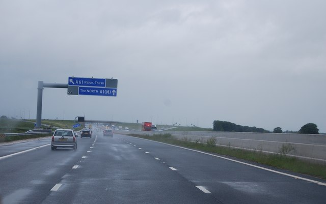


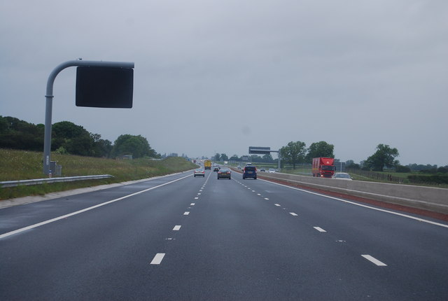
![A1[M] junction 50 The view north with the slip road from the A61 on the left. Left of this again, but hardly visible is the A6055, which uses sections of the old A1 carriageway to provide a service road parallel to the motorway.](https://s3.geograph.org.uk/geophotos/03/14/58/3145891_0c5e14e4.jpg)
Baldersby St James is located at Grid Ref: SE3577 (Lat: 54.188599, Lng: -1.450093)
Division: North Riding
Administrative County: North Yorkshire
District: Harrogate
Police Authority: North Yorkshire
What 3 Words
///ferrying.cuddled.uptown. Near Ripon, North Yorkshire
Nearby Locations
Related Wikis
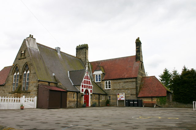
Baldersby St James Primary School
Baldersby St James Primary School is a former school in Baldersby St James, a village in North Yorkshire, in England. The school was commissioned by William...

Church of St James, Baldersby
The Church of St James is a Church of England parish church in Baldersby St James, North Yorkshire. This Victorian church is a Grade I listed building...
Baldersby St James
Baldersby St James is a village in the former Harrogate district of North Yorkshire, England. Several notable buildings in the village were commissioned...

The Old Parsonage, Baldersby
The Old Parsonage is a historic building in Baldersby St James, a village in North Yorkshire, in England. The house was commissioned by William Dawnay...
Nearby Amenities
Located within 500m of 54.188599,-1.450093Have you been to Baldersby St James?
Leave your review of Baldersby St James below (or comments, questions and feedback).