Baldersby

Settlement in Yorkshire Harrogate

England

Baldersby

Farm buildings at Howe Hill
Farm buildings at Howe Hill Credit: John Slater

Baldersby is a small village located in the district of Hambleton, in the county of North Yorkshire, England. Situated approximately 6 miles southeast of Thirsk, the village lies on the edge of the beautiful Vale of Mowbray. With a population of around 200 people, Baldersby is renowned for its tranquil and picturesque setting.

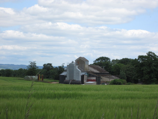
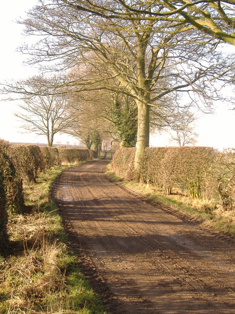
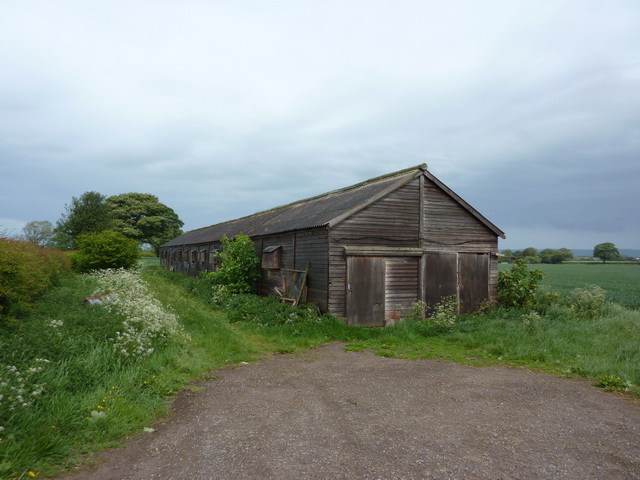
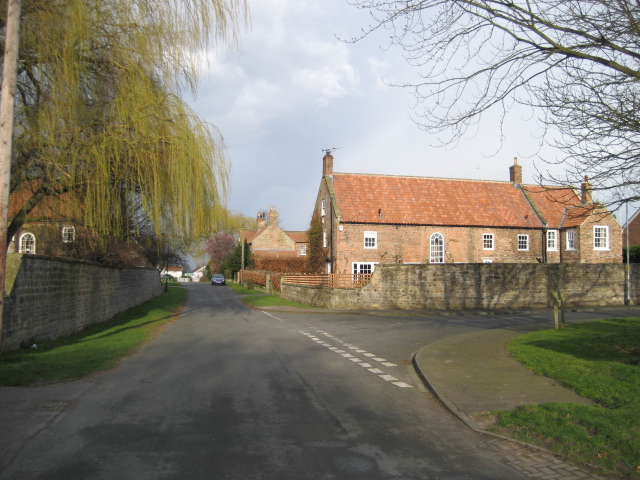
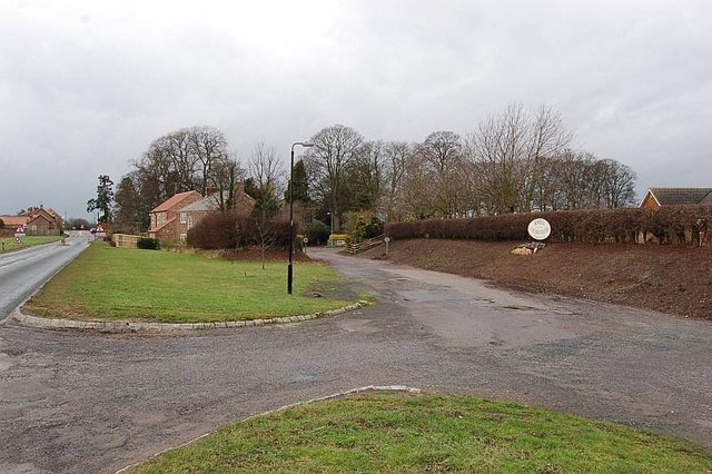
The village is predominantly made up of traditional stone-built cottages and farmhouses, giving it a charming and rustic feel. The surrounding countryside is characterized by rolling hills, lush green fields, and a patchwork of farmland. It is an area of great natural beauty and is popular with walkers and nature enthusiasts.

Baldersby is home to the Grade I listed St. James' Church, which dates back to the 12th century. The church is a magnificent example of Norman architecture, with its impressive tower and intricate stone carvings. The village also has a primary school, providing education for children in the local area.

Despite its small size, Baldersby benefits from excellent transport links. The A168 road runs nearby, connecting the village to major towns and cities in the region. The nearby market town of Thirsk offers a range of amenities, including shops, cafes, and a train station with regular services to York and London.

Overall, Baldersby is a peaceful and idyllic village, offering a quintessential Yorkshire experience. Its natural beauty, historic church, and convenient location make it a desirable place to live or visit for those seeking a slower pace of life in a picturesque setting.

If you have any feedback on the listing, please let us know in the comments section below.

Baldersby Images

Images are sourced within 2km of 54.202001/-1.45643 or Grid Reference SE3578. Thanks to Geograph Open Source API. All images are credited.

Farm buildings at Howe Hill
New house under construction Situated on farmland by the route to the old airfield.
New house under construction
Situated on farmland by the route to the old airfield.
Track to the old airfield The track is mostly used now by turkey farmers.
Track to the old airfield
The track is mostly used now by turkey farmers.
Ploughed and planted field near Skipton-on-Swale A little-used footpath runs on the side of the field. The farm ahead is on the edge of Skipton-on-Swale.
Ploughed and planted field near Skipton-on-Swale
A little-used footpath runs on the side of the field. The farm ahead is on the edge of Skipton-on-Swale.
The River North of Skipton-on-Swale Swollen River Swale flowing swiftly towards the small village of Skipton - between Ripon and Thirsk.
The River North of Skipton-on-Swale
Swollen River Swale flowing swiftly towards the small village of Skipton - between Ripon and Thirsk.
House near Sandholme Farm Replaced a pair of farm cottages - <a href="https://www.geograph.org.uk/photo/402025">SE3680 : Farm cottages at Skipton on Swale</a>
House near Sandholme Farm
Replaced a pair of farm cottages - SE3680 : Farm cottages at Skipton on Swale
Winter cereal crop near Sandholme Farm
Stubble field and hedgerow, Howe Hill Off the B6267.
Stubble field and hedgerow, Howe Hill
Off the B6267.
Skipton on Swale church This benchmark is cut into the stonework to the left of the main church access door. The wall is south facing and the mark is cut into the 3rd stone course.
Skipton on Swale church
This benchmark is cut into the stonework to the left of the main church access door. The wall is south facing and the mark is cut into the 3rd stone course.
Skipton on Swale church A wider angle taken almost from the church gate looking north. There is a benchmark cut into the stonework to the left of the main church access door. The mark is cut into the 3rd stone course and is south facing.
Skipton on Swale church
A wider angle taken almost from the church gate looking north. There is a benchmark cut into the stonework to the left of the main church access door. The mark is cut into the 3rd stone course and is south facing.
Traffic lights at Skipton Bridge on the River Swale Controlling traffic across the narrow bridge.
Traffic lights at Skipton Bridge on the River Swale
Controlling traffic across the narrow bridge.
The Swale in flood at Skipton Bridge A view from the south side of the bridge looking across the swollen river and the flooded fields that were either side of the A61. The road wasn't affected, but the next bridge upstream at Myton on Swale [A684] was impassable due to flooding.
The Swale in flood at Skipton Bridge
A view from the south side of the bridge looking across the swollen river and the flooded fields that were either side of the A61. The road wasn't affected, but the next bridge upstream at Myton on Swale [A684] was impassable due to flooding.
Farm cottages at Skipton on Swale A pair of redbrick cottages 'round the back'of the village and on the edge of an old airfield.
Farm cottages at Skipton on Swale
A pair of redbrick cottages 'round the back'of the village and on the edge of an old airfield.
Bare Trees & Hedges But A Beautiful Morning Track from Howe to A1. Glorious February weather. Unnervingly warm at 10 degrees.
Bare Trees & Hedges But A Beautiful Morning
Track from Howe to A1. Glorious February weather. Unnervingly warm at 10 degrees.
Hidden Bridge Footbridge hidden in copse between Howe and River Swale, crossing Howe Beck.
Hidden Bridge
Footbridge hidden in copse between Howe and River Swale, crossing Howe Beck.
Hove Hill Public Bridleway up over Howe Moor.
Hove Hill
Public Bridleway up over Howe Moor.
Howe Postbox ER II box serving the hamlet of Howe.
Howe Postbox
ER II box serving the hamlet of Howe.
Building on the north side of Wide Howe Lane
Show me another place!

Baldersby is located at Grid Ref: SE3578 (Lat: 54.202001, Lng: -1.45643)

Division: North Riding

Administrative County: North Yorkshire

District: Harrogate

Police Authority: North Yorkshire

What 3 Words

///beauty.amazed.bride. Near Thirsk, North Yorkshire

Nearby Locations

Baldersby

Related Wikis

Baldersby

Baldersby is a village and civil parish in North Yorkshire, England, about 6 miles (10 km) west of Thirsk and 5 miles (8 km) north-east of Ripon on the...

Baldersby railway station

Baldersby railway station was a railway station serving the village of Baldersby in North Yorkshire, England. It was located on a line from Melmerby, north...

Skipton-on-Swale

Skipton-on-Swale is a small village and civil parish in the Hambleton district of North Yorkshire, England. The population at the 2011 Census was less...

Catton, North Yorkshire

Catton is a village and civil parish in the Hambleton District of North Yorkshire, England. It is situated between Thirsk and Ripon, on the River Swale...

Nearby Amenities

Located within 500m of 54.202001,-1.45643
Baldersby
Is In: UK,England,Yorkshire,North Yorkshire
Place: village
Lat/Long: 54.2018149/-1.4564985
Redcote
Building: house
Lat/Long: 54.2033655/-1.4539811
Post Box
Post Box Type: lamp
Lat/Long: 54.2005146/-1.4586769
Telephone
Booth: K6
Covered: booth
Listed Status: Grade II
Lat/Long: 54.2022154/-1.4562151
Power: substation
Lat/Long: 54.2017351/-1.4563116
Leisure: playground
Lat/Long: 54.1996525/-1.4550464
Bench
Access: customers
Backrest: yes
Colour: Brown
Material: wood
Lat/Long: 54.1990133/-1.4595189
Fire Extinguisher
Emergency: fire_extinguisher
Indoor: no
Lat/Long: 54.198975/-1.4602871
Lit: sunset-sunrise
Man Made: water_tap
Lat/Long: 54.1987081/-1.4602034
Defibrillator
Access: yes
Defibrillator Location: outside Baldersby Mission Room
Emergency: defibrillator
Indoor: no
Lat/Long: 54.2019581/-1.45678
The data included in this document is from www.openstreetmap.org. The data is made available under ODbL.

Have you been to Baldersby?

Leave your review of Baldersby below (or comments, questions and feedback).