Appleby Park
Downs, Moorland in Leicestershire North West Leicestershire
England
Appleby Park
Appleby Park is a stunning natural area located in Leicestershire, England. Spanning over a vast expanse of land, it offers a diverse range of landscapes, including downs and moorland. The park is a popular destination for locals and tourists alike, thanks to its picturesque beauty and tranquil atmosphere.
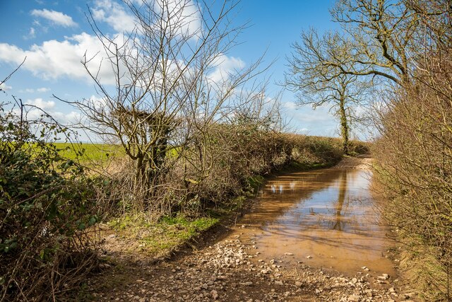
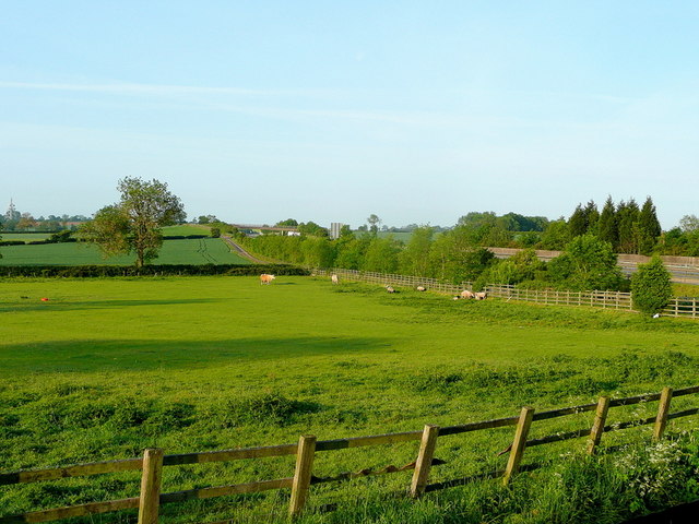
The downs in Appleby Park are characterized by their rolling hills, covered in lush green grass and scattered with wildflowers. This landscape provides a perfect setting for leisurely walks, picnics, and relaxation. Visitors can enjoy the sweeping views of the surrounding countryside, with glimpses of charming villages and farmland in the distance.
On the other hand, the moorland area of Appleby Park offers a unique and distinct experience. It is characterized by its rugged terrain, heather-covered hills, and scattered patches of woodland. This part of the park is known for its rich biodiversity, with an array of plant and animal species thriving in this unique habitat. Nature enthusiasts can explore the moorland trails, keeping an eye out for rare birds, such as the curlew and golden plover.
Appleby Park is well-maintained and provides ample facilities for visitors. There are designated areas for parking, along with well-marked trails for hikers and cyclists. The park also boasts picnic spots, benches, and viewpoints, allowing visitors to fully immerse themselves in the idyllic surroundings.
Overall, Appleby Park is a haven for nature lovers, offering a diverse range of landscapes and natural beauty. Whether one seeks a peaceful stroll through the downs or an adventurous hike through the moorland, this park provides a captivating experience for all.
If you have any feedback on the listing, please let us know in the comments section below.
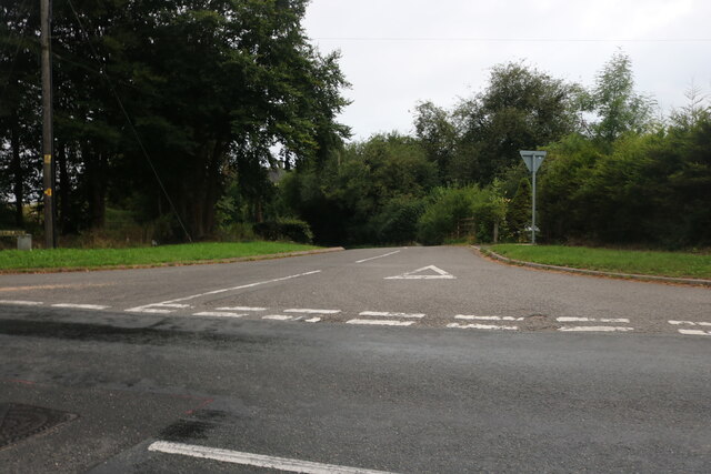
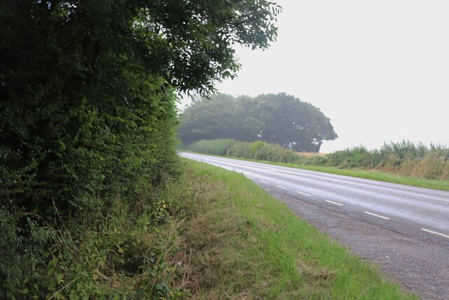
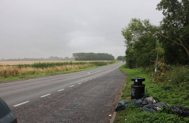
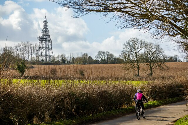
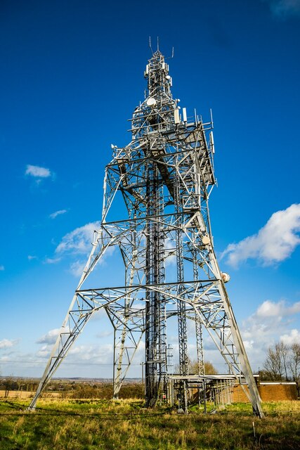
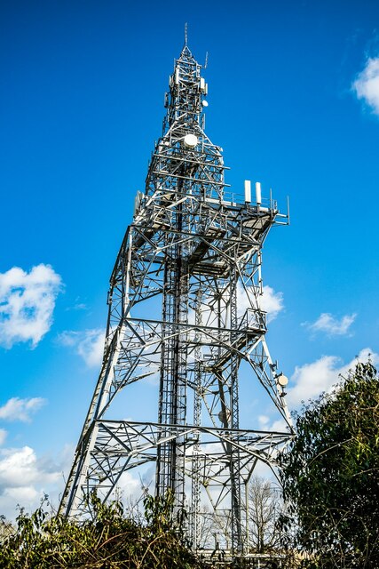
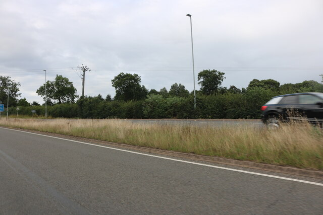
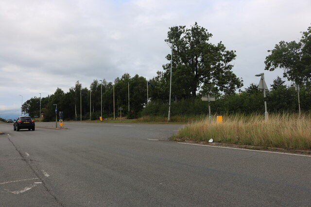
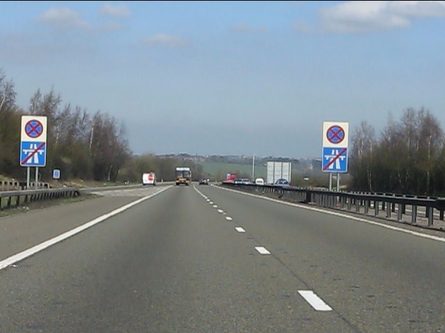
Appleby Park Images
Images are sourced within 2km of 52.675856/-1.5396659 or Grid Reference SK3108. Thanks to Geograph Open Source API. All images are credited.


Appleby Park is located at Grid Ref: SK3108 (Lat: 52.675856, Lng: -1.5396659)
Administrative County: Leicestershire
District: North West Leicestershire
Police Authority: Leicestershire
What 3 Words
///gullible.keyboard.cheater. Near Measham, Leicestershire
Nearby Locations
Related Wikis
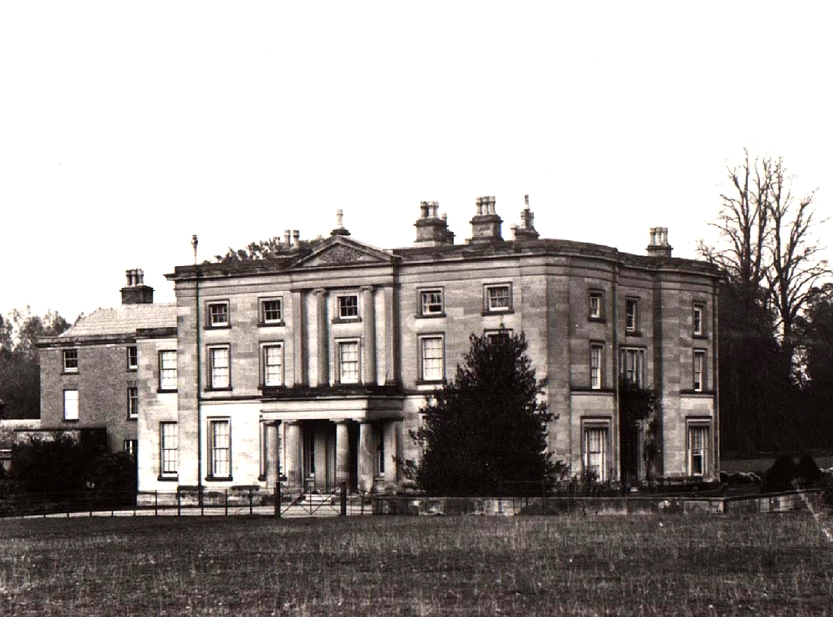
Appleby Hall
Appleby Hall was a manor house or stately home built in the small hamlet of Appleby Parva, on the outskirts of Appleby Magna. A Manor was mentioned in...

Appleby Parva
Appleby Parva, or Little Appleby (Known locally as Over-Town), part of the parish of Appleby Magna in Leicestershire, is a hamlet about 1 mile (1.6 km...

Sir John Moore Church of England Primary School
Sir John Moore Church of England Primary School, previously known as Appleby Grammar School, is a junior school situated in the village of Appleby Magna...
Appleby Magna
Appleby Magna is a village and civil parish in the North West Leicestershire district, in the county of Leicestershire, England. It includes the small...

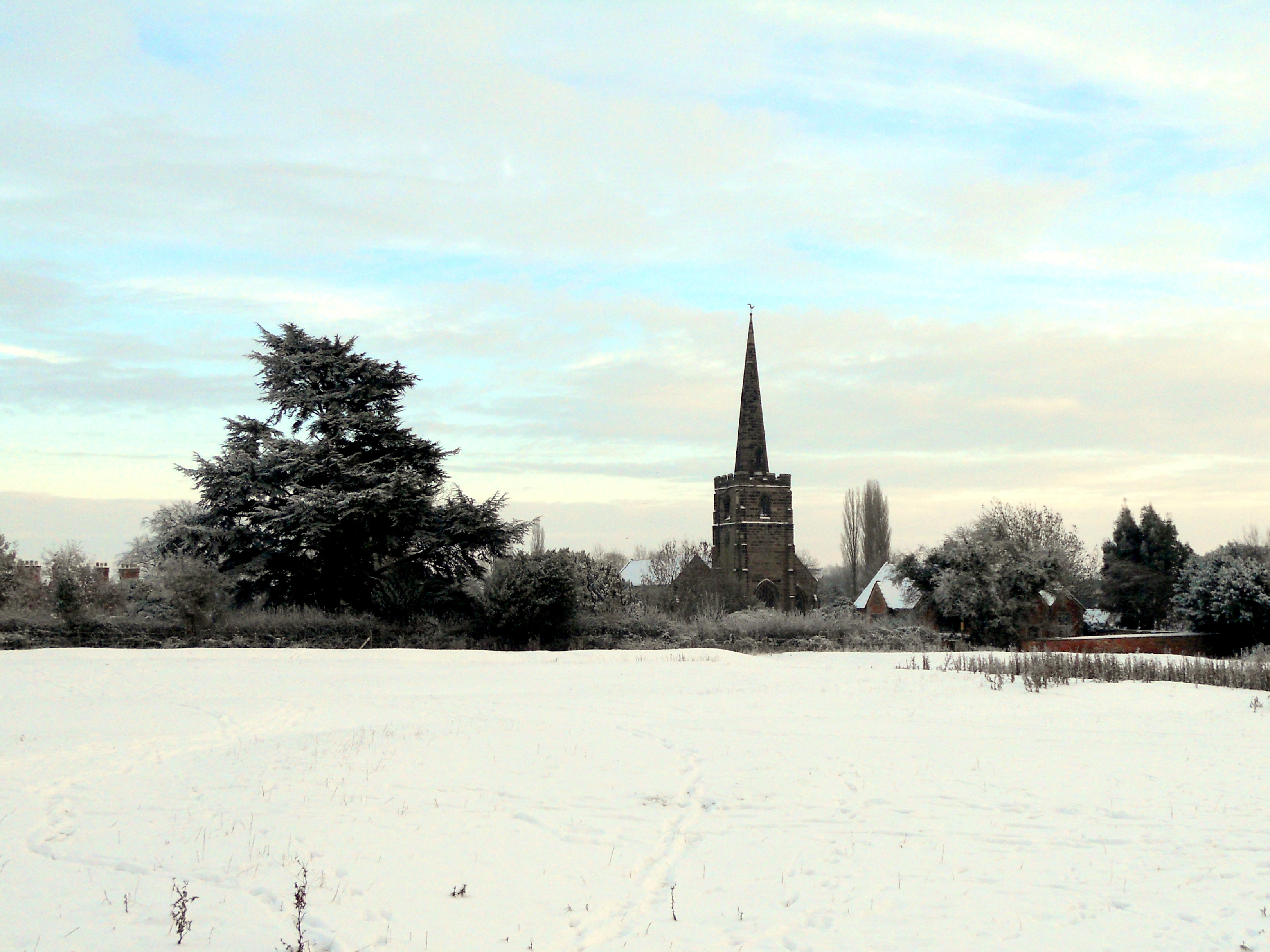
St Michael and All Angels' Church, Appleby Magna
St Michael and All Angels’ Church, Appleby Magna is a Grade II* listed parish church in the Church of England in Appleby Magna, Leicestershire == History... ==
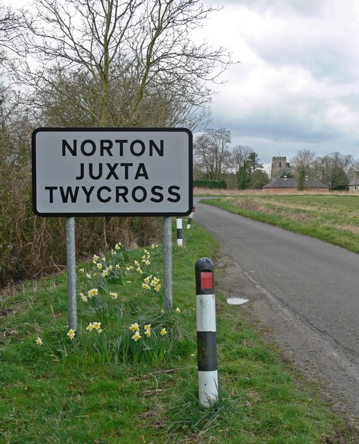
Norton Juxta Twycross
Norton Juxta Twycross, usually known as simply "Norton" (or "Norton-Juxta"), is a village and former civil parish, now in the parish of Twycross, in the...
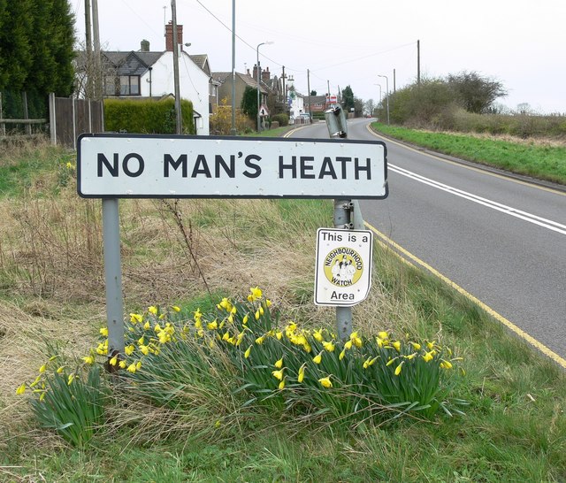
No Man's Heath, Warwickshire
No Man's Heath is an area of the civil parish of Newton Regis, in the North Warwickshire district, in the county of Warwickshire, England, about 6 miles...

Snarestone railway station
Snarestone railway station is a disused railway station that formerly served the village of Snarestone, North West Leicestershire from 1873 to 1931. The...
Nearby Amenities
Located within 500m of 52.675856,-1.5396659Have you been to Appleby Park?
Leave your review of Appleby Park below (or comments, questions and feedback).