Atherstone Road Plantation
Wood, Forest in Leicestershire North West Leicestershire
England
Atherstone Road Plantation
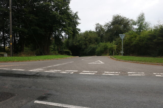
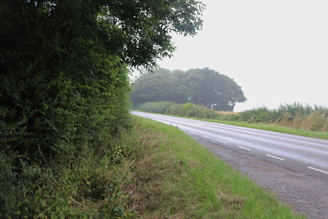
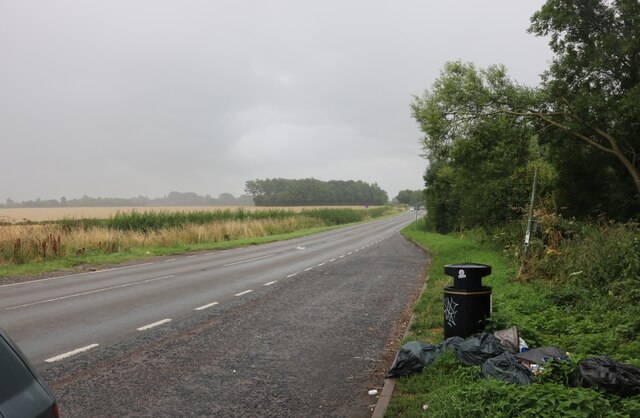
Atherstone Road Plantation is a sprawling woodland situated in Leicestershire, England. Covering a vast area, this plantation forms a significant part of the county's natural landscape. The plantation is nestled along Atherstone Road, which runs through the heart of the woodland, providing convenient access for visitors.
This woodland is known for its diverse range of tree species, including oak, beech, and pine. The towering trees create a dense canopy, casting shade over the forest floor. Atherstone Road Plantation is a prime habitat for a variety of wildlife, attracting an array of bird species, small mammals, and insects. Nature enthusiasts often flock to this plantation to observe and appreciate the abundance of wildlife that calls it home.
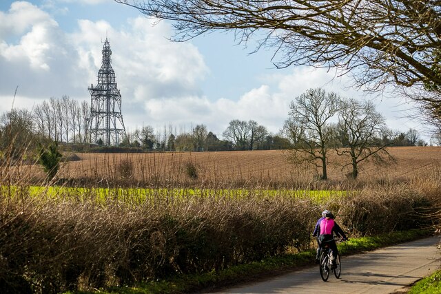
The plantation offers a tranquil and picturesque setting for leisure activities such as hiking, birdwatching, and photography. Well-maintained trails wind through the woodland, providing visitors with the opportunity to explore the various nooks and crannies of the plantation at their own pace. The diverse terrain, ranging from gentle slopes to steep hills, adds an element of challenge and excitement to the outdoor experience.
Atherstone Road Plantation also serves as an important recreational area for the local community. Families often visit the woodland for picnics and outdoor gatherings, taking advantage of the designated picnic areas and open spaces. The plantation's proximity to residential areas makes it easily accessible for individuals seeking a peaceful retreat from the hustle and bustle of everyday life.
Overall, Atherstone Road Plantation is a cherished natural gem in Leicestershire, offering a harmonious blend of tranquility, biodiversity, and recreational opportunities for both locals and visitors alike.
If you have any feedback on the listing, please let us know in the comments section below.
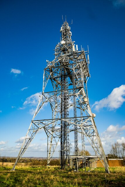
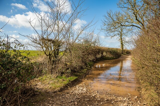
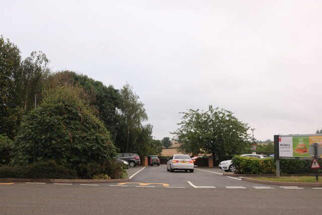
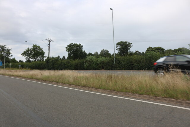
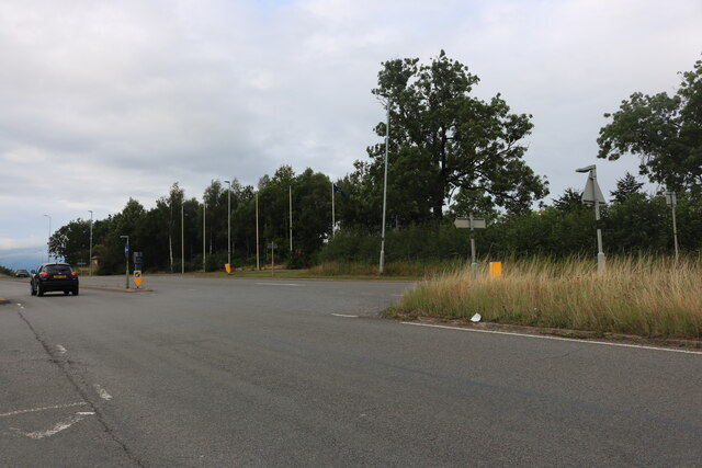
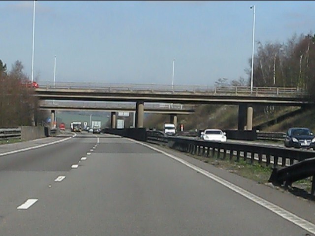
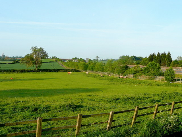
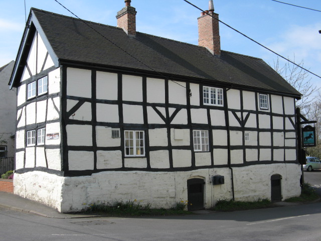
Atherstone Road Plantation Images
Images are sourced within 2km of 52.673399/-1.5412889 or Grid Reference SK3108. Thanks to Geograph Open Source API. All images are credited.


Atherstone Road Plantation is located at Grid Ref: SK3108 (Lat: 52.673399, Lng: -1.5412889)
Administrative County: Leicestershire
District: North West Leicestershire
Police Authority: Leicestershire
What 3 Words
///mocking.case.speedily. Near Measham, Leicestershire
Nearby Locations
Related Wikis

Appleby Parva
Appleby Parva, or Little Appleby (Known locally as Over-Town), part of the parish of Appleby Magna in Leicestershire, is a hamlet about 1 mile (1.6 km...
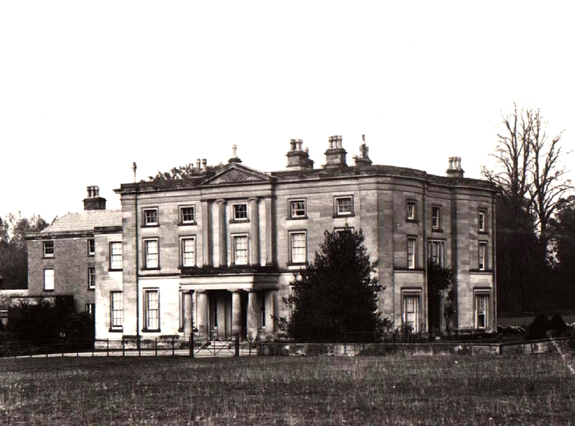
Appleby Hall
Appleby Hall was a manor house or stately home built in the small hamlet of Appleby Parva, on the outskirts of Appleby Magna. A Manor was mentioned in...

Sir John Moore Church of England Primary School
Sir John Moore Church of England Primary School, previously known as Appleby Grammar School, is a junior school situated in the village of Appleby Magna...
Appleby Magna
Appleby Magna is a village and civil parish in the North West Leicestershire district, in the county of Leicestershire, England. It includes the small...

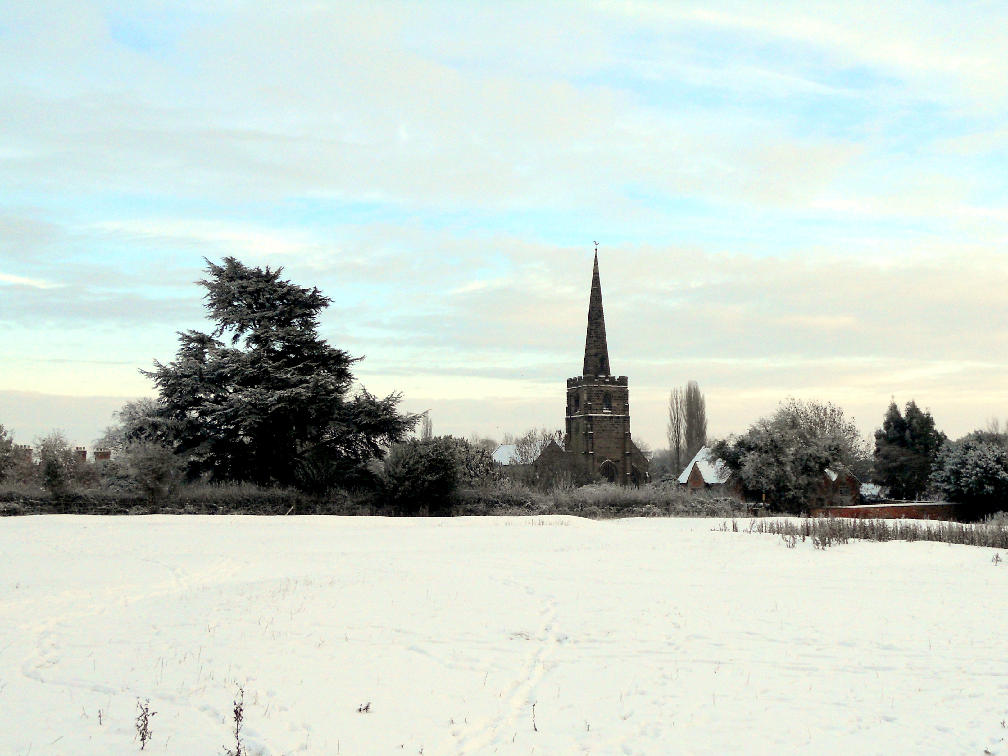
St Michael and All Angels' Church, Appleby Magna
St Michael and All Angels’ Church, Appleby Magna is a Grade II* listed parish church in the Church of England in Appleby Magna, Leicestershire == History... ==
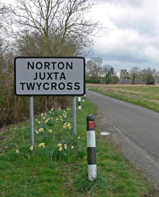
Norton Juxta Twycross
Norton Juxta Twycross, usually known as simply "Norton" (or "Norton-Juxta"), is a village and former civil parish, now in the parish of Twycross, in the...
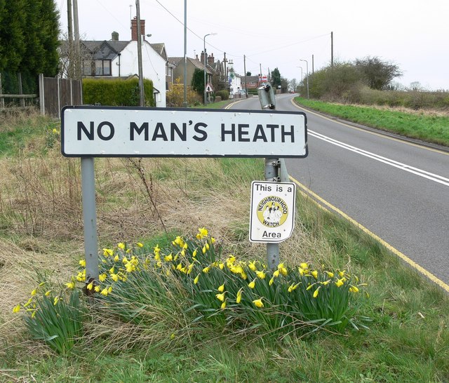
No Man's Heath, Warwickshire
No Man's Heath is an area of the civil parish of Newton Regis, in the North Warwickshire district, in the county of Warwickshire, England, about 6 miles...

Austrey, Warwickshire
Austrey is a village and civil parish in the North Warwickshire District of Warwickshire, England. and the village lies at the northern extremity of the...
Nearby Amenities
Located within 500m of 52.673399,-1.5412889Have you been to Atherstone Road Plantation?
Leave your review of Atherstone Road Plantation below (or comments, questions and feedback).