Horse Shoe Plantation
Wood, Forest in Leicestershire North West Leicestershire
England
Horse Shoe Plantation
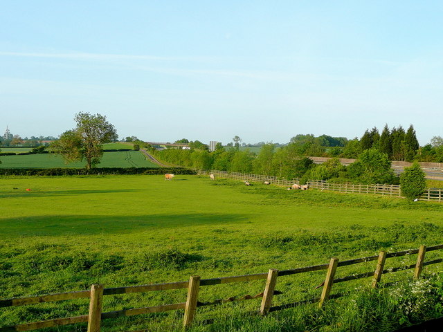
Horse Shoe Plantation is a scenic woodland area located in Leicestershire, England. Situated in the heart of the county, it covers an area of approximately 50 acres and is renowned for its natural beauty and diverse ecosystem.
The plantation is named after its distinct horseshoe shape, which is evident when viewed from above. It consists primarily of deciduous trees, such as oak and ash, which provide a stunning display of colors during the autumn months. The woodland is also home to a variety of wildlife, including deer, foxes, and a wide array of bird species, making it a popular spot for nature enthusiasts and birdwatchers.
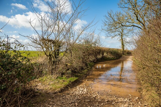
The plantation offers several walking trails and paths that wind through the woods, allowing visitors to explore its different sections and admire its unique features. The paths are well-maintained and suitable for all ages and fitness levels, making it an ideal destination for families and individuals seeking a peaceful retreat in nature.
In addition to its natural beauty, Horse Shoe Plantation also has historical significance. It is believed that the woodland was once part of a larger estate and was used for leisure activities by the local gentry. Today, remnants of its past can still be found, including old stone walls and ruins that add to the overall charm and character of the area.
Overall, Horse Shoe Plantation in Leicestershire is a picturesque woodland that offers a tranquil escape from the hustle and bustle of everyday life. Its combination of natural beauty, diverse wildlife, and historical elements make it a must-visit destination for nature lovers and history enthusiasts alike.
If you have any feedback on the listing, please let us know in the comments section below.
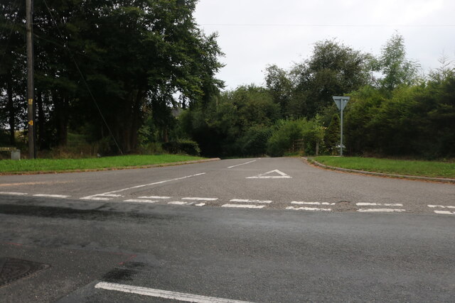
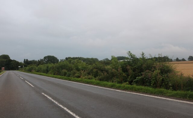
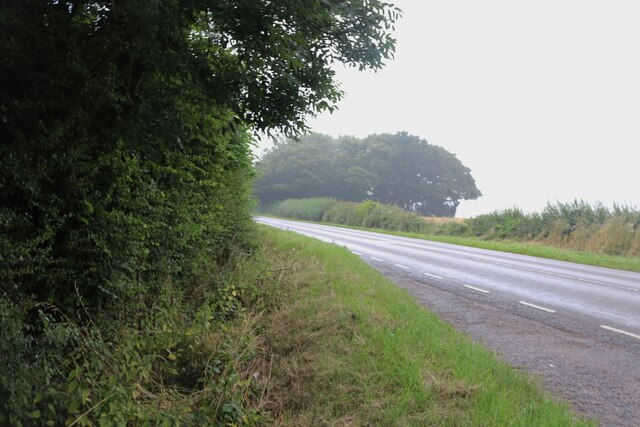
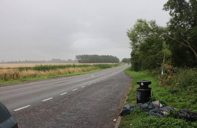
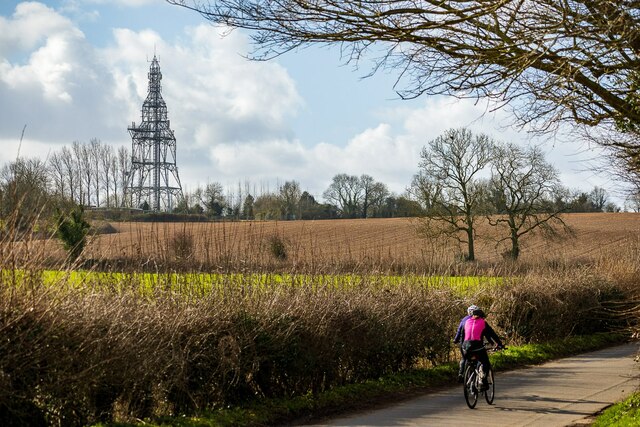
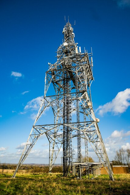
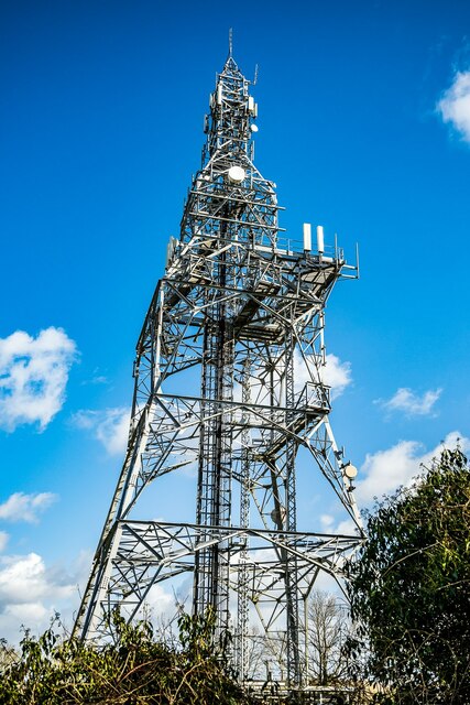
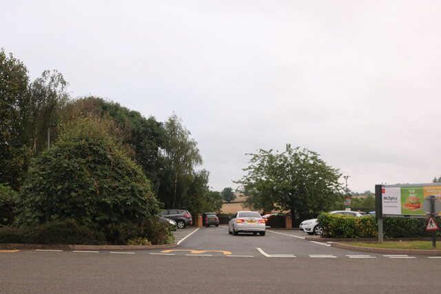
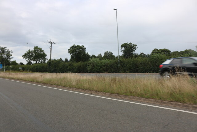
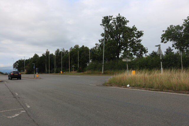
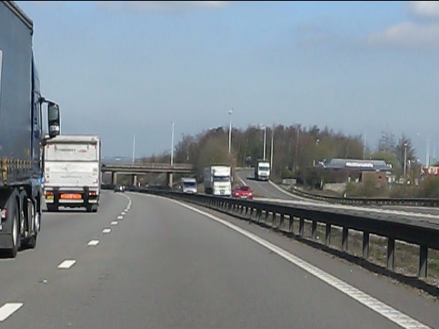
Horse Shoe Plantation Images
Images are sourced within 2km of 52.673413/-1.5333174 or Grid Reference SK3108. Thanks to Geograph Open Source API. All images are credited.


Horse Shoe Plantation is located at Grid Ref: SK3108 (Lat: 52.673413, Lng: -1.5333174)
Administrative County: Leicestershire
District: North West Leicestershire
Police Authority: Leicestershire
What 3 Words
///agrees.landlords.unopposed. Near Measham, Leicestershire
Nearby Locations
Related Wikis
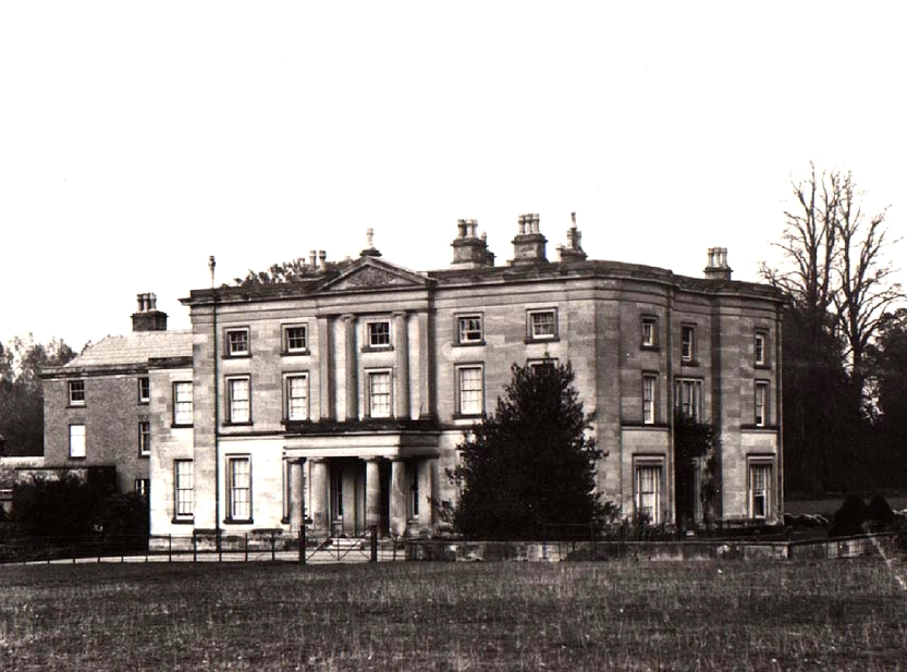
Appleby Hall
Appleby Hall was a manor house or stately home built in the small hamlet of Appleby Parva, on the outskirts of Appleby Magna. A Manor was mentioned in...

Sir John Moore Church of England Primary School
Sir John Moore Church of England Primary School, previously known as Appleby Grammar School, is a junior school situated in the village of Appleby Magna...

Appleby Parva
Appleby Parva, or Little Appleby (Known locally as Over-Town), part of the parish of Appleby Magna in Leicestershire, is a hamlet about 1 mile (1.6 km...
Appleby Magna
Appleby Magna is a village and civil parish in the North West Leicestershire district, in the county of Leicestershire, England. It includes the small...

St Michael and All Angels' Church, Appleby Magna
St Michael and All Angels’ Church, Appleby Magna is a Grade II* listed parish church in the Church of England in Appleby Magna, Leicestershire == History... ==
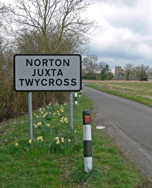
Norton Juxta Twycross
Norton Juxta Twycross, usually known as simply "Norton" (or "Norton-Juxta"), is a village and former civil parish, now in the parish of Twycross, in the...

Snarestone railway station
Snarestone railway station is a disused railway station that formerly served the village of Snarestone, North West Leicestershire from 1873 to 1931. The...
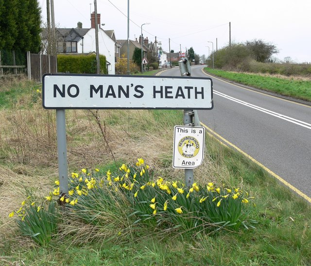
No Man's Heath, Warwickshire
No Man's Heath is an area of the civil parish of Newton Regis, in the North Warwickshire district, in the county of Warwickshire, England, about 6 miles...
Nearby Amenities
Located within 500m of 52.673413,-1.5333174Have you been to Horse Shoe Plantation?
Leave your review of Horse Shoe Plantation below (or comments, questions and feedback).