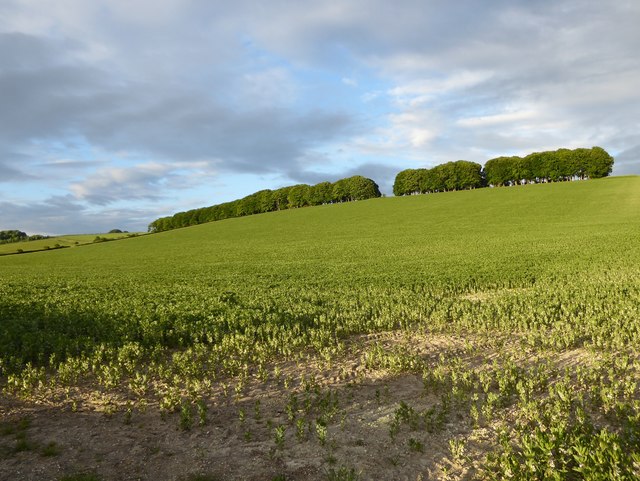
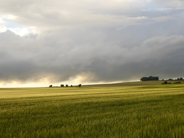
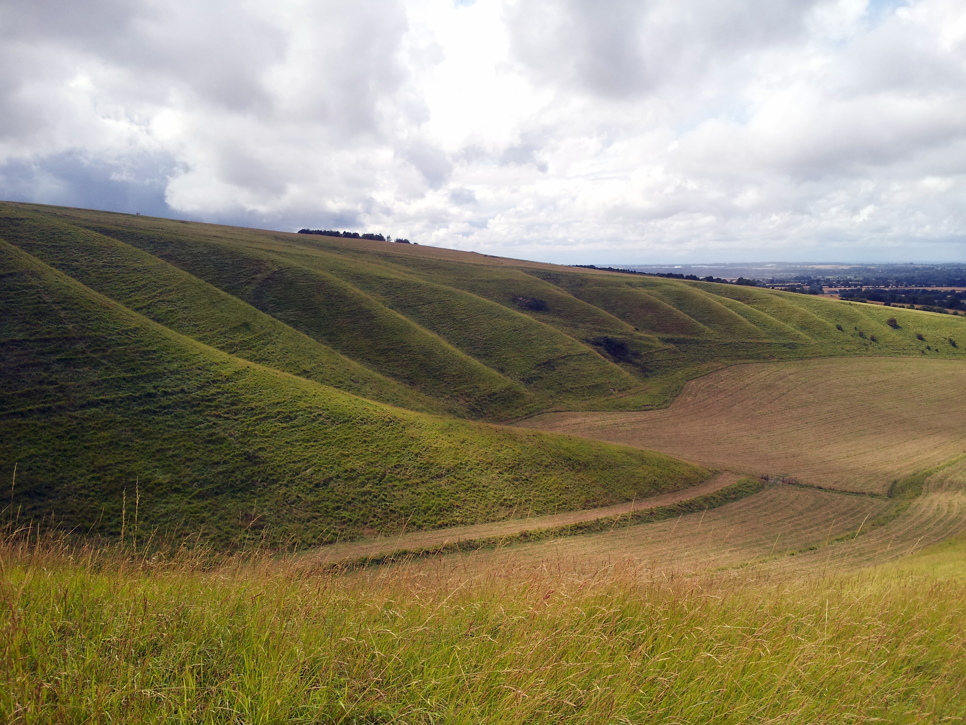
Kingston Warren Down
Downs, Moorland in Berkshire Vale of White Horse
England
Kingston Warren Down

The requested URL returned error: 429 Too Many Requests
If you have any feedback on the listing, please let us know in the comments section below.
Kingston Warren Down Images
Images are sourced within 2km of 51.560195/-1.5509097 or Grid Reference SU3184. Thanks to Geograph Open Source API. All images are credited.


Kingston Warren Down is located at Grid Ref: SU3184 (Lat: 51.560195, Lng: -1.5509097)
Administrative County: Oxfordshire
District: Vale of White Horse
Police Authority: Thames Valley
What 3 Words
///activity.secure.blurs. Near Lambourn, Berkshire
Nearby Locations
Related Wikis
Uffington Castle
Uffington Castle is an early Iron Age (with underlying Bronze Age) univallate hillfort in Oxfordshire, England. It covers about 32,000 square metres and...
Berkshire Downs
The Berkshire Downs are a range of chalk downland hills in southern England, part of the North Wessex Downs Area of Outstanding Natural Beauty. The Berkshire...
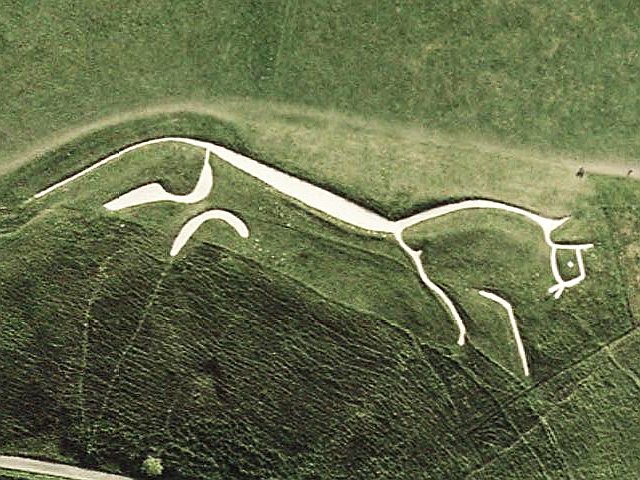
Uffington White Horse
The Uffington White Horse is a prehistoric hill figure, 110 m (360 ft) long, formed from deep trenches filled with crushed white chalk. The figure is situated...
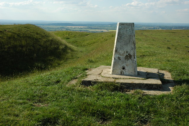
Whitehorse Hill
Whitehorse Hill is a hill in the Berkshire Downs in Oxfordshire, England, west of Wantage. At 261 metres (856 ft), it is the highest point in Oxfordshire...
Have you been to Kingston Warren Down?
Leave your review of Kingston Warren Down below (or comments, questions and feedback).