Barlow Moor

Downs, Moorland in Derbyshire North East Derbyshire

England

Barlow Moor

Upper Linacre Reservoir Much of it is surrounded by ancient woodland.
Upper Linacre Reservoir Credit: Bill Boaden

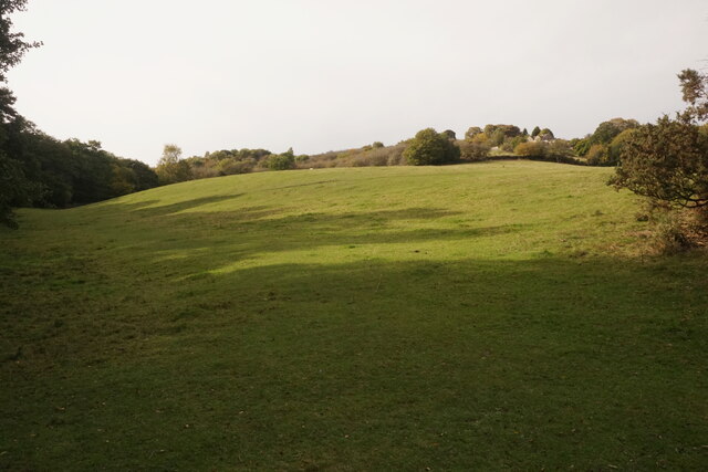
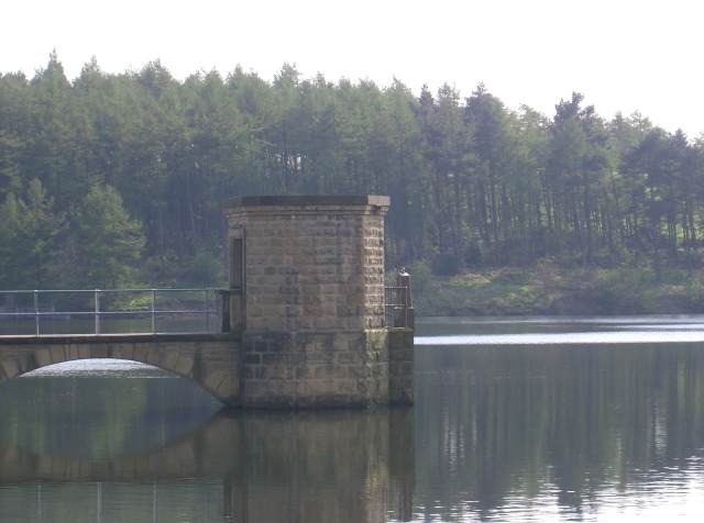
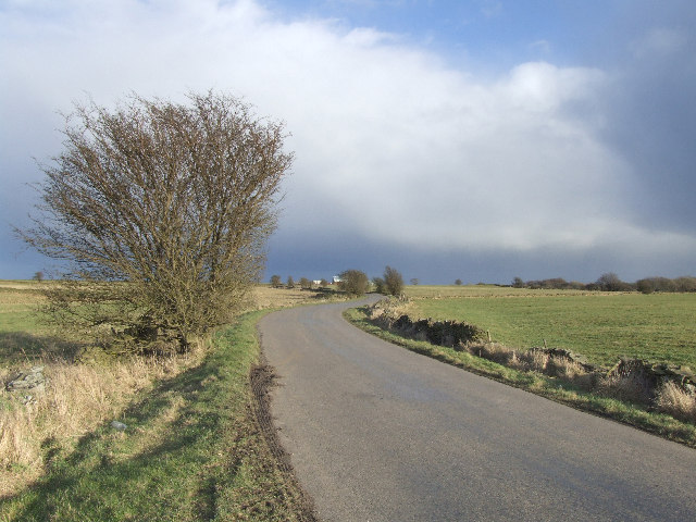
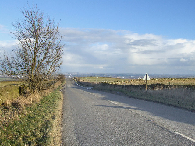
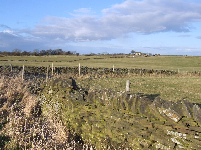
Barlow Moor is a picturesque area located in Derbyshire, England. It is characterized by its vast expanse of rolling hills, known as downs, and its extensive moorland. The moorland is made up of a mixture of heather, grasses, and shrubs, creating a beautiful and diverse landscape.

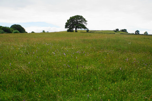
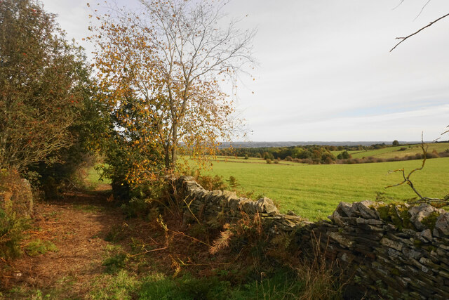
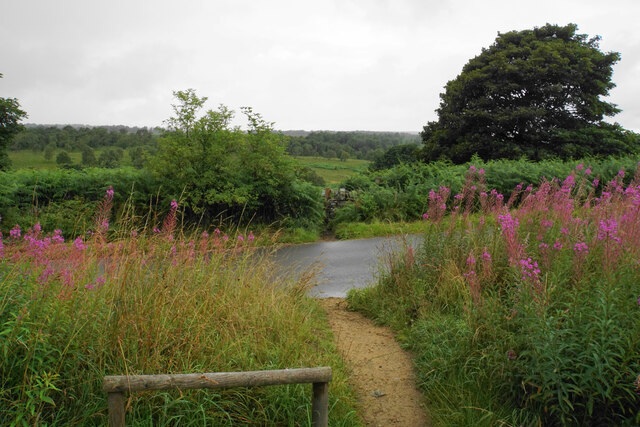
The downs in Barlow Moor offer breathtaking views of the surrounding countryside. Visitors are treated to panoramic vistas of green fields, dotted with grazing sheep and cattle. The undulating hills provide a perfect setting for leisurely walks, hikes, and picnics, attracting both locals and tourists alike.

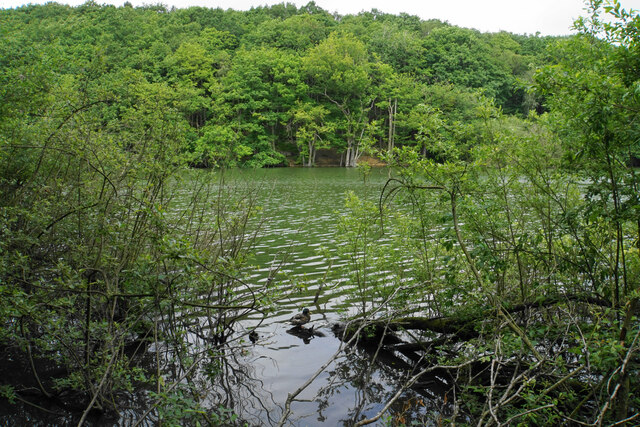
The moorland of Barlow Moor is a haven for wildlife enthusiasts. The heather-covered plains are home to a variety of bird species, including skylarks and meadow pipits. During the summer months, the moorland transforms into a vibrant carpet of purple as the heather blooms, creating a stunning sight to behold.

In addition to its natural beauty, Barlow Moor also boasts historical significance. The area is dotted with ancient burial mounds and stone circles, providing insight into the area's rich history. These archaeological sites offer a glimpse into the lives and customs of the people who once inhabited this land.

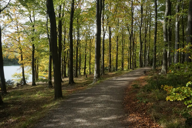
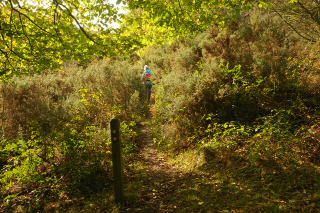
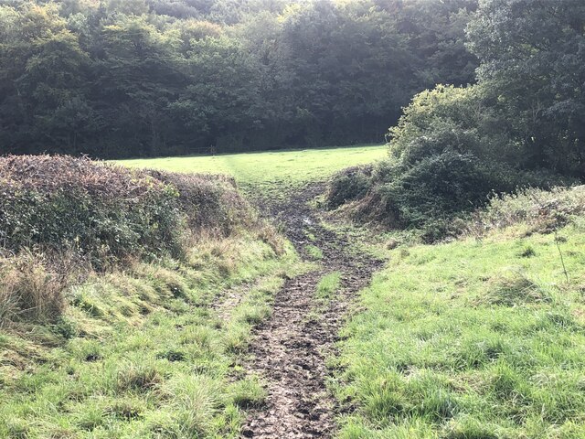
Barlow Moor is a popular destination for outdoor activities such as hiking, birdwatching, and photography. Its peaceful and tranquil atmosphere, combined with its natural beauty, make it a true gem in the heart of Derbyshire.

If you have any feedback on the listing, please let us know in the comments section below.
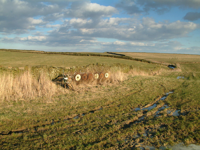
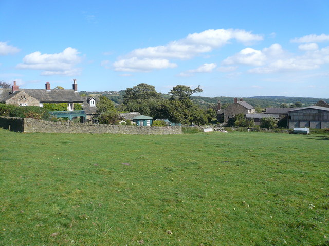
Barlow Moor Images

Images are sourced within 2km of 53.261442/-1.5339904 or Grid Reference SK3173. Thanks to Geograph Open Source API. All images are credited.

Upper Linacre Reservoir Much of it is surrounded by ancient woodland.
Upper Linacre Reservoir
Much of it is surrounded by ancient woodland.
Meadow above Upper Linacre Reservoir The meadow has a wide diversity of plants, including marsh orchids.
Meadow above Upper Linacre Reservoir
The meadow has a wide diversity of plants, including marsh orchids.
Path by Upper Linacre Reservoir Finally showing some autumn colour.
Path by Upper Linacre Reservoir
Finally showing some autumn colour.
Public footpath near Birley Wood The path goes through a patch of head-high gorse.
Public footpath near Birley Wood
The path goes through a patch of head-high gorse.
Field above Birley Brook Looking up towards Birley Farm in the trees on the top of the hill.
Field above Birley Brook
Looking up towards Birley Farm in the trees on the top of the hill.
Path down to Birley Brook The image doesn't convey the gradient, and the mud would be quite treacherous in wetter conditions.
Path down to Birley Brook
The image doesn't convey the gradient, and the mud would be quite treacherous in wetter conditions.
The end of a green lane At the top of Copy Wood which is to the left, and from where I had just emerged.
The end of a green lane
At the top of Copy Wood which is to the left, and from where I had just emerged.
Fields below Wigley The hamlet of Wigley is seen in its hilltop location.
Fields below Wigley
The hamlet of Wigley is seen in its hilltop location.
The path from Unthank Lane, looking into Stripes Wood
Path out of Shillito Wood Car Park The car park owned by the National Trust makes this a good place for starting walks, particularly for people with dogs. In this view, a heavy rain shower is just starting.
Path out of Shillito Wood Car Park
The car park owned by the National Trust makes this a good place for starting walks, particularly for people with dogs. In this view, a heavy rain shower is just starting.
Shillito Wood A lot of the trees are leaning a bit.
Shillito Wood
A lot of the trees are leaning a bit.
Farmland by Shillito Wood The land rises slightly before falling away towards Chesterfield.
Farmland by Shillito Wood
The land rises slightly before falling away towards Chesterfield.
Linacre Top Reservoir in Linacre Wood
Meadow near Wilday Green
Fields and clouds. Looking in an easterly direction towarde Moorhall and Grangewood farm.
Fields and clouds.
Looking in an easterly direction towarde Moorhall and Grangewood farm.
Grange Hill. An easterly view on a sunny February afternoon from the top of Grange Hill.
Grange Hill.
An easterly view on a sunny February afternoon from the top of Grange Hill.
Stone walls and farmland. This is the scene looking across fields towards Spitewinter farm.
Stone walls and farmland.
This is the scene looking across fields towards Spitewinter farm.
Looking towards Meek Fields
Show me another place!

Barlow Moor is located at Grid Ref: SK3173 (Lat: 53.261442, Lng: -1.5339904)

Administrative County: Derbyshire

District: North East Derbyshire

Police Authority: Derbyshire

What 3 Words

///nipped.skate.charge. Near Dronfield, Derbyshire

Related Wikis

Nearby Amenities

Located within 500m of 53.261442,-1.5339904
Barrier: stile
Material: stone
Steps: 2
Stile: stepover
Lat/Long: 53.2650932/-1.5338526
Barrier: stile
Steps: 2
Stile: wall
Lat/Long: 53.2632311/-1.529903
Barrier: stile
Material: stone
Steps: 2
Stile: stepover
Lat/Long: 53.2635089/-1.5322267
Barrier: stile
Material: stone
Stile: squeezer
Lat/Long: 53.2657453/-1.534574
Barrier: entrance
Source: survey;gps
Lat/Long: 53.2645642/-1.5333559
Noexit: yes
Note: No way through. September 2020. Ramblers informed.
Lat/Long: 53.2605259/-1.527806
Barrier: stile
Lat/Long: 53.2605522/-1.5278859
Parking
Capacity: 4
Lat/Long: 53.2585411/-1.528272
Man Made: survey_point
Lat/Long: 53.2585669/-1.5286932
The data included in this document is from www.openstreetmap.org. The data is made available under ODbL.

Have you been to Barlow Moor?

Leave your review of Barlow Moor below (or comments, questions and feedback).