Grange Hill

Hill, Mountain in Derbyshire North East Derbyshire

England

Grange Hill

The head of Middle Linacre Reservoir Opposite is the outflow from the Upper Reservoir.
The head of Middle Linacre Reservoir Credit: Bill Boaden

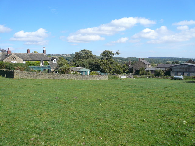
Grange Hill is a prominent geographical feature located in the county of Derbyshire, England. Situated in the southern part of the county, it is part of the wider Peak District National Park, renowned for its stunning natural landscapes and picturesque surroundings. Grange Hill is classified as a hill, rather than a mountain, due to its relatively modest elevation.

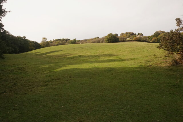
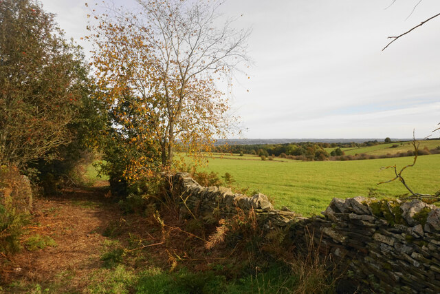
Rising to a height of approximately 368 meters (1,207 feet) above sea level, Grange Hill offers breathtaking panoramic views of the surrounding countryside. Its distinct shape and gentle slopes make it an easily recognizable landmark in the area. The hill is predominantly covered in lush green vegetation, including grasses, heather, and scattered patches of woodland.

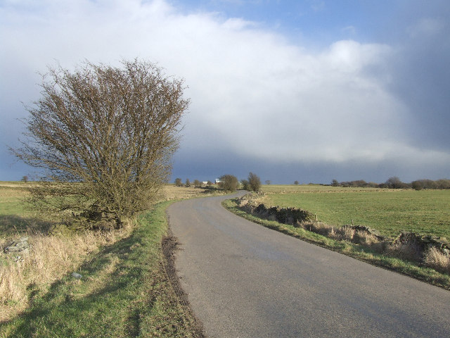
Grange Hill is a popular destination for outdoor enthusiasts and nature lovers alike. Its extensive network of footpaths and trails attracts hikers, walkers, and cyclists who enjoy exploring the natural beauty of the Peak District. The hill's summit provides an ideal spot for picnics, offering uninterrupted vistas across the rolling hills and valleys.

In addition to its natural allure, Grange Hill is also home to a variety of wildlife, including birds, small mammals, and insects. Birdwatchers often frequent the area to catch glimpses of rare and migratory species that inhabit the region. The hill's diverse ecosystem further adds to its appeal as a nature reserve.

Grange Hill, Derbyshire, is a cherished landmark within the Peak District National Park, offering visitors a tranquil escape into nature and an opportunity to immerse themselves in the stunning scenery that characterizes this part of England.

If you have any feedback on the listing, please let us know in the comments section below.
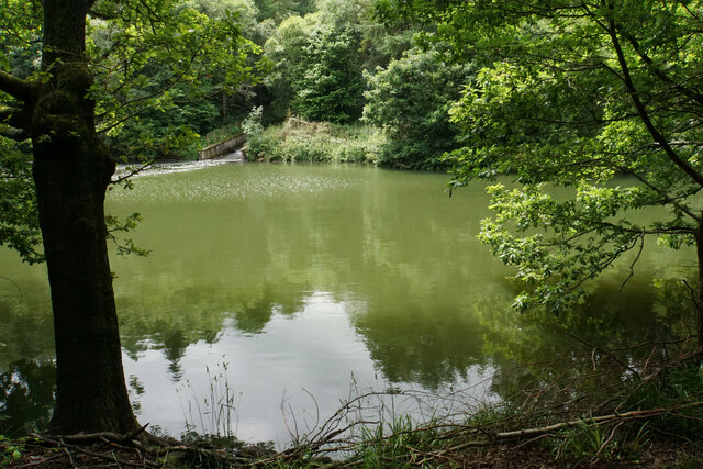
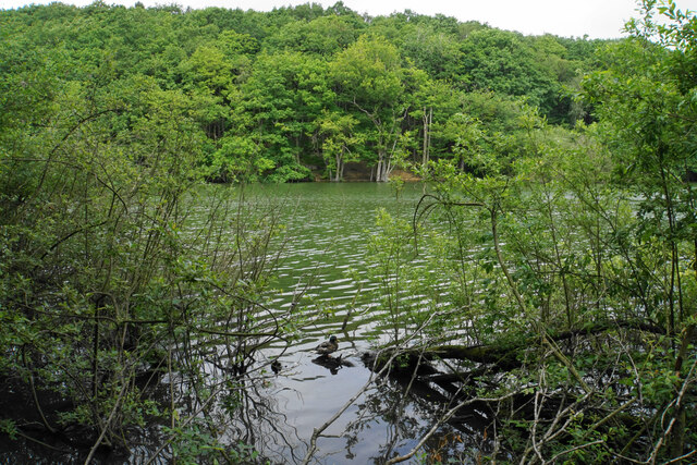
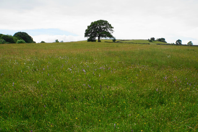
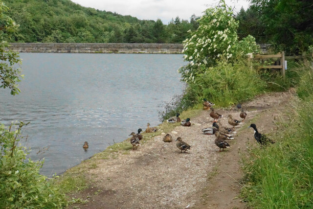
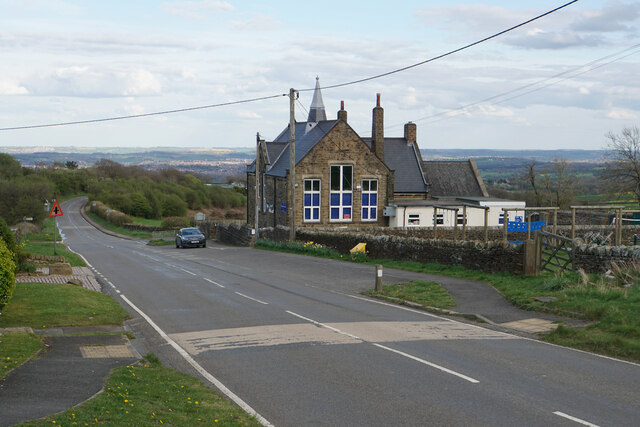
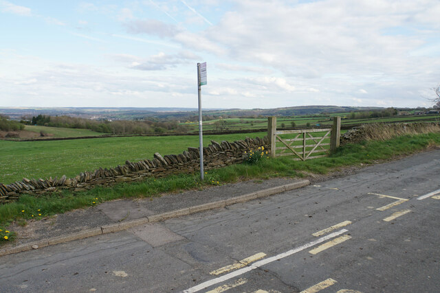
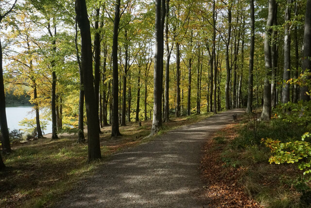
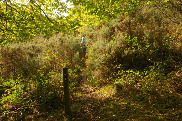
Grange Hill Images

Images are sourced within 2km of 53.258601/-1.5316678 or Grid Reference SK3173. Thanks to Geograph Open Source API. All images are credited.

The head of Middle Linacre Reservoir Opposite is the outflow from the Upper Reservoir.
The head of Middle Linacre Reservoir
Opposite is the outflow from the Upper Reservoir.
Upper Linacre Reservoir Much of it is surrounded by ancient woodland.
Upper Linacre Reservoir
Much of it is surrounded by ancient woodland.
Meadow above Upper Linacre Reservoir The meadow has a wide diversity of plants, including marsh orchids.
Meadow above Upper Linacre Reservoir
The meadow has a wide diversity of plants, including marsh orchids.
Ducks gathering by Upper Linacre Reservoir The reservoir dam is seen behind.
Ducks gathering by Upper Linacre Reservoir
The reservoir dam is seen behind.
Wigley Primary School A very small rural primary school with I think just two classes. The building enjoys extensive views over North East Derbyshire.
Wigley Primary School
A very small rural primary school with I think just two classes. The building enjoys extensive views over North East Derbyshire.
Bus stop by Wigley Primary School Situated on School Lane which comes from Wadshelf. There is a view over farmland  down to Chesterfield.
Bus stop by Wigley Primary School
Situated on School Lane which comes from Wadshelf. There is a view over farmland down to Chesterfield.
Path by Upper Linacre Reservoir Finally showing some autumn colour.
Path by Upper Linacre Reservoir
Finally showing some autumn colour.
Public footpath near Birley Wood The path goes through a patch of head-high gorse.
Public footpath near Birley Wood
The path goes through a patch of head-high gorse.
Field above Birley Brook Looking up towards Birley Farm in the trees on the top of the hill.
Field above Birley Brook
Looking up towards Birley Farm in the trees on the top of the hill.
Path down to Birley Brook The image doesn't convey the gradient, and the mud would be quite treacherous in wetter conditions.
Path down to Birley Brook
The image doesn't convey the gradient, and the mud would be quite treacherous in wetter conditions.
The end of a green lane At the top of Copy Wood which is to the left, and from where I had just emerged.
The end of a green lane
At the top of Copy Wood which is to the left, and from where I had just emerged.
Fields below Wigley The hamlet of Wigley is seen in its hilltop location.
Fields below Wigley
The hamlet of Wigley is seen in its hilltop location.
Guide Stoop, Eastmoor On the Northern apex of the triangular plot that encompasses Cornerstone Farm, bounded by Clodhall Lane and the B5060. This guide stone / milestone was erected in 1743 before the era of the Chesterfield and Hernstone Lane Head Turnpike Trust. There is a cancelled benchmark on the Northern face.


Inscription: Bake / well / Road / 1743 // [?] / Middle / ton / Road / [bm] // Dron / field / Road

Grade II listed, Nᴼ. 1291930

Milestone Society National ID: DE_XBRA01
Guide Stoop, Eastmoor
On the Northern apex of the triangular plot that encompasses Cornerstone Farm, bounded by Clodhall Lane and the B5060. This guide stone / milestone was erected in 1743 before the era of the Chesterfield and Hernstone Lane Head Turnpike Trust. There is a cancelled benchmark on the Northern face. Inscription: Bake / well / Road / 1743 // [?] / Middle / ton / Road / [bm] // Dron / field / Road Grade II listed, Nᴼ. 1291930 Milestone Society National ID: DE_XBRA01
Linacre Top Reservoir in Linacre Wood
Meadow near Wilday Green
Stone seat on crest of Puddingpie Hill This seat is at the side of the Old Brampton to Baslow Road and has a magnificent view.  The inscription is too worn to be legible.
Stone seat on crest of Puddingpie Hill
This seat is at the side of the Old Brampton to Baslow Road and has a magnificent view. The inscription is too worn to be legible.
Guide stoop near Bleak House The stone is in good condition but appears to need re-orientating a quarter turn anti-clockwise to make any sense to the traveller.
Guide stoop near Bleak House
The stone is in good condition but appears to need re-orientating a quarter turn anti-clockwise to make any sense to the traveller.
Fields and clouds. Looking in an easterly direction towarde Moorhall and Grangewood farm.
Fields and clouds.
Looking in an easterly direction towarde Moorhall and Grangewood farm.
Show me another place!

Grange Hill is located at Grid Ref: SK3173 (Lat: 53.258601, Lng: -1.5316678)

Administrative County: Derbyshire

District: North East Derbyshire

Police Authority: Derbyshire

What 3 Words

///informs.durations.melts. Near Dronfield, Derbyshire

Related Wikis

Nearby Amenities

Located within 500m of 53.258601,-1.5316678
Ford: yes
Lat/Long: 53.2543901/-1.5331716
Ele: 264
Lat/Long: 53.2552732/-1.5268176
Barrier: stile
Material: stone
Steps: 3
Stile: stepover
Lat/Long: 53.2563374/-1.5269769
Barrier: stile
Material: stone
Stile: stepover
Lat/Long: 53.2560916/-1.5269893
Barrier: stile
Material: stone
Step Count: 2
Steps: 2
Stile: stepover
Lat/Long: 53.2568839/-1.5272801
Barrier: stile
Material: stone
Source: survey;gps
Stile: stepover
Lat/Long: 53.2552493/-1.5268159
Noexit: yes
Note: No way through. September 2020. Ramblers informed.
Lat/Long: 53.2605259/-1.527806
Barrier: stile
Lat/Long: 53.2605522/-1.5278859
Noexit: yes
Note: No way through. September 2020. Ramblers informed.
Lat/Long: 53.2609055/-1.5261298
Parking
Capacity: 4
Lat/Long: 53.2585411/-1.528272
Parking
Capacity: 5
Lat/Long: 53.2583678/-1.5246803
Man Made: survey_point
Lat/Long: 53.2585669/-1.5286932
Bicycle: designated
Foot: designated
Ford: yes
Horse: designated
Lat/Long: 53.2543851/-1.5331607
Barrier: stile
Lat/Long: 53.256717/-1.5278384
The data included in this document is from www.openstreetmap.org. The data is made available under ODbL.

Have you been to Grange Hill?

Leave your review of Grange Hill below (or comments, questions and feedback).