Nutteral Wood

Wood, Forest in Derbyshire North East Derbyshire

England

Nutteral Wood

The head of Middle Linacre Reservoir Opposite is the outflow from the Upper Reservoir.
The head of Middle Linacre Reservoir Credit: Bill Boaden

Nutteral Wood is a picturesque forest located in Derbyshire, England. Covering an area of approximately 500 acres, this woodland is renowned for its natural beauty and diverse ecosystem. The forest is situated in the heart of the Peak District National Park, a popular destination for outdoor enthusiasts and nature lovers.

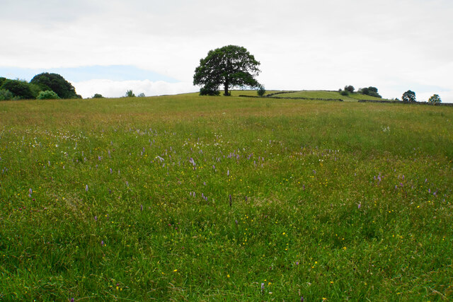
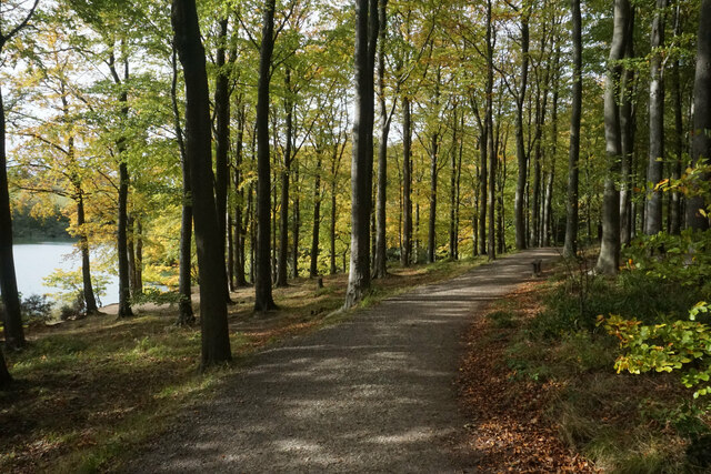
Nutteral Wood is characterized by its dense canopy of ancient trees, primarily consisting of oak, beech, and birch. These towering trees create a serene and tranquil atmosphere, inviting visitors to explore its peaceful surroundings. The forest floor is adorned with a rich carpet of wildflowers, adding bursts of color to the landscape during the spring and summer months.

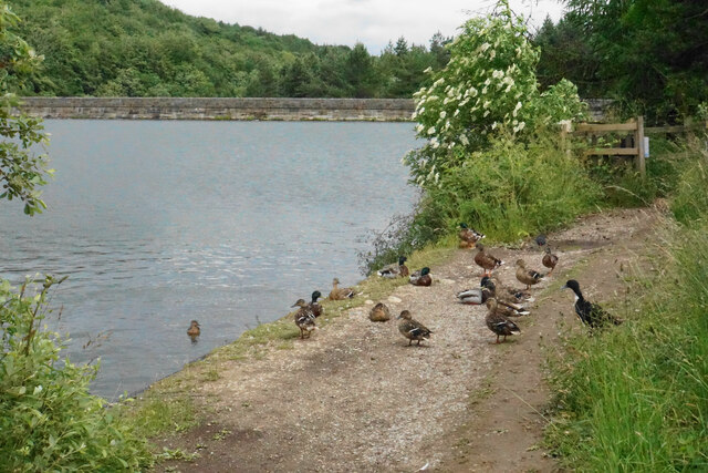
The woodland is home to a variety of wildlife, making it a haven for nature enthusiasts. Visitors may spot roe deer, red foxes, and badgers, among other creatures, as they wander through the forest. Birdwatchers will also find delight in observing the numerous species that inhabit the wood, including woodpeckers, owls, and various songbirds.

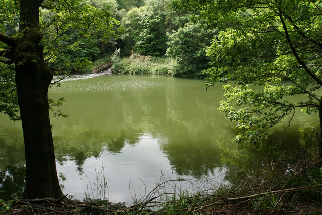
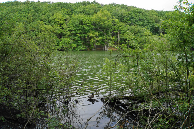
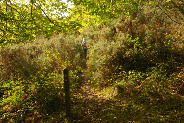
Nutteral Wood offers a network of well-maintained walking trails, allowing visitors to immerse themselves in nature and explore the area at their own pace. These paths wind through the forest, offering glimpses of babbling brooks, peaceful ponds, and breathtaking viewpoints. The wood's proximity to nearby villages and towns makes it easily accessible for day trips or longer stays, providing a perfect escape from the hustle and bustle of everyday life.

Overall, Nutteral Wood is a captivating destination that showcases the beauty of nature in Derbyshire. Its verdant forests, diverse wildlife, and tranquil ambiance make it a cherished gem within the Peak District National Park.

If you have any feedback on the listing, please let us know in the comments section below.

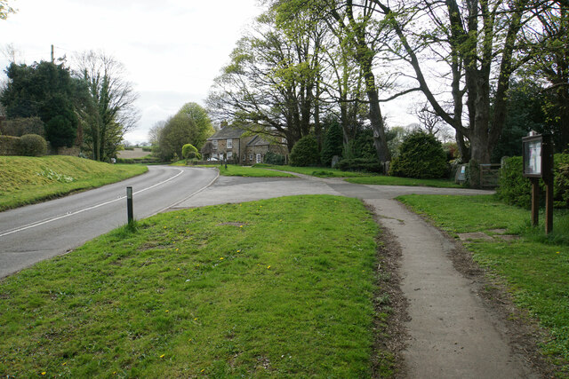
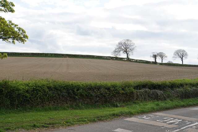
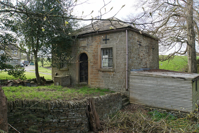
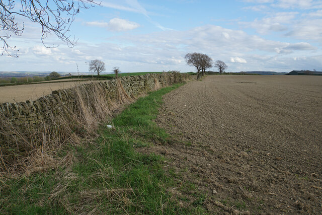
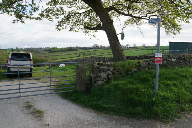
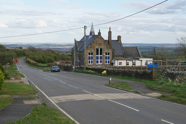
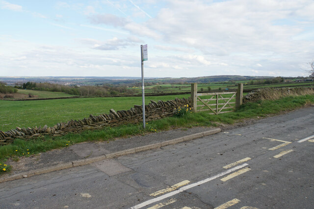
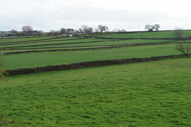
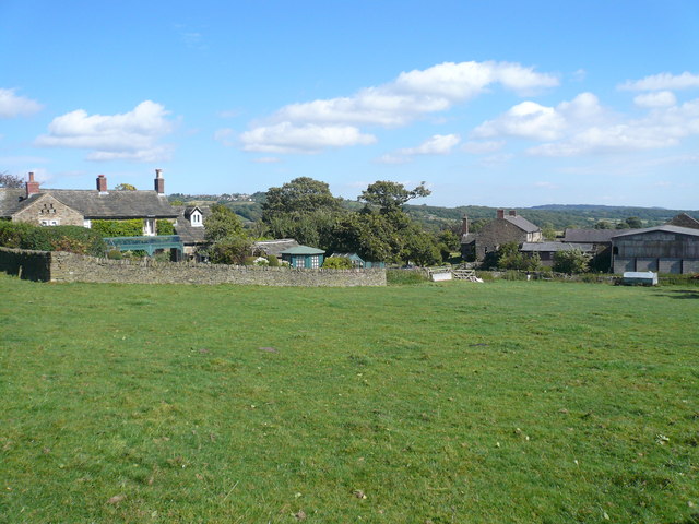
Nutteral Wood Images

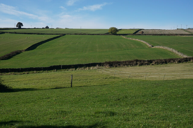
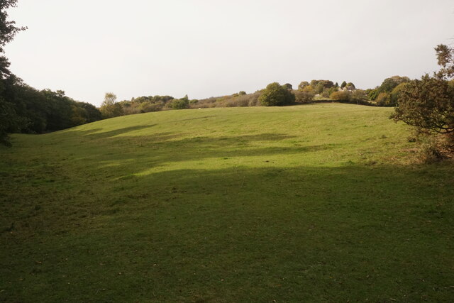
Images are sourced within 2km of 53.25342/-1.5306902 or Grid Reference SK3173. Thanks to Geograph Open Source API. All images are credited.

The head of Middle Linacre Reservoir Opposite is the outflow from the Upper Reservoir.
The head of Middle Linacre Reservoir
Opposite is the outflow from the Upper Reservoir.
Upper Linacre Reservoir Much of it is surrounded by ancient woodland.
Upper Linacre Reservoir
Much of it is surrounded by ancient woodland.
Meadow above Upper Linacre Reservoir The meadow has a wide diversity of plants, including marsh orchids.
Meadow above Upper Linacre Reservoir
The meadow has a wide diversity of plants, including marsh orchids.
Ducks gathering by Upper Linacre Reservoir The reservoir dam is seen behind.
Ducks gathering by Upper Linacre Reservoir
The reservoir dam is seen behind.
Hemming Green The road is climbing steadily from Old Brampton. On the right is a parish council noticeboard.
Hemming Green
The road is climbing steadily from Old Brampton. On the right is a parish council noticeboard.
Prepared field at Hollins Coming up from Old Brampton, this is the first bit of open field that you see, as most of the road is bounded by houses or foliage.
Prepared field at Hollins
Coming up from Old Brampton, this is the first bit of open field that you see, as most of the road is bounded by houses or foliage.
Hollins Wesleyan Chapel I think the date says 1846. The building is not now in use.
Hollins Wesleyan Chapel
I think the date says 1846. The building is not now in use.
Field boundary at Hollins An area of arable farmland with extensive views eastwards over Chesterfield.
Field boundary at Hollins
An area of arable farmland with extensive views eastwards over Chesterfield.
Footpath to Wadshelf Wadshelf is seen on top of the rise ahead. The path will have to drop and then climb again.
Footpath to Wadshelf
Wadshelf is seen on top of the rise ahead. The path will have to drop and then climb again.
Wigley Primary School A very small rural primary school with I think just two classes. The building enjoys extensive views over North East Derbyshire.
Wigley Primary School
A very small rural primary school with I think just two classes. The building enjoys extensive views over North East Derbyshire.
Bus stop by Wigley Primary School Situated on School Lane which comes from Wadshelf. There is a view over farmland  down to Chesterfield.
Bus stop by Wigley Primary School
Situated on School Lane which comes from Wadshelf. There is a view over farmland down to Chesterfield.
Fields below School Lane Fields for livestock with the village of Wadshelf in the background.
Fields below School Lane
Fields for livestock with the village of Wadshelf in the background.
House at Crossgates Farm
Fields near Wadshelf Fairly old field patterns. Wadshelf is off to the left and School Lane follows the line of the wall which traverses below the top of the ridge.
Fields near Wadshelf
Fairly old field patterns. Wadshelf is off to the left and School Lane follows the line of the wall which traverses below the top of the ridge.
Path by Upper Linacre Reservoir Finally showing some autumn colour.
Path by Upper Linacre Reservoir
Finally showing some autumn colour.
Public footpath near Birley Wood The path goes through a patch of head-high gorse.
Public footpath near Birley Wood
The path goes through a patch of head-high gorse.
Field above Birley Brook Looking up towards Birley Farm in the trees on the top of the hill.
Field above Birley Brook
Looking up towards Birley Farm in the trees on the top of the hill.
Path down to Birley Brook The image doesn't convey the gradient, and the mud would be quite treacherous in wetter conditions.
Path down to Birley Brook
The image doesn't convey the gradient, and the mud would be quite treacherous in wetter conditions.
Show me another place!

Nutteral Wood is located at Grid Ref: SK3173 (Lat: 53.25342, Lng: -1.5306902)

Administrative County: Derbyshire

District: North East Derbyshire

Police Authority: Derbyshire

What 3 Words

///slurs.juniors.satin. Near Walton, Derbyshire

Related Wikis

Nearby Amenities

Located within 500m of 53.25342,-1.5306902
Ford: yes
Lat/Long: 53.2543901/-1.5331716
Barrier: stile
Foot: yes
Step Count: 1
Stile: stepover
Lat/Long: 53.2502814/-1.5262859
Bench
Backrest: yes
Ele: 264.0000000
Material: dry_stone
Lat/Long: 53.2552927/-1.5263509
Barrier: stile
Ele: 263.0000000
Steps: 3
Stile: wall
Lat/Long: 53.2552031/-1.5255729
Barrier: stile
Ele: 264.0000000
Steps: 4
Stile: wall
Lat/Long: 53.255295/-1.5264122
Ele: 264
Lat/Long: 53.2552732/-1.5268176
Barrier: stile
Material: stone
Steps: 3
Stile: stepover
Lat/Long: 53.2563374/-1.5269769
Barrier: stile
Material: stone
Stile: stepover
Lat/Long: 53.2560916/-1.5269893
Barrier: stile
Material: stone
Step Count: 2
Steps: 2
Stile: stepover
Lat/Long: 53.2568839/-1.5272801
Ford: yes
Lat/Long: 53.2512103/-1.525296
Barrier: stile
Material: wood
Source: survey;gps
Stile: stepover
Lat/Long: 53.2530978/-1.5274529
Barrier: stile
Material: wood
Source: survey;gps
Stile: stepover
Lat/Long: 53.2538419/-1.5273328
Barrier: stile
Material: stone
Source: survey;gps
Stile: stepover
Lat/Long: 53.2552493/-1.5268159
Bicycle: designated
Foot: designated
Ford: yes
Horse: designated
Lat/Long: 53.2543851/-1.5331607
Barrier: stile
Lat/Long: 53.256717/-1.5278384
Barrier: stile
Step Count: 2
Stile: stepover
Lat/Long: 53.2512646/-1.5278024
Barrier: stile
Step Count: 2
Stile: stepover
Lat/Long: 53.2515944/-1.5357868
The data included in this document is from www.openstreetmap.org. The data is made available under ODbL.

Have you been to Nutteral Wood?

Leave your review of Nutteral Wood below (or comments, questions and feedback).