Ireton Gardens
Downs, Moorland in Derbyshire Amber Valley
England
Ireton Gardens
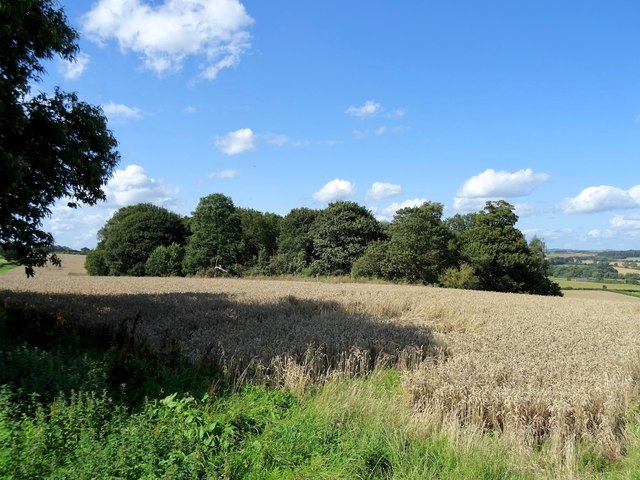
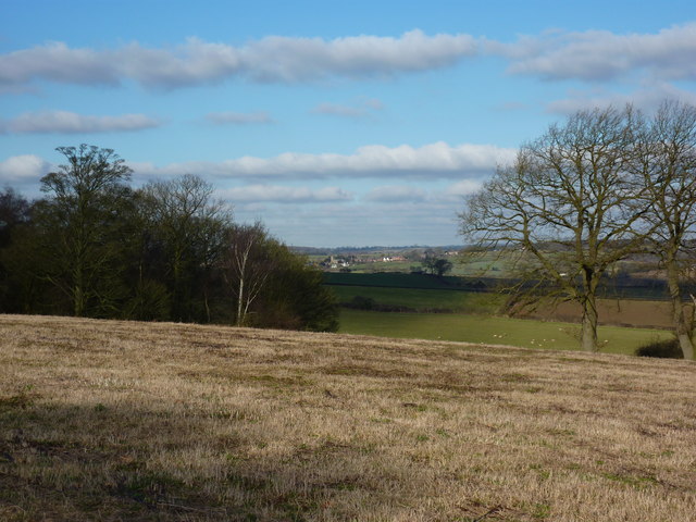
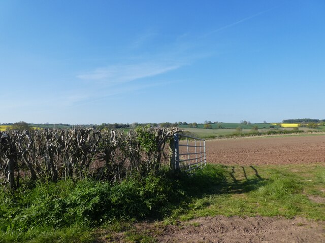
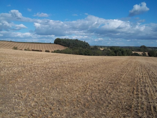
Ireton Gardens, located in Derbyshire, England, is a picturesque area encompassing both downs and moorland landscapes. Spanning approximately 200 acres, this natural haven offers visitors a diverse range of stunning views and beautiful flora and fauna.
The downs section of Ireton Gardens boasts rolling hills, covered in lush green grasses and wildflowers. The undulating terrain provides panoramic vistas of the surrounding countryside, offering visitors the opportunity to take in the breathtaking beauty of the area. It is a popular spot for hiking and walking enthusiasts, who can traverse the well-maintained paths and enjoy the tranquil surroundings.
The moorland section of Ireton Gardens is characterized by its rugged and untamed beauty. Here, visitors can explore the vast expanse of heather-covered terrain, dotted with rocky outcrops and scattered woodland. The moorland is home to a variety of wildlife, including birds of prey, deer, and small mammals, making it a haven for nature lovers and birdwatchers alike.
The gardens are also home to a variety of plant species, with wildflowers such as bluebells, primroses, and foxgloves adding bursts of color to the landscape. The diverse habitats found within Ireton Gardens support a rich array of plant and animal life, making it an important conservation area in Derbyshire.
Overall, Ireton Gardens offers visitors the chance to immerse themselves in the natural beauty of Derbyshire. Whether exploring the rolling downs or the wild moorland, visitors are sure to be captivated by the stunning scenery and abundant wildlife found within this tranquil haven.
If you have any feedback on the listing, please let us know in the comments section below.
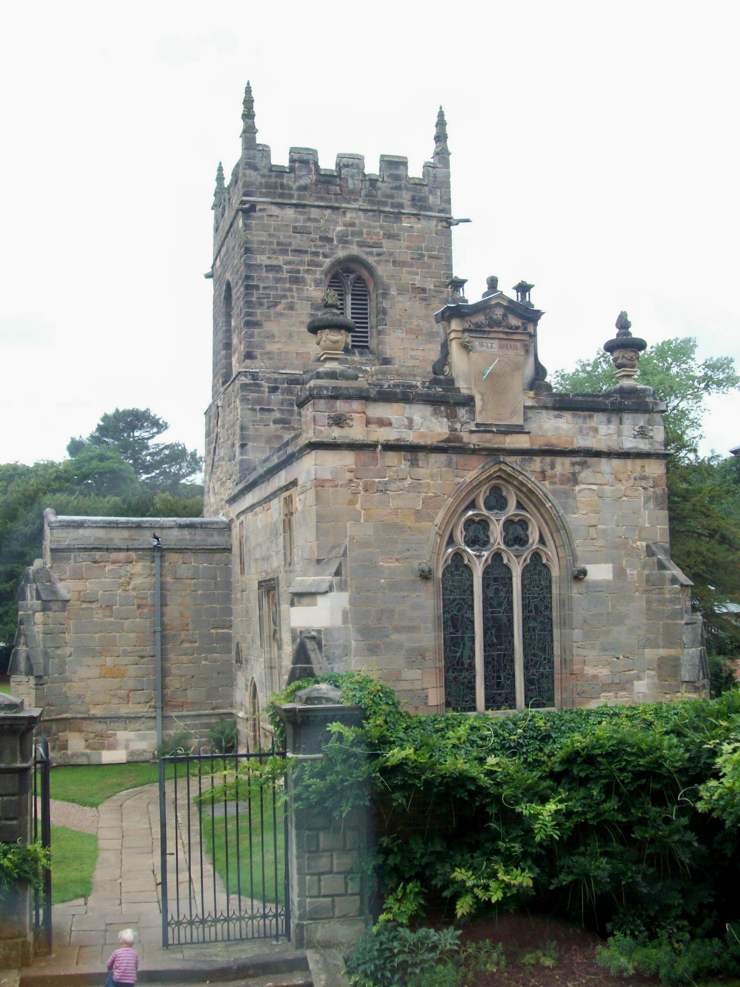
Ireton Gardens Images
Images are sourced within 2km of 52.970558/-1.5370489 or Grid Reference SK3141. Thanks to Geograph Open Source API. All images are credited.


Ireton Gardens is located at Grid Ref: SK3141 (Lat: 52.970558, Lng: -1.5370489)
Administrative County: Derbyshire
District: Amber Valley
Police Authority: Derbyshire
What 3 Words
///adding.plots.aspect. Near Duffield, Derbyshire
Nearby Locations
Related Wikis
Kedleston
Kedleston is a village and civil parish in the Amber Valley district of Derbyshire, approximately 4 miles (6.4 km) north-west of Derby. Nearby places include...
All Saints Church, Kedleston
All Saints' Church, Kedleston, is a redundant Anglican Church approx. 4 miles [6km] north-west of Derby, and all that remains of the medieval village of...

Kedleston Hall
Kedleston Hall is a neo-classical manor house owned by the National Trust, and seat of the Curzon family, located in Kedleston, Derbyshire, approximately...

Meynell Langley
Meynell Langley is a small area of settlement in Derbyshire, England. It is located between Kirk Langley and Kedleston. Meynell Langley Hall is the ancestral...

Weston Underwood, Derbyshire
Weston Underwood is an agricultural village and civil parish in the Amber Valley district of Derbyshire. The population of the Civil Parish (comprising...

Quarndon
Quarndon is a linear village in the south of the Amber Valley District of Derbyshire, England. It is spread along four minor upland roads, approximately...

St Paul's Church, Quarndon
St Paul's Church, Quarndon is a Grade II listed parish church in the Church of England: 300 in Quarndon, Derbyshire. == History == The old church was...

Allestree Woodlands School
Allestree Woodlands School (formerly Woodlands School) is a coeducational academy secondary school and sixth form in Derby, England. == Admissions == The...
Nearby Amenities
Located within 500m of 52.970558,-1.5370489Have you been to Ireton Gardens?
Leave your review of Ireton Gardens below (or comments, questions and feedback).