Newkennel Plantation

Wood, Forest in Derbyshire Amber Valley

England

Newkennel Plantation

Salts Plantation A patch of woodland by Cutler Brook that's been here since at least the late 19th century.
Salts Plantation Credit: Ian Calderwood

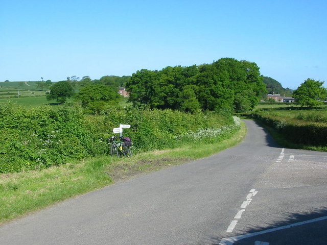
Newkennel Plantation is a picturesque woodland area located in Derbyshire, England. Covering a vast expanse, this plantation is a part of the larger Newkennel Forest and is renowned for its natural beauty and diverse ecosystem.

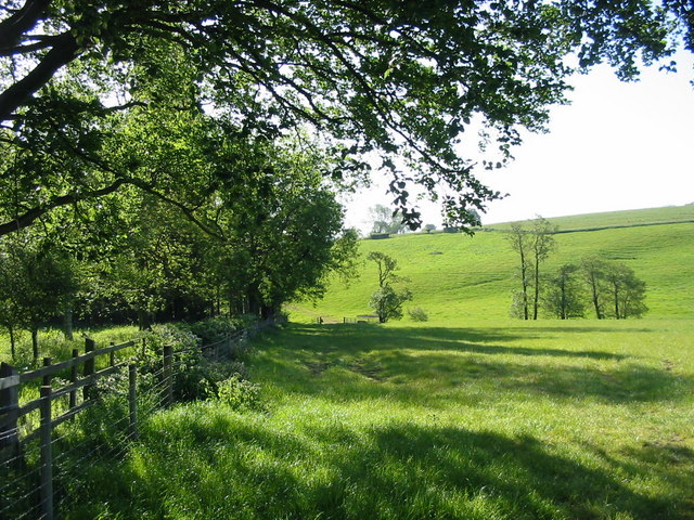
The woodland is predominantly composed of mature trees, including oak, beech, and birch, which provide a dense canopy that offers shade and shelter to a wide variety of flora and fauna. The forest floor is carpeted with a rich layer of moss, ferns, and wildflowers, creating a vibrant and enchanting atmosphere.

Newkennel Plantation is home to numerous wildlife species, making it a popular destination for nature enthusiasts and birdwatchers. Visitors can spot a range of native birds, including woodpeckers, owls, and various songbirds. Deer, foxes, and rabbits are also frequently sighted, adding to the charm of the woodland.

The plantation offers several walking trails that allow visitors to explore its beauty at their own pace. These paths meander through the trees, with occasional clearings offering stunning views of the surrounding countryside. The tranquil ambiance and fresh air make it an ideal spot for a leisurely stroll or a peaceful picnic.

Newkennel Plantation is open to the public year-round and is easily accessible by car or public transport. The plantation is well-maintained, with clear signage and designated parking areas. It is a true gem of Derbyshire, offering a tranquil escape into nature and providing a valuable habitat for a diverse range of flora and fauna.

If you have any feedback on the listing, please let us know in the comments section below.

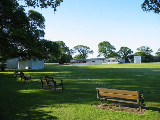
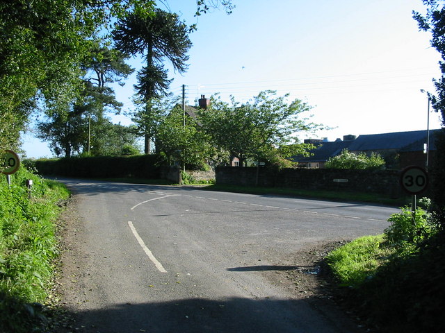
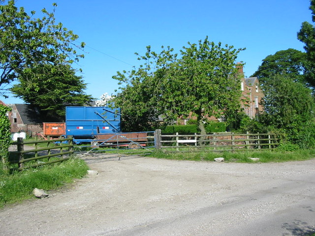
Newkennel Plantation Images

Images are sourced within 2km of 52.974361/-1.5301284 or Grid Reference SK3141. Thanks to Geograph Open Source API. All images are credited.

Salts Plantation A patch of woodland by Cutler Brook that's been here since at least the late 19th century.
Salts Plantation
A patch of woodland by Cutler Brook that's been here since at least the late 19th century.
New woodland above Weston Underwood
Kedleston Hall Built in 1765 for the Curzon family Kedleston Hall sits to the west of Derby within an expanse of attractive parkland. It is looked after by the National Trust.
Kedleston Hall
Built in 1765 for the Curzon family Kedleston Hall sits to the west of Derby within an expanse of attractive parkland. It is looked after by the National Trust.
Quarndon Cricket Ground The cricket ground enjoys a delightful setting at the top of the village with views over the surrounding countryside.
Quarndon Cricket Ground
The cricket ground enjoys a delightful setting at the top of the village with views over the surrounding countryside.
Park Nook Farm Park Nook farm is situated just outside the village of Quarndon.
Park Nook Farm
Park Nook farm is situated just outside the village of Quarndon.
Open Farmland at Cumberhill A view over open farmland from the Cumberhills road.  Cumberhills road leads up a steep hill from Duffield out into the open countryside near Kedleston.
Open Farmland at Cumberhill
A view over open farmland from the Cumberhills road. Cumberhills road leads up a steep hill from Duffield out into the open countryside near Kedleston.
Champion Farm This track leads down to Champion Farm from the Cumberhills road.  Champion Farm sits high on the hillside overlooking Duffield.
Champion Farm
This track leads down to Champion Farm from the Cumberhills road. Champion Farm sits high on the hillside overlooking Duffield.
Cocks-hut-hill Farm Curiously named farm on a back lane near Duffield.
Cocks-hut-hill Farm
Curiously named farm on a back lane near Duffield.
Newlands Farm Newlands Farm lies on a quiet lane above the Ecclesbourne valley near to Duffield.
Newlands Farm
Newlands Farm lies on a quiet lane above the Ecclesbourne valley near to Duffield.
Road Junction at Gun Hills The road ahead leads to Weston Underwood, to the right is Windley.
Road Junction at Gun Hills
The road ahead leads to Weston Underwood, to the right is Windley.
Moated site west of Farnah Hall The fenced off wooded area hides a large moated site some 100m west of an entrance to the ruined Farnah Hall. At the time of the photograph, there was no water in the moat, although water could be heard running in the overgrown fenced area leading from the moat (to left of picture).
Moated site west of Farnah Hall
The fenced off wooded area hides a large moated site some 100m west of an entrance to the ruined Farnah Hall. At the time of the photograph, there was no water in the moat, although water could be heard running in the overgrown fenced area leading from the moat (to left of picture).
Kedleston Hall, the back of the house
Gothic Temple near Kedleston Park This gothic temple is on the edge of a wood close to Kedleston Park.  It appears to be a private residence now.
Gothic Temple near Kedleston Park
This gothic temple is on the edge of a wood close to Kedleston Park. It appears to be a private residence now.
Kedleston Park Lodges Lodges at the entrance to Kedleston Park National Trust property.
Kedleston Park Lodges
Lodges at the entrance to Kedleston Park National Trust property.
Draycott Plantation The Centenary Way long distance path runs close to Draycott Plantation between Weston Underwood and Duffield.
Draycott Plantation
The Centenary Way long distance path runs close to Draycott Plantation between Weston Underwood and Duffield.
The Kedleston Hotel and Restaurant The hotel is at the junction of Inn Lane and Kedleston Road, very close to Kedleston Park and Hall.
The Kedleston Hotel and Restaurant
The hotel is at the junction of Inn Lane and Kedleston Road, very close to Kedleston Park and Hall.
Kedleston Hall bridge Taken from Kedleston Hall, this photograph shows the Robert Adam bridge over the lake.
Kedleston Hall bridge
Taken from Kedleston Hall, this photograph shows the Robert Adam bridge over the lake.
Kedleston Hall (rear view)
Show me another place!

Newkennel Plantation is located at Grid Ref: SK3141 (Lat: 52.974361, Lng: -1.5301284)

Administrative County: Derbyshire

District: Amber Valley

Police Authority: Derbyshire

What 3 Words

///mobile.risen.vows. Near Duffield, Derbyshire

Related Wikis

Kedleston

Kedleston is a village and civil parish in the Amber Valley district of Derbyshire, approximately 4 miles (6.4 km) north-west of Derby. Nearby places include...

Kedleston Hall

Kedleston Hall is a neo-classical manor house owned by the National Trust, and seat of the Curzon family, located in Kedleston, Derbyshire, approximately...

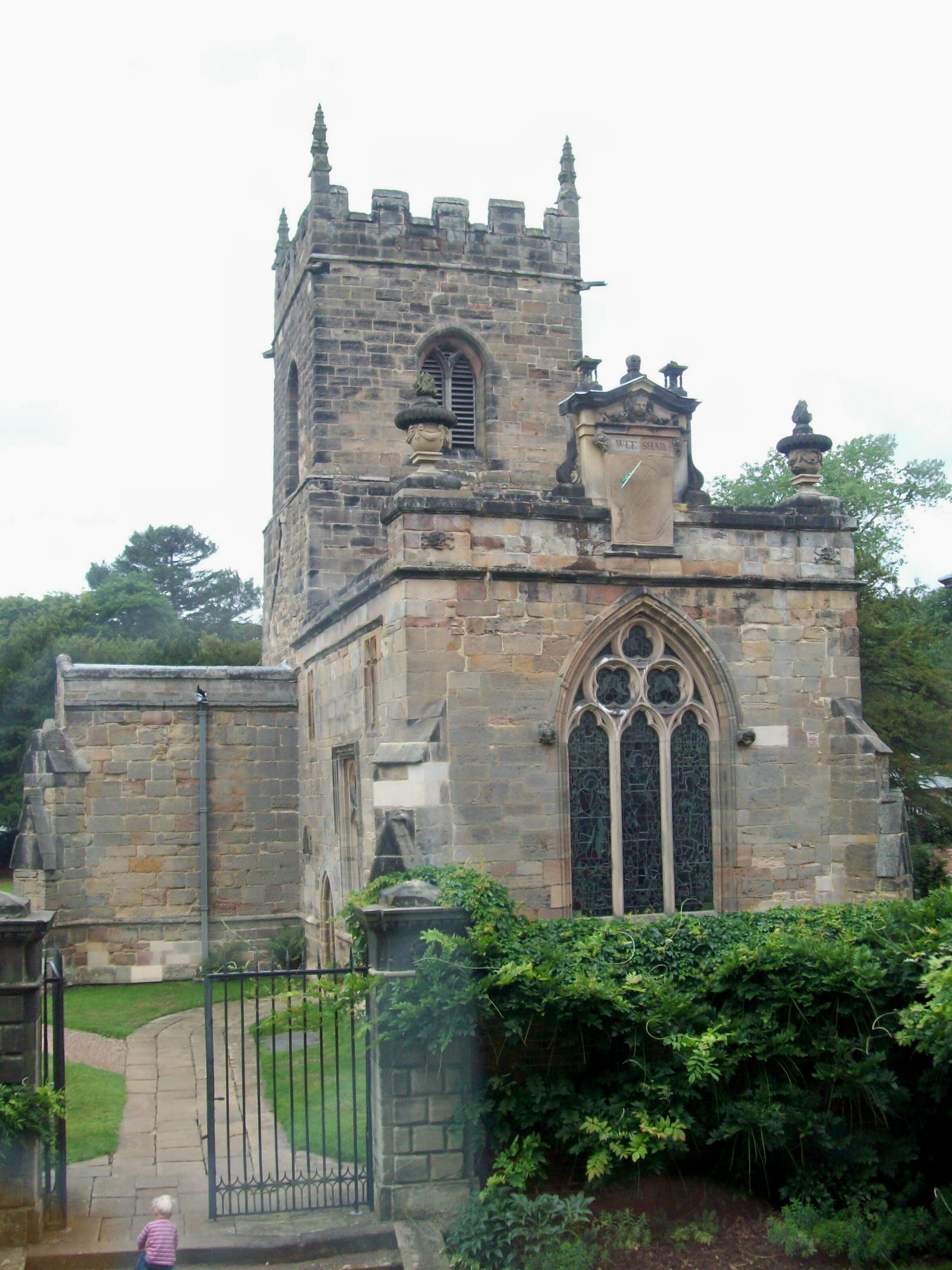
All Saints Church, Kedleston

All Saints' Church, Kedleston, is a redundant Anglican Church approx. 4 miles [6km] north-west of Derby, and all that remains of the medieval village of...

Quarndon

Quarndon is a linear village in the south of the Amber Valley District of Derbyshire, England. It is spread along four minor upland roads, approximately...

St Paul's Church, Quarndon

St Paul's Church, Quarndon is a Grade II listed parish church in the Church of England: 300  in Quarndon, Derbyshire. == History == The old church was...

Weston Underwood, Derbyshire

Weston Underwood is an agricultural village and civil parish in the Amber Valley district of Derbyshire. The population of the Civil Parish (comprising...

Meynell Langley

Meynell Langley is a small area of settlement in Derbyshire, England. It is located between Kirk Langley and Kedleston. Meynell Langley Hall is the ancestral...

The Ecclesbourne School

The Ecclesbourne School is a secondary school with academy status situated in Duffield, Derbyshire, England. == History == Since opening in 1957 as a small...

Nearby Amenities

Located within 500m of 52.974361,-1.5301284
Barrier: stile
Lat/Long: 52.9748801/-1.5360161
Barrier: stile
Lat/Long: 52.976082/-1.5344894
Gothic Temple
Historic: monument
Source Name: bus stop opposite
Lat/Long: 52.9725401/-1.5267992
The data included in this document is from www.openstreetmap.org. The data is made available under ODbL.

Have you been to Newkennel Plantation?

Leave your review of Newkennel Plantation below (or comments, questions and feedback).