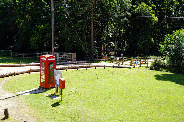
Paradise Copse

Wood, Forest in Hampshire New Forest

England

Paradise Copse

The Haywain on Southampton Road The Haywain is a Stonehouse public house.
The Haywain on Southampton Road Credit: Steve Daniels

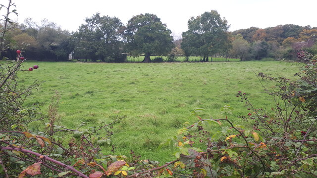
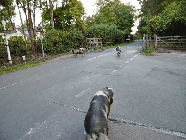
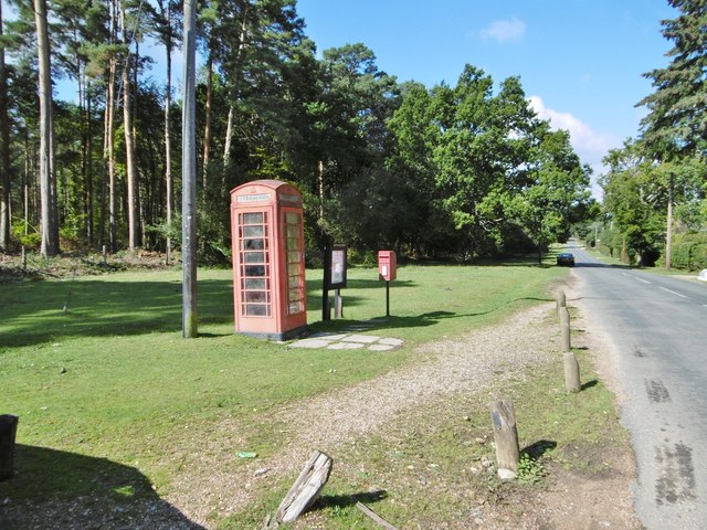
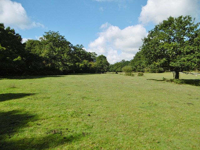
Paradise Copse is a picturesque woodland located in Hampshire, England. Spanning an area of approximately 50 acres, this ancient forest is known for its diverse range of flora and fauna, making it a popular destination for nature enthusiasts and hikers alike.

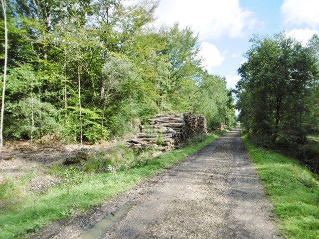
The copse is characterized by its dense canopy of broadleaf trees, including oak, beech, and hazel, which provide a rich habitat for a variety of wildlife species. The forest floor is adorned with a carpet of bluebells and wildflowers during spring, adding to the enchanting atmosphere of the wood.

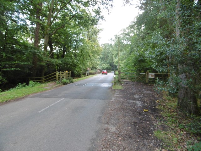
Tranquil walking trails wind their way through the copse, allowing visitors to explore the natural beauty at their own pace. Along these trails, one can spot a plethora of bird species, such as woodpeckers, nuthatches, and tawny owls, as well as small mammals like squirrels and rabbits.

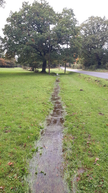
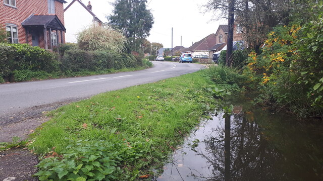
Paradise Copse is also home to a diverse range of insects and invertebrates, including butterflies, beetles, and spiders. The forest ecosystem thrives due to the presence of a small stream that meanders through the wood, providing a water source for the inhabitants.

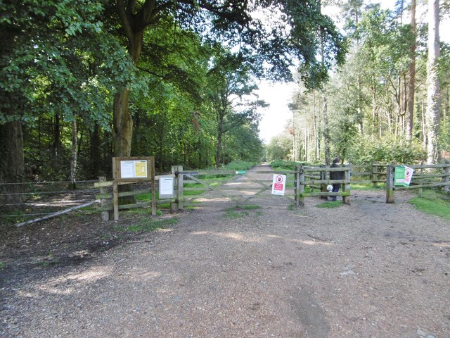
The copse is managed by the local authorities, who ensure its preservation and promote responsible visitation. Visitors are encouraged to follow the designated trails, respect the natural environment, and avoid littering.

Overall, Paradise Copse offers a serene escape from the hustle and bustle of daily life, providing a haven for both nature lovers and those seeking tranquility in the heart of Hampshire.

If you have any feedback on the listing, please let us know in the comments section below.

Paradise Copse Images

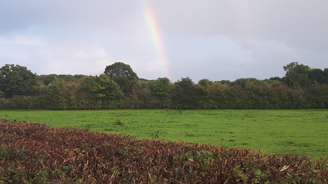
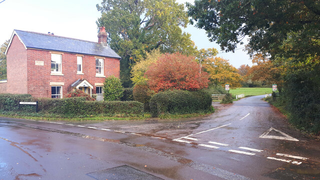
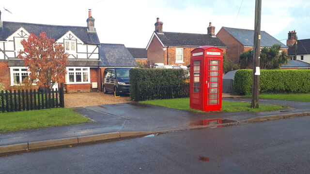
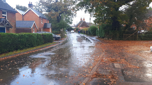
Images are sourced within 2km of 50.911698/-1.5512157 or Grid Reference SU3112. Thanks to Geograph Open Source API. All images are credited.

The Haywain on Southampton Road The Haywain is a Stonehouse public house.
The Haywain on Southampton Road
The Haywain is a Stonehouse public house.
The Royal British Legion in Cadnam
Communication centre - Woodlands Well, it's just a postbox, noticeboard and a TCB - but the TCB has been decommissioned! The track leads into Busketts Lawn Inclosure
Communication centre - Woodlands
Well, it's just a postbox, noticeboard and a TCB - but the TCB has been decommissioned! The track leads into Busketts Lawn Inclosure
The White Horse public house, Netley Marsh
Roadside stream The ground is saturated and water is flowing over the grass in this small channel beside Woodlands Road.
Roadside stream
The ground is saturated and water is flowing over the grass in this small channel beside Woodlands Road.
Field beside Bartley Road
Full ditch beside Woodlands Road This roadside ditch appears to be near capacity on the last day of October, and will overflow into gardens before reaching the road level.
Full ditch beside Woodlands Road
This roadside ditch appears to be near capacity on the last day of October, and will overflow into gardens before reaching the road level.
Cottages on Chinham Road
Rainbow over field south of Chinham Road
Cottage on a corner at Bartley
Houses and former telephone kiosk at Bartley Now a village information point.
Houses and former telephone kiosk at Bartley
Now a village information point.
Wet walk home Schoolchildren walking home along Winsor Road after a heavy shower.
Wet walk home
Schoolchildren walking home along Winsor Road after a heavy shower.
Woodlands, pannage pigs Foraging on Bartley Road, in the Open Forest. Registered and ringed pigs are allowed out for up to three months, to look for beech mast and acorns, which can be toxic in quantity to other livestock. The leading pig had to be discouraged from tasting my boots. <span class="nowrap"><a title="http://www.newforest.hampshire.org.uk/today1.html" rel="nofollow ugc noopener" href="http://www.newforest.hampshire.org.uk/today1.html">Link</a><img style="margin-left:2px;" alt="External link" title="External link - shift click to open in new window" src="https://s1.geograph.org.uk/img/external.png" width="10" height="10"/></span>
Woodlands, pannage pigs
Foraging on Bartley Road, in the Open Forest. Registered and ringed pigs are allowed out for up to three months, to look for beech mast and acorns, which can be toxic in quantity to other livestock. The leading pig had to be discouraged from tasting my boots. LinkExternal link
Busketts Lawn Inclosure, timber Stacks by the roadside, awaiting collection.
Busketts Lawn Inclosure, timber
Stacks by the roadside, awaiting collection.
Woodlands, cattle grid Leaving Open Forest on Woodlands Road.
Woodlands, cattle grid
Leaving Open Forest on Woodlands Road.
Busketts Lawn Inclosure, gates From Woodlands Road into the inclosure.
Busketts Lawn Inclosure, gates
From Woodlands Road into the inclosure.
Woodlands, street furniture Phone box, noticeboard and postbox (No. SO40 479D) on Woodlands Road at the entrance to Busketts Lawn Inclosure.
Woodlands, street furniture
Phone box, noticeboard and postbox (No. SO40 479D) on Woodlands Road at the entrance to Busketts Lawn Inclosure.
Busketts Lawn "Lawn" is a New Forest term for flat expanses of grassland, closely cropped by commoners' livestock; a botanical speciality is chamomile.
Busketts Lawn
"Lawn" is a New Forest term for flat expanses of grassland, closely cropped by commoners' livestock; a botanical speciality is chamomile.
Show me another place!

Paradise Copse is located at Grid Ref: SU3112 (Lat: 50.911698, Lng: -1.5512157)

Administrative County: Hampshire

District: New Forest

Police Authority: Hampshire

What 3 Words

///brimmed.smirks.blurs. Near Cadnam, Hampshire

Related Wikis

Woodlands, Hampshire

Woodlands is a village in the New Forest National Park of Hampshire, England. The village lies 6 miles (9.7 km) west from Southampton and 2+3⁄4 miles...
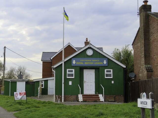
Winsor, Hampshire

Winsor is a village in the civil parish of Copythorne, in Hampshire, England. It is situated within the boundaries of the New Forest National Park. Surrounding...

Bartley, Hampshire

Bartley is a village in Hampshire, England, within the boundaries of the New Forest National Park, seven miles (11 km) west of Southampton. == Overview... ==

Netley Marsh

Netley Marsh is a village and civil parish in Hampshire, close to the town of Totton. It lies within the New Forest District, and the New Forest National...

Related Videos

Dog walking & WILD HORSE spotting in THE NEW FOREST, Hampshire UK

Uploade schedule every Monday at 6pm GMT (apart from December and August in which it will be daily!) COMING IN 2023: ...

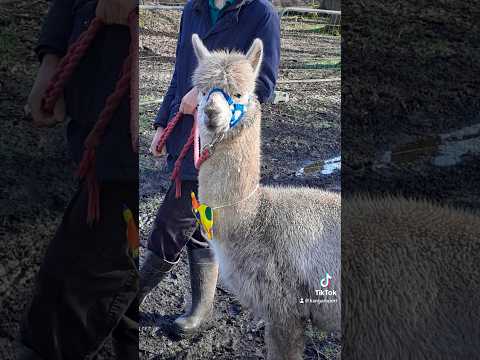
Walking Alpacas in the New Forest

I am soooo excited to show you what we've been up to today! We visited Petlake Alpacas Of The New Forest for an outdoor ...

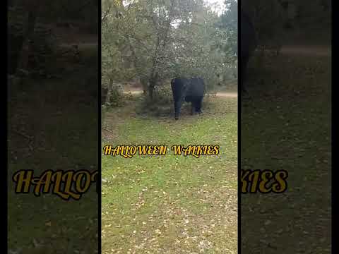
HALLOWEEN SPECIAL(I NEVER FAIL TO DROP IN THE NEW FOREST)🤑😝

entertainment #halloween #jackrussellterrier #walking.

Nearby Amenities

Located within 500m of 50.911698,-1.5512157
Bus Stop
Bartley Tin Church
Bus: yes
Naptan AtcoCode: 1900HA080132
Naptan Bearing: N
Naptan CommonName: Bartley Tin Church
Naptan Crossing: Shepherds Road
Naptan NaptanCode: hamajpgt
Naptan Street: Bartley Road
Naptan Verified: no
Public Transport: platform
Source: naptan_import
Lat/Long: 50.9083649/-1.5539462
Bus Stop
Bartley Tin Church
Bus: yes
Naptan AtcoCode: 1900HA080133
Naptan Bearing: S
Naptan CommonName: Bartley Tin Church
Naptan Crossing: Opp Shepherds Road
Naptan NaptanCode: hamajpgw
Naptan Street: Bartley Road
Naptan Verified: no
Public Transport: platform
Source: naptan_import
Lat/Long: 50.9085897/-1.5539299
Bus Stop
Bourne Bridge
Bench: no
Bin: no
Bus: yes
Lit: no
Naptan AtcoCode: 1900HA080134
Naptan Bearing: N
Naptan CommonName: Bourne Bridge
Naptan Crossing: Paradise Lane
Naptan NaptanCode: hamajpjt
Naptan Street: Bourne Road
Naptan Verified: no
Public Transport: platform
Shelter: no
Source: naptan_import
Tactile Paving: no
Lat/Long: 50.9121145/-1.5536128
Bus Stop
Bourne Bridge
Bench: no
Bin: no
Bus: yes
Lit: no
Naptan AtcoCode: 1900HA080135
Naptan Bearing: S
Naptan CommonName: Bourne Bridge
Naptan Crossing: Paradise Lane
Naptan NaptanCode: hamajpma
Naptan Street: Bourne Road
Naptan Verified: no
Public Transport: platform
Shelter: no
Source: naptan_import
Tactile Paving: no
Lat/Long: 50.9120641/-1.5531924
Bus Stop
Bartley Cafe
Bench: no
Bin: no
Bus: yes
Lit: no
Naptan AtcoCode: 1900HA080136
Naptan Bearing: W
Naptan CommonName: Bartley Cafe
Naptan Crossing: Bourne Road
Naptan NaptanCode: hamajpjd
Naptan Street: Chinham Road
Naptan Verified: no
Public Transport: platform
Shelter: no
Source: naptan_import
Tactile Paving: no
Lat/Long: 50.9147758/-1.5537
Bus Stop
Bartley Cafe
Bench: no
Bin: no
Bus: yes
Lit: no
Naptan AtcoCode: 1900HA080137
Naptan Bearing: E
Naptan CommonName: Bartley Cafe
Naptan Crossing: Bourne Road
Naptan NaptanCode: hamajpjg
Naptan Street: Chinham Road
Naptan Verified: no
Public Transport: platform
Shelter: no
Source: naptan_import
Tactile Paving: no
Lat/Long: 50.9148563/-1.5536725
Bus Stop
Bartley Cafe
Bus: yes
Naptan AtcoCode: 1900HAA09369
Naptan Bearing: E
Naptan CommonName: Bartley Cafe
Naptan Crossing: Bourne Road
Naptan NaptanCode: hamjdpgj
Naptan Street: Ringwood Road
Naptan Verified: no
Public Transport: platform
Source: naptan_import
Lat/Long: 50.9149946/-1.5521474
Bus Stop
Bartley Cafe
Bus: yes
Naptan AtcoCode: 1900HAA09370
Naptan Bearing: W
Naptan CommonName: Bartley Cafe
Naptan Crossing: Bourne Road
Naptan NaptanCode: hamjdpgm
Naptan Street: Ringwood Road
Naptan Verified: no
Public Transport: platform
Source: naptan_import
Lat/Long: 50.9148777/-1.5521343
Public Bookcase
Addr City: Bartley, Southampton
Addr Postcode: SO40 2LH
Addr Street: Shepherds Road
Booth: K6
Disused Amenity: telephone
Man Made: telephone_box
Old Phone: +44 2380 812233
Public Bookcase Type: phone_box
Lat/Long: 50.9089223/-1.554494
Ford: yes
Lat/Long: 50.9117557/-1.5501525
Post Box
Collection Plate: CP7D
Collection Times: Mo-Fr 09:00; Sa 07:00
Operator: Royal Mail
Operator Wikidata: Q638098
Post Box Type: wall
Ref: SO40 191D
Royal Cypher: EIIR
Royal Cypher Wikidata: Q33102113
Lat/Long: 50.9089796/-1.5542883
Mini Roundabout
Source: Bing
Lat/Long: 50.9106406/-1.5505771
Post Box
Collection Plate: CP5
Collection Times: Mo-Fr 16:45; Sa 07:00
Operator: Royal Mail
Operator Wikidata: Q638098
Post Box Type: wall
Ref: SO40 421
Royal Cypher: EVIIR
Royal Cypher Wikidata: Q33102324
Lat/Long: 50.9148805/-1.5484625
Communication Mobile Phone: yes
Man Made: tower
Tower Construction: mast
Tower Type: communication
Lat/Long: 50.914843/-1.5523656
Information: guidepost
Tourism: information
Lat/Long: 50.9089437/-1.5540422
The data included in this document is from www.openstreetmap.org. The data is made available under ODbL.

Have you been to Paradise Copse?

Leave your review of Paradise Copse below (or comments, questions and feedback).