Jacobs Copse
Wood, Forest in Hampshire New Forest
England
Jacobs Copse
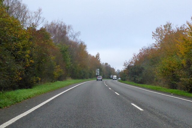
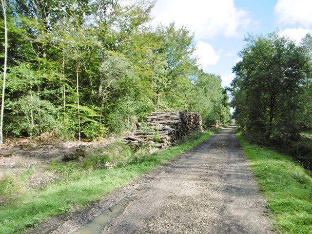
Located in the county of Hampshire, Jacobs Copse is a charming woodland area that offers a tranquil retreat from the bustling city life. Spanning approximately 5 hectares, this forest is a haven for nature lovers and outdoor enthusiasts alike.
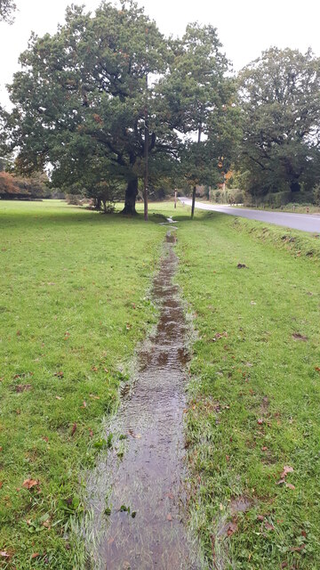
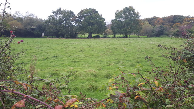
The copse is characterized by its dense growth of various tree species, including oak, beech, and birch. The trees form a lush canopy that provides shade and shelter for a diverse range of flora and fauna. Walking along the well-maintained trails, visitors can appreciate the vibrant display of wildflowers and ferns that carpet the forest floor during the spring and summer months.
Jacobs Copse is also home to an assortment of wildlife, making it a popular spot for birdwatching and animal spotting. Bird species such as woodpeckers, owls, and jays can be observed and heard throughout the year, while mammals like deer and foxes roam freely in the undergrowth.
In addition to its natural beauty, the copse offers various recreational activities. Picnic spots are scattered throughout the forest, providing the perfect setting for a family outing or a peaceful lunch amidst nature. There are also designated areas for camping and barbecuing, allowing visitors to fully immerse themselves in the great outdoors.
Overall, Jacobs Copse is a serene woodland retreat that offers a wealth of natural beauty and recreational opportunities. Whether it's for a leisurely stroll, birdwatching, or simply unwinding amidst nature's embrace, this Hampshire forest provides a peaceful escape for all who venture into its enchanting depths.
If you have any feedback on the listing, please let us know in the comments section below.
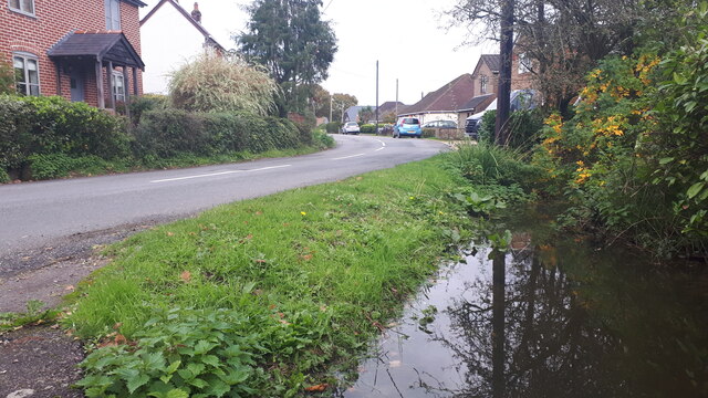
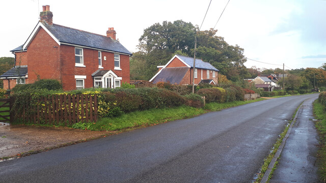
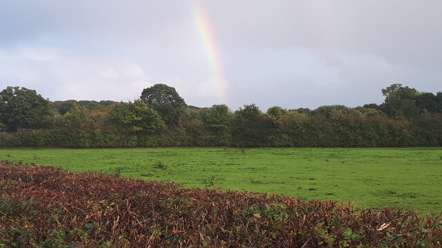
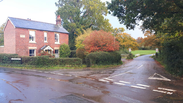
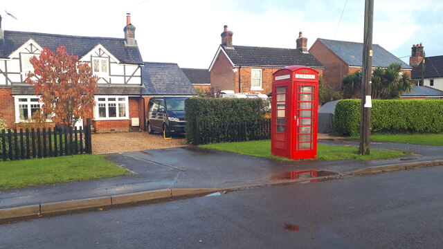
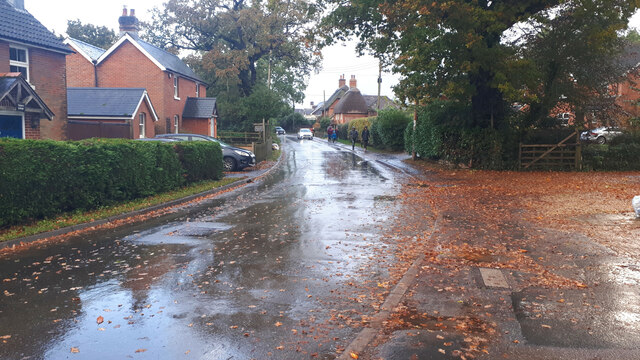
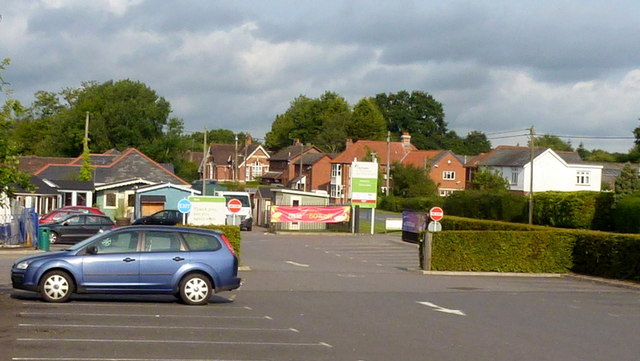
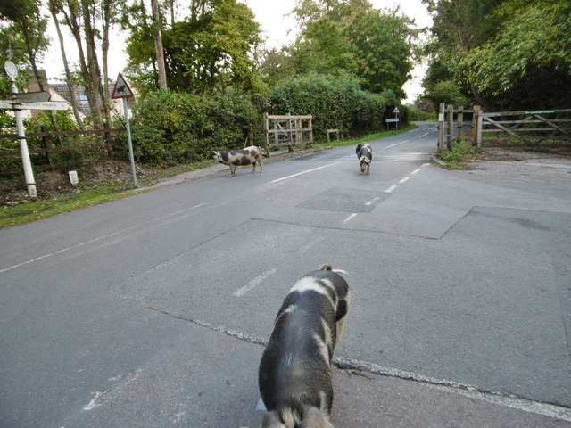
Jacobs Copse Images
Images are sourced within 2km of 50.913951/-1.5478086 or Grid Reference SU3112. Thanks to Geograph Open Source API. All images are credited.

Jacobs Copse is located at Grid Ref: SU3112 (Lat: 50.913951, Lng: -1.5478086)
Administrative County: Hampshire
District: New Forest
Police Authority: Hampshire
What 3 Words
///cope.variation.referral. Near Cadnam, Hampshire
Nearby Locations
Related Wikis

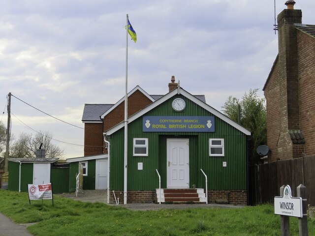
Winsor, Hampshire
Winsor is a village in the civil parish of Copythorne, in Hampshire, England. It is situated within the boundaries of the New Forest National Park. Surrounding...
Netley Marsh
Netley Marsh is a village and civil parish in Hampshire, close to the town of Totton. It lies within the New Forest District, and the New Forest National...
Woodlands, Hampshire
Woodlands is a village in the New Forest National Park of Hampshire, England. The village lies 6 miles (9.7 km) west from Southampton and 2+3⁄4 miles...

Bartley, Hampshire
Bartley is a village in Hampshire, England, within the boundaries of the New Forest National Park, seven miles (11 km) west of Southampton. == Overview... ==

Bartley Lodge
Bartley Lodge is a country house near Cadnam in Hampshire, England, within the boundaries of the New Forest National Park. It was built in the 18th century...

Copythorne
Copythorne is a village and civil parish in Hampshire, England, within the boundaries of the New Forest National Park. == Overview == Copythorne is in...

Tatchbury Mount Hospital
Tatchbury Mount Hospital is a health facility to the north of Totton, Hampshire, England. It is owned and managed by Southern Health NHS Foundation Trust...

Cadnam
Cadnam is a village situated in Hampshire, England, within the boundaries of the New Forest National Park. The village has existed since the medieval period...
Nearby Amenities
Located within 500m of 50.913951,-1.5478086Have you been to Jacobs Copse?
Leave your review of Jacobs Copse below (or comments, questions and feedback).