Quarry Park
Downs, Moorland in Warwickshire Warwick
England
Quarry Park
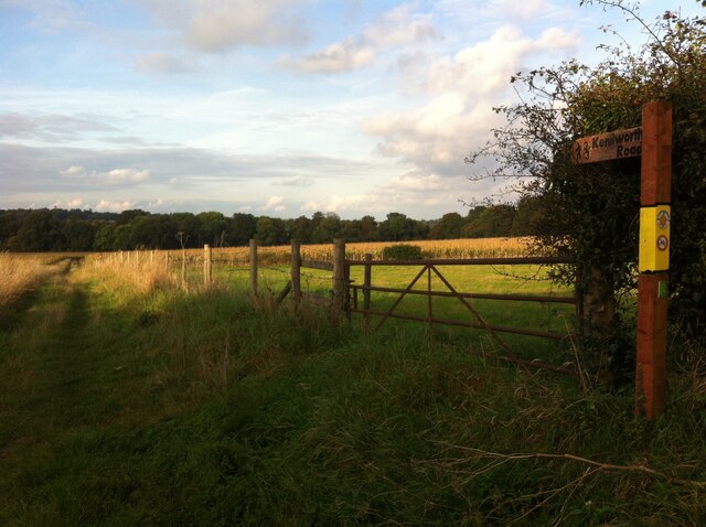
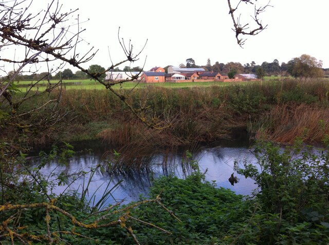
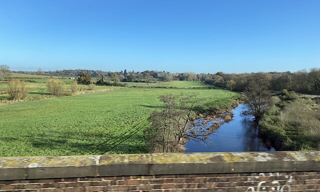
Quarry Park, located in Warwickshire, is a picturesque area that offers a diverse landscape of downs and moorland. Covering an extensive area, the park is a haven for nature enthusiasts and outdoor adventurers alike.
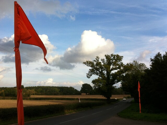
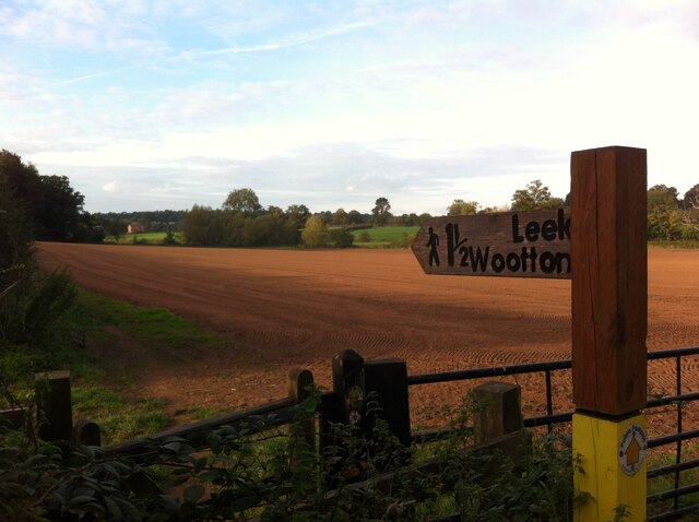
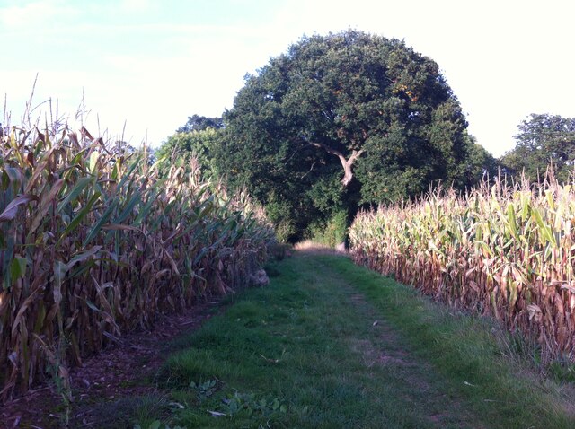
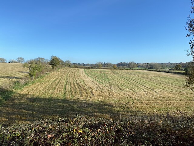
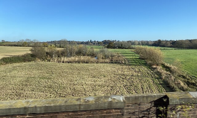
The downs in Quarry Park are characterized by rolling hills covered in lush green grass, creating a serene atmosphere for visitors. The downs provide ample opportunities for leisurely walks, picnics, and stunning panoramic views of the surrounding countryside. Hiking trails weave through the downs, allowing visitors to explore the park at their own pace.
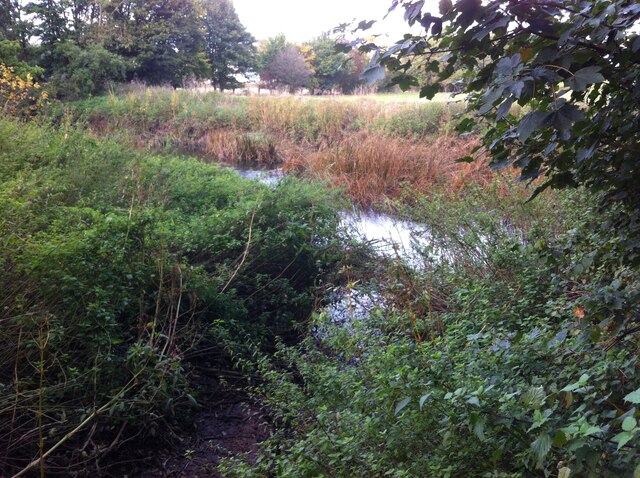
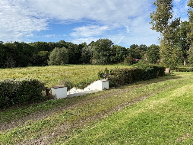
In contrast, the moorland areas of Quarry Park offer a unique and wild landscape. Here, visitors can find heather-covered moorland, dotted with patches of gorse and bracken. The moorland is home to a variety of wildlife, including birds of prey, such as kestrels and buzzards. It is not uncommon to spot rabbits and foxes roaming freely in these areas.
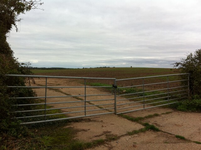
Quarry Park is also known for its rich history, with evidence of quarrying activities dating back centuries. As visitors explore the park, they may come across remnants of old quarry workings, adding an element of intrigue to their journey.
In addition to its natural beauty, Quarry Park offers a range of amenities for visitors. There are designated parking areas, picnic spots, and well-maintained footpaths throughout the park. Visitors can also make use of the visitor center, where they can find information about the park's history, wildlife, and suggested walking routes.
Overall, Quarry Park in Warwickshire is a captivating destination, offering a blend of stunning downs, wild moorland, and a wealth of natural and historical attractions for visitors to enjoy.
If you have any feedback on the listing, please let us know in the comments section below.
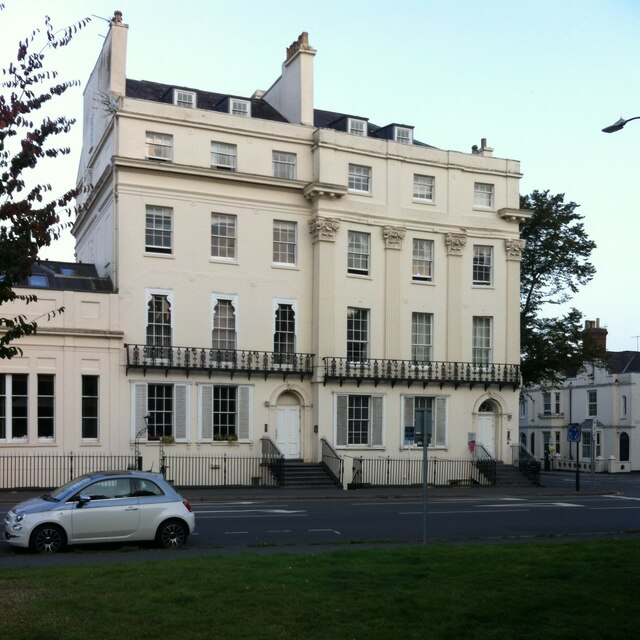
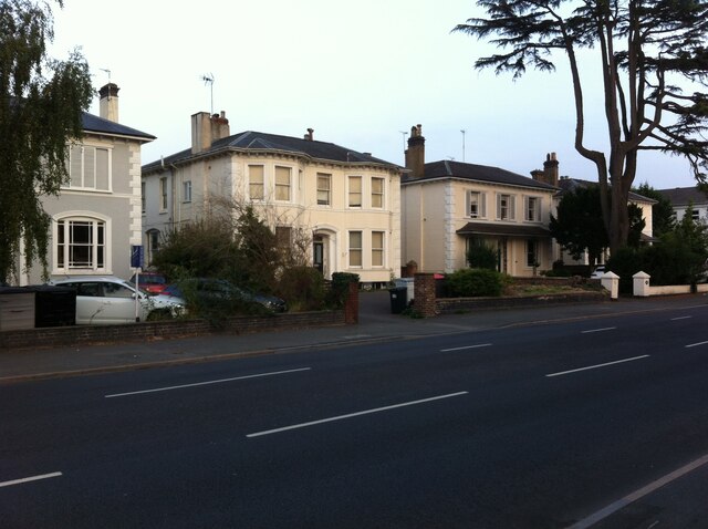
Quarry Park Images
Images are sourced within 2km of 52.309972/-1.5443192 or Grid Reference SP3168. Thanks to Geograph Open Source API. All images are credited.

Quarry Park is located at Grid Ref: SP3168 (Lat: 52.309972, Lng: -1.5443192)
Administrative County: Warwickshire
District: Warwick
Police Authority: Warwickshire
What 3 Words
///bats.swing.cave. Near Leek Wootton, Warwickshire
Nearby Locations
Related Wikis
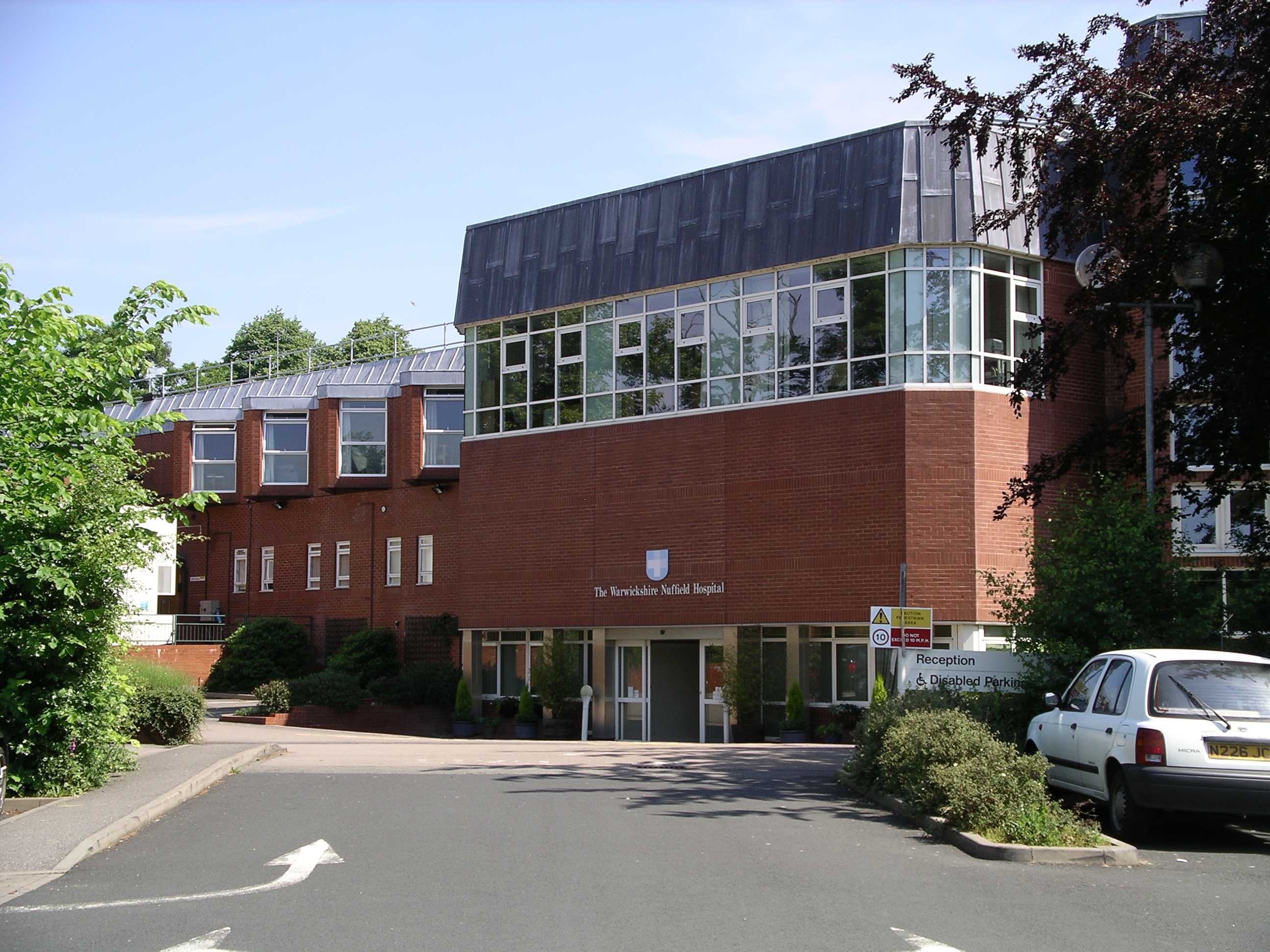
Warwickshire Nuffield Hospital
Warwickshire Nuffield Hospital is a not-for-profit private hospital situated in the north of Leamington Spa, Warwickshire, England. == History == The hospital...

Blackdown, Warwickshire
Blackdown is a hamlet and civil parish in the Warwick district of Warwickshire, England. Blackdown is about two miles north of Leamington Spa, between...
North Leamington School
North Leamington School (NLS) is a mixed, non-selective, comprehensive school for students aged 11 to 18 years located at the northeastern edge of Leamington...
Ashow
Ashow is a small village and civil parish in the Warwick district of Warwickshire, England, about 2.5 miles (4 km) south-east of central Kenilworth. According...

Leamington Cricket Club Ground
Leamington Cricket Club Ground is a cricket ground in Leamington Spa, Warwickshire. == History == The first recorded match on the ground was in 1900, when...
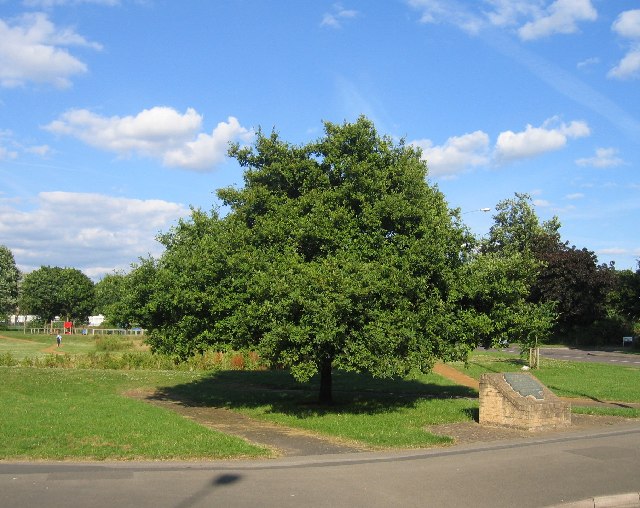
Midland Oak
The Midland Oak is an oak tree that grows in Leamington Spa, Warwickshire, near the Lillington boundary, at the junction of Lillington Road and Lillington...
St Mary Magdalene's Church, Lillington
St Mary Magdalene's Church, Lillington is the Church of England parish church of Lillington, Warwickshire, a part of Royal Leamington Spa with a population...
Arnold Lodge School
Arnold Lodge School is a co-educational independent school in Leamington Spa, Warwickshire, England, founded in 1864. The school has around 300 day pupils...
Nearby Amenities
Located within 500m of 52.309972,-1.5443192Have you been to Quarry Park?
Leave your review of Quarry Park below (or comments, questions and feedback).