Blackdown
Settlement in Warwickshire Warwick
England
Blackdown
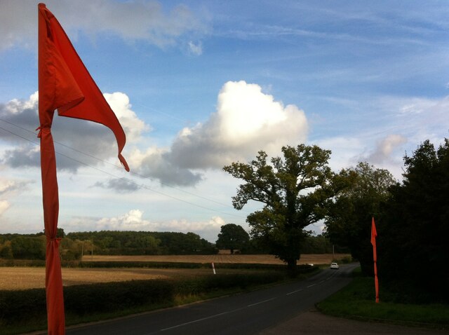
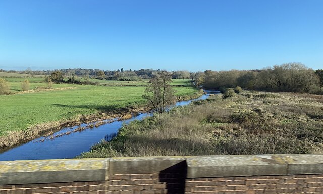
Blackdown is a small village located in the county of Warwickshire, England. Situated on the edge of the Cotswolds, it is surrounded by picturesque countryside, offering residents and visitors a tranquil and scenic setting. The village is positioned just a few miles south of the market town of Leamington Spa and is easily accessible by road.
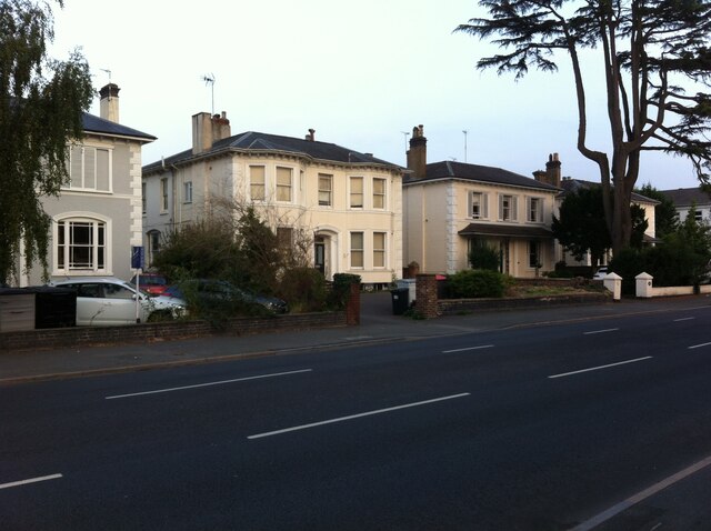
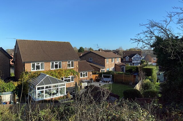
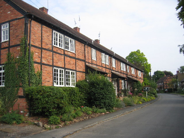
Blackdown is known for its charming and idyllic atmosphere, with traditional stone-built houses and cottages lining its streets. The village is home to a small but close-knit community, with a population of around 500 people. The residents take great pride in maintaining the village's rural character and preserving its heritage.
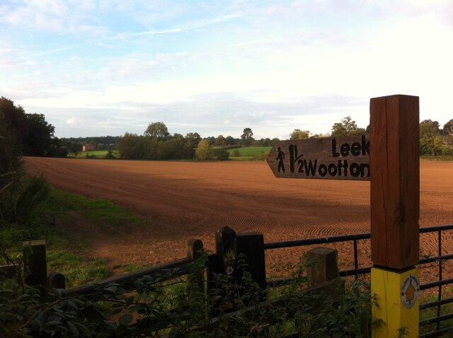
Although small in size, Blackdown offers a range of amenities for its residents. These include a village hall, a local pub serving traditional British cuisine, and a primary school, providing education for the younger generation. Outdoor enthusiasts can take advantage of the numerous walking and cycling trails that meander through the surrounding countryside, offering breathtaking views and opportunities for wildlife spotting.
Blackdown is also conveniently located for those seeking further amenities and entertainment. The nearby town of Leamington Spa provides a wider range of shops, restaurants, and leisure facilities, ensuring that residents have easy access to all the necessities of modern life.
Overall, Blackdown offers a peaceful and picturesque rural lifestyle, where residents can enjoy the beauty of the English countryside while still being within reach of larger towns and cities.
If you have any feedback on the listing, please let us know in the comments section below.
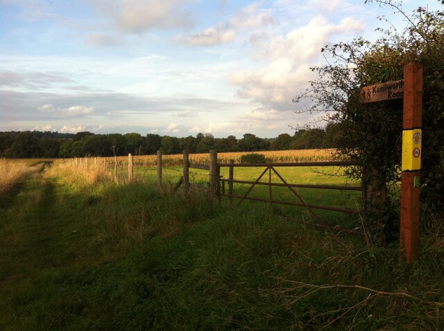
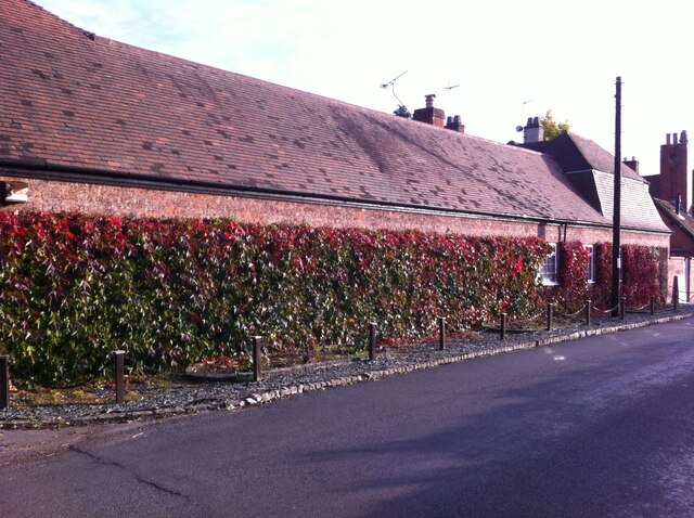
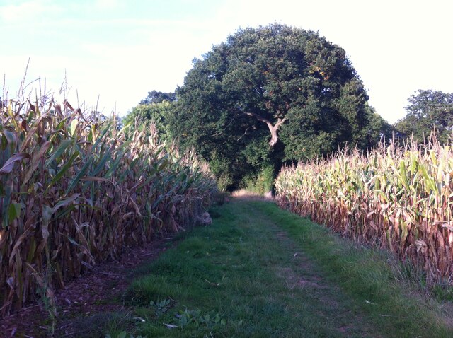
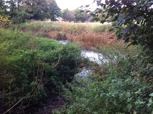
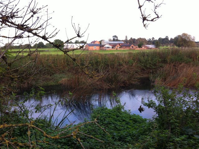
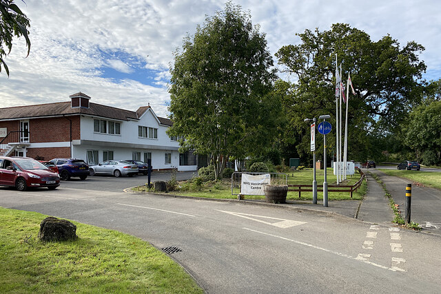
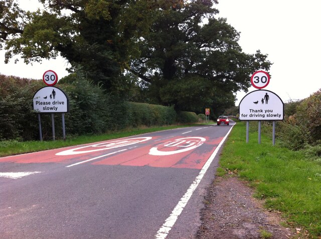
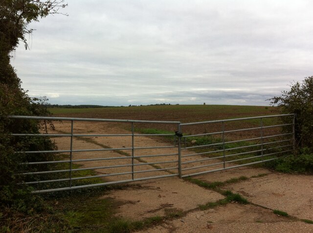
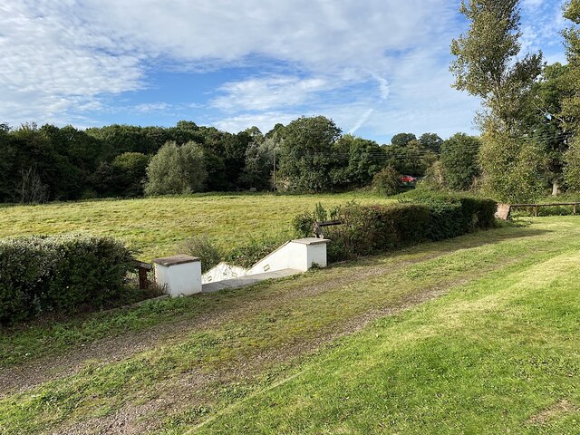
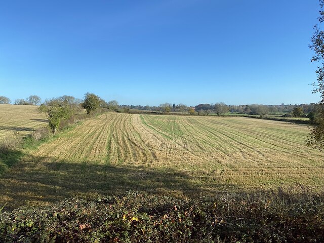
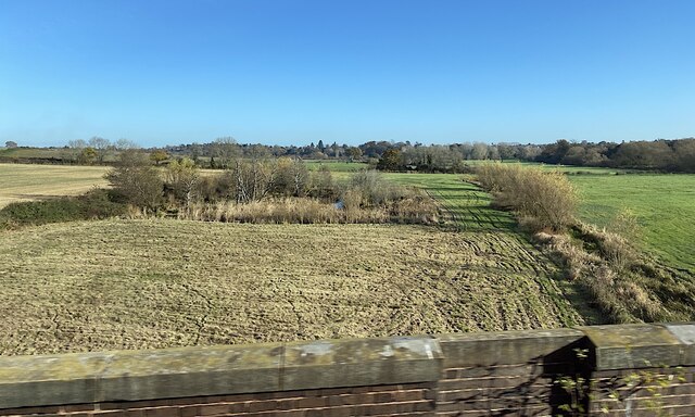
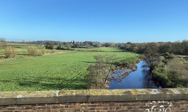
Blackdown Images
Images are sourced within 2km of 52.312496/-1.5391006 or Grid Reference SP3168. Thanks to Geograph Open Source API. All images are credited.
Blackdown is located at Grid Ref: SP3168 (Lat: 52.312496, Lng: -1.5391006)
Administrative County: Warwickshire
District: Warwick
Police Authority: Warwickshire
What 3 Words
///sorters.steps.insist. Near Leek Wootton, Warwickshire
Nearby Locations
Related Wikis
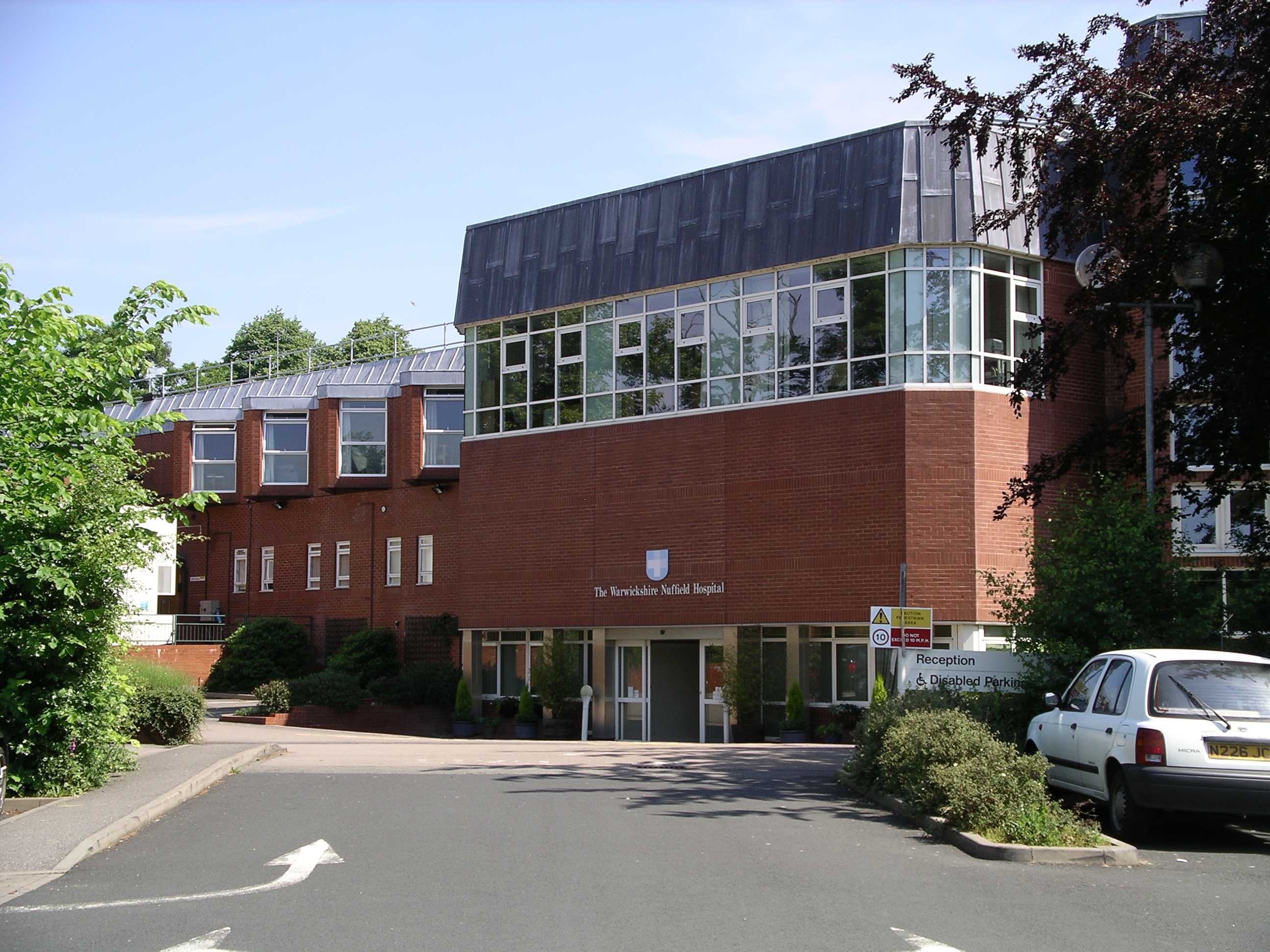
Warwickshire Nuffield Hospital
Warwickshire Nuffield Hospital is a not-for-profit private hospital situated in the north of Leamington Spa, Warwickshire, England. == History == The hospital...

Blackdown, Warwickshire
Blackdown is a hamlet and civil parish in the Warwick district of Warwickshire, England. Blackdown is about two miles north of Leamington Spa, between...
North Leamington School
North Leamington School (NLS) is a mixed, non-selective, comprehensive school for students aged 11 to 18 years located at the northeastern edge of Leamington...
Ashow
Ashow is a small village and civil parish in the Warwick district of Warwickshire, England, about 2.5 miles (4 km) south-east of central Kenilworth. According...

Leamington Cricket Club Ground
Leamington Cricket Club Ground is a cricket ground in Leamington Spa, Warwickshire. == History == The first recorded match on the ground was in 1900, when...
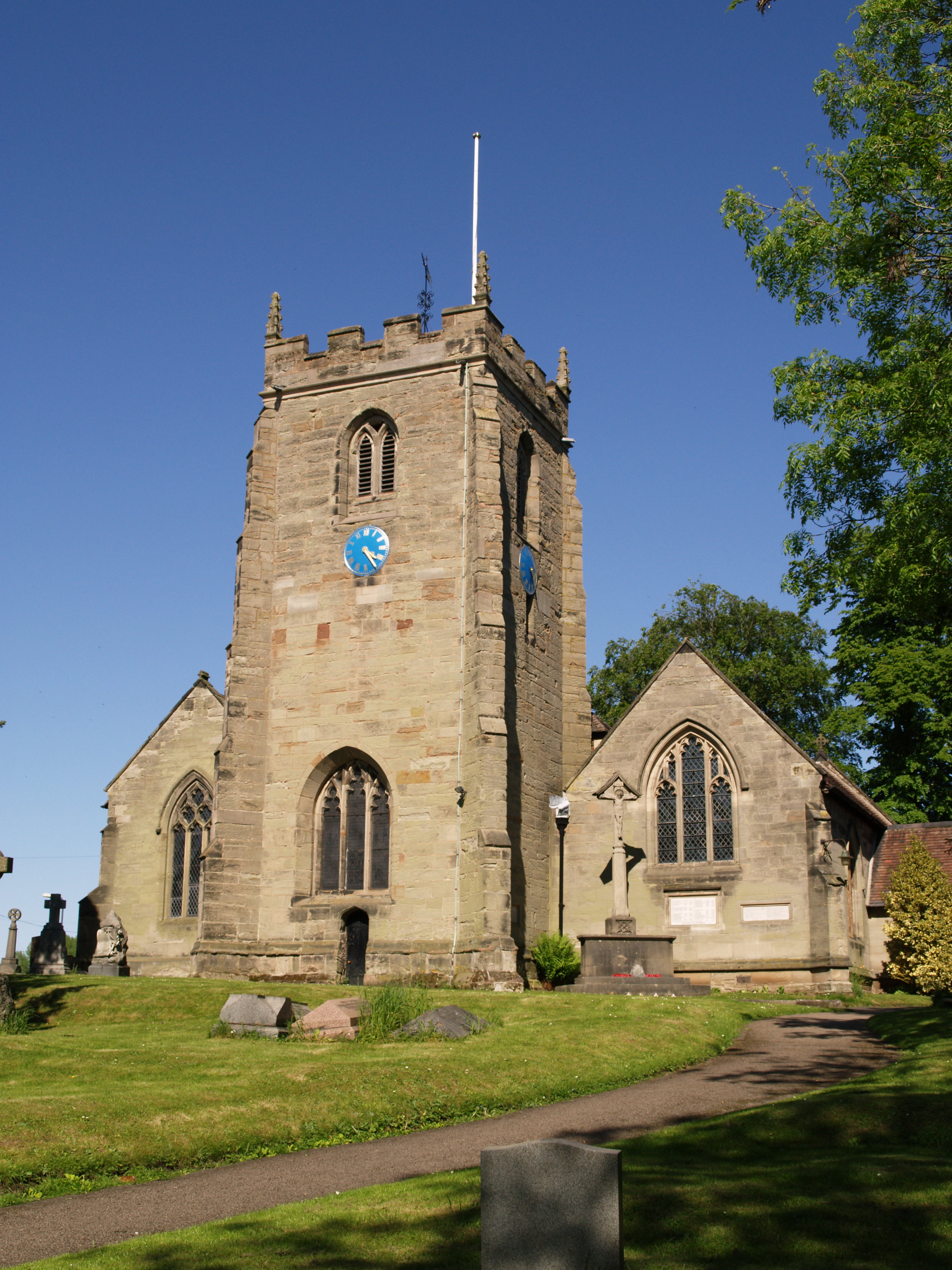
St Mary Magdalene's Church, Lillington
St Mary Magdalene's Church, Lillington is the Church of England parish church of Lillington, Warwickshire, a part of Royal Leamington Spa with a population...
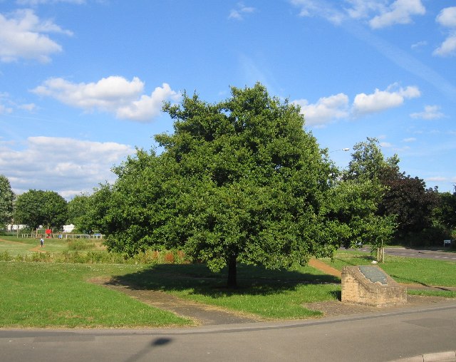
Midland Oak
The Midland Oak is an oak tree that grows in Leamington Spa, Warwickshire, near the Lillington boundary, at the junction of Lillington Road and Lillington...

Lillington Free Church
Lillington Free Church is a free church, located in Lillington, Leamington Spa, England. As of February 2019 the current Minister is Rev James Church who...
Nearby Amenities
Located within 500m of 52.312496,-1.5391006Have you been to Blackdown?
Leave your review of Blackdown below (or comments, questions and feedback).