Embleton Moor
Downs, Moorland in Northumberland
England
Embleton Moor
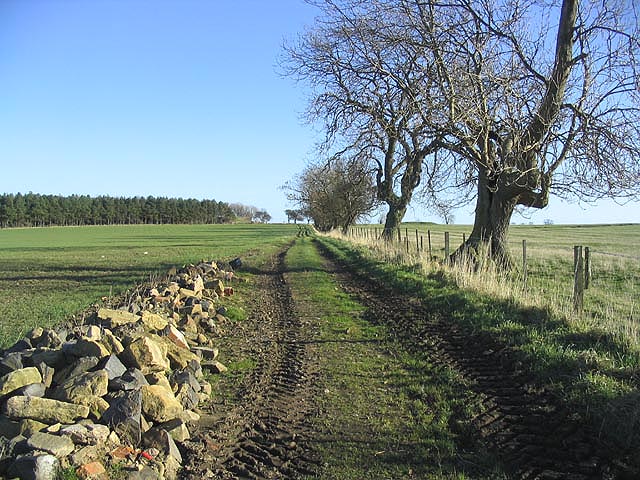
Embleton Moor is a vast expanse of downs and moorland located in the county of Northumberland, England. It covers an area of approximately 2,000 acres and is situated just a few miles inland from the picturesque coastal village of Embleton.
Characterized by its rolling hills, open grasslands, and heather-clad moorland, Embleton Moor offers a unique and captivating landscape for visitors to explore. The area is rich in flora and fauna, with an abundance of wildflowers, including orchids and bluebells, adding vibrant splashes of color to the scenery during the summer months.
The moorland is home to a diverse range of wildlife, making it a popular spot for nature enthusiasts and birdwatchers. Visitors may catch glimpses of various species, such as red grouse, curlews, lapwings, and skylarks, as they soar through the skies or scuttle across the ground.
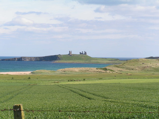
Embleton Moor also boasts a rich historical heritage. The remnants of ancient settlements, including Bronze Age burial mounds, can be found scattered across the moor, offering a glimpse into the area's past. Additionally, the nearby ruins of Dunstanburgh Castle stand as a testament to the area's medieval history, adding a touch of dramatic allure to the landscape.
Whether one seeks to immerse themselves in the tranquility of nature, explore the area's history, or simply enjoy a leisurely walk, Embleton Moor provides an idyllic setting for all. Its untouched beauty and diverse range of attractions make it a must-visit destination for those venturing to Northumberland.
If you have any feedback on the listing, please let us know in the comments section below.
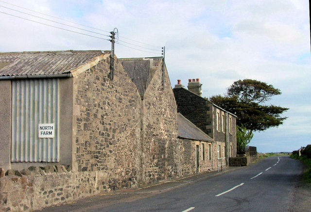
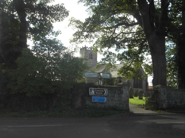
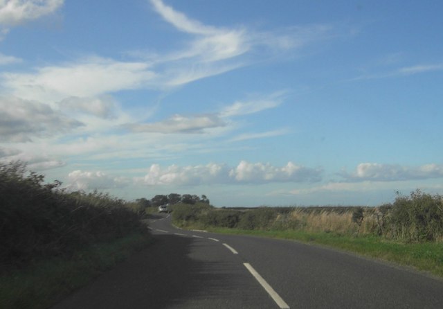
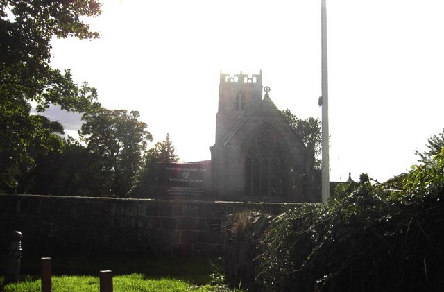
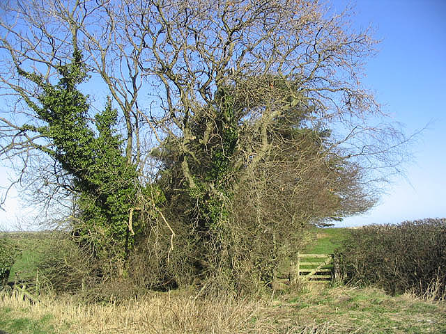
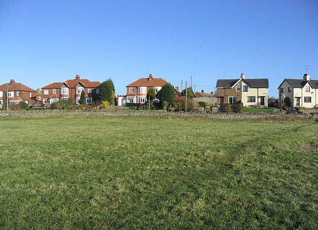
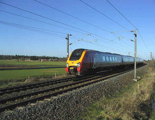
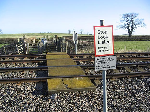
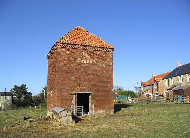
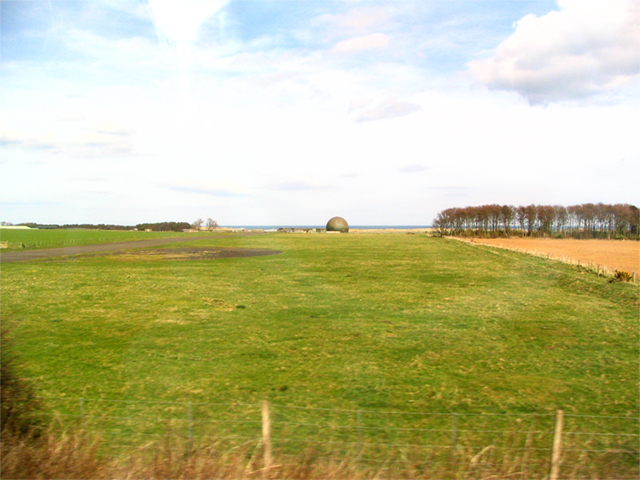
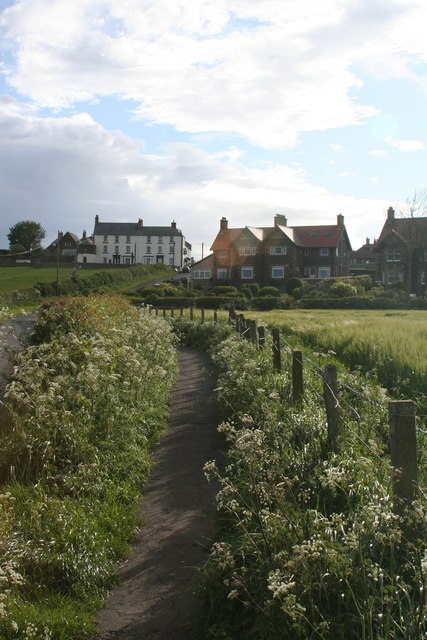
Embleton Moor Images
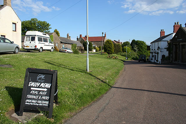
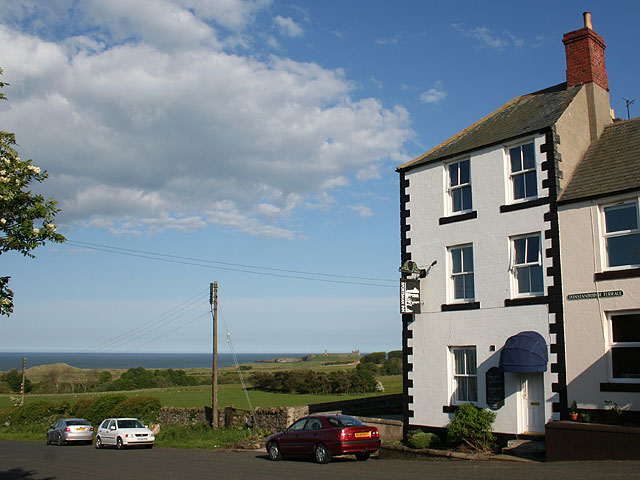
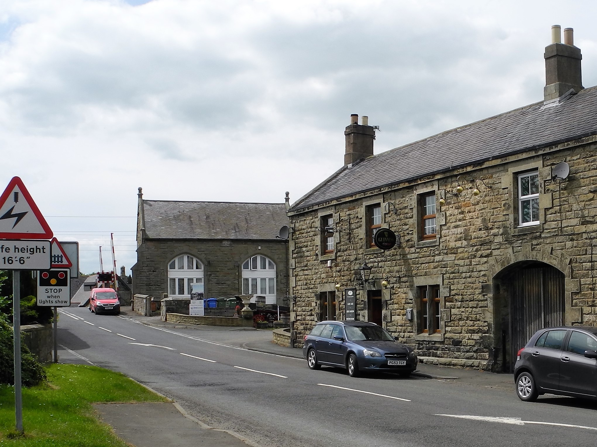
Images are sourced within 2km of 55.507648/-1.6554514 or Grid Reference NU2123. Thanks to Geograph Open Source API. All images are credited.
Embleton Moor is located at Grid Ref: NU2123 (Lat: 55.507648, Lng: -1.6554514)
Unitary Authority: Northumberland
Police Authority: Northumbria
What 3 Words
///smoker.waistcoat.tooth. Near Embleton, Northumberland
Nearby Locations
Related Wikis
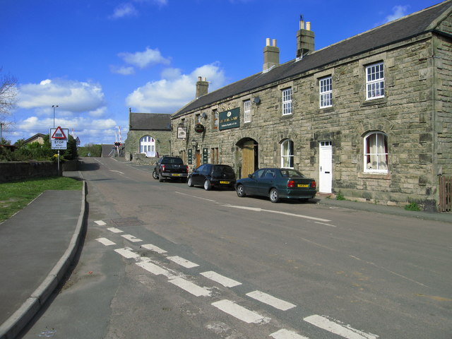
Christon Bank
Christon Bank is a small village in Northumberland, England, 9 miles north of the town of Alnwick. Prior to 1847 it was a small farming hamlet, which was...

Christon Bank railway station
Christon Bank railway station served the village of Christon Bank, Northumberland, England from 1847 to 1965 on the East Coast Main Line. == History... ==

Fallodon railway station
Fallodon railway station was a private railway station built for Sir George Grey at Fallodon Hall, Northumberland, England from 1847 to 1934 on the East...

Fallodon
Fallodon is a hamlet and former civil parish, now in the parish of Newton-by-the-Sea, in the county of Northumberland, England. It is the territorial designation...
Nearby Amenities
Located within 500m of 55.507648,-1.6554514Have you been to Embleton Moor?
Leave your review of Embleton Moor below (or comments, questions and feedback).