Hemlingford Green
Downs, Moorland in Warwickshire North Warwickshire
England
Hemlingford Green
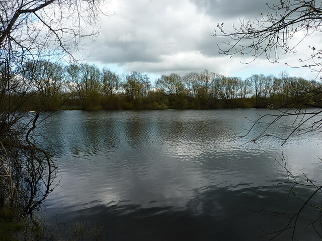
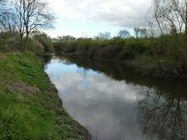
Hemlingford Green is a picturesque rural area located in Warwickshire, England. Nestled between downs and moorland, this region features stunning natural beauty that attracts both locals and visitors alike.
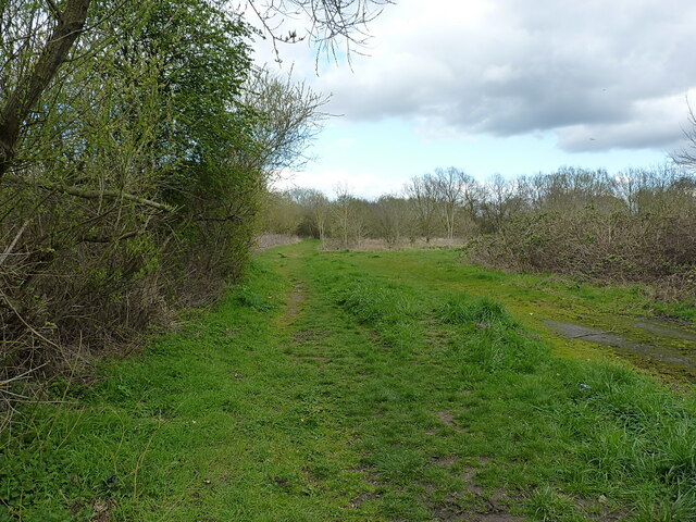
The downs of Hemlingford Green are characterized by rolling hills covered in lush green grass and dotted with a variety of wildflowers. The undulating landscape offers breathtaking views of the surrounding countryside, making it a popular spot for nature enthusiasts and hikers. The downs are also home to a diverse range of wildlife, including birds, rabbits, and occasionally deer.
On the other hand, the moorland in Hemlingford Green provides a stark contrast to the downs. Here, visitors will find expansive stretches of open land, covered in heather and gorse, creating a unique and rugged landscape. The moorland is a haven for birdwatchers, as it attracts various species of birds, including peregrine falcons and curlews. Additionally, the area is rich in archaeological sites, with ancient burial mounds and stone circles scattered throughout the moorland.
Despite its rural charm, Hemlingford Green is conveniently located near the town of Warwick, providing easy access to amenities and attractions. Visitors can explore the historic Warwick Castle, which dates back to the 11th century, or wander through the charming streets of the town center, lined with traditional shops and cafes.
Overall, Hemlingford Green offers a tranquil escape from the hustle and bustle of city life, with its stunning downs and moorland providing a haven for nature lovers and history enthusiasts alike.
If you have any feedback on the listing, please let us know in the comments section below.
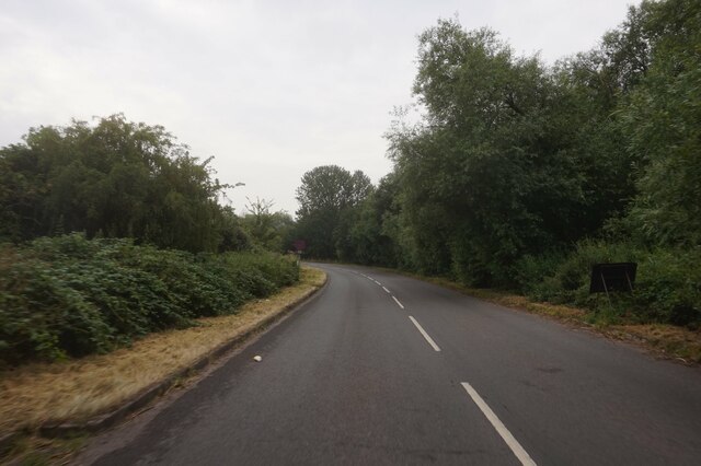
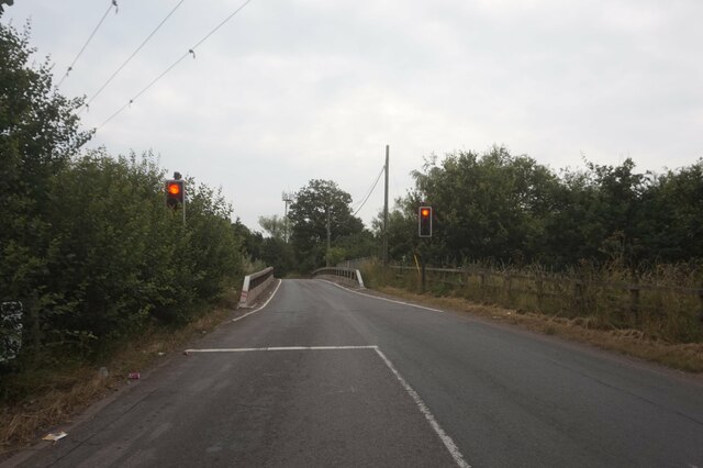
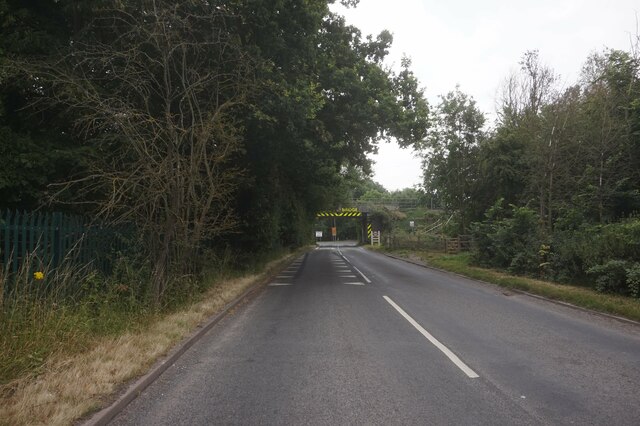
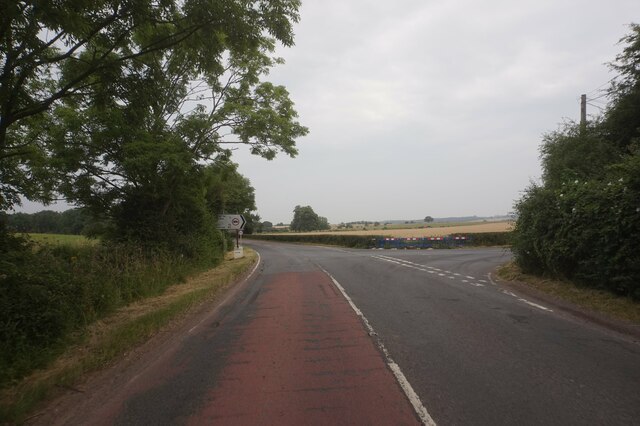
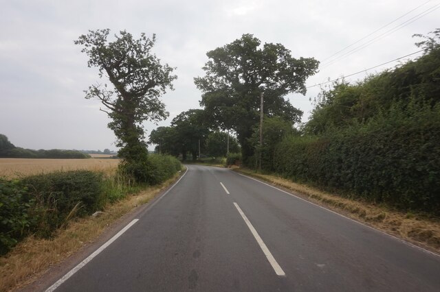
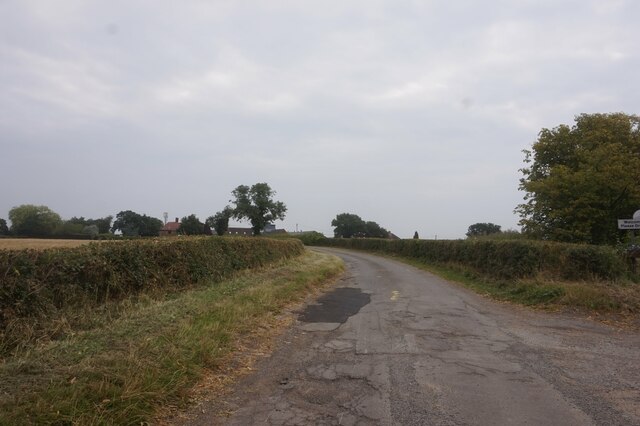
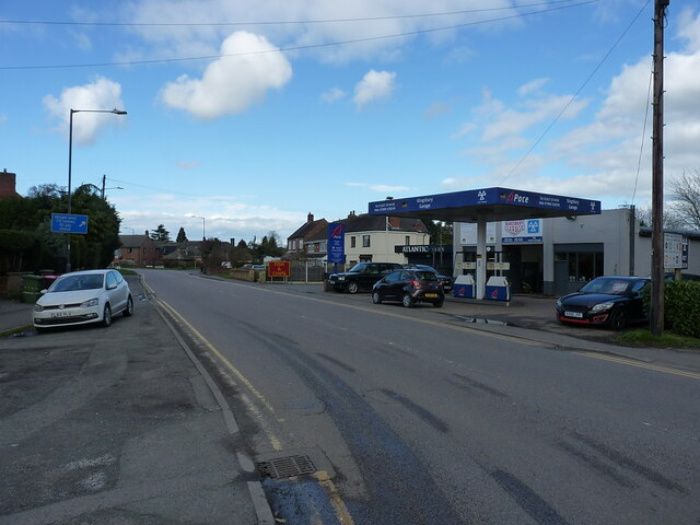
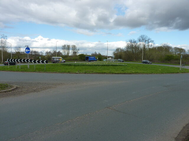
Hemlingford Green Images
Images are sourced within 2km of 52.557982/-1.678756 or Grid Reference SP2195. Thanks to Geograph Open Source API. All images are credited.


Hemlingford Green is located at Grid Ref: SP2195 (Lat: 52.557982, Lng: -1.678756)
Administrative County: Warwickshire
District: North Warwickshire
Police Authority: Warwickshire
What 3 Words
///lively.bashed.claw. Near Kingsbury, Warwickshire
Nearby Locations
Related Wikis

Kingsbury railway station
Kingsbury railway station was a railway station which served the village of Kingsbury in Warwickshire, England. == History == The station was opened in...
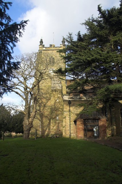
Church of St Peter & St Paul, Kingsbury
The Church of St Peter & St Paul is a Church of England parish church in the village of Kingsbury, Warwickshire, England. It is the only Church of England...
Kingsbury, Warwickshire
Kingsbury is a large village and civil parish in the North Warwickshire district of the county of Warwickshire, in the West Midlands region of England...
Kingsbury School, Warwickshire
Kingsbury School is a coeducational secondary school located in the village of Kingsbury, Warwickshire, England. Its main catchment area is Kingsbury,...
Echills Wood Railway
The Echills Wood Railway is a 7+1⁄4 in (184 mm) miniature hobbyist railway in Kingsbury Water Park, Warwickshire, England. A feature of the railway is...
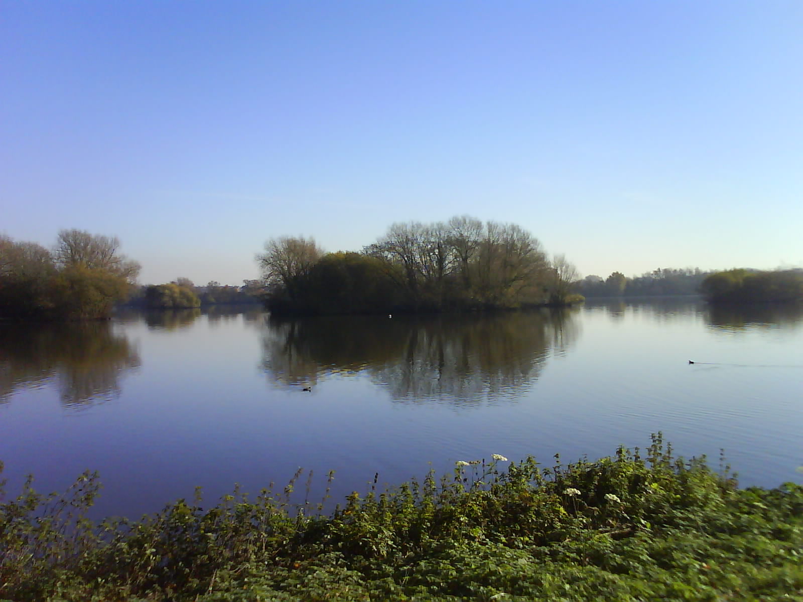
Kingsbury Water Park
Kingsbury Water Park is a country park in north Warwickshire, England, not far from Birmingham and lying on the River Tame. It is owned and managed by...
Kingsbury Colliery
Kingsbury Colliery was a coal mine in Kingsbury, Warwickshire, which operated between 1897 and 1968. == History == It was opened in 1897 and changed the...

Kingsbury Oil Terminal
Kingsbury Oil Terminal is an oil storage depot located to the northeast of the village of Kingsbury, Warwickshire, England. It was opened in the late...
Nearby Amenities
Located within 500m of 52.557982,-1.678756Have you been to Hemlingford Green?
Leave your review of Hemlingford Green below (or comments, questions and feedback).