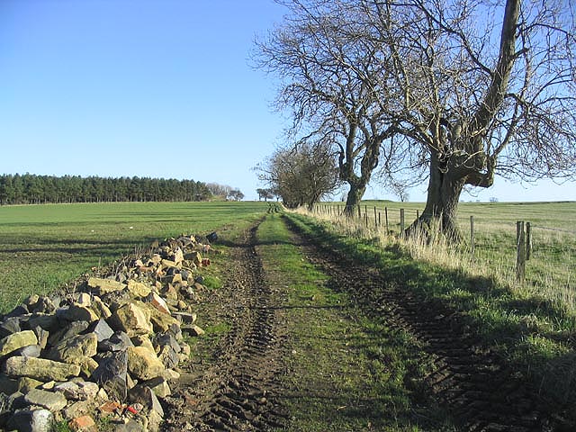
Priest's Moor
Downs, Moorland in Northumberland
England
Priest's Moor
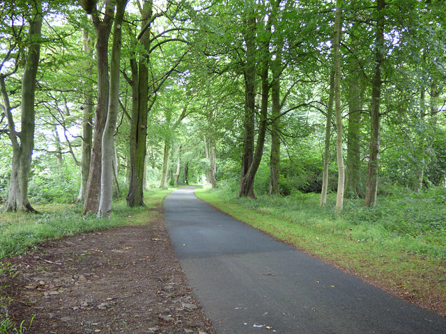
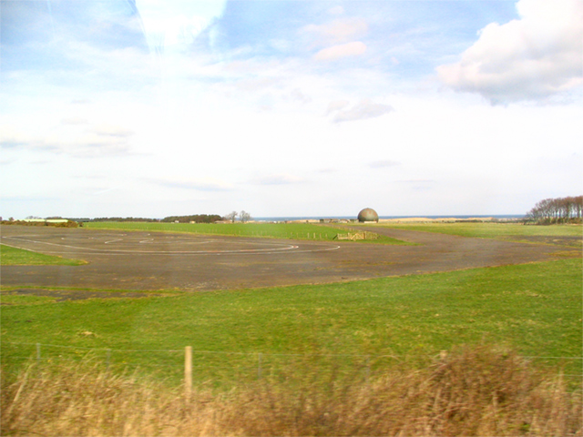
Priest's Moor is a vast expanse of natural beauty nestled in the heart of Northumberland, England. Stretching across an area of approximately 5,000 acres, this enchanting landscape is a combination of downs and moorland, making it a unique and diverse ecosystem.
The moorland section of Priest's Moor is characterized by its rolling hills, scattered with heather, bracken, and grasses. This creates a stunningly picturesque scene, especially when the heather is in full bloom during the late summer months, painting the landscape in vibrant shades of purple and pink. The moorland is also home to a variety of wildlife, including red grouse, curlews, and skylarks, which can be spotted darting through the heather or soaring high above in the open sky.
In contrast, the downs section of Priest's Moor offers a more open and expansive landscape. Here, visitors can enjoy breathtaking panoramic views of the surrounding countryside, with the Cheviot Hills visible in the distance. The downs are covered in a patchwork of grasses, wildflowers, and low-lying shrubs, creating a tranquil and serene atmosphere.
Priest's Moor is a haven for outdoor enthusiasts, offering numerous walking trails and paths for visitors to explore. Whether it's a leisurely stroll or a more rigorous hike, adventurers will find plenty to discover in this natural wonder. The moorland and downs also provide opportunities for birdwatching, photography, and simply immersing oneself in the peacefulness of the surroundings.
Overall, Priest's Moor is a hidden gem in Northumberland, showcasing the beauty and diversity of the English countryside. Its mixture of downs and moorland, combined with its abundance of wildlife and stunning vistas, make it a must-visit destination for nature lovers and outdoor enthusiasts alike.
If you have any feedback on the listing, please let us know in the comments section below.
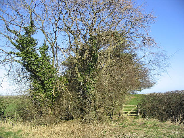
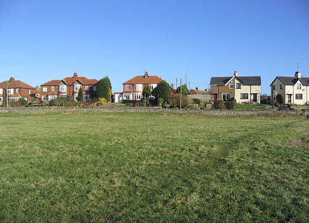
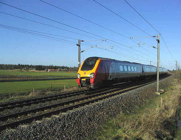
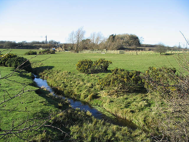
Priest's Moor Images
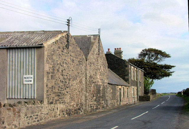
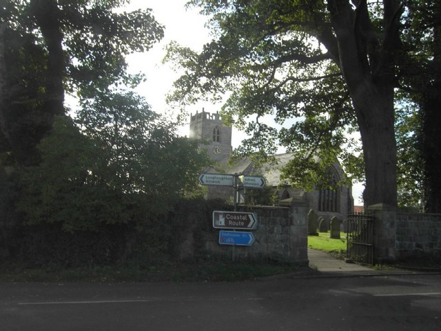
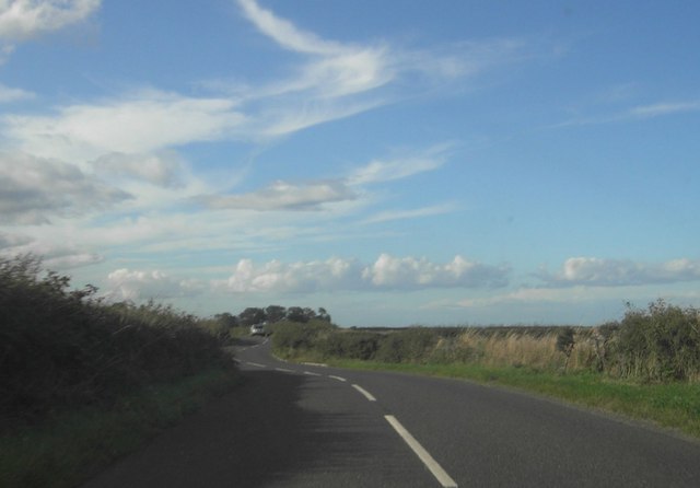
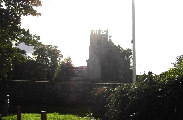
Images are sourced within 2km of 55.505427/-1.6614553 or Grid Reference NU2123. Thanks to Geograph Open Source API. All images are credited.
Priest's Moor is located at Grid Ref: NU2123 (Lat: 55.505427, Lng: -1.6614553)
Unitary Authority: Northumberland
Police Authority: Northumbria
What 3 Words
///tumblers.trappings.anyway. Near Embleton, Northumberland
Nearby Locations
Related Wikis
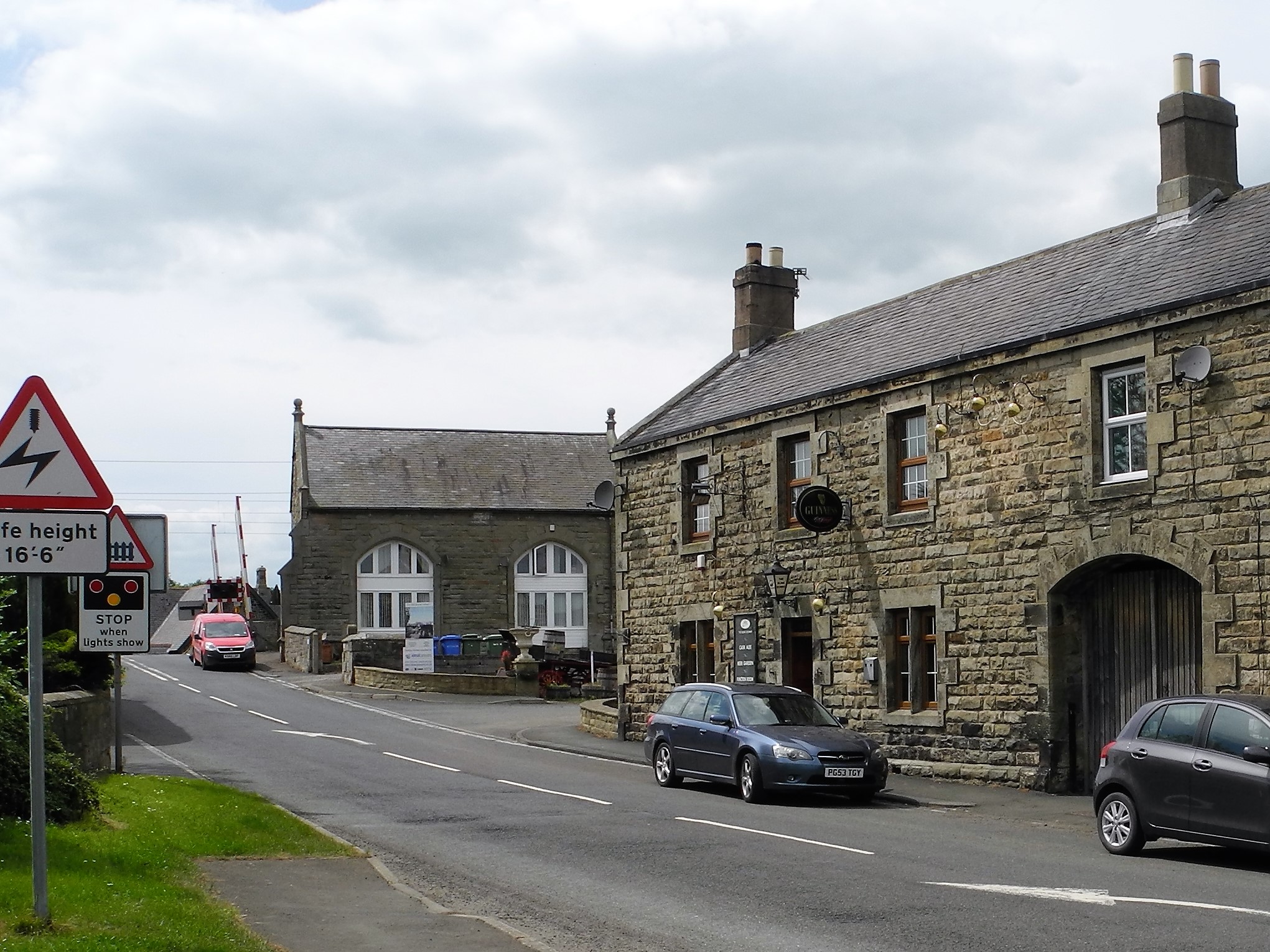
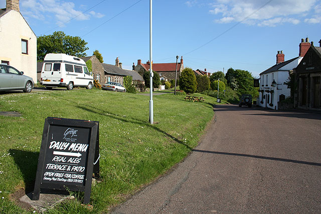
Christon Bank
Christon Bank is a small village in Northumberland, England, 9 miles north of the town of Alnwick. Prior to 1847 it was a small farming hamlet, which was...

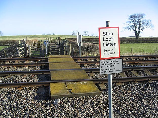
Christon Bank railway station
Christon Bank railway station served the village of Christon Bank, Northumberland, England from 1847 to 1965 on the East Coast Main Line. == History... ==

Fallodon railway station
Fallodon railway station was a private railway station built for Sir George Grey at Fallodon Hall, Northumberland, England from 1847 to 1934 on the East...

Fallodon
Fallodon is a hamlet and former civil parish, now in the parish of Newton-by-the-Sea, in the county of Northumberland, England. It is the territorial designation...
Nearby Amenities
Located within 500m of 55.505427,-1.6614553Have you been to Priest's Moor?
Leave your review of Priest's Moor below (or comments, questions and feedback).