Denby Common

Downs, Moorland in Yorkshire

England

Denby Common

View from Snailsden Moor View from Snailsden Moor towards Emley Moor TV mast.
View from Snailsden Moor Credit: Dave Pickersgill

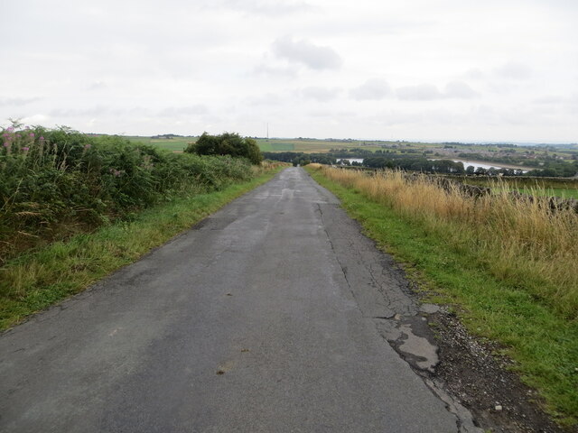
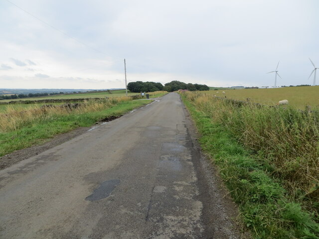
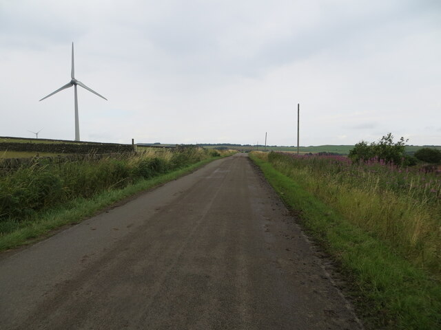
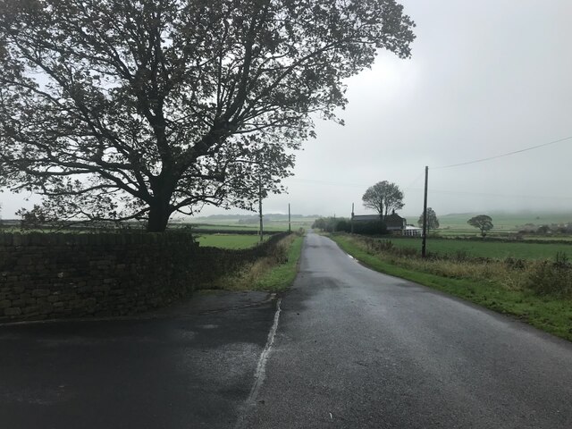
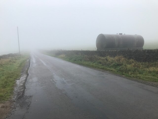
Denby Common is a picturesque area located in the county of Yorkshire, England. Nestled in the heart of the region, Denby Common is characterized by its diverse landscape of downs and moorland. The area stretches over a vast expanse, offering visitors breathtaking views and a tranquil atmosphere.

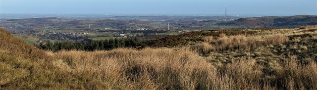
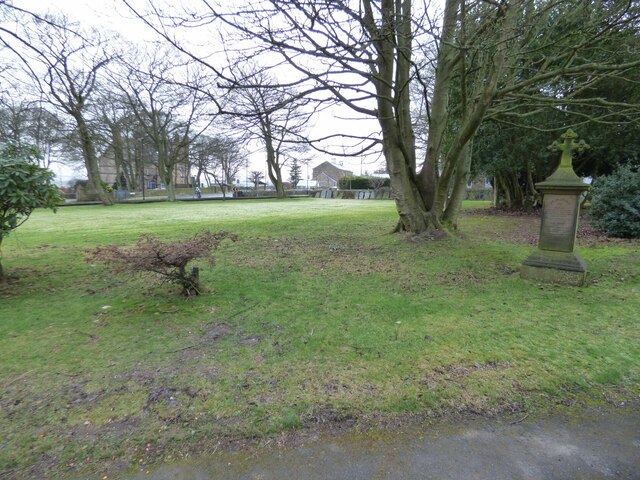
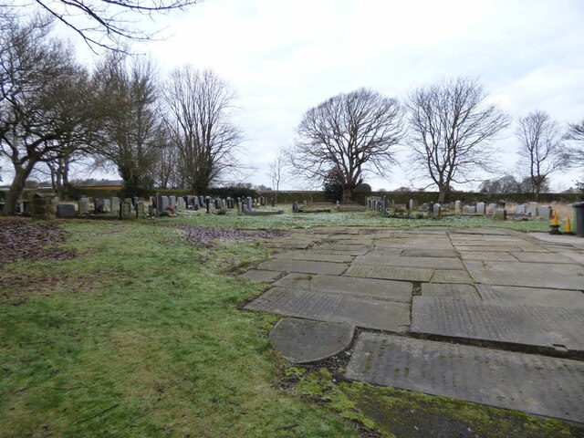
The downs of Denby Common are sprawling grassy hills, gently undulating across the landscape. These lush expanses are home to an array of flora and fauna, including a variety of wildflowers and native grasses. The downs provide a perfect setting for leisurely walks, picnics, and enjoying the peaceful surroundings.

In contrast, the moorland in Denby Common presents a more rugged and dramatic scenery. Here, visitors can explore vast expanses of heather-covered terrain, interspersed with rocky outcrops and meandering streams. The moorland is a haven for wildlife, attracting a wide range of bird species, including grouse and curlew.

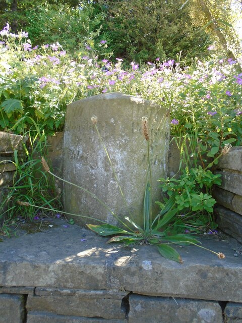
Denby Common is also steeped in history, with evidence of human settlement dating back thousands of years. Archaeological sites, such as ancient burial mounds and stone circles, can be found scattered throughout the area, providing a glimpse into the region's rich past.

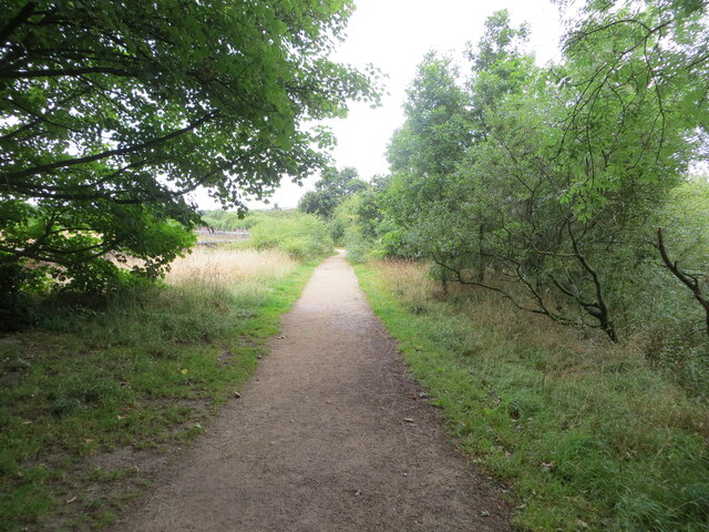
For outdoor enthusiasts, Denby Common offers a plethora of recreational activities. The downs and moorland provide ample opportunities for hiking, cycling, and horse riding. Additionally, the area is a popular destination for birdwatching and nature photography.

Overall, Denby Common is a captivating destination that showcases the natural beauty and cultural heritage of Yorkshire. Whether seeking tranquility, outdoor adventures, or a deeper connection with the past, visitors to Denby Common will find themselves immersed in its unique charm.

If you have any feedback on the listing, please let us know in the comments section below.
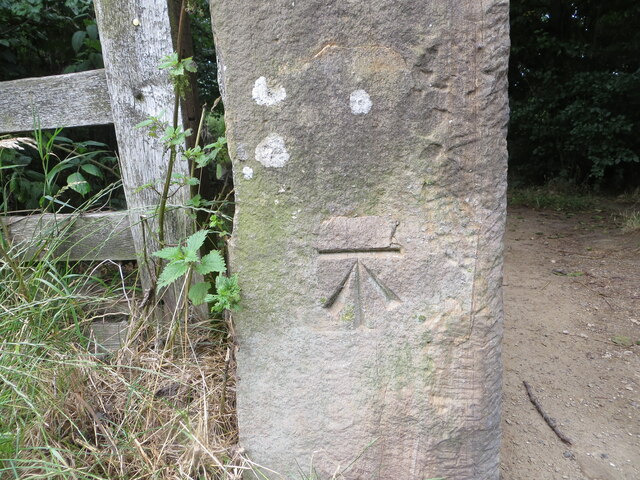
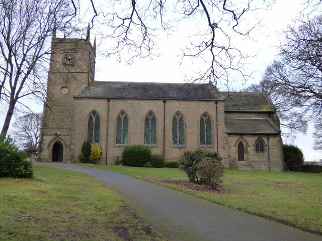
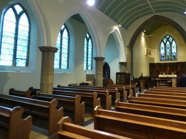
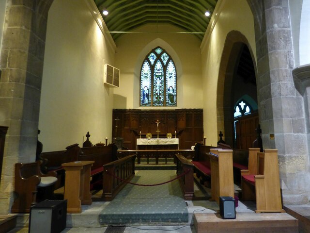
Denby Common Images

Images are sourced within 2km of 53.556012/-1.6835395 or Grid Reference SE2106. Thanks to Geograph Open Source API. All images are credited.

View from Snailsden Moor View from Snailsden Moor towards Emley Moor TV mast.
View from Snailsden Moor
View from Snailsden Moor towards Emley Moor TV mast.
Post Box at Upper Denby HD8 236. Royal Mail list this box as 'Upper Denby'.
Post Box at Upper Denby
HD8 236. Royal Mail list this box as 'Upper Denby'.
Old milestone This milestone is set into the garden wall of Salt Pie Cottage on the A629 between High Flatts and Birds Edge.  The owners rebuilt the wall to show more of the milestone and on a very sunny day it is surrounded by flowers, possibly of the mallow family.   It is 9 miles to Huddersfield and 3¼ to Penistone on the old tollroad.  Grade II listed 1135304.
Old milestone
This milestone is set into the garden wall of Salt Pie Cottage on the A629 between High Flatts and Birds Edge. The owners rebuilt the wall to show more of the milestone and on a very sunny day it is surrounded by flowers, possibly of the mallow family. It is 9 miles to Huddersfield and 3¼ to Penistone on the old tollroad. Grade II listed 1135304.
Permissive footpath at Ingbirchworth Reservoir Looking north-westward.
Permissive footpath at Ingbirchworth Reservoir
Looking north-westward.
Annat Royd Lane, Ingbirchworth Moor Looking north-eastward, Ingbirchworth Reservoir can be seen in the far distance.
Annat Royd Lane, Ingbirchworth Moor
Looking north-eastward, Ingbirchworth Reservoir can be seen in the far distance.
Spicer House Lane near Annat Royd Farm Looking south-eastward.
Spicer House Lane near Annat Royd Farm
Looking south-eastward.
Spicer House Lane beside a Wind Turbine on Spicer Hill Looking north-westward.
Spicer House Lane beside a Wind Turbine on Spicer Hill
Looking north-westward.
St John the Evangelist Church, Upper Denby A handsome building.
St John the Evangelist Church, Upper Denby
A handsome building.
Ordnance Survey Cut Mark This mark can be found on a gatepost at the footpath entrance to Ingbirchworth Reservoir.
The recorded details give a height of 255.8613 metres above sea level.
For more detail see : <span class="nowrap"><a title="https://www.bench-marks.org.uk/bm52601" rel="nofollow ugc noopener" href="https://www.bench-marks.org.uk/bm52601">Link</a><img style="margin-left:2px;" alt="External link" title="External link - shift click to open in new window" src="https://s1.geograph.org.uk/img/external.png" width="10" height="10"/></span>
Ordnance Survey Cut Mark
This mark can be found on a gatepost at the footpath entrance to Ingbirchworth Reservoir. The recorded details give a height of 255.8613 metres above sea level. For more detail see : LinkExternal link
St John the Evangelist, Denby - south side The church was built in 1842-3, typically for its time with galleries but no chancel. Equally typical of its time was the removal of the galleries and addition of a chancel and porch in 1900. Grade II listed (list entry 1313363).
St John the Evangelist, Denby - south side
The church was built in 1842-3, typically for its time with galleries but no chancel. Equally typical of its time was the removal of the galleries and addition of a chancel and porch in 1900. Grade II listed (list entry 1313363).
St John the Evangelist, Denby - nave The church was built in 1842-3, typically for its time with galleries but no chancel. Equally typical of its time was the removal of the galleries and addition of a chancel and porch in 1900. Grade II listed (list entry 1313363).
St John the Evangelist, Denby - nave
The church was built in 1842-3, typically for its time with galleries but no chancel. Equally typical of its time was the removal of the galleries and addition of a chancel and porch in 1900. Grade II listed (list entry 1313363).
St John the Evangelist, Denby - chancel The church was built in 1842-3, but this narrow chancel was only added in 1900. Grade II listed (list entry 1313363).
St John the Evangelist, Denby - chancel
The church was built in 1842-3, but this narrow chancel was only added in 1900. Grade II listed (list entry 1313363).
St John the Evangelist, Denby - war memorial The war memorial takes the form of wooden panelling between the tower and nave, bearing the names of twenty-four men who died in the First World War, and two in the Second. Beneath the names is written 'While they sleep, Lord Jesus, look on them. When they rise, receive them'.
St John the Evangelist, Denby - war memorial
The war memorial takes the form of wooden panelling between the tower and nave, bearing the names of twenty-four men who died in the First World War, and two in the Second. Beneath the names is written 'While they sleep, Lord Jesus, look on them. When they rise, receive them'.
St John the Evangelist, Denby - font A slender stone font with wooden cover.
St John the Evangelist, Denby - font
A slender stone font with wooden cover.
St John the Evangelist, Denby - front churchyard Nearly all the gravestones have been removed from the area to the front of the church, unlike the rear where they are all still in place.
St John the Evangelist, Denby - front churchyard
Nearly all the gravestones have been removed from the area to the front of the church, unlike the rear where they are all still in place.
St John the Evangelist, Denby - rear churchyard Immediately west of the church building, old gravestones have been laid flat as ledgers. Beyond that, nearly all the gravestones are still in place. The churchyard is now full, with few if any burials having taken place since 1975.
St John the Evangelist, Denby - rear churchyard
Immediately west of the church building, old gravestones have been laid flat as ledgers. Beyond that, nearly all the gravestones are still in place. The churchyard is now full, with few if any burials having taken place since 1975.
Spicer House Lane Looking toward Brown's Edge Farm from the entrance to what is now called Spicer Manor.
Spicer House Lane
Looking toward Brown's Edge Farm from the entrance to what is now called Spicer Manor.
Spicer House Lane On a very damp and gloomy October morning
Spicer House Lane
On a very damp and gloomy October morning
Show me another place!

Denby Common is located at Grid Ref: SE2106 (Lat: 53.556012, Lng: -1.6835395)

Division: West Riding

Unitary Authority: Kirklees

Police Authority: West Yorkshire

What 3 Words

///teaches.shepherdess.takers. Near Denby Dale, West Yorkshire

Related Wikis

Ingbirchworth

Ingbirchworth is a village and former civil parish, now in the parish of Gunthwaite and Ingbirchworth, in the Barnsley district, in the county of South...

Birdsedge

Birdsedge (or Birds Edge) is a small village in the borough of Kirklees in West Yorkshire, England, on the edge of Yorkshire's Pennine Hills, standing...

Gunthwaite and Ingbirchworth

Gunthwaite and Ingbirchworth is a civil parish in the Barnsley district, in the county of South Yorkshire, England. It contains the hamlet of Gunthwaite...

Upper Denby

Upper Denby is a small village within the civil parish of Denby Dale, and the borough of Kirklees in West Yorkshire, England. Lying 11 miles (17 km) to...

Nearby Amenities

Located within 500m of 53.556012,-1.6835395
Penistone Road Denby Lane
Naptan AtcoCode: 450015852
Naptan Bearing: SE
Naptan BusStopType: CUS
Naptan CommonName: Penistone Road Denby Lane
Naptan Crossing: Denby Lane
Naptan Landmark: Unknown
Naptan ShortCommonName: Green Lane End
Naptan Street: Penistone Road
Naptan Verified: no
Source: naptan_import
Lat/Long: 53.5598447/-1.679932
Bus Stop
Penistone Road Green Lane
Bench: no
Bin: no
Bus: yes
Lit: yes
Local Ref: 45025241
Naptan AtcoCode: 450025241
Naptan Bearing: NW
Naptan CommonName: Penistone Road Green Lane
Naptan Crossing: Green Lane
Naptan Indicator: Stop 45025241
Naptan Landmark: Green Lane Farm
Naptan ShortCommonName: Green Lane
Naptan Street: Penistone Road
Naptan Verified: no
Public Transport: platform
Shelter: no
Source: naptan_import
Tactile Paving: no
Lat/Long: 53.5597465/-1.6801743
Power: pole
Lat/Long: 53.5536592/-1.6858542
Power: pole
Lat/Long: 53.5536735/-1.6825899
Power: pole
Lat/Long: 53.5536636/-1.6848005
Power: pole
Lat/Long: 53.5536462/-1.6877707
Power: pole
Lat/Long: 53.5536911/-1.6787758
Power: pole
Lat/Long: 53.5536831/-1.680015
Power: pole
Lat/Long: 53.553699/-1.6773381
Denby Common
Place: locality
Lat/Long: 53.558627/-1.6810037
Power: pole
Lat/Long: 53.5536473/-1.6897107
Bench
Backrest: yes
Lat/Long: 53.5521314/-1.6827829
Waste Basket
Check Date: 2023-12-26
Lat/Long: 53.5521649/-1.682705
Street Lamp
Lat/Long: 53.559296/-1.6814191
Parking
Access: yes
Fee: no
Parking: layby
Surface: concrete
Lat/Long: 53.5591132/-1.6789435
Waste Basket
Material: metaldisused:
Lat/Long: 53.5592157/-1.679031
Barrier: stile
Material: stone
Step Count: 2
Stile: stepover
Lat/Long: 53.5566846/-1.691006
Give Way
Direction: backward
Lit: yes
Lat/Long: 53.5597542/-1.6796119
Power: pole
Lat/Long: 53.5570814/-1.6907522
Generator Method: wind_turbine
Generator Source: wind
Power: generator
Lat/Long: 53.5584431/-1.6814289
Barrier: stile
Material: stone
Step Count: 2
Stile: stepover
Lat/Long: 53.5579421/-1.6859972
Waste Basket
Material: metaldisused:
Lat/Long: 53.559028/-1.6787787
The data included in this document is from www.openstreetmap.org. The data is made available under ODbL.

Have you been to Denby Common?

Leave your review of Denby Common below (or comments, questions and feedback).