Bradley Moor

Downs, Moorland in Derbyshire Derbyshire Dales

England

Bradley Moor

A517 near Yew Tree Lane, Bradley
A517 near Yew Tree Lane, Bradley Credit: Colin Pyle

Bradley Moor is a picturesque area located in Derbyshire, England. It is characterized by its stunning downs and vast moorland, which cover an expansive area of approximately 10 square miles. The moorland is primarily composed of heather and grasses, creating a beautiful tapestry of colors throughout the seasons.

The landscape of Bradley Moor is defined by its rolling hills and gentle slopes, providing visitors with breathtaking panoramic views of the surrounding countryside. The area is crisscrossed by various walking trails and footpaths, making it a popular destination for hikers and nature enthusiasts.

One of the notable features of Bradley Moor is its diverse wildlife. The moorland is home to a variety of bird species, including skylarks, curlews, and lapwings. Visitors may also spot mammals such as hares, foxes, and deer, adding to the area's natural charm.

Historically, Bradley Moor has played a significant role in the local economy. It was once used for grazing livestock, particularly sheep, and remnants of old stone walls and enclosures can still be seen today. The moorland also contains several archaeological sites, including burial mounds and ancient settlements, providing a glimpse into the area's rich past.

Overall, Bradley Moor offers a tranquil and scenic escape for those seeking to immerse themselves in nature. Its rolling downs and expansive moorland, coupled with its diverse wildlife and historical significance, make it a truly captivating destination in Derbyshire.

If you have any feedback on the listing, please let us know in the comments section below.
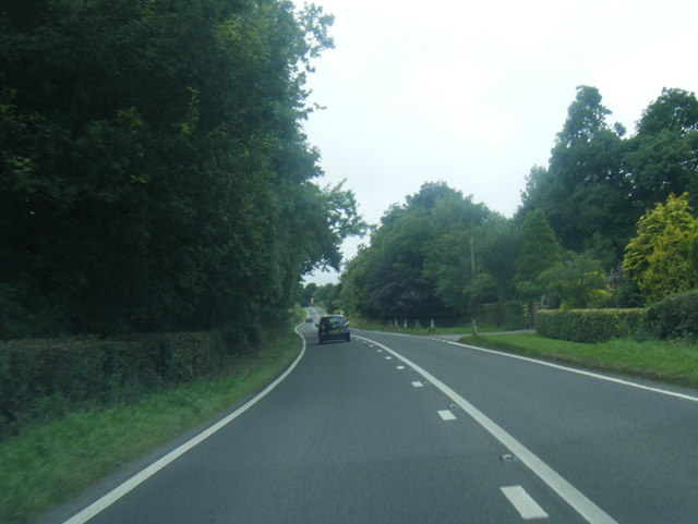
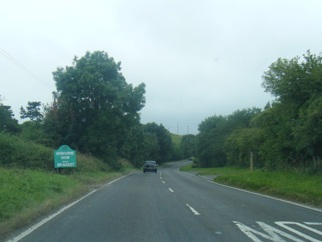
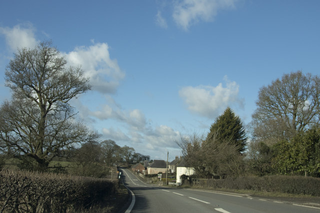
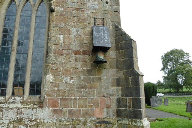
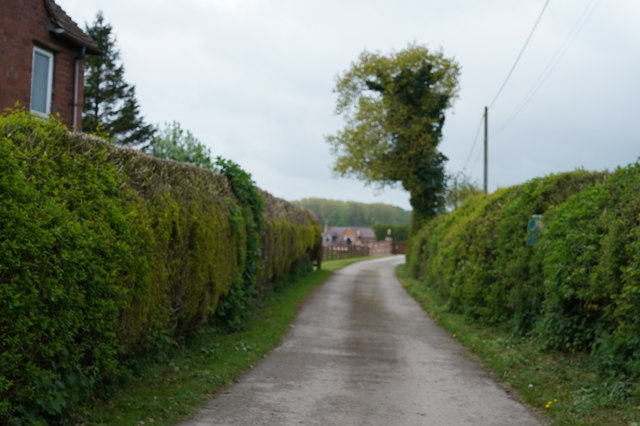
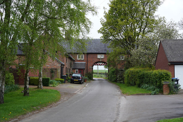
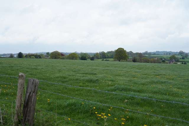
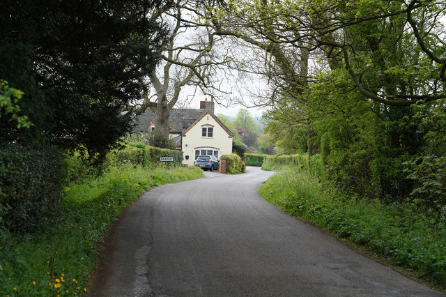
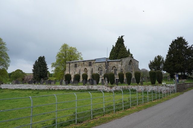
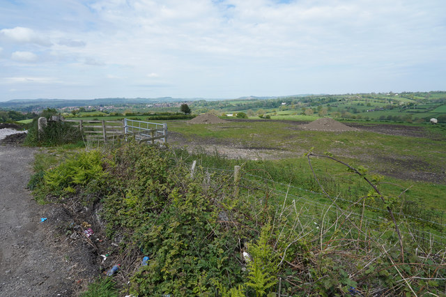
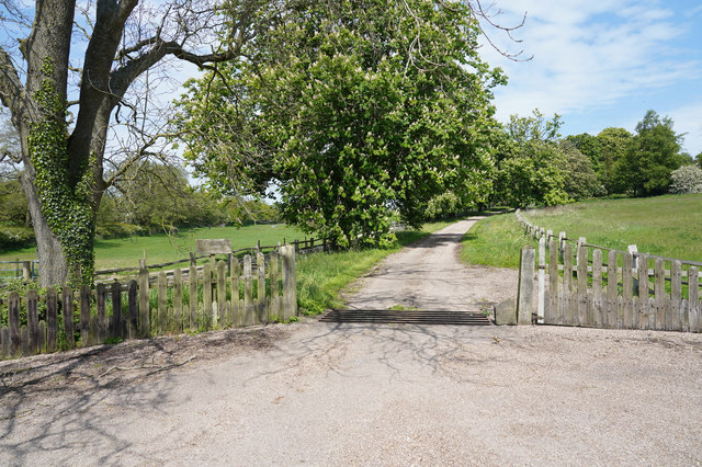
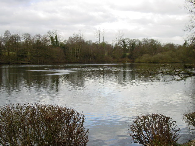
Bradley Moor Images

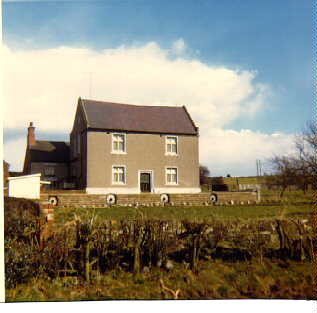
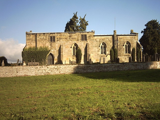
Images are sourced within 2km of 53.009064/-1.6874766 or Grid Reference SK2145. Thanks to Geograph Open Source API. All images are credited.

A517 near Yew Tree Lane, Bradley
A517 near New House Farm
The road to Ashbourne On the way to Ashbourne we pass Yeldersley Hall just behind us and the small group of houses close to Yeldersley Home Farm.
The road to Ashbourne
On the way to Ashbourne we pass Yeldersley Hall just behind us and the small group of houses close to Yeldersley Home Farm.
Bradley Church This church in Bradley doesn't have a bell tower, so a bell is attached to the rear wall, with a steel canopy over it.
Bradley Church
This church in Bradley doesn't have a bell tower, so a bell is attached to the rear wall, with a steel canopy over it.
Looking at War Farm The track is closely lined with hedges as it goes towards the farm.
Looking at War Farm
The track is closely lined with hedges as it goes towards the farm.
Hole in the Wall The minor road goes through a building at the quaintly named "Hole in the Wall". There are many warning signs about a low arch as you approach the gap.
Hole in the Wall
The minor road goes through a building at the quaintly named "Hole in the Wall". There are many warning signs about a low arch as you approach the gap.
A lush crop of grass I may be wrong but it looks as though this field is grass and will probably be used for silage.
A lush crop of grass
I may be wrong but it looks as though this field is grass and will probably be used for silage.
The road to Bradley The sign says Bradley and is obviously on the edge of the village.
The road to Bradley
The sign says Bradley and is obviously on the edge of the village.
All Saints Church Bradley In Derbyshire this church is quite unusual in that it has no spire or tower. The grounds around the church look as though they are extremely well tended, especially the clipped bushes.
All Saints Church Bradley
In Derbyshire this church is quite unusual in that it has no spire or tower. The grounds around the church look as though they are extremely well tended, especially the clipped bushes.
Corley Lane The lane has the same name as the farm which was near where I took the photo.
Corley Lane
The lane has the same name as the farm which was near where I took the photo.
Piles of spoil in the field There are a couple of piles of spoil in the field at the top of this hill. They do give the area a somewhat unkempt look.
Piles of spoil in the field
There are a couple of piles of spoil in the field at the top of this hill. They do give the area a somewhat unkempt look.
The track to Lady Hole Lady Hole appears to be a house isolated from the nearby Lady Hole Farm.
The track to Lady Hole
Lady Hole appears to be a house isolated from the nearby Lady Hole Farm.
Lake by Knoll Lodge This private lake lies on the southern edge of Bradley village and can be viewed from the path which runs along the eastern and southern sides of it.
Lake by Knoll Lodge
This private lake lies on the southern edge of Bradley village and can be viewed from the path which runs along the eastern and southern sides of it.
Rural crossroads Crossroads of Dogkennel Lane and Yeldersley Lane, SW of Bradley.
Rural crossroads
Crossroads of Dogkennel Lane and Yeldersley Lane, SW of Bradley.
Bradley Pastures This is the main A517 from Belper to Ashbourne.  The lane on the left leads to the village of Bradley.
Bradley Pastures
This is the main A517 from Belper to Ashbourne. The lane on the left leads to the village of Bradley.
Bradley Smithy On the A517 from Belper to Ashbourne is Bradley Smithy.  There is no longer any sign of the smithy but there are lots of white lines all over the road at this accident blackspot.
Bradley Smithy
On the A517 from Belper to Ashbourne is Bradley Smithy. There is no longer any sign of the smithy but there are lots of white lines all over the road at this accident blackspot.
Hole-in-the-Wall Aptly named since the road does indeed pass through the hole in the wall.
Hole-in-the-Wall
Aptly named since the road does indeed pass through the hole in the wall.
War Farm Now a fine house rather than a farm.
War Farm
Now a fine house rather than a farm.
Show me another place!

Bradley Moor is located at Grid Ref: SK2145 (Lat: 53.009064, Lng: -1.6874766)

Administrative County: Derbyshire

District: Derbyshire Dales

Police Authority: Derbyshire

What 3 Words

///unsigned.trail.adults. Near Ashbourne, Derbyshire

Nearby Locations

Moorend Bradley Moor

Related Wikis

Sturston, Derbyshire

Sturston is a small area of settlement in Derbyshire, England. It is located on the A517 road, 1-mile (1.6 km) east of Ashbourne. It is in the civil parish...

RAF Ashbourne

Royal Air Force Ashbourne, or more simply RAF Ashbourne, is a former Royal Air Force station located approximately 1.5 miles (2.4 km) south-east of the...

Bradley, Derbyshire

Bradley is a village and civil parish in Derbyshire just east of Ashbourne. The population of the civil parish taken at the 2011 Census was 313. Other...

Yeldersley Hall, Derbyshire

Yeldersley Hall is a building of historical significance in Ashbourne, Derbyshire, England and is listed on the English Heritage Register. It was built...

Nearby Amenities

Located within 500m of 53.009064,-1.6874766
Bull Hill
Place: locality
Source: NLS - OS 1:25k 1st Series 1937-61
Lat/Long: 53.0119048/-1.6915746
Power: pole
Lat/Long: 53.0131229/-1.6846286
The data included in this document is from www.openstreetmap.org. The data is made available under ODbL.

Have you been to Bradley Moor?

Leave your review of Bradley Moor below (or comments, questions and feedback).