Marlborough Common
Downs, Moorland in Wiltshire
England
Marlborough Common
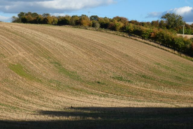
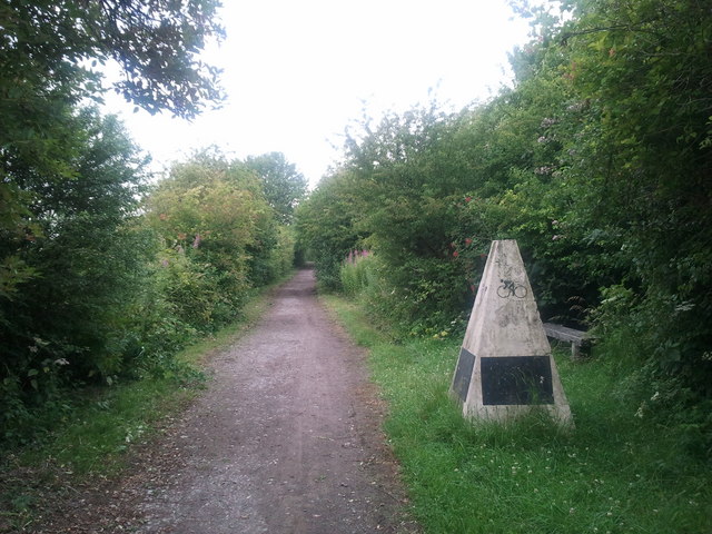
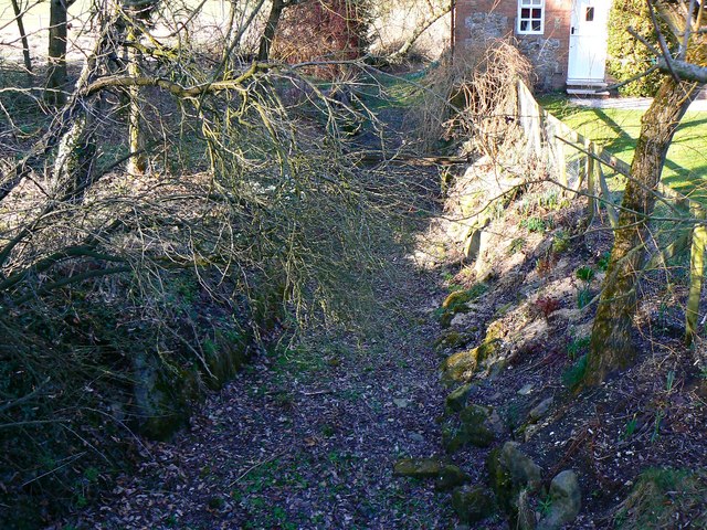
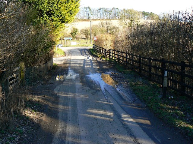
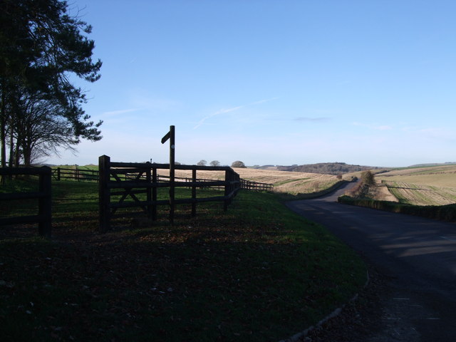
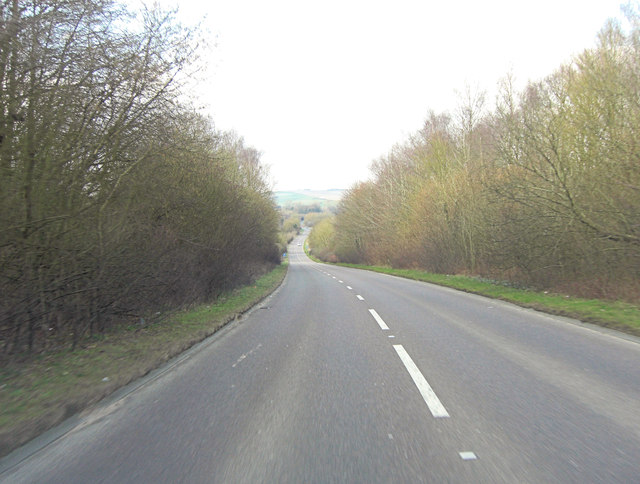
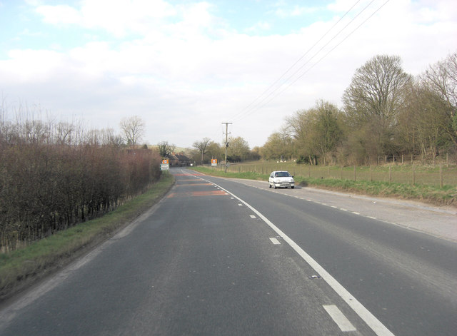
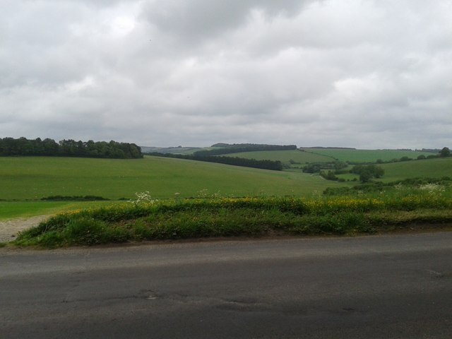
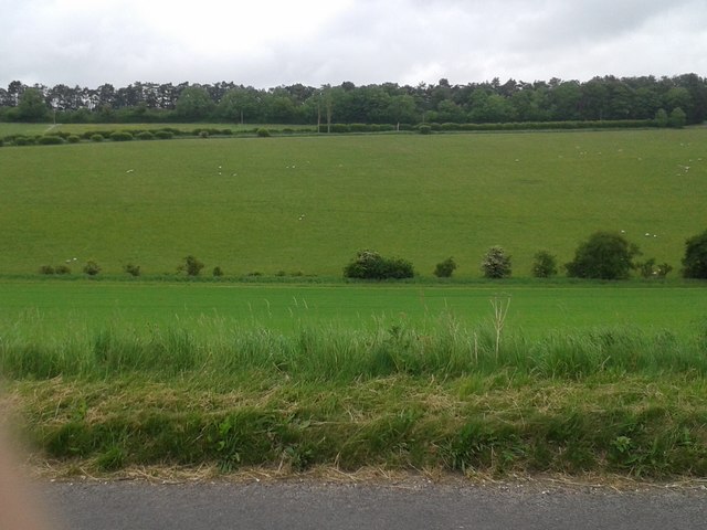
Marlborough Common is a vast expanse of open land located in the town of Marlborough, Wiltshire, England. Covering an area of approximately 17.5 hectares, the common is a remarkable blend of downs and moorland, offering a diverse and captivating natural landscape.
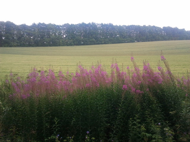
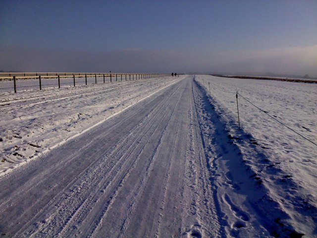
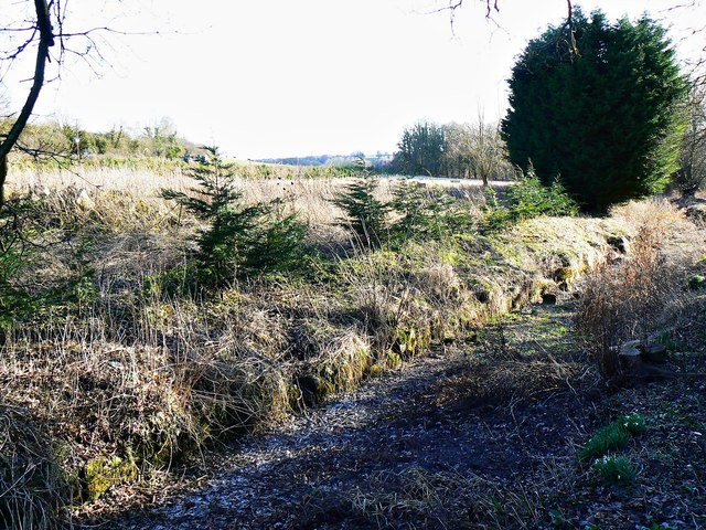
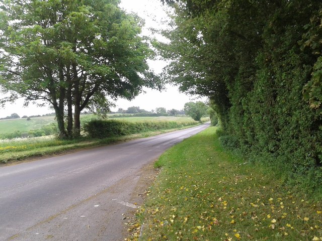
The common is characterized by rolling hills and expansive grasslands, creating a picturesque backdrop for visitors to explore and enjoy. The terrain is predominantly covered in heather and gorse, providing a rich habitat for numerous plant and animal species. This unique blend of vegetation contributes to the common's distinct charm, particularly during the summer months when the heather blooms in vibrant shades of purple.
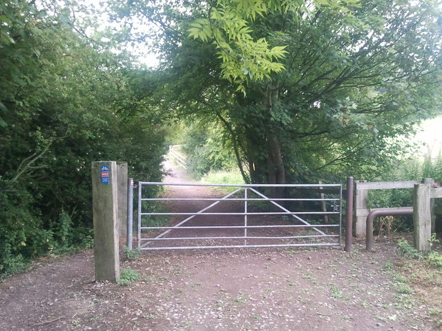
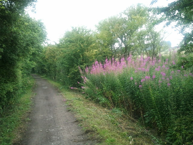
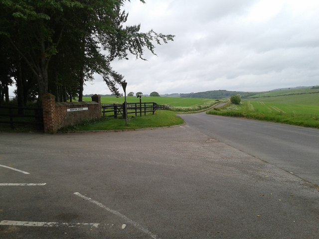
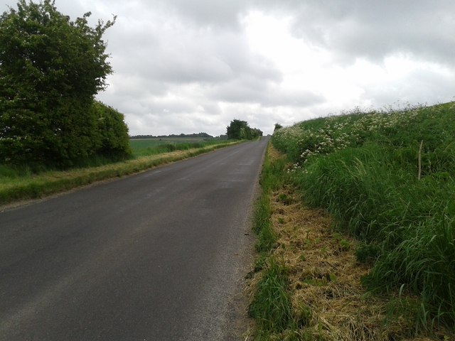
The common is intersected by several footpaths and trails, inviting hikers and walkers to venture through its idyllic scenery. These paths meander through the landscape, offering panoramic views of the surrounding countryside and the town of Marlborough itself.
In addition to its natural beauty, Marlborough Common has a rich historical significance. The area has been used for grazing livestock for centuries and still maintains its traditional agricultural purpose today. The common is also home to several ancient burial mounds, known as barrows, which provide intriguing insights into the area's prehistoric past.
Overall, Marlborough Common is a remarkable destination for nature enthusiasts, history buffs, and those seeking tranquility amidst the stunning English countryside. The harmonious blend of downs and moorland, coupled with its historical significance, make it a must-visit location in Wiltshire.
If you have any feedback on the listing, please let us know in the comments section below.
Marlborough Common Images
Images are sourced within 2km of 51.428689/-1.7352905 or Grid Reference SU1869. Thanks to Geograph Open Source API. All images are credited.
Marlborough Common is located at Grid Ref: SU1869 (Lat: 51.428689, Lng: -1.7352905)
Unitary Authority: Wiltshire
Police Authority: Wiltshire
What 3 Words
///extremely.different.helpful. Near Marlborough, Wiltshire
Nearby Locations
Related Wikis

St Mary's Church, Marlborough
St Mary's Church is the Church of England parish church in the town of Marlborough, Wiltshire, England. The church stands at the east end of the town's...
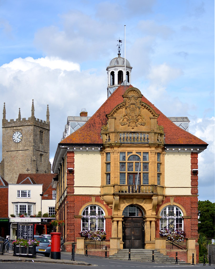
Marlborough Town Hall
Marlborough Town Hall is a municipal building in the High Street in Marlborough, Wiltshire, England. The structure, which is the meeting place of Marlborough...
Marlborough and Ramsbury Rural District
Marlborough and Ramsbury was a rural district in Wiltshire, England from 1935 to 1974. It was formed by a County Review Order in 1935 as a merger of the...
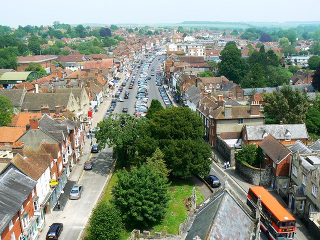
Marlborough, Wiltshire
Marlborough ( MAWL-bər-ə, MARL-) is a market town and civil parish in the English county of Wiltshire on the Old Bath Road, the old main road from London...
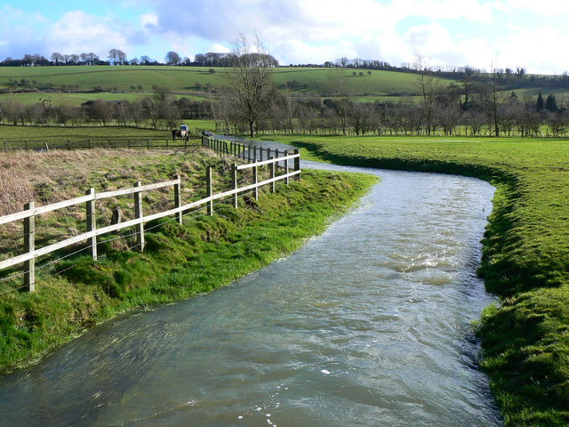
River Og
The River Og is a short river in Wiltshire, England. It rises near the hamlet of Draycot Foliat, and flows south for about 3.1 km (1.9 miles) through Ogbourne...

Marlborough Castle
Marlborough Castle, locally known and recorded in historical documents as The Mound, was an 11th-century royal castle located in the civil parish of Marlborough...

List of public art in Wiltshire
This is a list of public art in Wiltshire, in England. This list applies only to works of public art accessible in an outdoor public space. For example...

Marlborough Mound
Marlborough Mound is a Neolithic monument in the town of Marlborough in the English county of Wiltshire. Standing 19 metres (60 ft) tall, it is second...
Nearby Amenities
Located within 500m of 51.428689,-1.7352905Have you been to Marlborough Common?
Leave your review of Marlborough Common below (or comments, questions and feedback).