Ablington Down
Downs, Moorland in Wiltshire
England
Ablington Down
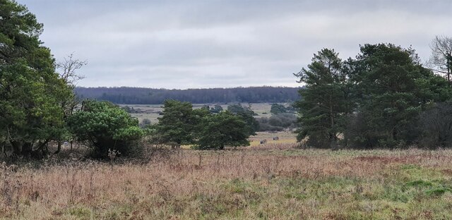
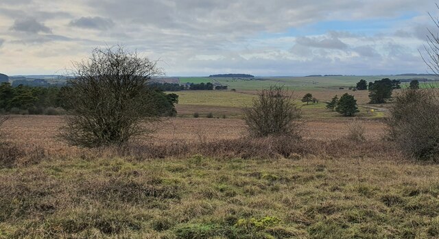
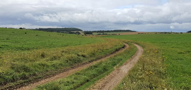
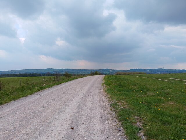
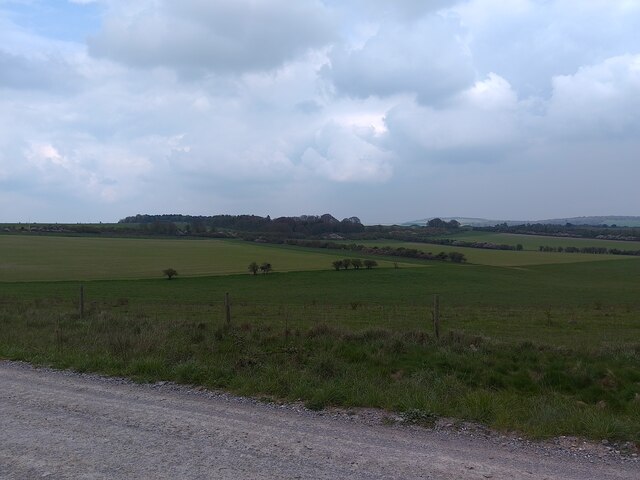
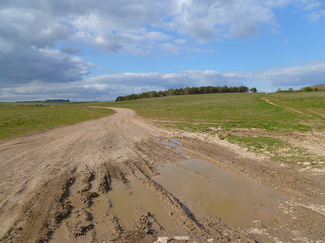
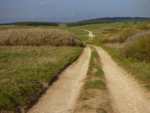
Ablington Down, located in Wiltshire, is a picturesque area of downs and moorland that spans over a vast expanse of approximately 1000 acres. Situated within the North Wessex Downs Area of Outstanding Natural Beauty, this region boasts breathtaking views and a rich variety of flora and fauna.
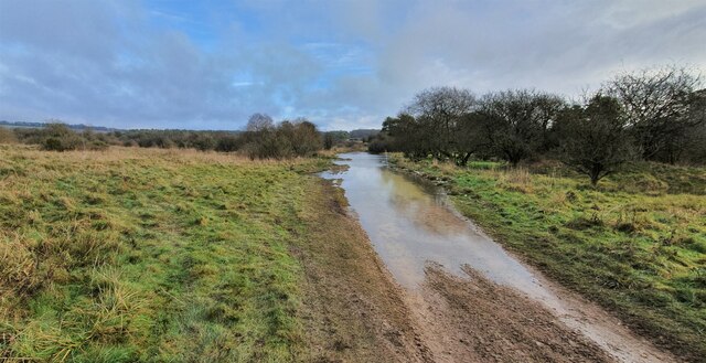
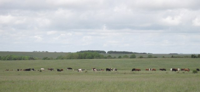
Characterized by its rolling hills, Ablington Down offers visitors a tranquil and peaceful environment. The landscape is dominated by open grassland interspersed with patches of heather and gorse, creating a vibrant tapestry of colors throughout the year. The area is also home to a diverse range of wildlife, including rare species such as skylarks, kestrels, and roe deer.
Ablington Down is a popular destination for outdoor enthusiasts and nature lovers alike. The extensive network of footpaths and bridleways allows visitors to explore the area at their own pace, providing opportunities for walking, hiking, and horseback riding. The downland is particularly renowned for its excellent birdwatching opportunities, with many enthusiasts flocking to the region to catch a glimpse of the various species that inhabit the area.
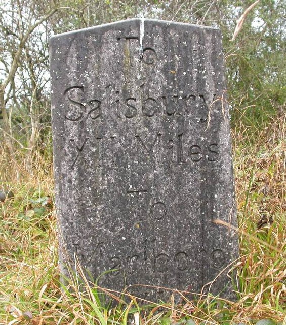
The history of Ablington Down is also of interest to many. Ancient burial mounds and remnants of Iron Age settlements can be found scattered across the landscape, providing a glimpse into the area's rich past. Moreover, the downland has a long history of farming, with traditional agricultural practices still being observed by local farmers.
Overall, Ablington Down offers a unique and idyllic setting, combining natural beauty, diverse wildlife, and a rich cultural heritage, making it a must-visit destination for those seeking a taste of the quintessential English countryside.
If you have any feedback on the listing, please let us know in the comments section below.
Ablington Down Images
Images are sourced within 2km of 51.229075/-1.7366653 or Grid Reference SU1847. Thanks to Geograph Open Source API. All images are credited.


Ablington Down is located at Grid Ref: SU1847 (Lat: 51.229075, Lng: -1.7366653)
Unitary Authority: Wiltshire
Police Authority: Wiltshire
What 3 Words
///steam.wins.pigment. Near Milston, Wiltshire
Nearby Locations
Related Wikis

Barrow Clump
Barrow Clump is an archaeological site in Figheldean parish, Wiltshire, England, about 3+1⁄2 miles (5.6 km) north of the town of Amesbury. The site is...

Netheravon Airfield
Netheravon Airfield is a Ministry of Defence grass strip airfield on Salisbury Plain, in Wiltshire, England. Established in 1913 by the Royal Flying Corps...

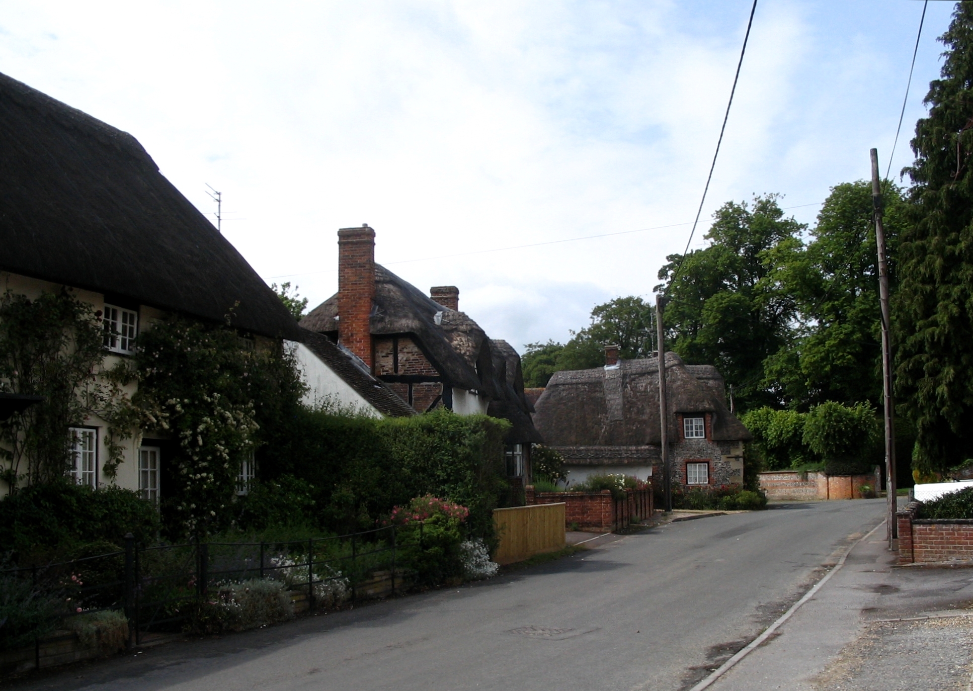
Ablington, Wiltshire
Ablington is a small village in the English county of Wiltshire, on the River Avon, close to the village of Figheldean and about 3.5 miles (5.6 km) north...
Figheldean
Figheldean is a village and civil parish on the River Avon, 3+1⁄2 miles (6 km) north of Amesbury in Wiltshire, England. Figheldean parish extends 3 miles...

Milston
Milston is a hamlet and civil parish in Wiltshire, England, about 10 miles (16 km) north of Salisbury and separated from Durrington by the River Avon....

Avon Valley Academy
Avon Valley Academy is a mixed secondary school in Durrington, Wiltshire, England. Earlier in its history it has been known as Durrington Senior School...

All Saints' Church, Netheravon
The Church of All Saints is the Church of England parish church for the village of Netheravon, Wiltshire, England. A church has stood on this site near...

Netheravon
Netheravon is a village and civil parish on the River Avon and A345 road, about 4 miles (6.4 km) north of the town of Amesbury in Wiltshire, South West...
Nearby Amenities
Located within 500m of 51.229075,-1.7366653Have you been to Ablington Down?
Leave your review of Ablington Down below (or comments, questions and feedback).