Bisterne Common
Downs, Moorland in Hampshire New Forest
England
Bisterne Common
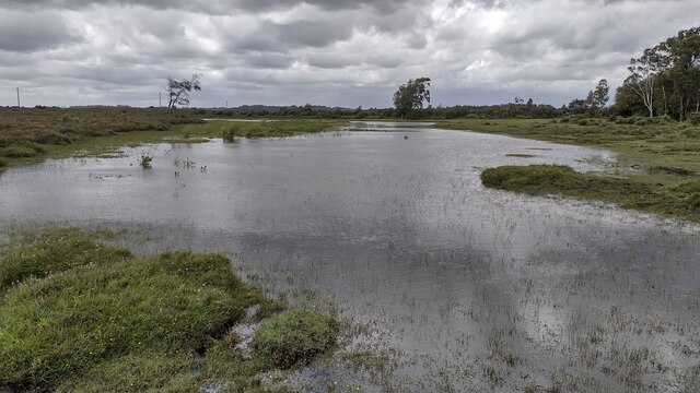
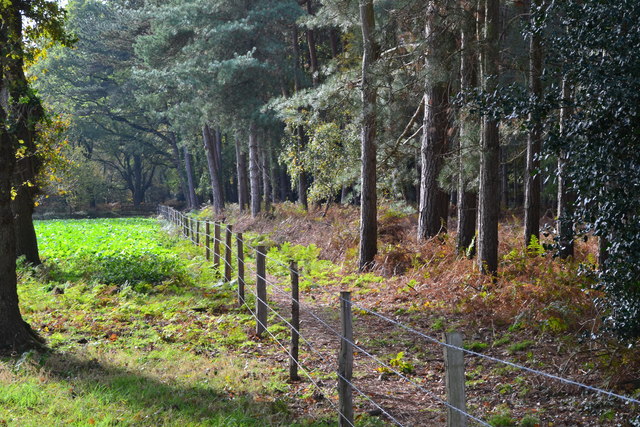
Bisterne Common is a picturesque area located in the New Forest National Park in Hampshire, England. Covering an area of approximately 68 hectares, it is known for its diverse habitats, including downs and moorland. The common is situated between the villages of Sopley and Burley, and is easily accessible for visitors.
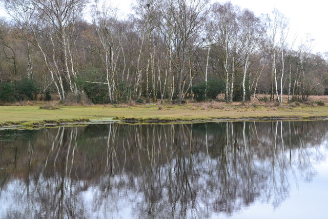
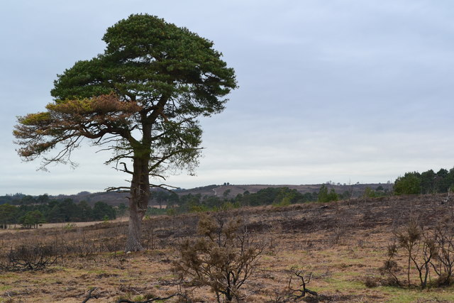
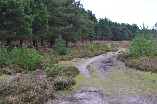
One of the defining features of Bisterne Common is its rolling hills and open grasslands. The common is dotted with gorse bushes, heather, and bracken, creating a stunning landscape that changes with the seasons. In the spring and summer, the area is alive with vibrant wildflowers, while in the autumn, the foliage turns into a beautiful array of warm colors.
The common is home to a variety of wildlife, making it a popular destination for nature enthusiasts. Visitors can spot numerous bird species, including the Dartford warbler, stonechat, and skylark. The area also provides a habitat for reptiles such as adders and common lizards. Additionally, Bisterne Common is known for its population of New Forest ponies, which freely roam the area.
For those interested in history, Bisterne Common has a rich cultural heritage. It is believed to have been used as common grazing land for centuries, and evidence of ancient human activity, such as medieval ridge and furrow patterns, can still be seen today.
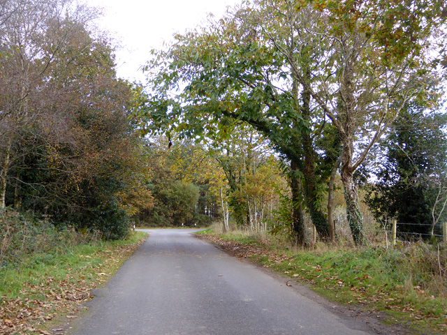
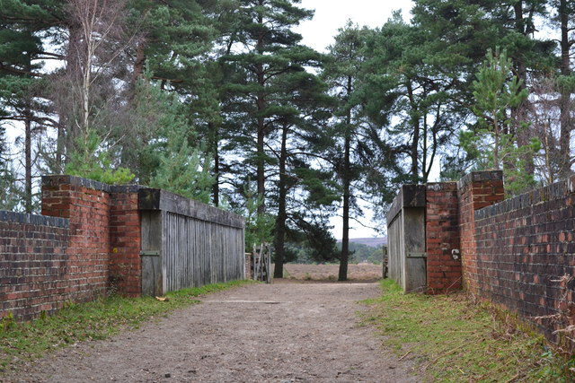
Bisterne Common offers a range of recreational activities for visitors. There are several walking trails and footpaths, allowing visitors to explore the common and enjoy the stunning views. The area is also popular for horse riding and cycling, with designated routes for these activities.
Overall, Bisterne Common provides a tranquil and scenic escape for nature lovers and outdoor enthusiasts, offering a unique blend of downland and moorland landscapes within the New Forest National Park.
If you have any feedback on the listing, please let us know in the comments section below.
Bisterne Common Images
Images are sourced within 2km of 50.80897/-1.7379248 or Grid Reference SU1801. Thanks to Geograph Open Source API. All images are credited.


Bisterne Common is located at Grid Ref: SU1801 (Lat: 50.80897, Lng: -1.7379248)
Administrative County: Hampshire
District: New Forest
Police Authority: Hampshire
What 3 Words
///salaried.resists.recorders. Near Bransgore, Hampshire
Nearby Locations
Related Wikis

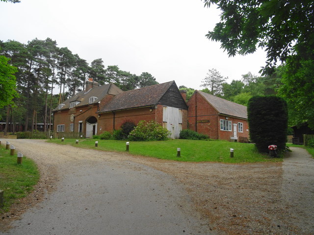
Avon Tyrrell House
Avon Tyrrell is an historic manor within the parish of Sopley, Hampshire. It is situated within the New Forest, near Christchurch. The present manor house...

All Saints' Church, Thorney Hill
All Saints' Church is a Church of England church in Thorney Hill, Hampshire, England. It was built in 1905–06 and has been a Grade I listed building since...

Bagnum
Bagnum is a hamlet in the English county of Hampshire. The settlement is within the civil parish of Ringwood (where the 2011 Census was included), and...
Sandford, Hampshire
Sandford is a small hamlet in the New Forest National Park of Hampshire, England. The nearest town to Sandford is Ringwood, which is approximately 2.6...

Castle Hill, Hampshire
Castle Hill is the site of an Iron Age univallate hillfort located in the civil parish of Burley in the New Forest national park in Hampshire, England...

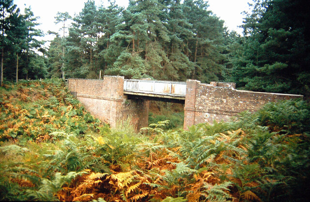
RAF Bisterne
Royal Air Force Bisterne or more simply RAF Bisterne is a former Royal Air Force Advanced Landing Ground in Hampshire, England. The airfield is located...
Bransgore
Bransgore is a village and civil parish within the New Forest District, Hampshire, England. The village developed in the 19th century when a church and...

Crow, Hampshire
Crow is a small village situated in the New Forest National Park in Hampshire, England. Its nearest town is Ringwood, which lies approximately 1 mile...
Nearby Amenities
Located within 500m of 50.80897,-1.7379248Have you been to Bisterne Common?
Leave your review of Bisterne Common below (or comments, questions and feedback).