Marlborough
Civil Parish in Wiltshire
England
Marlborough
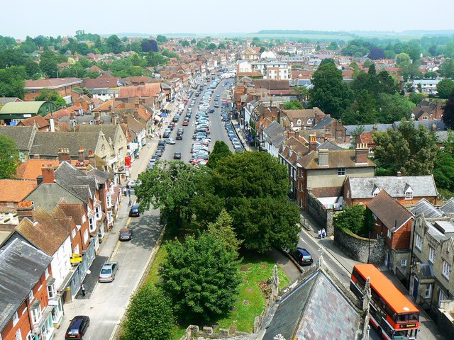
Marlborough is a civil parish and market town located in the county of Wiltshire, England. Situated on the River Kennet, it lies in the heart of the North Wessex Downs Area of Outstanding Natural Beauty. With a population of around 8,500 people, it is the second-largest town in the county.
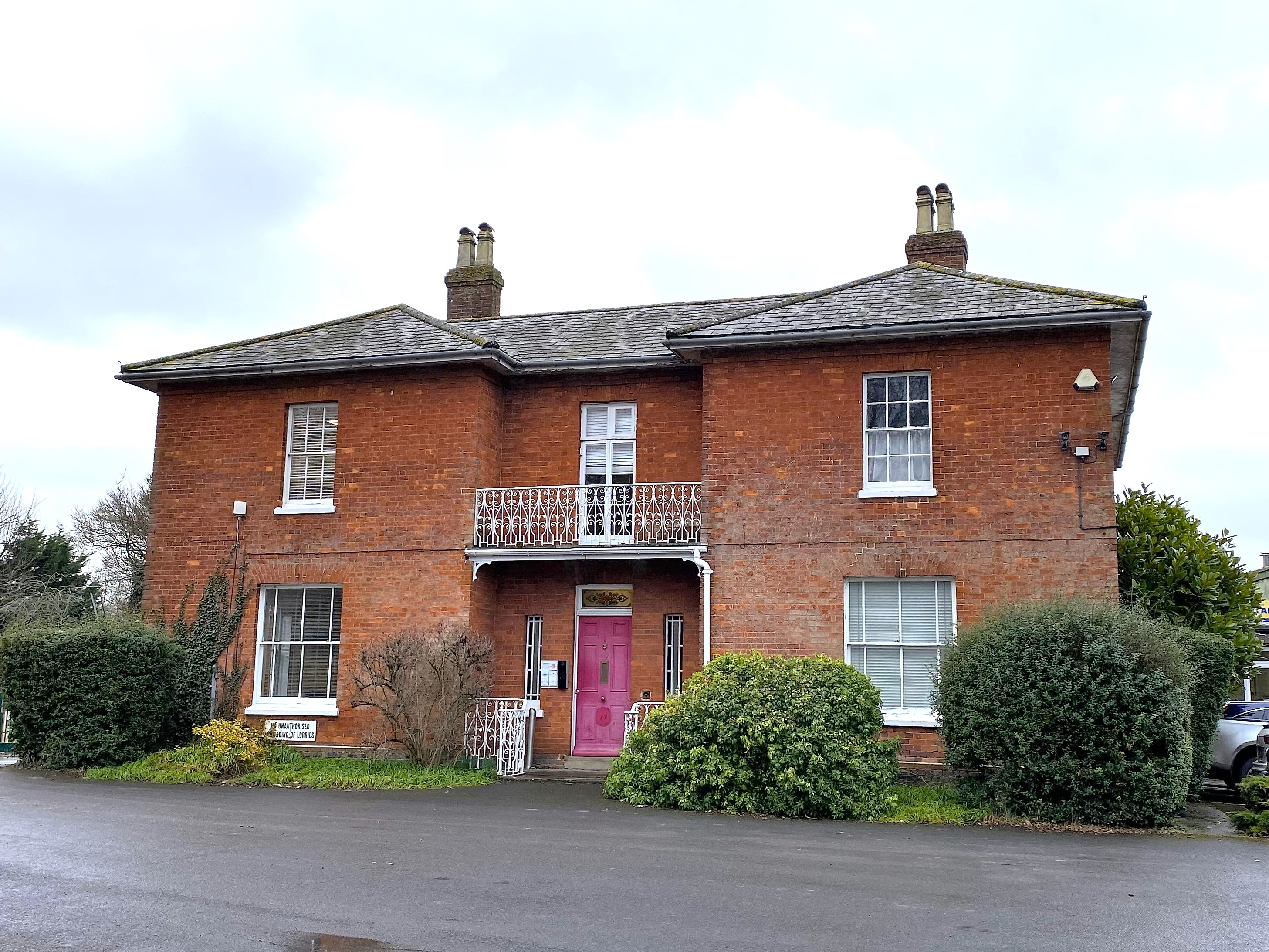
The town is known for its rich history, dating back to prehistoric times. It is home to the famous Marlborough College, a prestigious independent school established in 1843. The town's architecture reflects its heritage, with many well-preserved historic buildings, including the 15th-century St. Mary's Church and the 17th-century Merchant's House.
Marlborough is renowned for its thriving market, which has been held since the 13th century. The market takes place twice a week and offers a wide range of goods, from local produce to antiques and crafts. Additionally, the town hosts various festivals and events throughout the year, including the Marlborough Jazz Festival and the International Street Market.
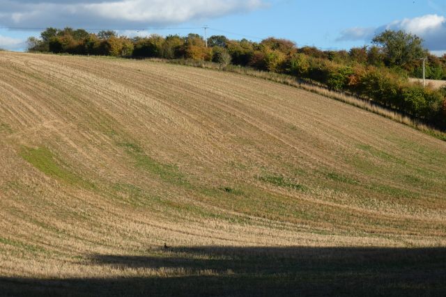
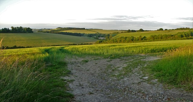
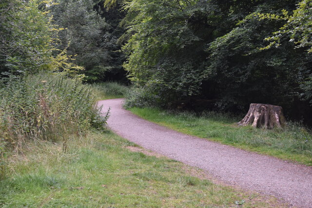
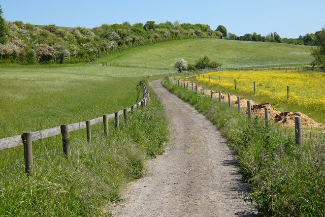
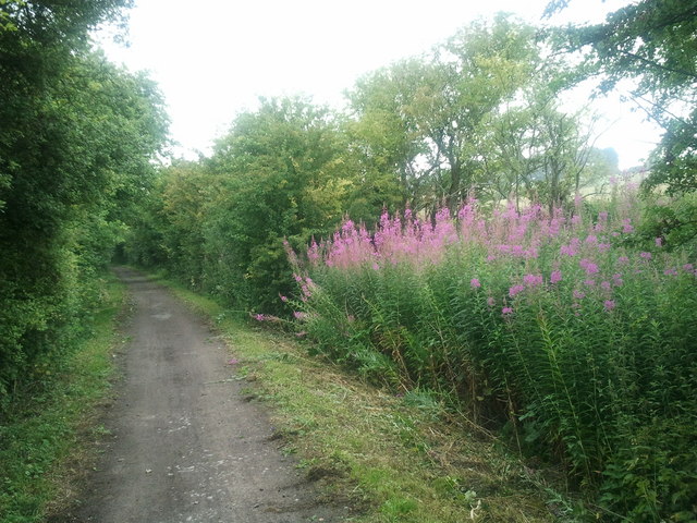
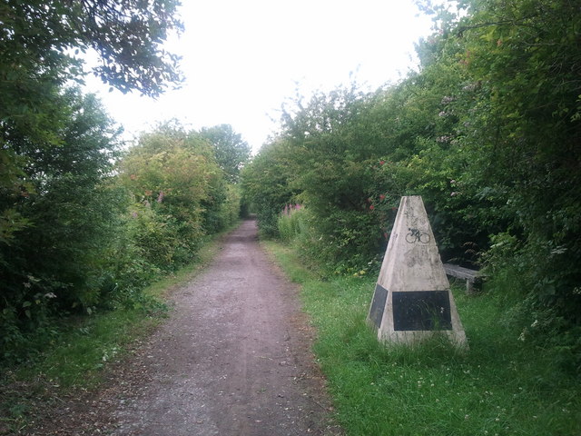
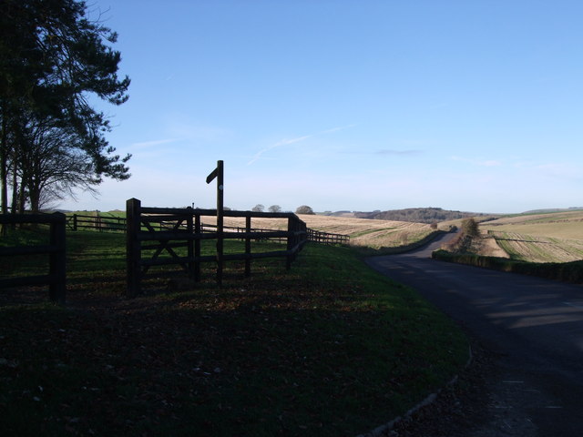
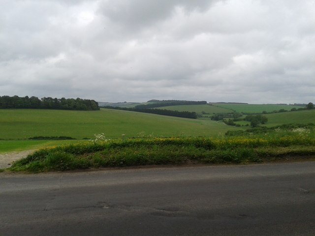
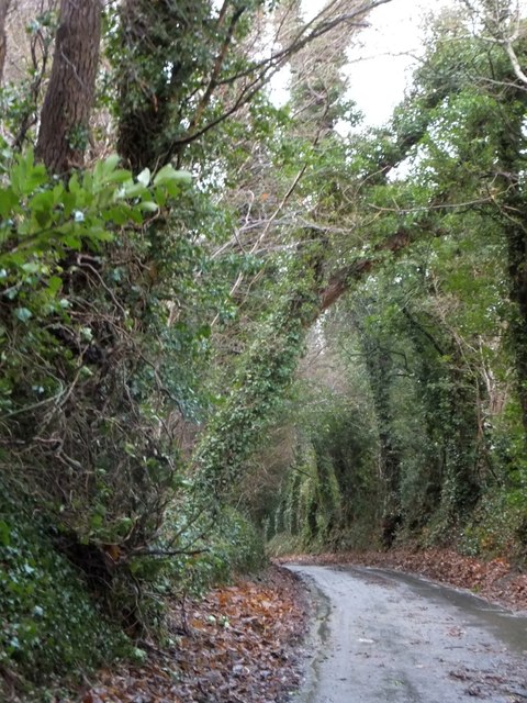
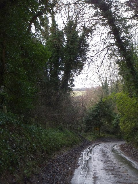
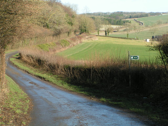
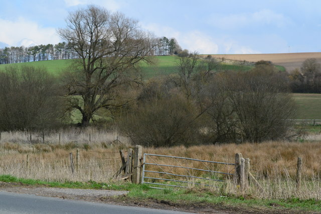
Nature enthusiasts are drawn to Marlborough for its stunning natural surroundings. The surrounding countryside is perfect for outdoor activities such as walking, cycling, and horse riding. The nearby Savernake Forest, one of the largest privately-owned forests in England, provides ample opportunities for exploration.
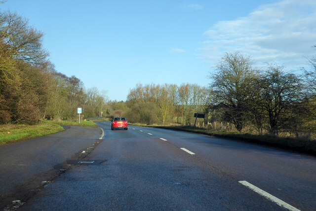
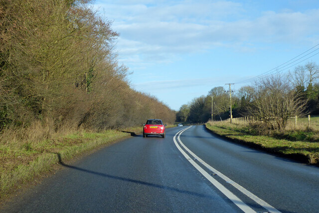
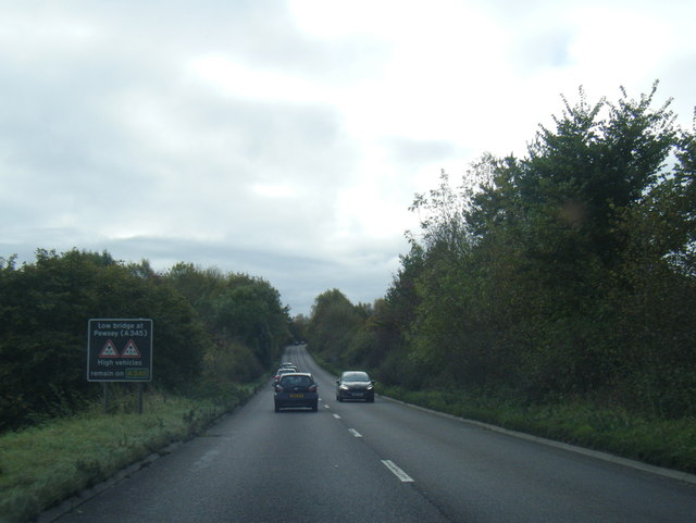
Marlborough's location also makes it a popular tourist destination, as it is well-connected to major cities like London and Bristol. The town offers a range of amenities, including independent shops, restaurants, and cafes, making it an attractive place to live or visit.
If you have any feedback on the listing, please let us know in the comments section below.
Marlborough Images
Images are sourced within 2km of 51.423885/-1.73336 or Grid Reference SU1869. Thanks to Geograph Open Source API. All images are credited.
Marlborough is located at Grid Ref: SU1869 (Lat: 51.423885, Lng: -1.73336)
Unitary Authority: Wiltshire
Police Authority: Wiltshire
What 3 Words
///triathlon.wiggly.first. Near Marlborough, Wiltshire
Nearby Locations
Related Wikis

St Mary's Church, Marlborough
St Mary's Church is the Church of England parish church in the town of Marlborough, Wiltshire, England. The church stands at the east end of the town's...
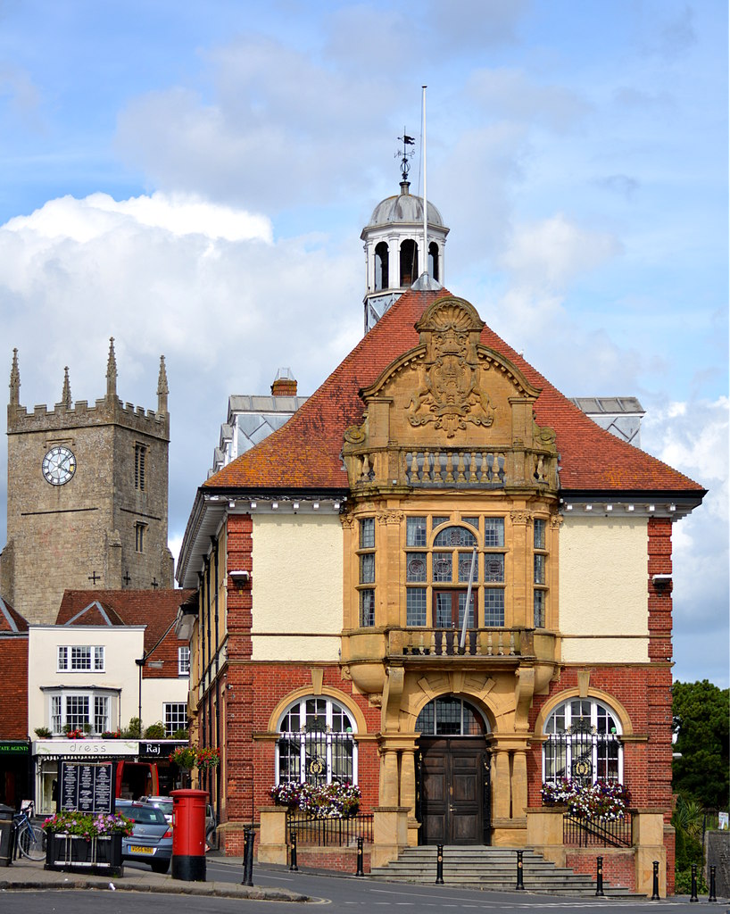
Marlborough Town Hall
Marlborough Town Hall is a municipal building in the High Street in Marlborough, Wiltshire, England. The structure, which is the meeting place of Marlborough...
Marlborough and Ramsbury Rural District
Marlborough and Ramsbury was a rural district in Wiltshire, England from 1935 to 1974. It was formed by a County Review Order in 1935 as a merger of the...
Marlborough, Wiltshire
Marlborough ( MAWL-bər-ə, MARL-) is a market town and civil parish in the English county of Wiltshire on the Old Bath Road, the old main road from London...
Nearby Amenities
Located within 500m of 51.423885,-1.73336Have you been to Marlborough?
Leave your review of Marlborough below (or comments, questions and feedback).