Marlborough
Settlement in Wiltshire
England
Marlborough
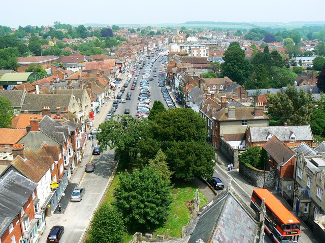
Marlborough is a historic market town located in the county of Wiltshire, England. Situated on the River Kennet, it is nestled in the picturesque North Wessex Downs, an Area of Outstanding Natural Beauty. With a population of around 8,500, Marlborough is known for its charm, architectural beauty, and rich heritage.
The town dates back to prehistoric times, and evidence of its ancient origins can be seen in the nearby Neolithic sites such as Avebury and Silbury Hill. Marlborough's history is also closely tied to the renowned Marlborough College, a prestigious independent school founded in 1843. The college's impressive Victorian buildings dominate the town's skyline, and its influence can be felt throughout the community.
Marlborough's High Street is a focal point, lined with elegant Georgian and Tudor buildings, many of which now house boutique shops, cafes, and restaurants. The town's market tradition continues to thrive, with a weekly market held every Wednesday and an annual Mop Fair attracting visitors from far and wide.
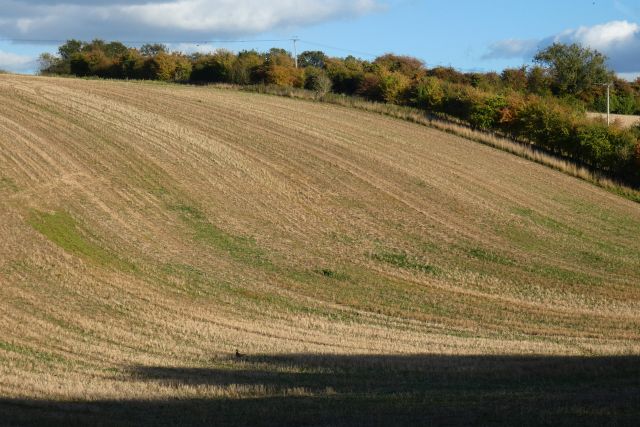
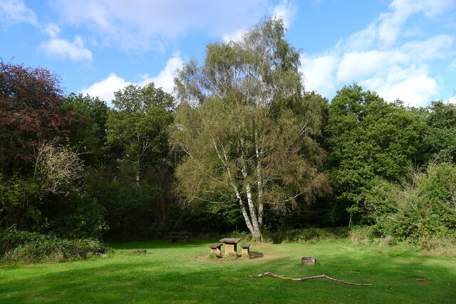
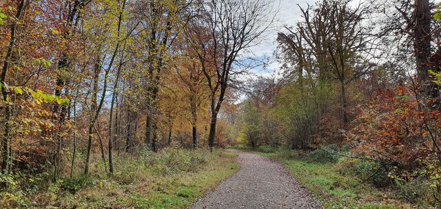
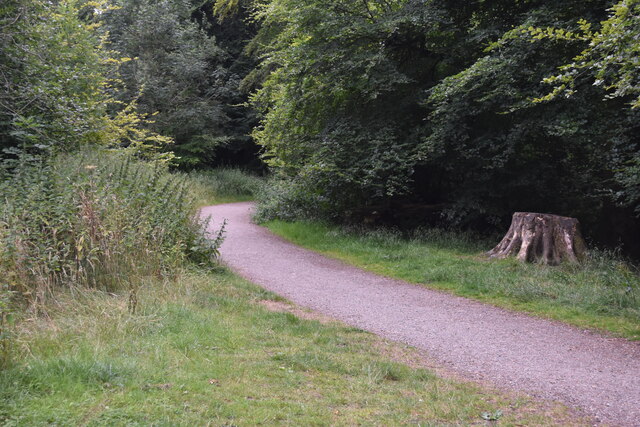
Outdoor enthusiasts are drawn to Marlborough for its proximity to the Marlborough Downs and Savernake Forest, offering ample opportunities for walking, cycling, and exploring the beautiful countryside. The area is also known for its vineyards, producing award-winning English sparkling wines.
Marlborough hosts several events throughout the year, including the Marlborough Jazz Festival and the Marlborough Literature Festival, which attract both locals and visitors. Its central location provides easy access to larger cities such as Bath, Swindon, and Salisbury, making it an ideal base for exploring the region.
In summary, Marlborough, Wiltshire is a charming market town steeped in history and surrounded by stunning natural landscapes, offering a perfect blend of tradition, culture, and outdoor pursuits.
If you have any feedback on the listing, please let us know in the comments section below.
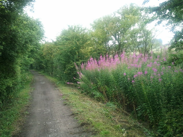
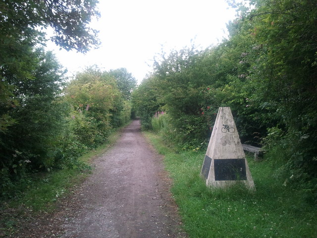
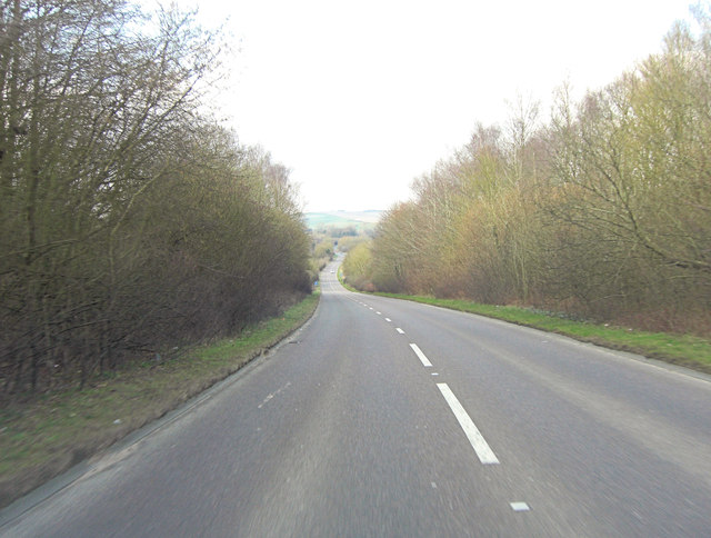
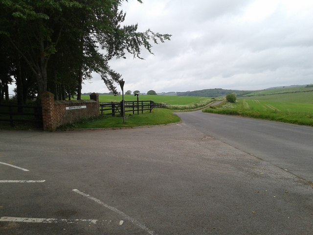
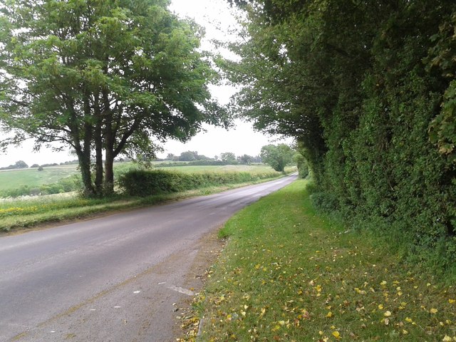
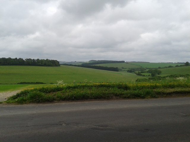
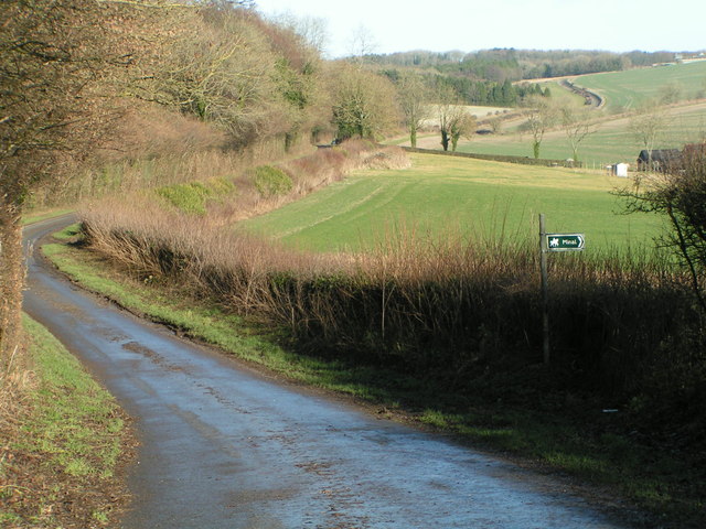
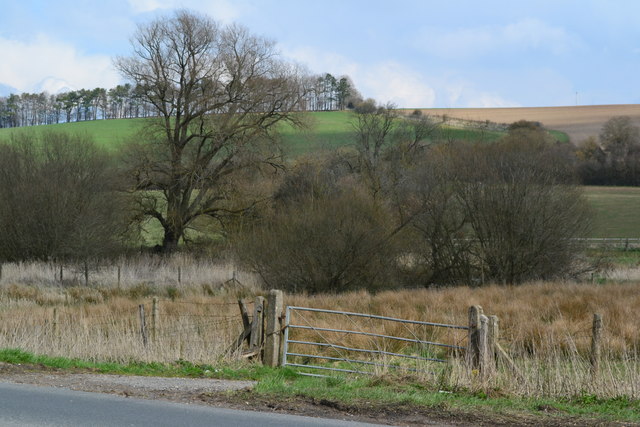
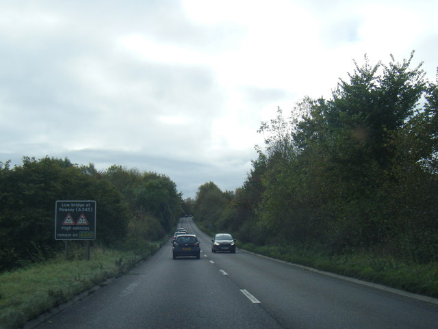
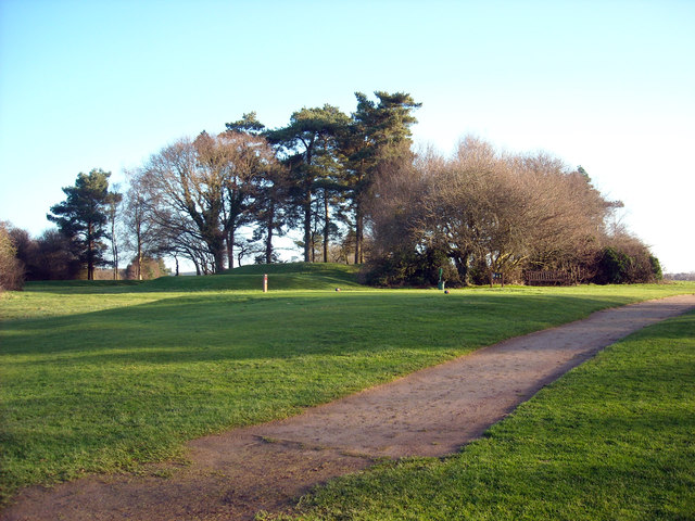
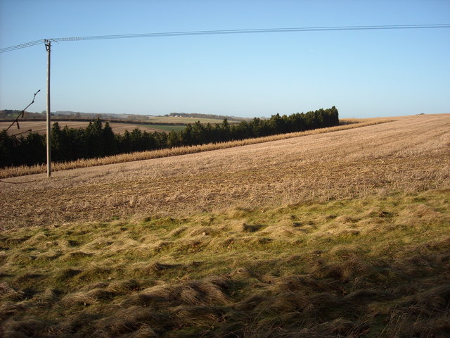
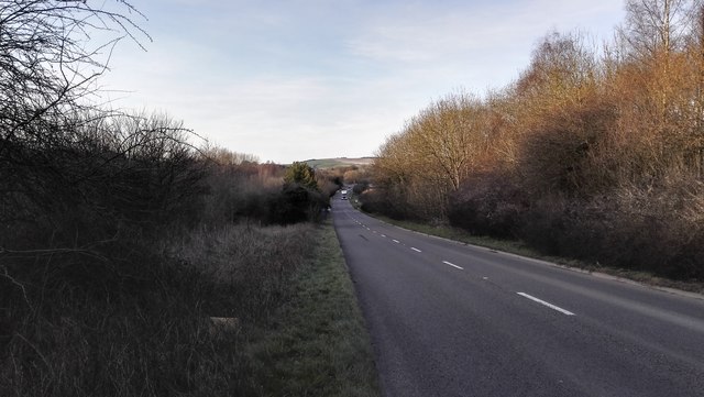
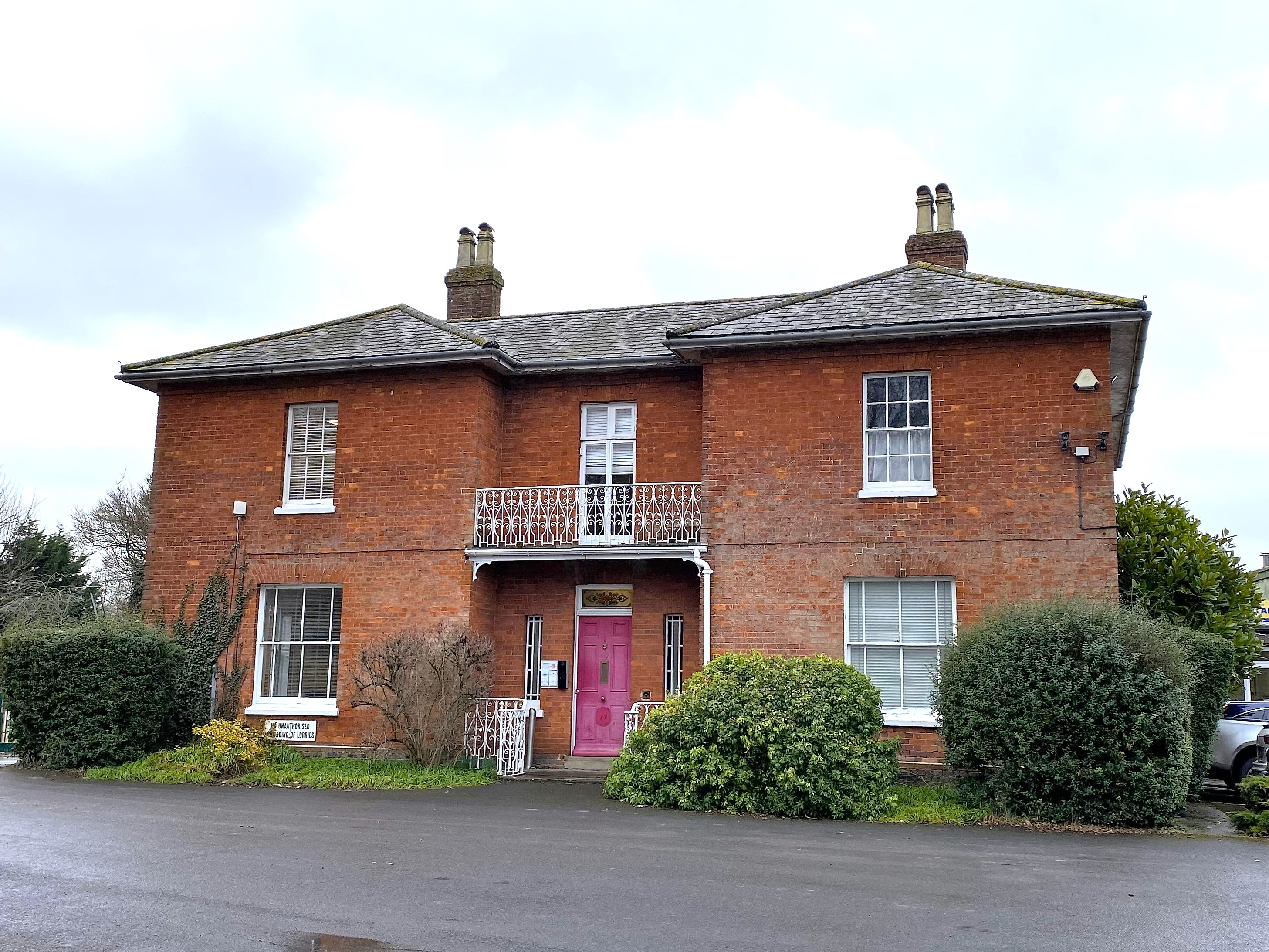
Marlborough Images
Images are sourced within 2km of 51.421421/-1.72952 or Grid Reference SU1869. Thanks to Geograph Open Source API. All images are credited.
Marlborough is located at Grid Ref: SU1869 (Lat: 51.421421, Lng: -1.72952)
Unitary Authority: Wiltshire
Police Authority: Wiltshire
What 3 Words
///appealed.sway.protests. Near Marlborough, Wiltshire
Nearby Locations
Related Wikis
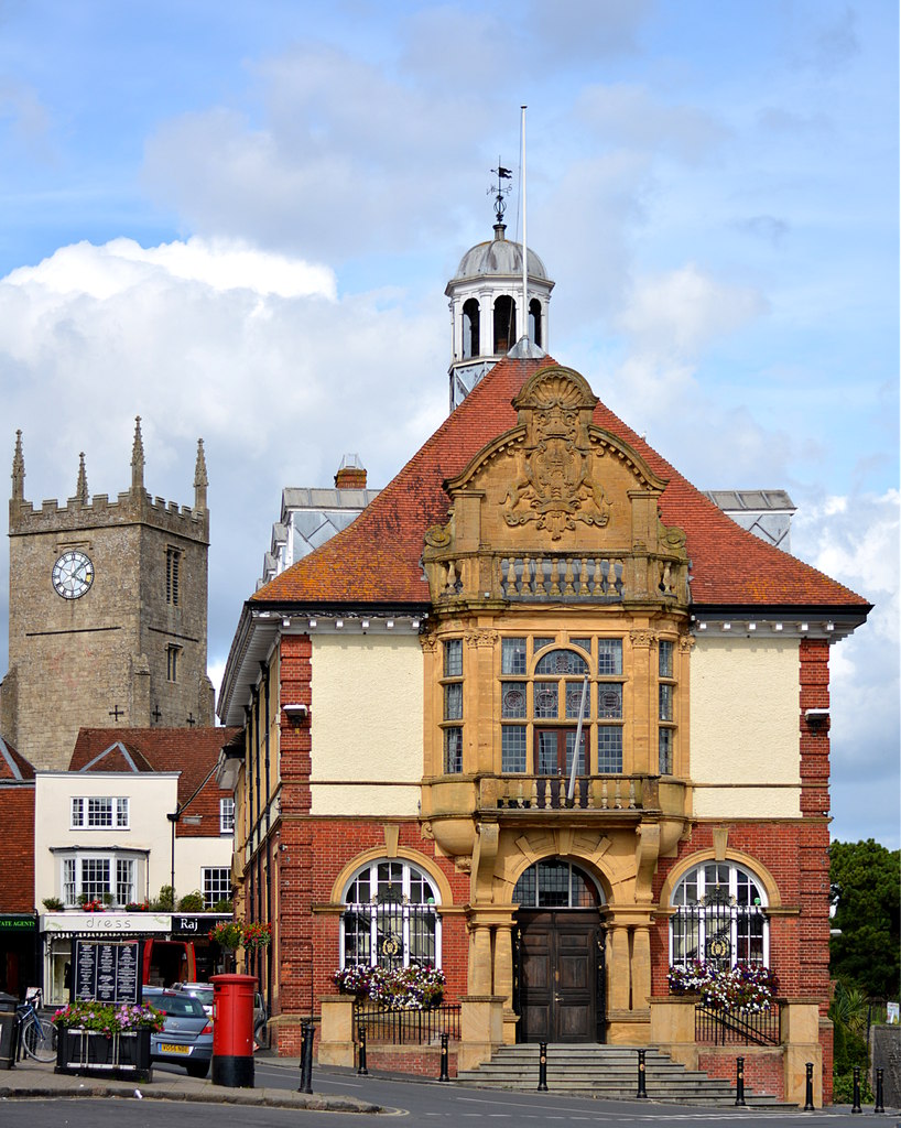
Marlborough Town Hall
Marlborough Town Hall is a municipal building in the High Street in Marlborough, Wiltshire, England. The structure, which is the meeting place of Marlborough...

St Mary's Church, Marlborough
St Mary's Church is the Church of England parish church in the town of Marlborough, Wiltshire, England. The church stands at the east end of the town's...
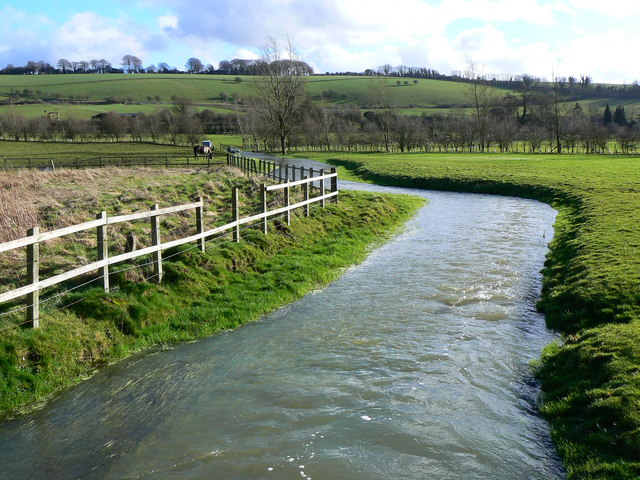
River Og
The River Og is a short river in Wiltshire, England. It rises near the hamlet of Draycot Foliat, and flows south for about 3.1 km (1.9 miles) through Ogbourne...
Marlborough and Ramsbury Rural District
Marlborough and Ramsbury was a rural district in Wiltshire, England from 1935 to 1974. It was formed by a County Review Order in 1935 as a merger of the...
Marlborough, Wiltshire
Marlborough ( MAWL-bər-ə, MARL-) is a market town and civil parish in the English county of Wiltshire on the Old Bath Road, the old main road from London...

St John's Marlborough
St John's Marlborough (formerly St John's School and Community College) is a mixed secondary school with academy status in Marlborough, Wiltshire, England...

Marlborough Castle
Marlborough Castle, locally known and recorded in historical documents as The Mound, was an 11th-century royal castle located in the civil parish of Marlborough...

Marlborough railway stations
Marlborough railway stations refers to the two railway stations which served Marlborough, Wiltshire, England, until 1964. The stations were on separate...
Nearby Amenities
Located within 500m of 51.421421,-1.72952Have you been to Marlborough?
Leave your review of Marlborough below (or comments, questions and feedback).