Marlbrook
Settlement in Herefordshire
England
Marlbrook
Marlbrook is a small village located in the county of Herefordshire, England. Situated approximately 7 miles northwest of the town of Bromyard, Marlbrook is nestled in a picturesque rural setting, surrounded by rolling hills and farmland.
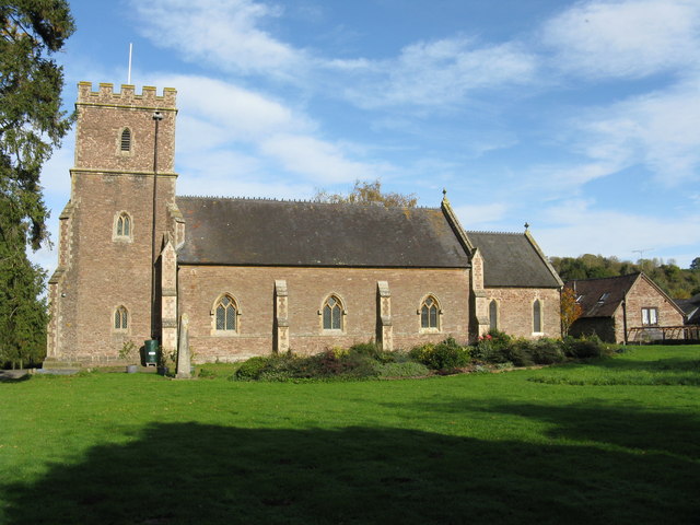
The village has a population of around 200 residents, making it a close-knit and tight community. The architecture in Marlbrook reflects its rich history, with a mix of traditional stone cottages and more modern houses. The village is known for its tranquil atmosphere and natural beauty, attracting visitors who seek a peaceful retreat away from the hustle and bustle of city life.
Marlbrook is not heavily commercialized, with only a few local amenities available within the village. These include a small convenience store, a post office, and a charming village pub, where locals and visitors can enjoy a pint and traditional pub food. For more extensive shopping and services, residents typically travel to Bromyard or other nearby towns.
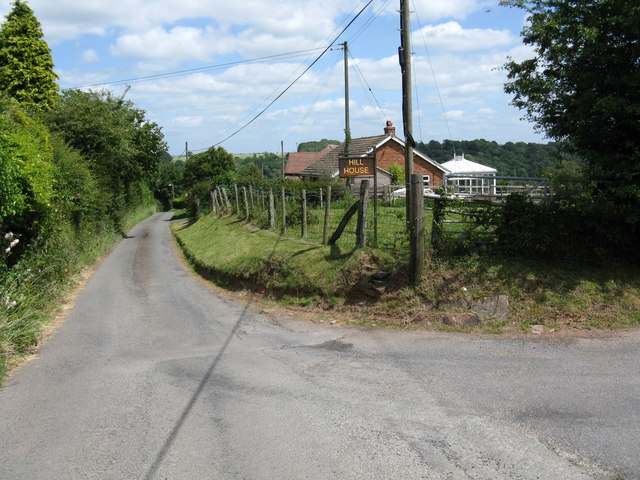
The area surrounding Marlbrook offers plenty of opportunities for outdoor activities. The countryside is crisscrossed with public footpaths and bridleways, making it ideal for walking, hiking, and horseback riding. The village is also within close proximity to the Herefordshire Trail, a long-distance walking route that passes through stunning landscapes and historic sites.
Overall, Marlbrook is a peaceful and idyllic village that offers a slower pace of life, surrounded by natural beauty and a strong sense of community.
If you have any feedback on the listing, please let us know in the comments section below.
Marlbrook Images
Images are sourced within 2km of 52.188714/-2.7182227 or Grid Reference SO5054. Thanks to Geograph Open Source API. All images are credited.


Marlbrook is located at Grid Ref: SO5054 (Lat: 52.188714, Lng: -2.7182227)
Unitary Authority: County of Herefordshire
Police Authority: West Mercia
What 3 Words
///prevented.corporate.thick. Near Hope under Dinmore, Herefordshire
Nearby Locations
Related Wikis

Marlbrook, Herefordshire
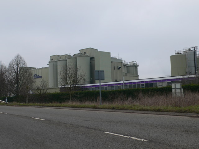
Marlbrook is an industrial and business park on the borders of and split between the civil parishes of Hope under Dinmore and Newton, in Herefordshire...

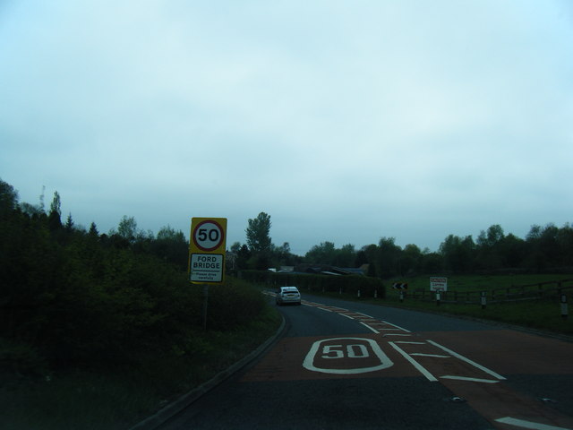
Ford Bridge railway station
Ford Bridge railway station was a station in Marlbrook, Herefordshire, England. The station was opened in 1854 and closed in 1954. After closure, the station...
Newton, Hampton Court
Newton is a linear settlement hamlet and civil parish in the county of Herefordshire, England, and is 10 miles (16 km) north from the city and county town...
Ford and Stoke Prior
Ford and Stoke Prior is a civil parish in the county of Herefordshire, England, and is 10 miles (16 km) north from the city and county town of Hereford...
Nearby Amenities
Located within 500m of 52.188714,-2.7182227Have you been to Marlbrook?
Leave your review of Marlbrook below (or comments, questions and feedback).