Ash Holme
Downs, Moorland in Yorkshire Harrogate
England
Ash Holme
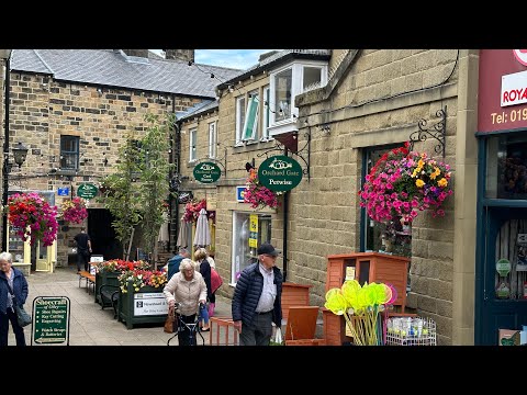
Ash Holme is a picturesque village nestled in the heart of Yorkshire, England. Situated amidst the stunning landscape of the Yorkshire Downs and Moorland, it offers an idyllic retreat for nature enthusiasts and those seeking a peaceful getaway.
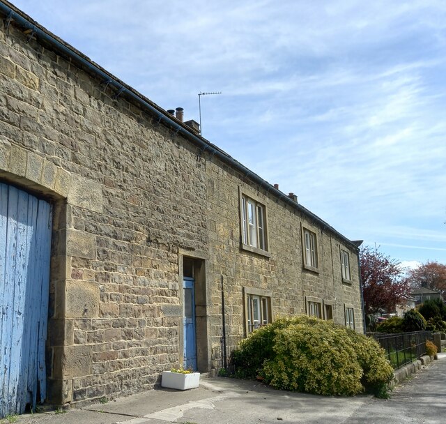
The village is characterized by its charming stone cottages, which exude a timeless appeal. Lush green fields and rolling hills surround Ash Holme, providing a serene backdrop for outdoor activities such as hiking, cycling, and birdwatching. The Yorkshire Downs, with their sweeping vistas and rugged terrain, attract visitors from far and wide.
Ash Holme is also renowned for its rich cultural heritage. The village church, dating back to the 12th century, stands as a testament to its historical significance. Traditional pubs and tearooms dot the village, offering a taste of local cuisine and warm hospitality.
In addition to its natural beauty and historical landmarks, Ash Holme boasts a thriving community spirit. Residents actively participate in local events and festivals, showcasing the village's vibrant traditions. The annual Ash Holme Fair is a highlight of the social calendar, featuring live music, traditional dances, and locally produced crafts.
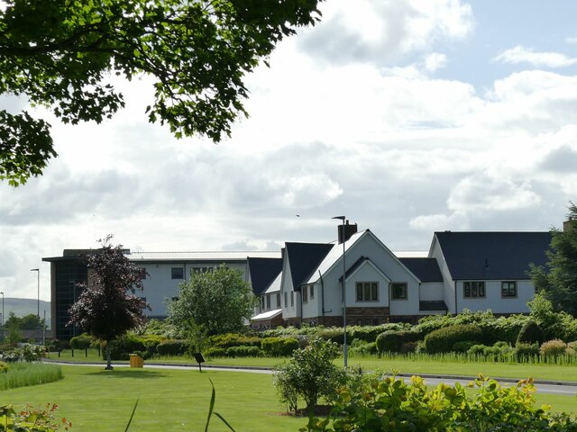
For those seeking a tranquil retreat, Ash Holme offers a range of accommodation options, including charming bed and breakfasts and self-catering cottages. Visitors can immerse themselves in the peaceful ambiance of the countryside while enjoying modern amenities.
In conclusion, Ash Holme is a hidden gem in the Yorkshire region, offering a blend of natural beauty, cultural heritage, and community spirit. Whether exploring the moorland, enjoying traditional fare, or simply basking in the tranquility, visitors to Ash Holme are sure to be captivated by its charm.
If you have any feedback on the listing, please let us know in the comments section below.
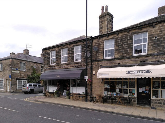
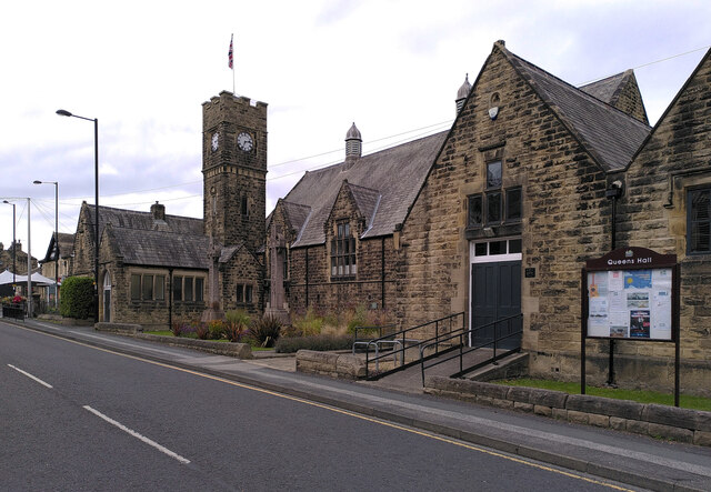
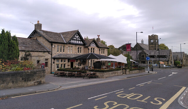
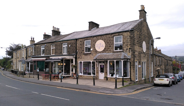
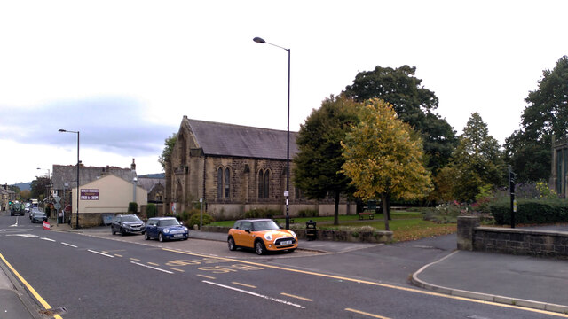
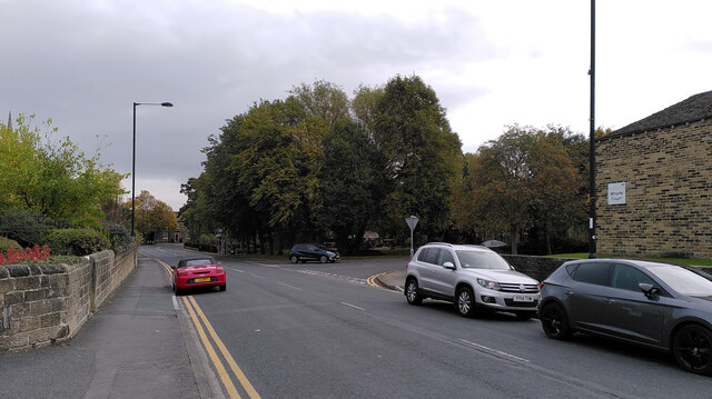
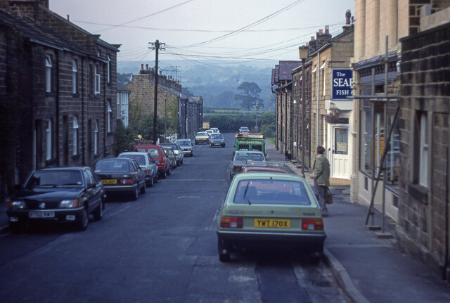
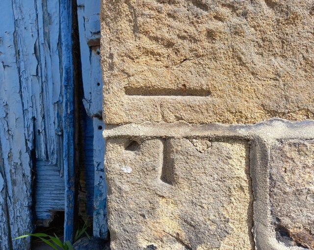
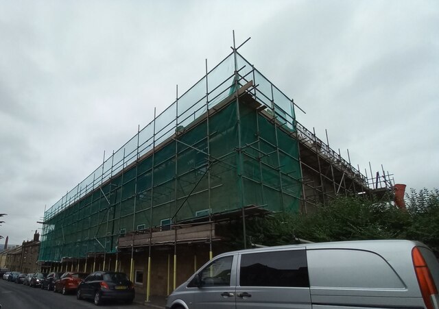
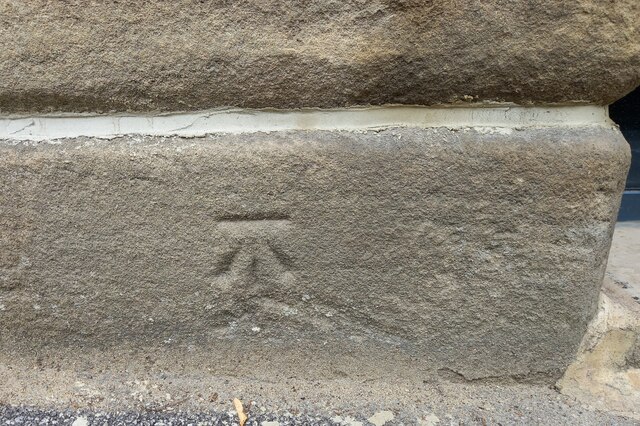
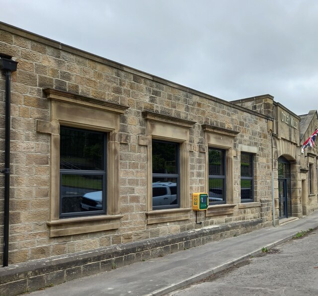
Ash Holme Images
Images are sourced within 2km of 53.912836/-1.7301743 or Grid Reference SE1746. Thanks to Geograph Open Source API. All images are credited.


Ash Holme is located at Grid Ref: SE1746 (Lat: 53.912836, Lng: -1.7301743)
Division: West Riding
Administrative County: North Yorkshire
District: Harrogate
Police Authority: North Yorkshire
What 3 Words
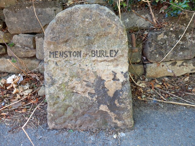
///brightly.preheated.baked. Near Burley in Wharfedale, West Yorkshire
Nearby Locations
Related Wikis

Weston Hall, Yorkshire
Weston Hall is a country house and Grade I listed building in Weston, North Yorkshire, England. == History and architecture == The house has been in the...

Weston, North Yorkshire
Weston is a village and civil parish in the former Harrogate district of North Yorkshire, England. The village is 1.2 miles (2 km) north–west of Otley...

Burley in Wharfedale
Burley in Wharfedale is a village and civil parish in West Yorkshire, England, in the Wharfedale valley. In 2011, it had a population of 7,041. The village...

Burley-in-Wharfedale railway station
Burley-in-Wharfedale railway station serves the village of Burley in Wharfedale in West Yorkshire, England, in the City of Bradford. The station lies on...
Wharfedale (ward)
Wharfedale is a ward in the north east of the City of Bradford Metropolitan District Council in West Yorkshire, England and is situated in Wharfedale...

Wharfedale Hospital
Wharfedale Hospital (formerly known as Wharfedale General Hospital) is located in the market town of Otley, West Yorkshire, England, and is managed by...

Scalebor Park Hospital
Scalebor Park Hospital was a mental health facility at Burley in Wharfedale in West Yorkshire, England. == History == The hospital, which was designed...

Newall, West Yorkshire
Newall (historically also spelt Newell) is an area of Otley in West Yorkshire, England. It lies on the north bank of the River Wharfe, across Otley Bridge...
Related Videos

A walk on Stunning Burley Moor! #hiking #walking #yorkshire
Welcome back to another video. This time we take a walk over Burley Moor between Ilkley and Menston. It was pretty windy so ...

The delights of Otley Town and the Chevin! #otley #walking #wellness #ellofawalk #chevin #scenic
We visit Otley, West Yorkshire and the Chevin to bring you some history, humour and scenery. Oh yes, and there's even time to ...
Otley Town Centre and surroundings walking Tour | HDR 4K
Otley is a market town and civil parish at a bridging point on the River Wharfe, in the City of Leeds metropolitan borough in West ...

Our First Walking Adventure (Part 2) - Uncut
Uncut - Series 1 - Episode 3 (Part 2) Watch up to a Week Early & Exclusive Content on Discord! Official Discord: ...
Nearby Amenities
Located within 500m of 53.912836,-1.7301743Have you been to Ash Holme?
Leave your review of Ash Holme below (or comments, questions and feedback).