Thurlstone Moor
Downs, Moorland in Yorkshire
England
Thurlstone Moor
Thurlstone Moor is a vast expanse of moorland located in the region of Yorkshire, England. Situated in the heart of the Yorkshire Dales, this area is renowned for its breathtaking natural beauty and rugged landscape. Spanning over several miles, Thurlstone Moor is characterized by its rolling hills, heather-covered moors, and scattered limestone outcrops.
The moorland of Thurlstone is predominantly made up of open, grassy areas interspersed with patches of heather, providing a habitat for numerous species of birds and wildlife. The area is particularly notable for its diverse bird population, with species such as curlews, lapwings, and red grouse commonly spotted in the region. Thurlstone Moor also serves as a breeding ground for several bird species, making it a popular destination for birdwatchers and nature enthusiasts.
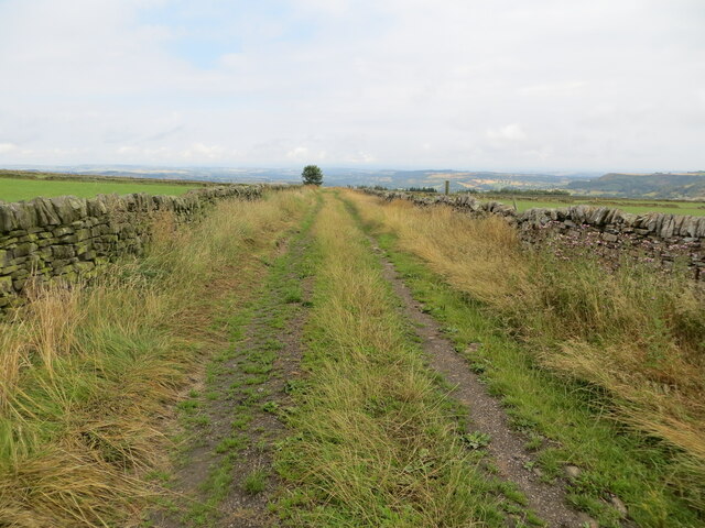
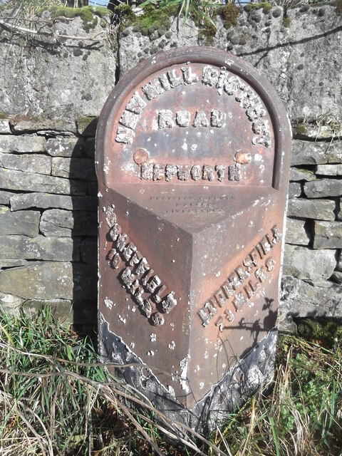
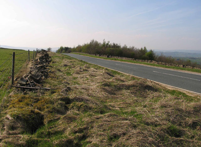
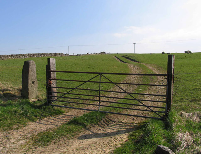
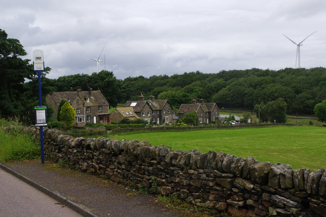
The landscape of Thurlstone Moor is further enhanced by the presence of dry stone walls, which crisscross the area, adding an element of charm and historical significance. These walls not only serve as boundaries but also provide shelter for wildlife and contribute to the preservation of the unique ecosystem that thrives within the moorland.
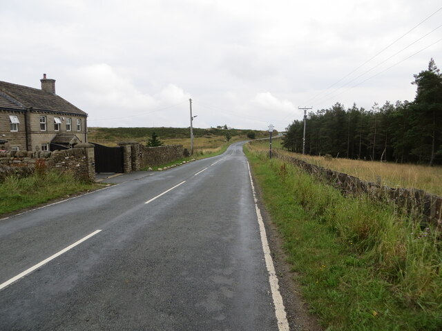
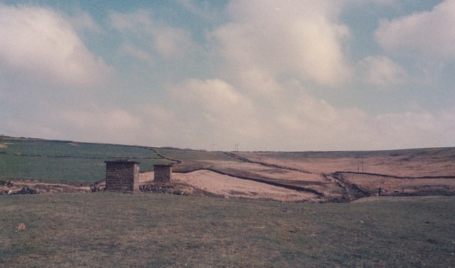
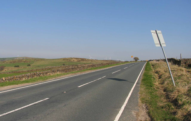
Visitors to Thurlstone Moor can enjoy a range of outdoor activities, including hiking, cycling, and horseback riding. The area is crisscrossed with a network of footpaths and bridleways, offering opportunities for exploration and discovery. From the moorland, visitors can also enjoy stunning panoramic views of the surrounding countryside, with the Yorkshire Dales National Park providing a picturesque backdrop.
In conclusion, Thurlstone Moor is a captivating and unspoiled landscape that showcases the beauty of Yorkshire's countryside. With its diverse wildlife, rolling hills, and historical dry stone walls, this moorland offers a tranquil and picturesque retreat for those seeking to immerse themselves in nature.
If you have any feedback on the listing, please let us know in the comments section below.
Thurlstone Moor Images
Images are sourced within 2km of 53.54255/-1.732819 or Grid Reference SE1705. Thanks to Geograph Open Source API. All images are credited.


Thurlstone Moor is located at Grid Ref: SE1705 (Lat: 53.54255, Lng: -1.732819)
Division: West Riding
Unitary Authority: Barnsley
Police Authority: South Yorkshire
What 3 Words
///springing.agreement.hamster. Near Shepley, West Yorkshire
Nearby Locations
Related Wikis

Crow Edge
Crow Edge is a hamlet in Dunford civil parish, situated on the A616, two miles southeast of Hepworth, West Yorkshire in the metropolitan borough of Barnsley...

Barnside
Barnside is a hamlet on Barnside Lane approximately 3/4 mile to the southeast of Hepworth in West Yorkshire, England. It is in the civic parish of Holme...

Carlecotes
Carlecotes is a village in the metropolitan borough of Barnsley in South Yorkshire, England. Carlecotes is within Dunford civil parish. The village is...

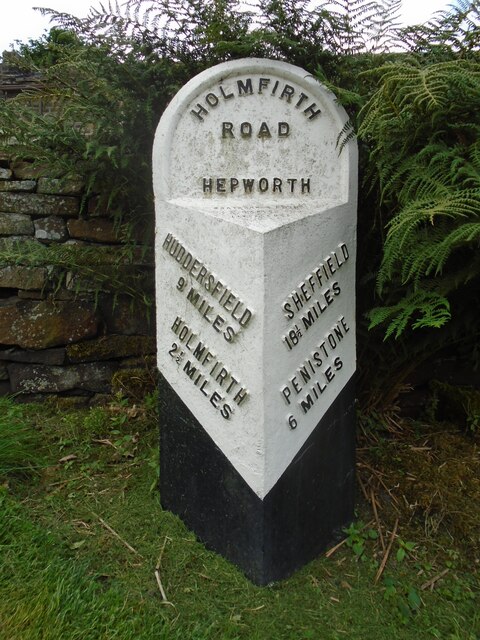
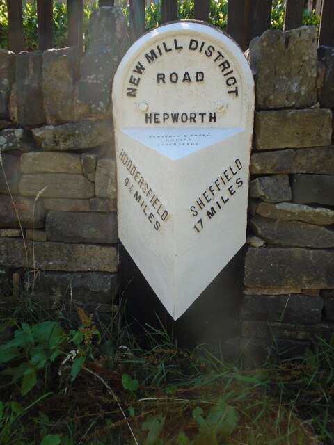
Hepworth, West Yorkshire
Hepworth is a village and former civil parish, now in the parish of Holme Valley, in the metropolitan borough of Kirklees, in West Yorkshire, England....

Dunford
Dunford is a civil parish in the Metropolitan Borough of Barnsley, 14.5 miles (23.3 km) northwest of Sheffield in South Yorkshire, England. It lies in...

Hazlehead Bridge railway station
Hazlehead Bridge railway station was a railway station on the Sheffield, Ashton-under-Lyne and Manchester Railway's Woodhead Line. It served villages scattered...

Catshaw
Catshaw is a hamlet in the western parts of Penistone, in the Barnsley district, in the county of South Yorkshire, England. It lies about 0.9 miles (1...

Scholes, Holme Valley
Scholes is a village and former civil parish, now in the parish of Holme Valley, in Kirklees, West Yorkshire, England. It is situated 1 mile (2 km) to...
Nearby Amenities
Located within 500m of 53.54255,-1.732819Have you been to Thurlstone Moor?
Leave your review of Thurlstone Moor below (or comments, questions and feedback).