Cote Hill
Hill, Mountain in Yorkshire
England
Cote Hill
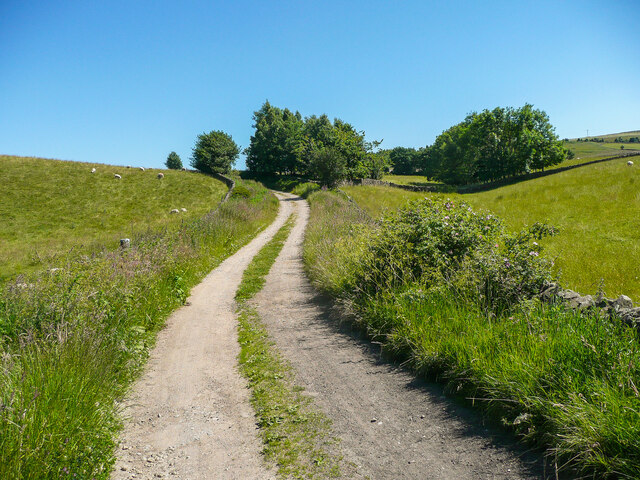
Cote Hill is a picturesque hill located in the county of Yorkshire, England. Situated in the northern part of the county, it forms part of the Yorkshire Dales National Park. With an elevation of approximately 560 meters (1,837 feet), Cote Hill is not considered a mountain but rather a prominent hill in the area.
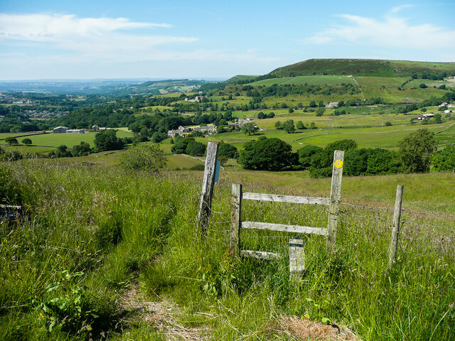
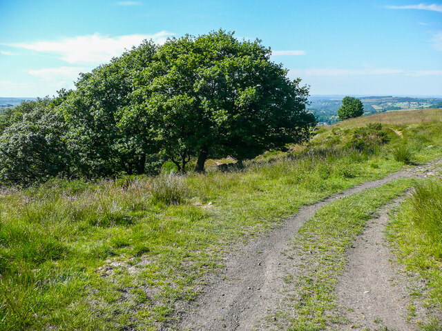
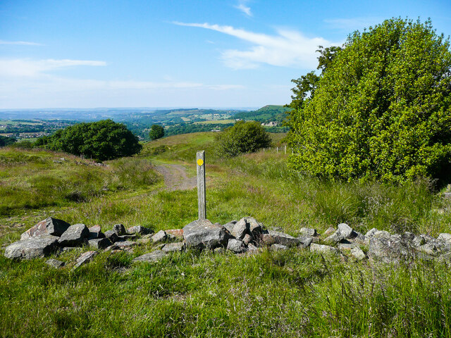
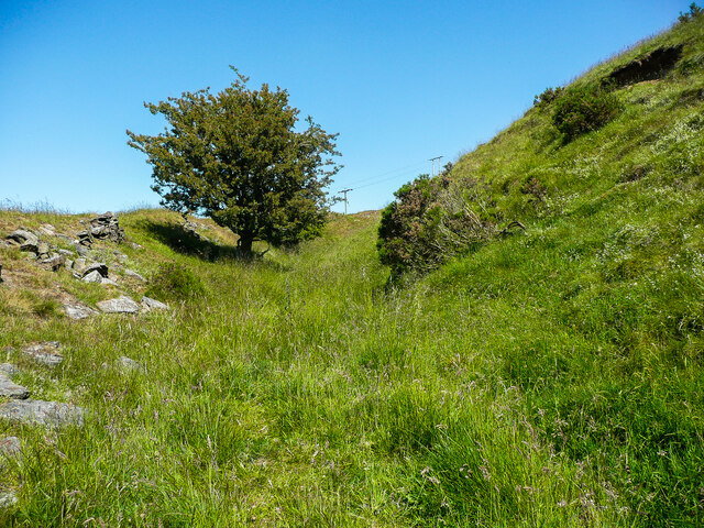
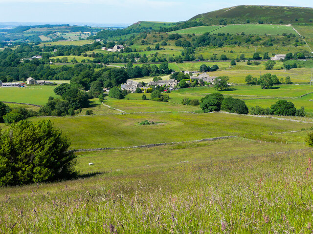
The hill boasts stunning panoramic views of the surrounding landscape, offering visitors a breathtaking sight of the rolling hills, lush green valleys, and charming villages that dot the countryside. Its location within the national park makes it a popular destination for hikers, nature enthusiasts, and outdoor adventurers.
Cote Hill is known for its diverse flora and fauna, with a variety of plant species, including heather, bilberry, and wildflowers, covering its slopes. The hill is also home to a range of wildlife, such as red grouse, curlews, and lapwings, which can be spotted by keen observers.
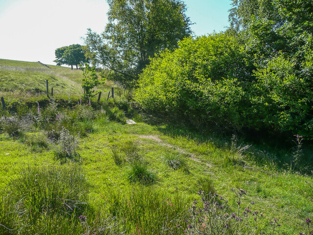
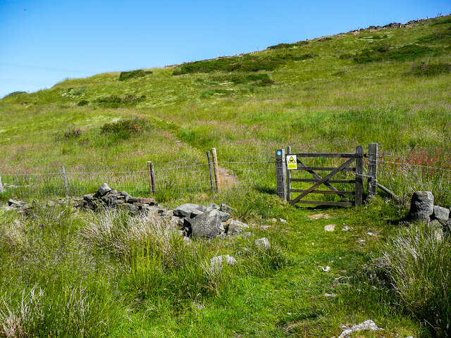
Walking trails and paths have been established to explore the hill, allowing visitors to enjoy the beauty of the Yorkshire Dales up close. These trails cater to different levels of difficulty, accommodating both experienced hikers and casual walkers.
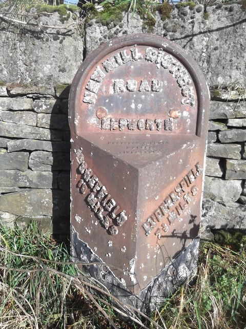
In addition to its natural beauty, Cote Hill has historical significance. The remnants of ancient settlements, including stone walls and boundary markers, can be found scattered across the hill, providing a glimpse into the area's past.
Overall, Cote Hill is a captivating destination that showcases the natural splendor of Yorkshire. Its combination of stunning views, diverse wildlife, and historical remnants make it a must-visit location for anyone seeking to explore the beauty of the Yorkshire Dales.
If you have any feedback on the listing, please let us know in the comments section below.
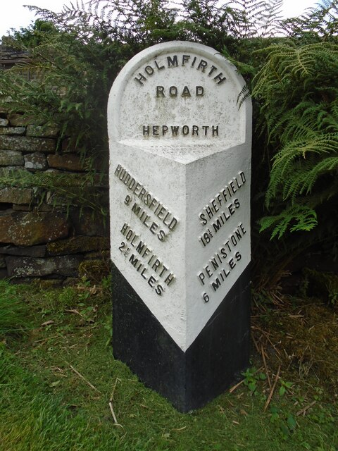
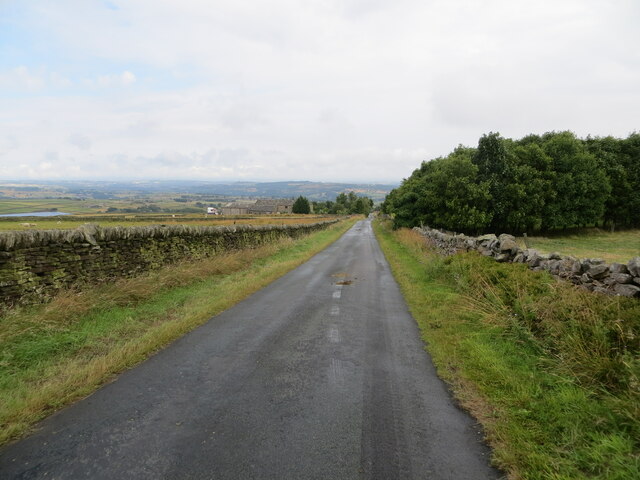
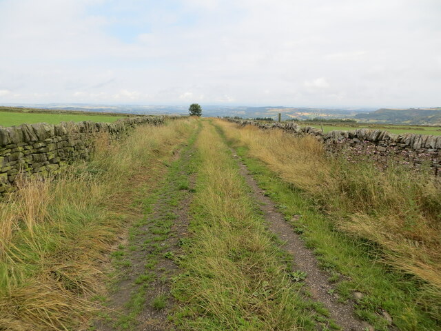
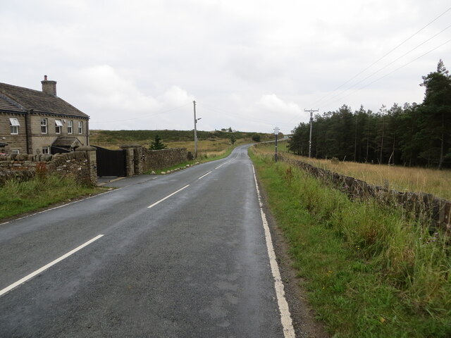
Cote Hill Images
Images are sourced within 2km of 53.545594/-1.7393043 or Grid Reference SE1705. Thanks to Geograph Open Source API. All images are credited.

Cote Hill is located at Grid Ref: SE1705 (Lat: 53.545594, Lng: -1.7393043)
Division: West Riding
Unitary Authority: Kirklees
Police Authority: West Yorkshire
What 3 Words
///factored.founding.parts. Near Holmfirth, West Yorkshire
Nearby Locations
Related Wikis

Barnside
Barnside is a hamlet on Barnside Lane approximately 3/4 mile to the southeast of Hepworth in West Yorkshire, England. It is in the civic parish of Holme...

Crow Edge
Crow Edge is a hamlet in Dunford civil parish, situated on the A616, two miles southeast of Hepworth, West Yorkshire in the metropolitan borough of Barnsley...

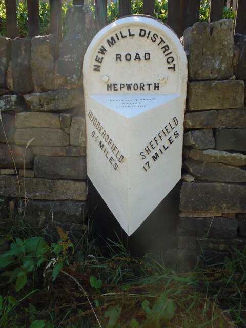
Hepworth, West Yorkshire
Hepworth is a village and former civil parish, now in the parish of Holme Valley, in the metropolitan borough of Kirklees, in West Yorkshire, England....

Carlecotes
Carlecotes is a village in the metropolitan borough of Barnsley in South Yorkshire, England. Carlecotes is within Dunford civil parish. The village is...

Dunford
Dunford is a civil parish in the Metropolitan Borough of Barnsley, 14.5 miles (23.3 km) northwest of Sheffield in South Yorkshire, England. It lies in...

Scholes, Holme Valley
Scholes is a village and former civil parish, now in the parish of Holme Valley, in Kirklees, West Yorkshire, England. It is situated 1 mile (2 km) to...

Hade Edge
Hade Edge is a small village to the south of Holmfirth and southeast of Hepworth in West Yorkshire, England. It is in the parish of Holme Valley and the...
Jackson Bridge
Jackson Bridge is a small village in the civil parish of Holme Valley in the Metropolitan Borough of Kirklees in West Yorkshire, England and within the...
Nearby Amenities
Located within 500m of 53.545594,-1.7393043Have you been to Cote Hill?
Leave your review of Cote Hill below (or comments, questions and feedback).